Kentland is a town in Jefferson Township, Newton County, in the U.S. state of Indiana. The population was 1,641 at the 2020 census.
| Name: | Kentland town |
|---|---|
| LSAD Code: | 43 |
| LSAD Description: | town (suffix) |
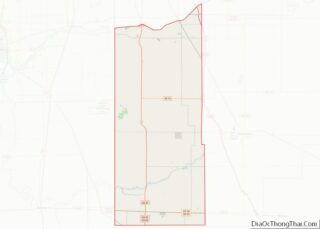
| State: | Indiana |
| County: | Newton County |
| Elevation: | 682 ft (208 m) |
| Total Area: | 1.35 sq mi (3.50 km²) |
| Land Area: | 1.35 sq mi (3.50 km²) |
| Water Area: | 0.00 sq mi (0.00 km²) |
| Total Population: | 1,641 |
| Population Density: | 1,215.56/sq mi (469.41/km²) |
| ZIP code: | 47951 |
| Area code: | 219 |
| FIPS code: | 1839546 |
| GNISfeature ID: | 437256 |
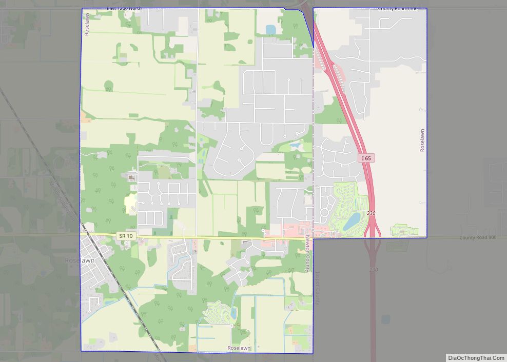
Online Interactive Map
Click on ![]() to view map in "full screen" mode.
to view map in "full screen" mode.
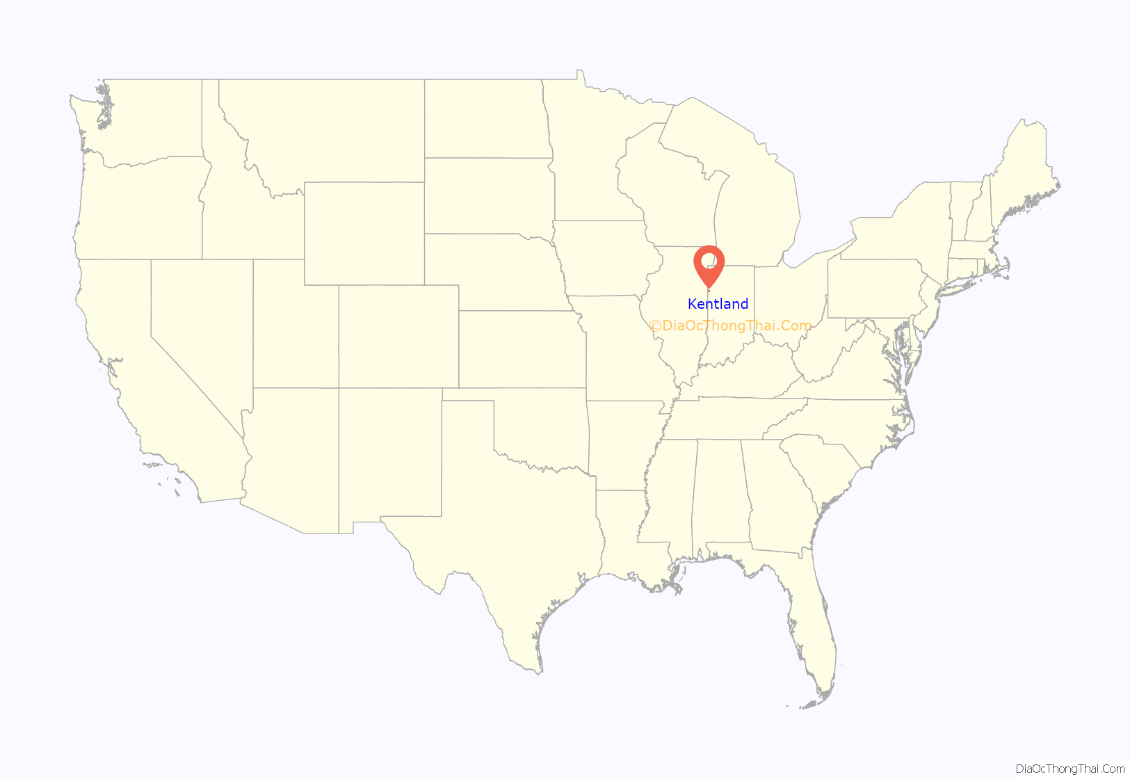
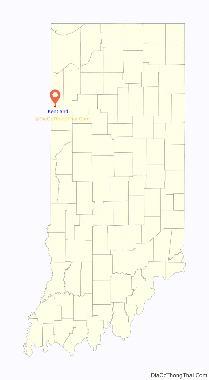
Kentland location map. Where is Kentland town?
History
The town was founded in 1860 as “Kent”, though this name was soon lengthened to Kentland. The name honors Alexander J. Kent, who acquired the then marshy plat and prepared it for development. The town is the county seat of Newton County.
Kentland is the birthplace of famous turn-of-the-century humorist George Ade, author of such plays as The College Widow, Artie, and The Sultan of Sulu. Purdue University’s Ross–Ade Stadium, home of the Boilermakers football team, is named for him and fellow Purdue benefactor David Ross. Disgraced Indiana governor Warren McCray, convicted of mail fraud and forced to resign in 1924, also hailed from Kentland.
The Newton County Courthouse was listed on the National Register of Historic Places in 2008.
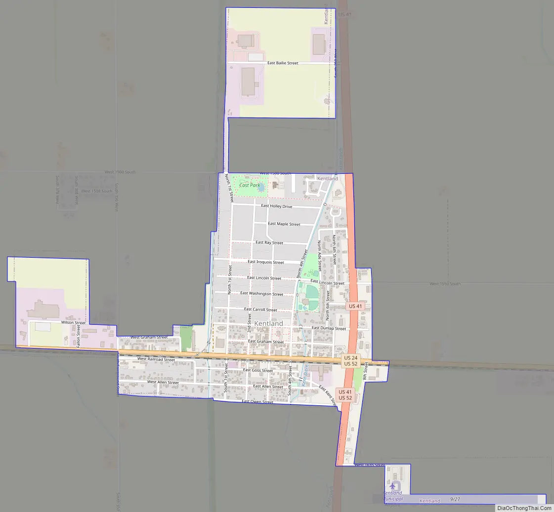
Kentland Road Map
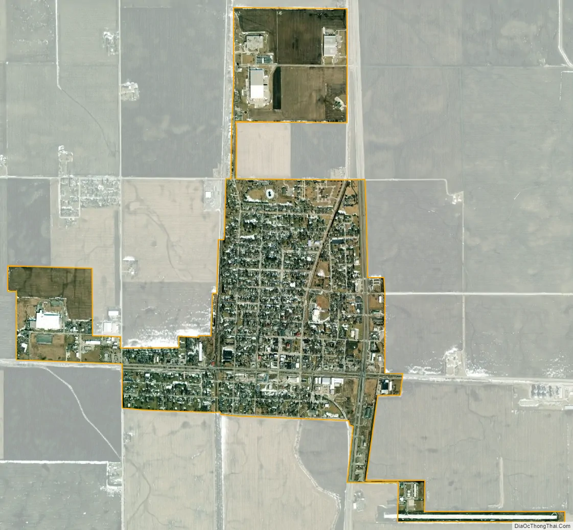
Kentland city Satellite Map
Geography
According to the 2010 census, Kentland has a total area of 1.53 square miles (3.96 km), all land.
The Kentland crater, a probable meteorite impact crater, is located between Kentland and Goodland.
See also
Map of Indiana State and its subdivision:- Adams
- Allen
- Bartholomew
- Benton
- Blackford
- Boone
- Brown
- Carroll
- Cass
- Clark
- Clay
- Clinton
- Crawford
- Daviess
- De Kalb
- Dearborn
- Decatur
- Delaware
- Dubois
- Elkhart
- Fayette
- Floyd
- Fountain
- Franklin
- Fulton
- Gibson
- Grant
- Greene
- Hamilton
- Hancock
- Harrison
- Hendricks
- Henry
- Howard
- Huntington
- Jackson
- Jasper
- Jay
- Jefferson
- Jennings
- Johnson
- Knox
- Kosciusko
- LaGrange
- Lake
- Lake Michigan
- LaPorte
- Lawrence
- Madison
- Marion
- Marshall
- Martin
- Miami
- Monroe
- Montgomery
- Morgan
- Newton
- Noble
- Ohio
- Orange
- Owen
- Parke
- Perry
- Pike
- Porter
- Posey
- Pulaski
- Putnam
- Randolph
- Ripley
- Rush
- Saint Joseph
- Scott
- Shelby
- Spencer
- Starke
- Steuben
- Sullivan
- Switzerland
- Tippecanoe
- Tipton
- Union
- Vanderburgh
- Vermillion
- Vigo
- Wabash
- Warren
- Warrick
- Washington
- Wayne
- Wells
- White
- Whitley
- Alabama
- Alaska
- Arizona
- Arkansas
- California
- Colorado
- Connecticut
- Delaware
- District of Columbia
- Florida
- Georgia
- Hawaii
- Idaho
- Illinois
- Indiana
- Iowa
- Kansas
- Kentucky
- Louisiana
- Maine
- Maryland
- Massachusetts
- Michigan
- Minnesota
- Mississippi
- Missouri
- Montana
- Nebraska
- Nevada
- New Hampshire
- New Jersey
- New Mexico
- New York
- North Carolina
- North Dakota
- Ohio
- Oklahoma
- Oregon
- Pennsylvania
- Rhode Island
- South Carolina
- South Dakota
- Tennessee
- Texas
- Utah
- Vermont
- Virginia
- Washington
- West Virginia
- Wisconsin
- Wyoming