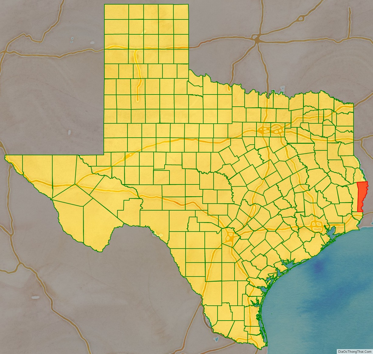
Newton County is the easternmost county in the U.S. state of Texas. As of the 2020 census, its population was 12,217. Its county seat is Newton. The county is named for John Newton, a veteran of the American Revolutionary War.
Newton County is included in the Beaumont–Port Arthur Metropolitan Statistical Area.
As of 2000, it had the second-lowest population density for all counties in East Texas, behind only Red River County, and the lowest population density in Deep East Texas.
| Name: | Newton County |
|---|---|
| FIPS code: | 48-351 |
| State: | Texas |
| Founded: | 1846 |
| Named for: | John Newton |
| Seat: | Newton |
| Largest city: | Newton |
| Total Area: | 940 sq mi (2,400 km²) |
| Land Area: | 934 sq mi (2,420 km²) |
| Total Population: | 12,217 |
| Population Density: | 13/sq mi (5.0/km²) |
| Time zone: | UTC−6 (Central) |
| Summer Time Zone (DST): | UTC−5 (CDT) |
| Website: | www.co.newton.tx.us |
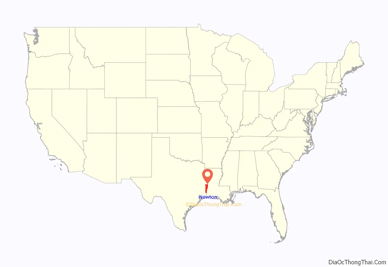
Newton County location map. Where is Newton County?
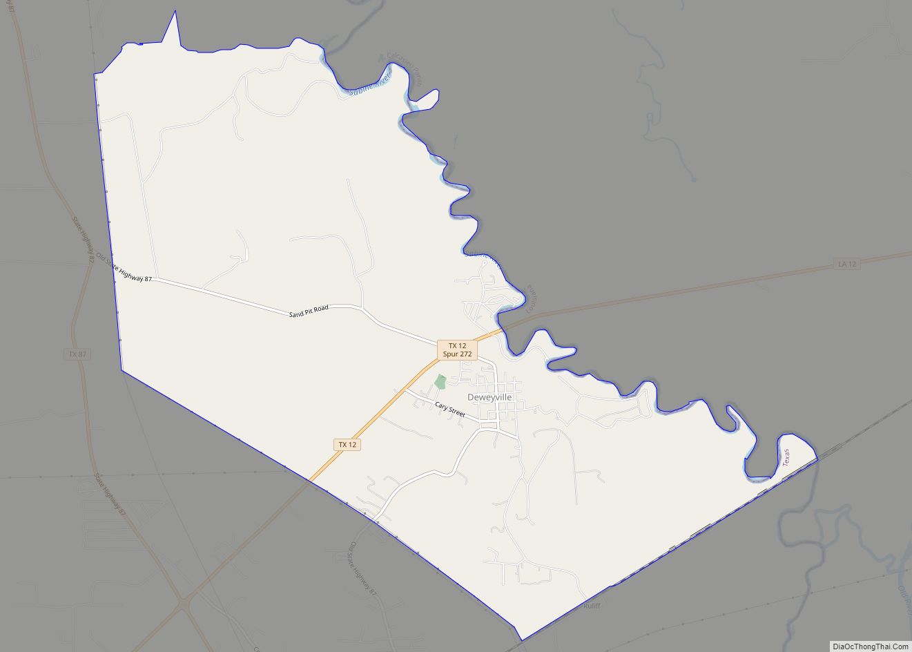
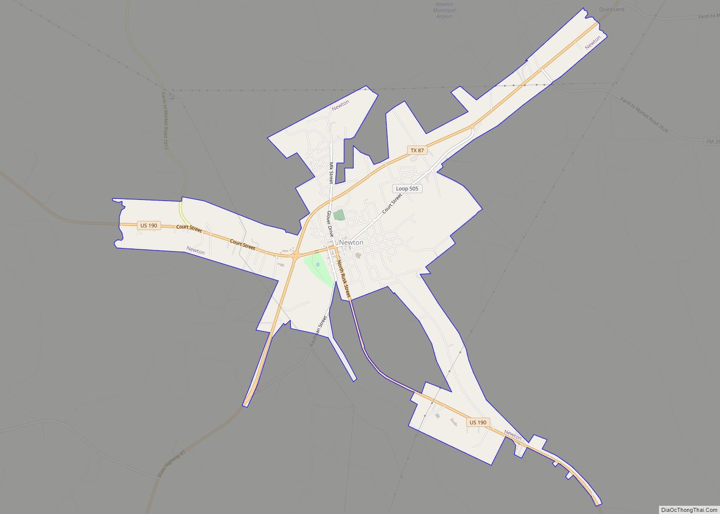
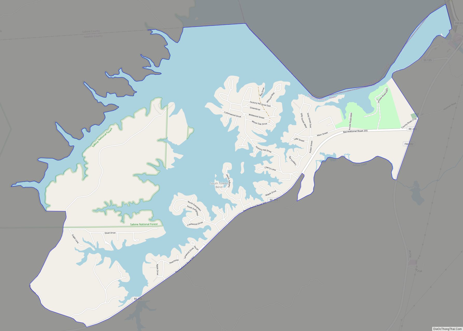
Newton County Road Map
Geography
According to the U.S. Census Bureau, the county has a total area of 940 square miles (2,400 km), of which 934 square miles (2,420 km) is land and 6.1 square miles (16 km) (0.6%) is covered by water.
Major highways
- U.S. Highway 190
- State Highway 12
- State Highway 62
- State Highway 63
- State Highway 87
- Recreational Road 255
Adjacent counties and parishes
- Sabine County (north)
- Vernon Parish, Louisiana (northeast)
- Beauregard Parish, Louisiana (east)
- Calcasieu Parish, Louisiana (southeast)
- Orange County (south)
- Jasper County (west)
