Chelsea is a town in and the shire town (county seat) of Orange County, Vermont, United States. The population was 1,233 at the 2020 census.
| Name: | Chelsea CDP |
|---|---|
| LSAD Code: | 57 |
| LSAD Description: | CDP (suffix) |
| State: | Vermont |
| County: | Orange County |
| Elevation: | 840 ft (256 m) |
| Total Area: | 39.9 sq mi (103.4 km²) |
| Land Area: | 39.9 sq mi (103.4 km²) |
| Water Area: | 0.04 sq mi (0.1 km²) |
| Total Population: | 1,233 |
| Population Density: | 31/sq mi (11.9/km²) |
| ZIP code: | 05038 |
| Area code: | 802 |
| FIPS code: | 5013450 |
| GNISfeature ID: | 1462069 |
| Website: | www.chelseavt.org |
Online Interactive Map
Click on ![]() to view map in "full screen" mode.
to view map in "full screen" mode.
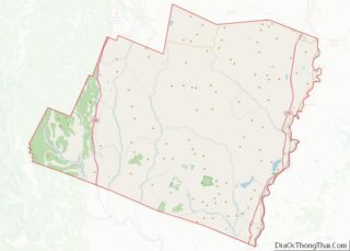
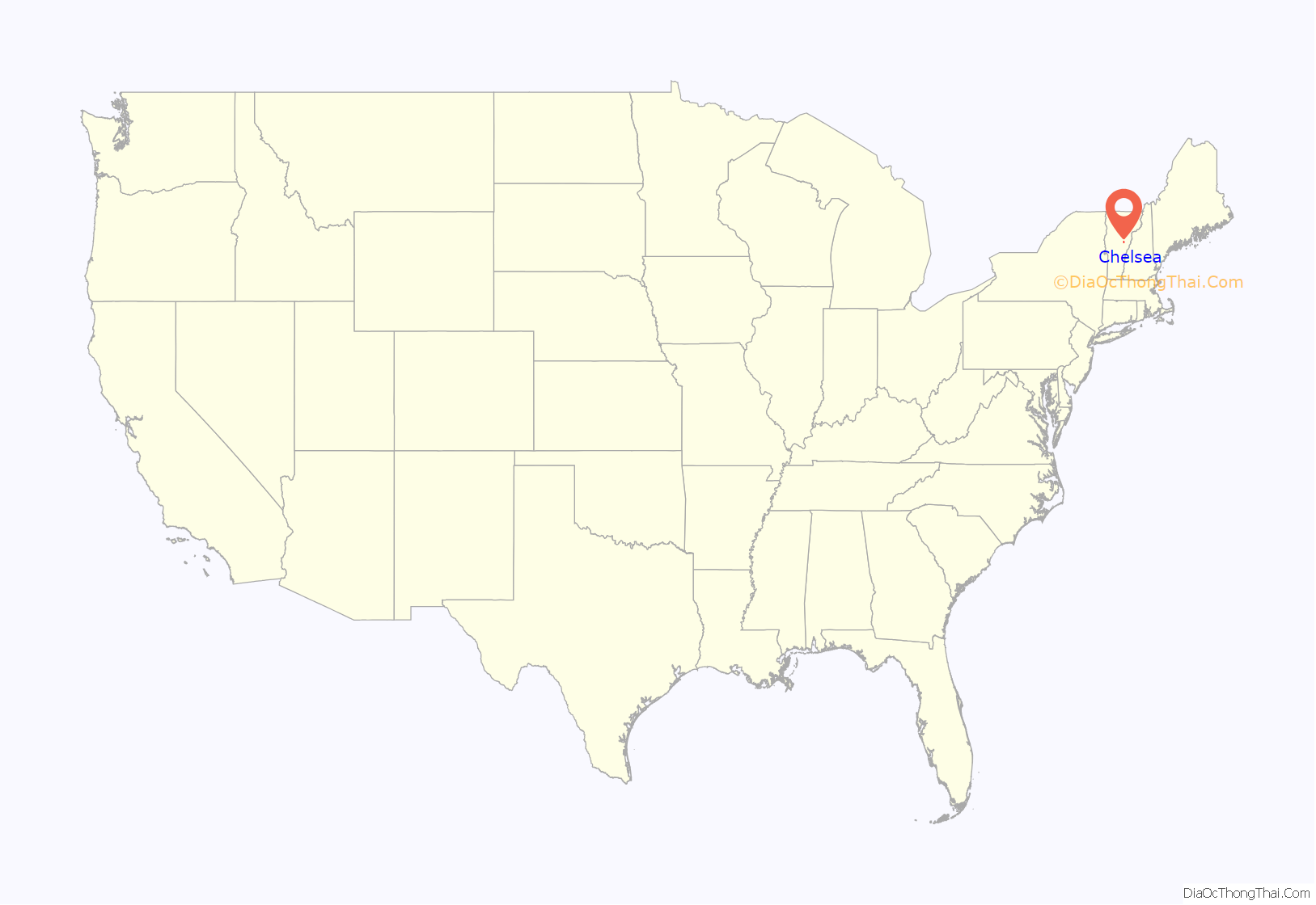
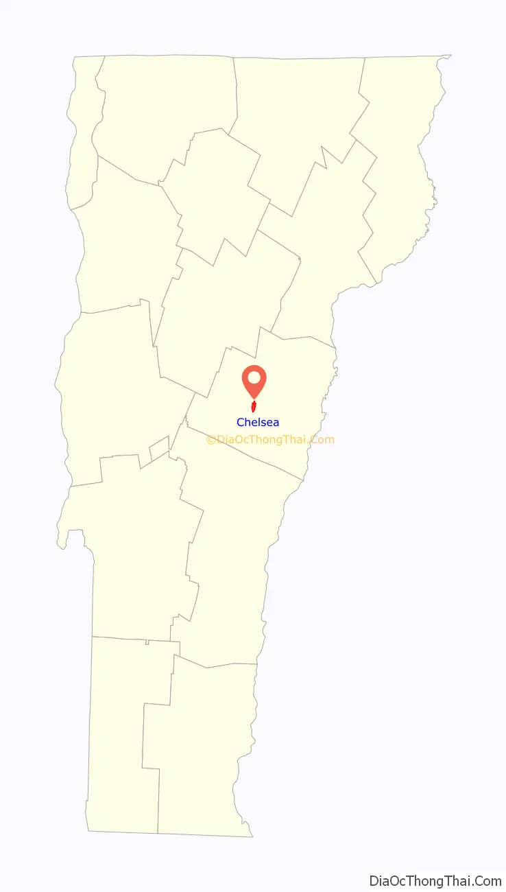
Chelsea location map. Where is Chelsea CDP?
History
The town was founded on August 4, 1781. It was originally called Turnersburgh after settler Bela Turner. In 1788 the townspeople of Turnersburgh approved a bill to rename the town Chelsea.
The first small schoolhouses were established in the early 1800s. By 1845 there were 18 schools operating around the town. In 1852 the Chelsea Academy was built in the village district. The Chelsea Academy burnt in 1870. In 1913 the “new” Chelsea High School building was built, this building still houses the Chelsea Public School today.
Historic sites
In 1983 the historic village center of Chelsea was placed on the National Register of Historic Places as the Chelsea Village Historic District. Chelsea also has two standalone structures listed on the National Register: the Congregational Church of Chelsea and the Moxley Covered Bridge.
Figure, the original Morgan horse, is buried in Chelsea.
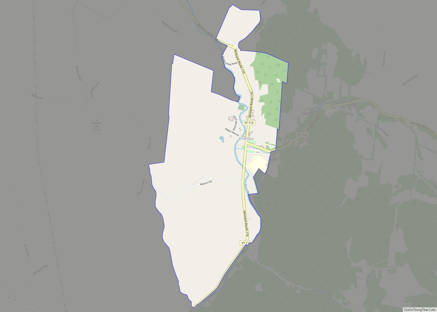
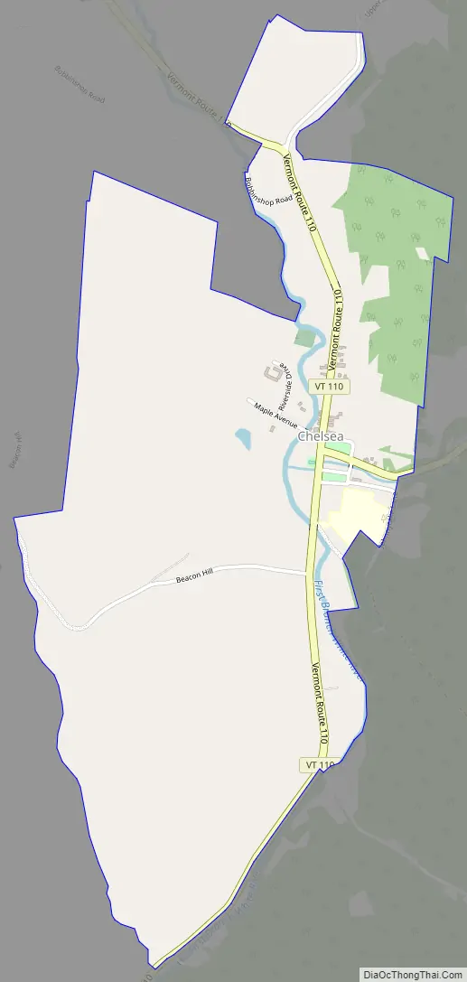
Chelsea Road Map
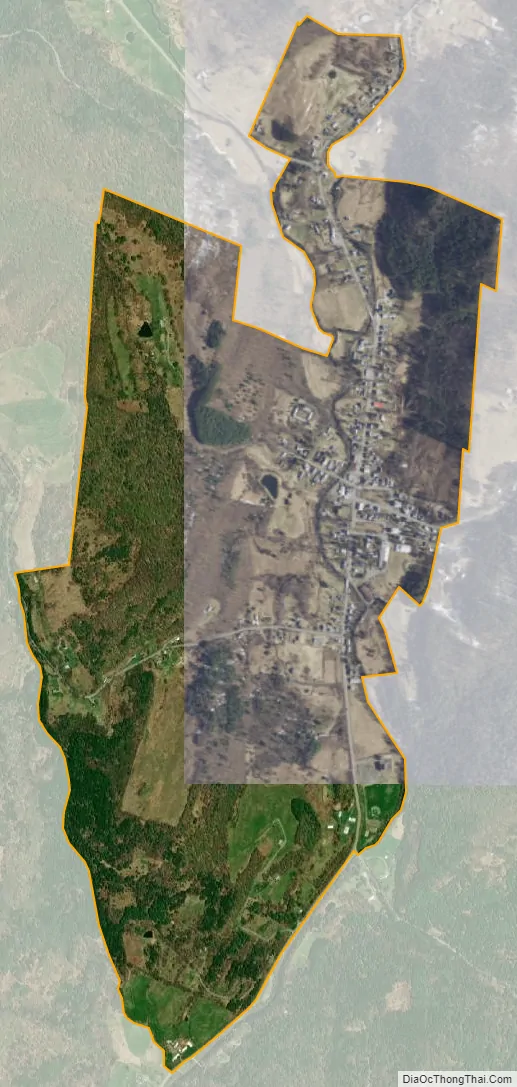
Chelsea city Satellite Map
Geography
Chelsea is located in a river valley in central Vermont. The First Branch of the White River travels through the valley and the town. Located in the center of town, in the village of Chelsea, are two commons.
According to the United States Census Bureau, the town has a total area of 39.9 square miles (103.4 km), of which 39.9 square miles (103.4 km) is land and 0.04 square mile (0.1 km) (0.05%) is water.
See also
Map of Vermont State and its subdivision: Map of other states:- Alabama
- Alaska
- Arizona
- Arkansas
- California
- Colorado
- Connecticut
- Delaware
- District of Columbia
- Florida
- Georgia
- Hawaii
- Idaho
- Illinois
- Indiana
- Iowa
- Kansas
- Kentucky
- Louisiana
- Maine
- Maryland
- Massachusetts
- Michigan
- Minnesota
- Mississippi
- Missouri
- Montana
- Nebraska
- Nevada
- New Hampshire
- New Jersey
- New Mexico
- New York
- North Carolina
- North Dakota
- Ohio
- Oklahoma
- Oregon
- Pennsylvania
- Rhode Island
- South Carolina
- South Dakota
- Tennessee
- Texas
- Utah
- Vermont
- Virginia
- Washington
- West Virginia
- Wisconsin
- Wyoming