Murphy is a census-designated place in, and the county seat of, Owyhee County, Idaho, United States. It is among the smallest of county seats nationwide, with a population as of the 2020 census of 96. Murphy is part of the Boise City–Nampa, Idaho Metropolitan Statistical Area. Murphy is also located within the census-designated place bearing its name. Murphy is home to the Owyhee County Historical Museum and Library.
| Name: | Murphy CDP |
|---|---|
| LSAD Code: | 57 |
| LSAD Description: | CDP (suffix) |
| State: | Idaho |
| County: | Owyhee County |
| Elevation: | 2,820 ft (860 m) |
| Total Area: | 3.839 sq mi (9.94 km²) |
| Land Area: | 3.839 sq mi (9.94 km²) |
| Water Area: | 0 sq mi (0 km²) |
| Total Population: | 96 |
| Population Density: | 25/sq mi (9.7/km²) |
| ZIP code: | 83650 |
| Area code: | 208, 986 |
| FIPS code: | 1655720 |
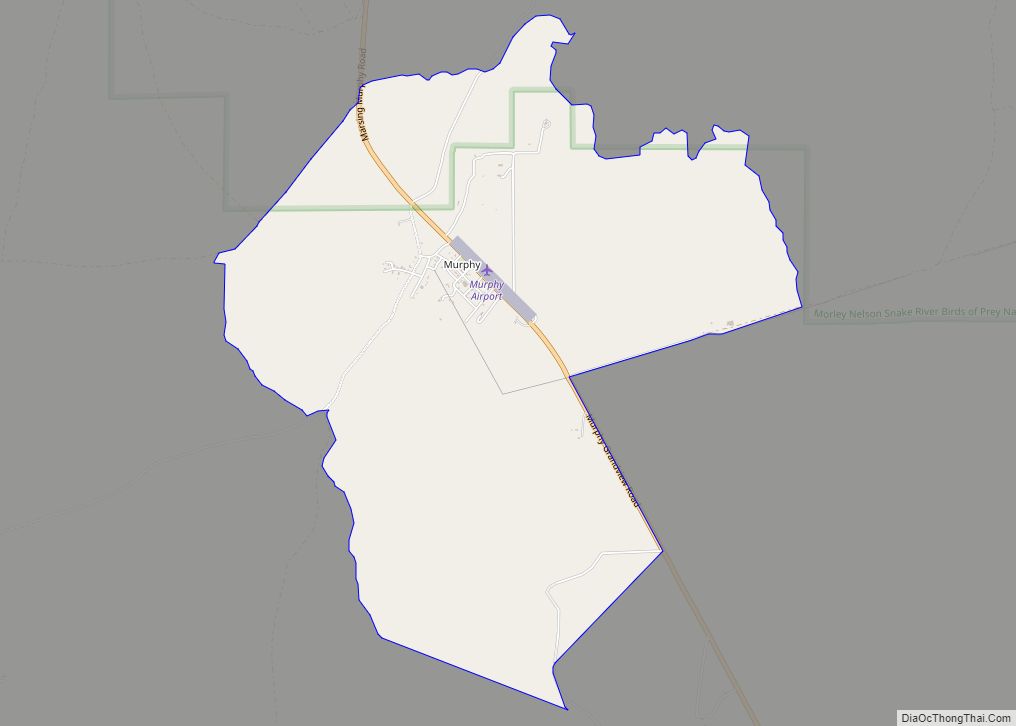
Online Interactive Map
Click on ![]() to view map in "full screen" mode.
to view map in "full screen" mode.
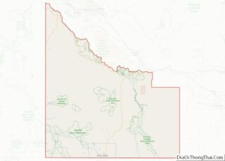
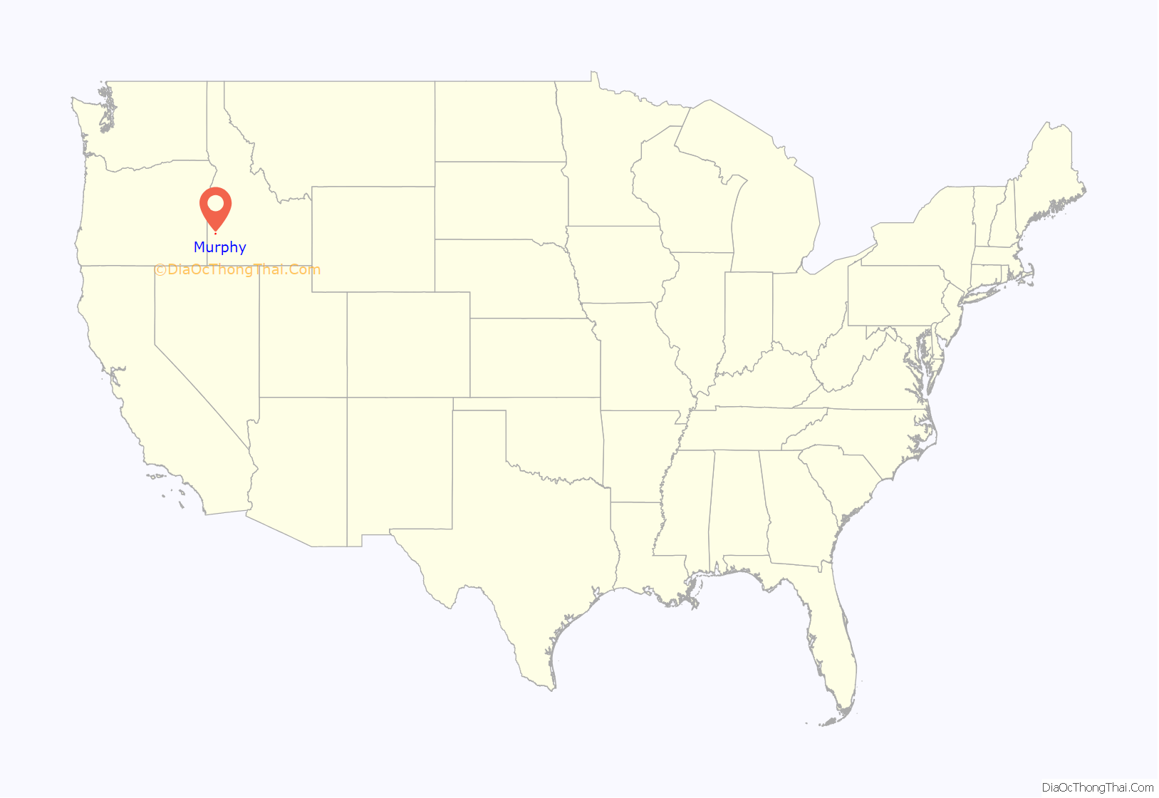
Murphy location map. Where is Murphy CDP?

History
Murphy developed around a railhead of the Boise, Nampa and Owyhee Railroad, built in 1899 by Colonel William H. Dewey. Dewey had planned to extend the railroad to Silver City, but when mining operations in the Owyhee Mountains became unproductive, the line was not continued past Murphy. The railroad operated until 1947.
By a narrow margin, Owyhee County voters selected Murphy as county seat in 1934, succeeding Silver City (which was located in the Owyhee Mountains and had been in decline; it is now defunct). Although the county seat was moved to Murphy after the vote, and a new Owyhee County Courthouse was constructed in 1936, the Idaho State Legislature did not ratify the change of county seat until 1999. The error in the Idaho Code, discovered by county prosecutor G. Edward Yarbrough, was finally corrected by Senate Bill 1009.
The community likely was named after Cornelius “Con” Murphy, a crew boss with the Boise, Nampa and Owyhee Railroad and foreman during construction of the Guffey Bridge in 1897. Another source for the name may have been Pat Murphy, a Silver City mining engineer and friend of railroad owner Dewey.
Murphy’s population was estimated at 100 in 1909, and was 50 in 1960.
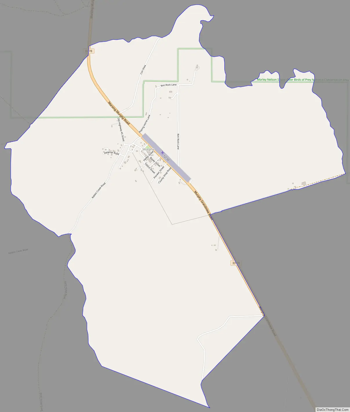
Murphy Road Map
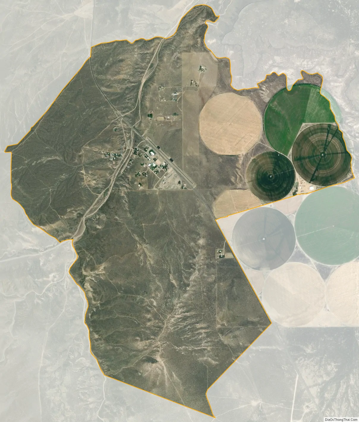
Murphy city Satellite Map
Geography
Murphy is located at 43°13′06″N 116°33′08″W / 43.21833°N 116.55222°W / 43.21833; -116.55222, at an elevation of 2,820 feet (860 m) above sea level; it is 25 miles (40 km) south of Nampa.
Climate
According to the Köppen climate classification, Murphy has a cold semi arid climate (BSk).
See also
Map of Idaho State and its subdivision:- Ada
- Adams
- Bannock
- Bear Lake
- Benewah
- Bingham
- Blaine
- Boise
- Bonner
- Bonneville
- Boundary
- Butte
- Camas
- Canyon
- Caribou
- Cassia
- Clark
- Clearwater
- Custer
- Elmore
- Franklin
- Fremont
- Gem
- Gooding
- Idaho
- Jefferson
- Jerome
- Kootenai
- Latah
- Lemhi
- Lewis
- Lincoln
- Madison
- Minidoka
- Nez Perce
- Oneida
- Owyhee
- Payette
- Power
- Shoshone
- Teton
- Twin Falls
- Valley
- Washington
- Alabama
- Alaska
- Arizona
- Arkansas
- California
- Colorado
- Connecticut
- Delaware
- District of Columbia
- Florida
- Georgia
- Hawaii
- Idaho
- Illinois
- Indiana
- Iowa
- Kansas
- Kentucky
- Louisiana
- Maine
- Maryland
- Massachusetts
- Michigan
- Minnesota
- Mississippi
- Missouri
- Montana
- Nebraska
- Nevada
- New Hampshire
- New Jersey
- New Mexico
- New York
- North Carolina
- North Dakota
- Ohio
- Oklahoma
- Oregon
- Pennsylvania
- Rhode Island
- South Carolina
- South Dakota
- Tennessee
- Texas
- Utah
- Vermont
- Virginia
- Washington
- West Virginia
- Wisconsin
- Wyoming