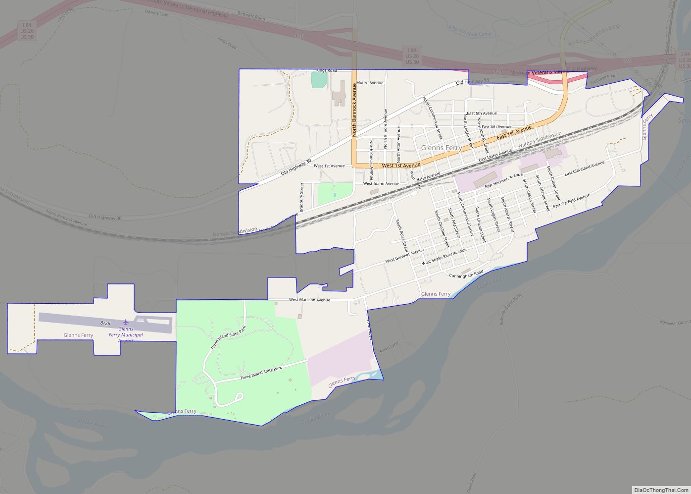
Glenns Ferry is a city in Elmore County, Idaho, United States. The population was 1,319 at the 2010 census. The city is adjacent to Interstate 84 and the Snake River.
| Name: | Glenns Ferry city |
|---|---|
| LSAD Code: | 25 |
| LSAD Description: | city (suffix) |
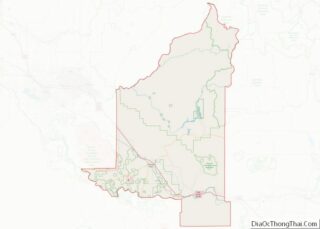
| State: | Idaho |
| County: | Elmore County |
| Elevation: | 2,569 ft (783 m) |
| Total Area: | 1.98 sq mi (5.14 km²) |
| Land Area: | 1.96 sq mi (5.07 km²) |
| Water Area: | 0.03 sq mi (0.07 km²) |
| Total Population: | 1,319 |
| Population Density: | 665.82/sq mi (257.01/km²) |
| ZIP code: | 83623, 83633 |
| Area code: | 208 |
| FIPS code: | 1631690 |
| GNISfeature ID: | 0372857 |
| Website: | glennsferryidaho.org |
Online Interactive Map
Click on ![]() to view map in "full screen" mode.
to view map in "full screen" mode.
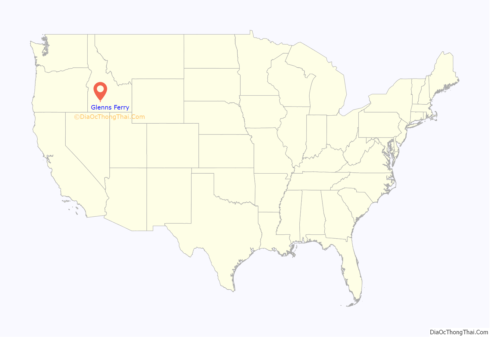
Glenns Ferry location map. Where is Glenns Ferry city?

History
Glenns Ferry was one of the most famous and treacherous river crossings on the Oregon Trail. Pioneers forded the Snake River at the Three Island Crossing until 1869, when Gustavus “Gus” Glenn constructed a ferry about two miles upstream, primarily to expedite freight but also for emigrants. His boat, which could hold two wagons, cut nearly twenty miles from the former route. In 1871 the city of Glenns Ferry was established. Construction of the Oregon Short Line Railroad through the town in 1883 gave the city its first major employer.
Opened in 1971, Three Island Crossing State Park is home to The Oregon Trail History and Education Center, where visitors can learn about pioneer emigrants and Native American history. The Glenns Ferry community sponsors a crossing commemoration the second Saturday of each August.
The Glenns Ferry townsite was platted 152 years ago in 1871, just downstream from the ferry site. It is one of just two incorporated cities in Elmore County, along with Mountain Home.
Glenns Ferry Road Map

Glenns Ferry city Satellite Map

Geography
Glenns Ferry is located at 42°57′7″N 115°18′4″W / 42.95194°N 115.30111°W / 42.95194; -115.30111 (42.951954, -115.301132), at an elevation of 2,569 feet (783 m) above sea level.
According to the United States Census Bureau, the city has a total area of 1.94 square miles (5.02 km), of which, 1.92 square miles (4.97 km) is land and 0.02 square miles (0.05 km) is water.
See also
Map of Idaho State and its subdivision:- Ada
- Adams
- Bannock
- Bear Lake
- Benewah
- Bingham
- Blaine
- Boise
- Bonner
- Bonneville
- Boundary
- Butte
- Camas
- Canyon
- Caribou
- Cassia
- Clark
- Clearwater
- Custer
- Elmore
- Franklin
- Fremont
- Gem
- Gooding
- Idaho
- Jefferson
- Jerome
- Kootenai
- Latah
- Lemhi
- Lewis
- Lincoln
- Madison
- Minidoka
- Nez Perce
- Oneida
- Owyhee
- Payette
- Power
- Shoshone
- Teton
- Twin Falls
- Valley
- Washington
- Alabama
- Alaska
- Arizona
- Arkansas
- California
- Colorado
- Connecticut
- Delaware
- District of Columbia
- Florida
- Georgia
- Hawaii
- Idaho
- Illinois
- Indiana
- Iowa
- Kansas
- Kentucky
- Louisiana
- Maine
- Maryland
- Massachusetts
- Michigan
- Minnesota
- Mississippi
- Missouri
- Montana
- Nebraska
- Nevada
- New Hampshire
- New Jersey
- New Mexico
- New York
- North Carolina
- North Dakota
- Ohio
- Oklahoma
- Oregon
- Pennsylvania
- Rhode Island
- South Carolina
- South Dakota
- Tennessee
- Texas
- Utah
- Vermont
- Virginia
- Washington
- West Virginia
- Wisconsin
- Wyoming