| Name: | Passaic County |
|---|---|
| FIPS code: | 34-031 |
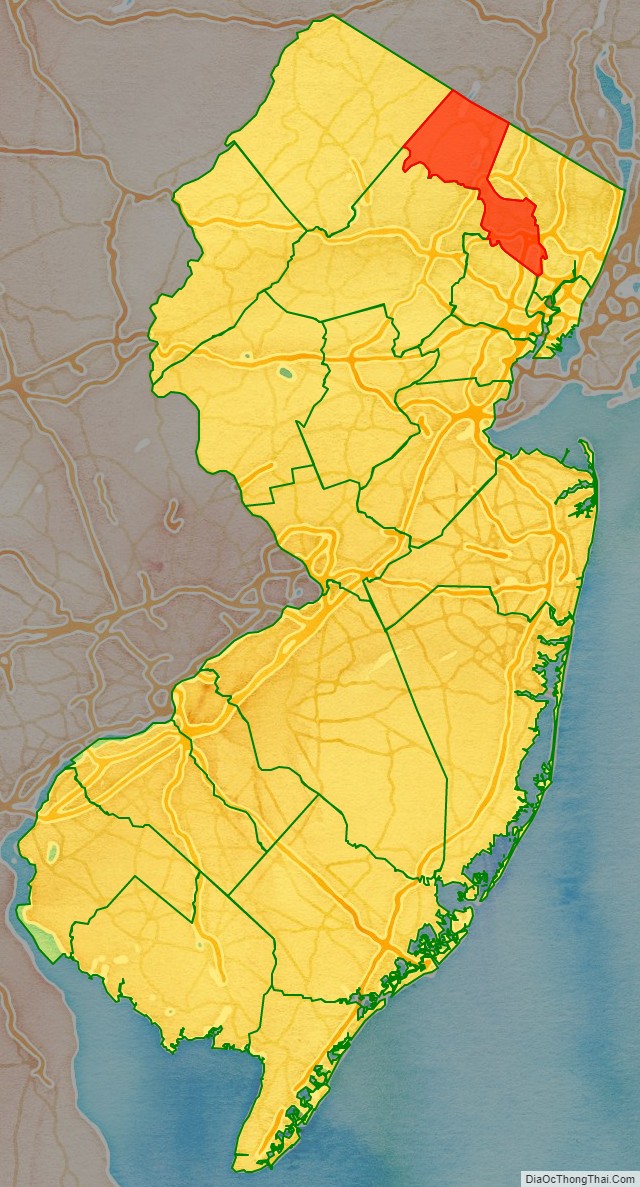
| State: | New Jersey |
| Founded: | February 7, 1837 |
| Named for: | “Pasaeck”, a Lenape word meaning “valley” |
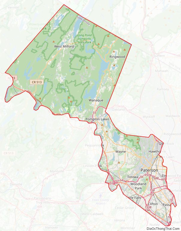
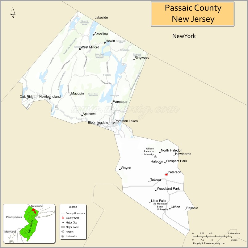
| Seat: | Paterson |
| Largest city: | Paterson (population) West Milford (area) |
| Total Area: | 197.10 sq mi (510.5 km²) |
| Land Area: | 186 sq mi (480 km²) |
| Total Population: | 524,118 |
| Population Density: | 2,839.4/sq mi (1,096.3/km²) |
| Website: | www.passaiccountynj.org |
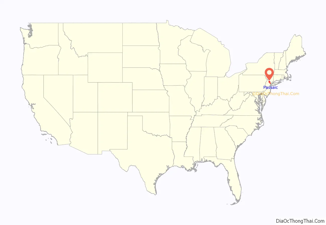
Passaic County location map. Where is Passaic County?
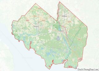
Passaic County Road Map
Geography
In recent years, average temperatures in the county seat of Paterson have ranged from a low of 19 °F (−7 °C) in January to a high of 86 °F (30 °C) in July, although a record low of −11 °F (−24 °C) was recorded in January 1961 and a record high of 105 °F (41 °C) was recorded in September 1953. Average monthly precipitation ranged from 2.86 inches (73 mm) in February to 4.78 inches (121 mm) in September. The county has a humid continental climate which is hot-summer (Dfa) except in higher areas to the north where it is warm-summer (Dfb).
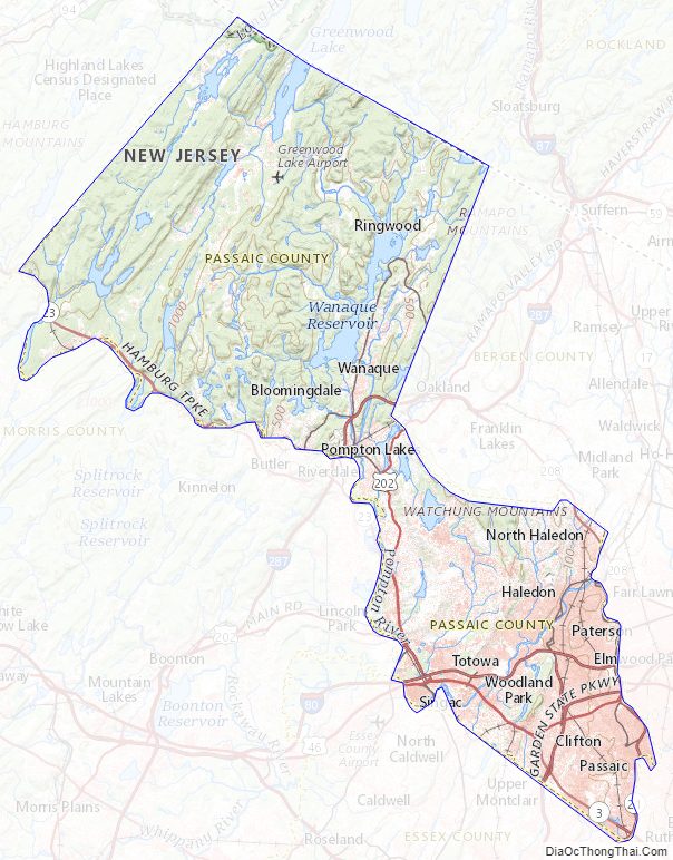
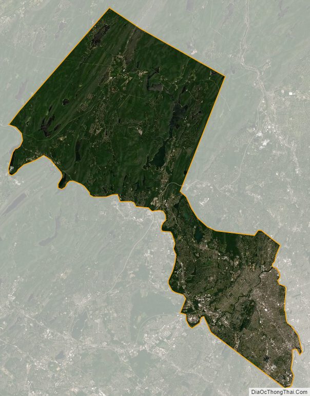
The landscape of Passaic County, near the north edge of New Jersey, spans some hilly areas and has dozens of lakes. The county covers a region about 30 × 20 miles wide (48 × 32 km). The region is split by major roads, including portions of Interstate 287 and Interstate 80, near Paterson. The Garden State Parkway cuts across the southern end, near Clifton. The Passaic River winds northeast past Totowa into Paterson, where the river then turns south to Passaic, on the way to Newark, further south.
The highest point is any one of six areas on Bearfort Ridge in West Milford at approximately 1,480 feet (450 m) above sea level. The lowest elevation is approximately 20 feet (6.1 m) along the Passaic River in Clifton. The southeastern, more populous half of the county is either flat near the river or mildly hilly. The northwestern section is rugged and mountainous.
According to the 2010 Census, the county had a total area of 197.10 square miles (510.5 km), including 184.59 square miles (478.1 km) of land (93.7%) and 12.51 square miles (32.4 km) of water (6.35%).
Passaic County Topographic Map
Passaic County Satellite Map
Passaic County Outline Map