Totowa (pronounced “TO-tuh-wuh” /ˈtoʊtəwə/) is a borough in Passaic County, in the U.S. state of New Jersey. As of the 2020 United States census, the borough’s population was 11,065, an increase of 261 (+2.4%) from the 2010 census count of 10,804, which in turn reflected an increase of 912 (+9.2%) from the 9,892 counted in the 2000 census.
Totowa was formed as a borough by an act of the New Jersey Legislature on March 15, 1898, from portions of Wayne Township and the now-defunct Manchester Township.
| Name: | Totowa borough |
|---|---|
| LSAD Code: | 21 |
| LSAD Description: | borough (suffix) |
| State: | New Jersey |
| County: | Passaic County |
| Incorporated: | March 15, 1898 |
| Elevation: | 262 ft (80 m) |
| Total Area: | 4.08 sq mi (10.56 km²) |
| Land Area: | 4.00 sq mi (10.36 km²) |
| Water Area: | 0.08 sq mi (0.20 km²) 1.86% |
| Total Population: | 11,065 |
| Population Density: | 2,766.3/sq mi (1,068.1/km²) |
| Area code: | 973 |
| FIPS code: | 3473140 |
| GNISfeature ID: | 0885420 |
| Website: | www.totowanj.org |
Online Interactive Map
Click on ![]() to view map in "full screen" mode.
to view map in "full screen" mode.
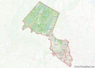
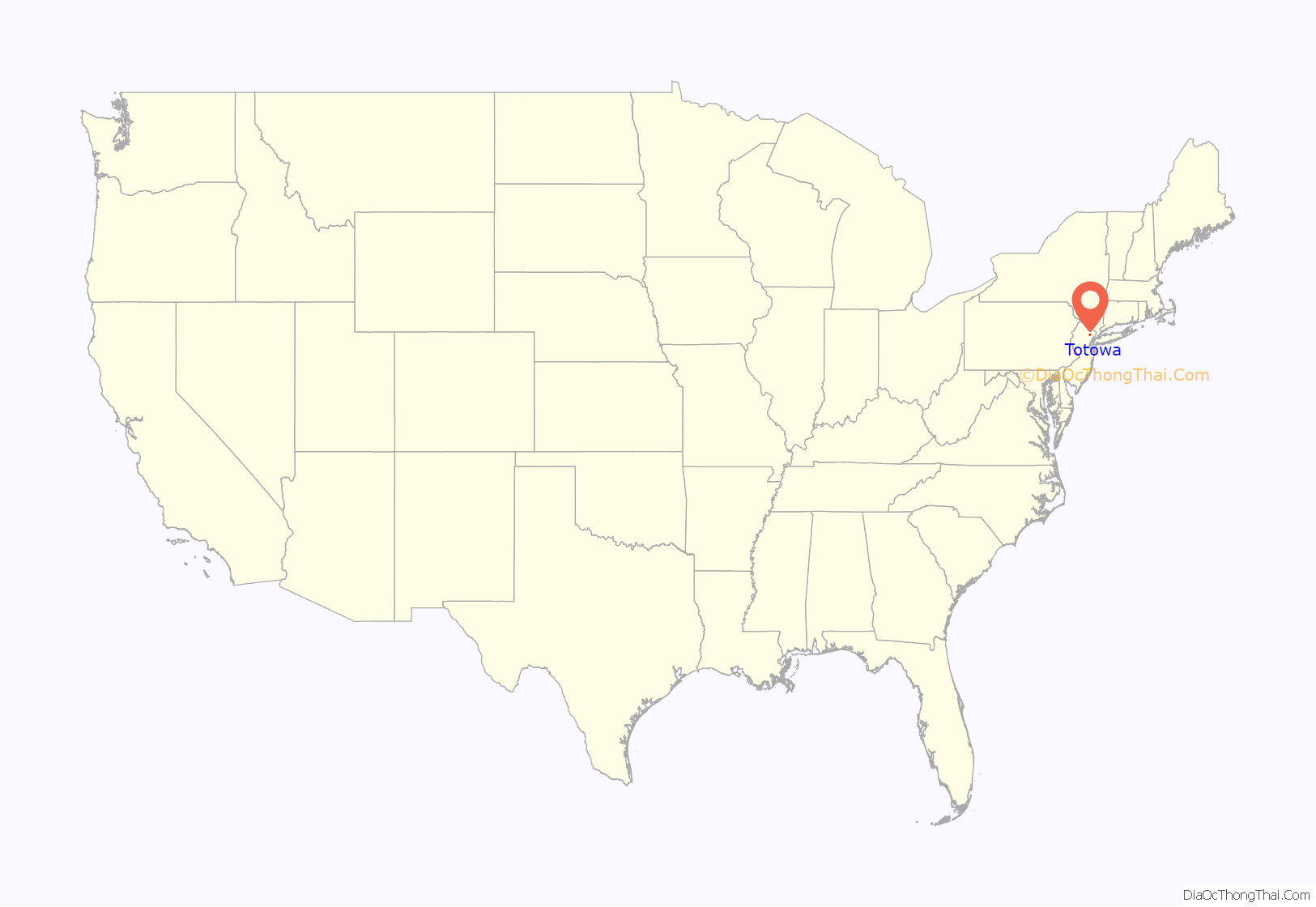
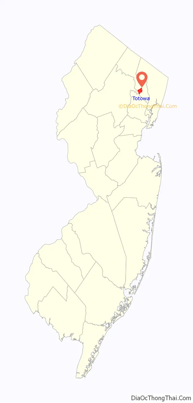
Totowa location map. Where is Totowa borough?
History
In 1696, George Willocks, a Scottish land speculator, purchased a tract of land known as Willock’s Patent, which included most of modern-day Totowa, Woodland Park (formerly West Paterson) and Little Falls. Located in the western part of Manchester Township, Willock’s Patent was resold to Anthony Brockholls and the Van Houten family. The land was retitled the “Totowa Patent”, and divided into three parcels, and more land was acquired through the “Garret Mountain Purchase”.
In 1895, residents of the southern section of Manchester Township began to become disenchanted with governing officials, and following the election of 1896, many independent municipalities were formed. The formation of the Borough of Totowa was discussed at the Willard Park Hotel on Totowa Avenue, and headed by brothers Joseph and Robert Boyle. On March 15, 1898, the Borough of Totowa was officially incorporated under Chapter 56 of the Laws of New Jersey, signed by Governor John Griggs. On April 12, 1898, the first election of the Borough of Totowa was held at the Willard Park Hotel, which would become the unofficial town hall until the municipal building was completed in 1910.
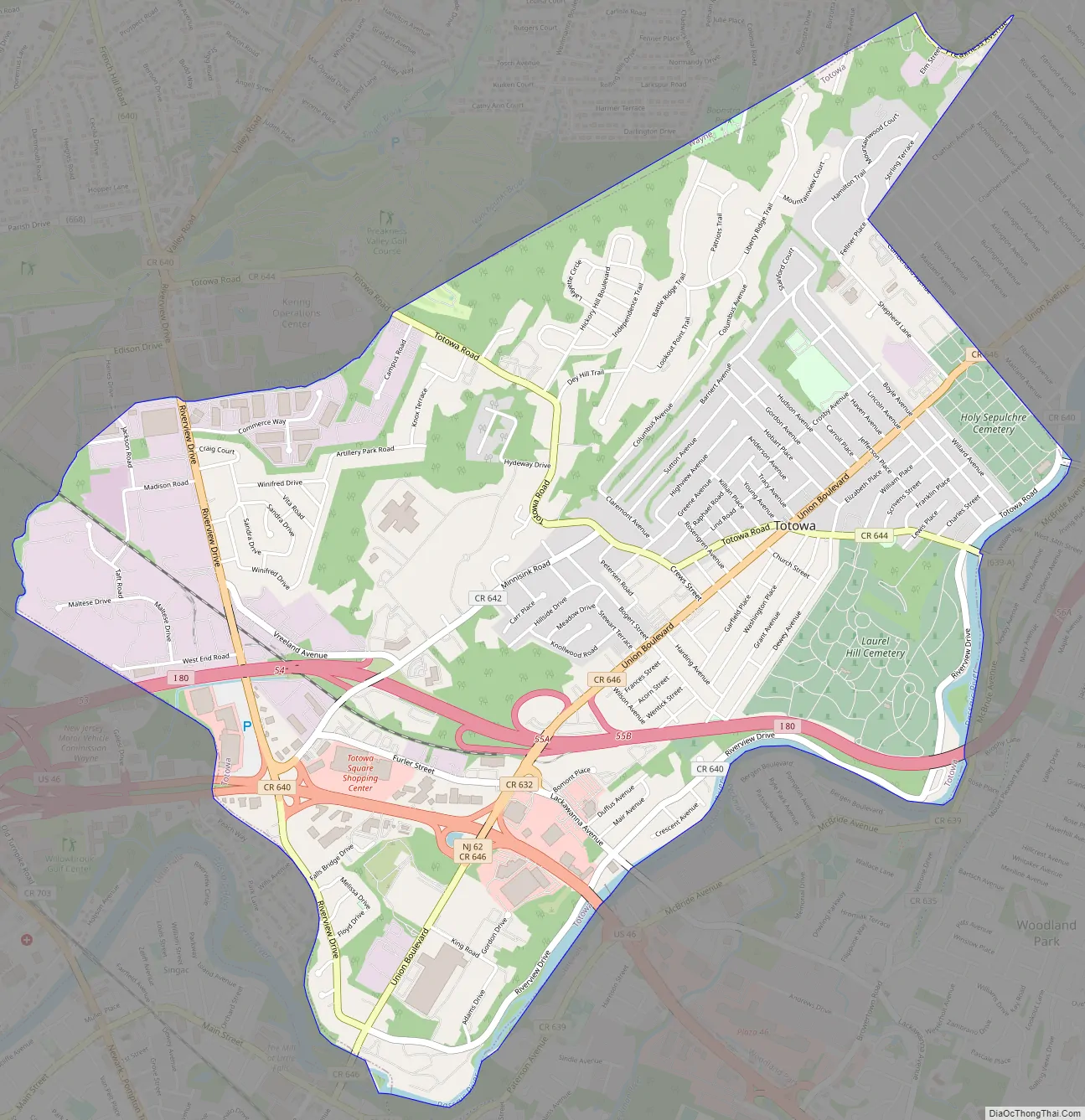
Totowa Road Map
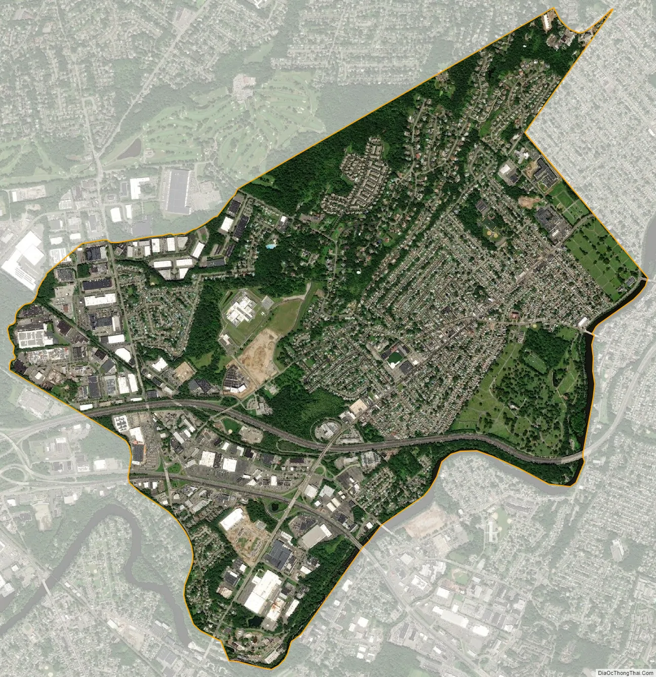
Totowa city Satellite Map
Geography
According to the United States Census Bureau, the borough had a total area of 4.08 square miles (10.6 km), including 4.00 square miles (10.4 km) of land and 0.08 square miles (0.21 km) of water (1.86%).
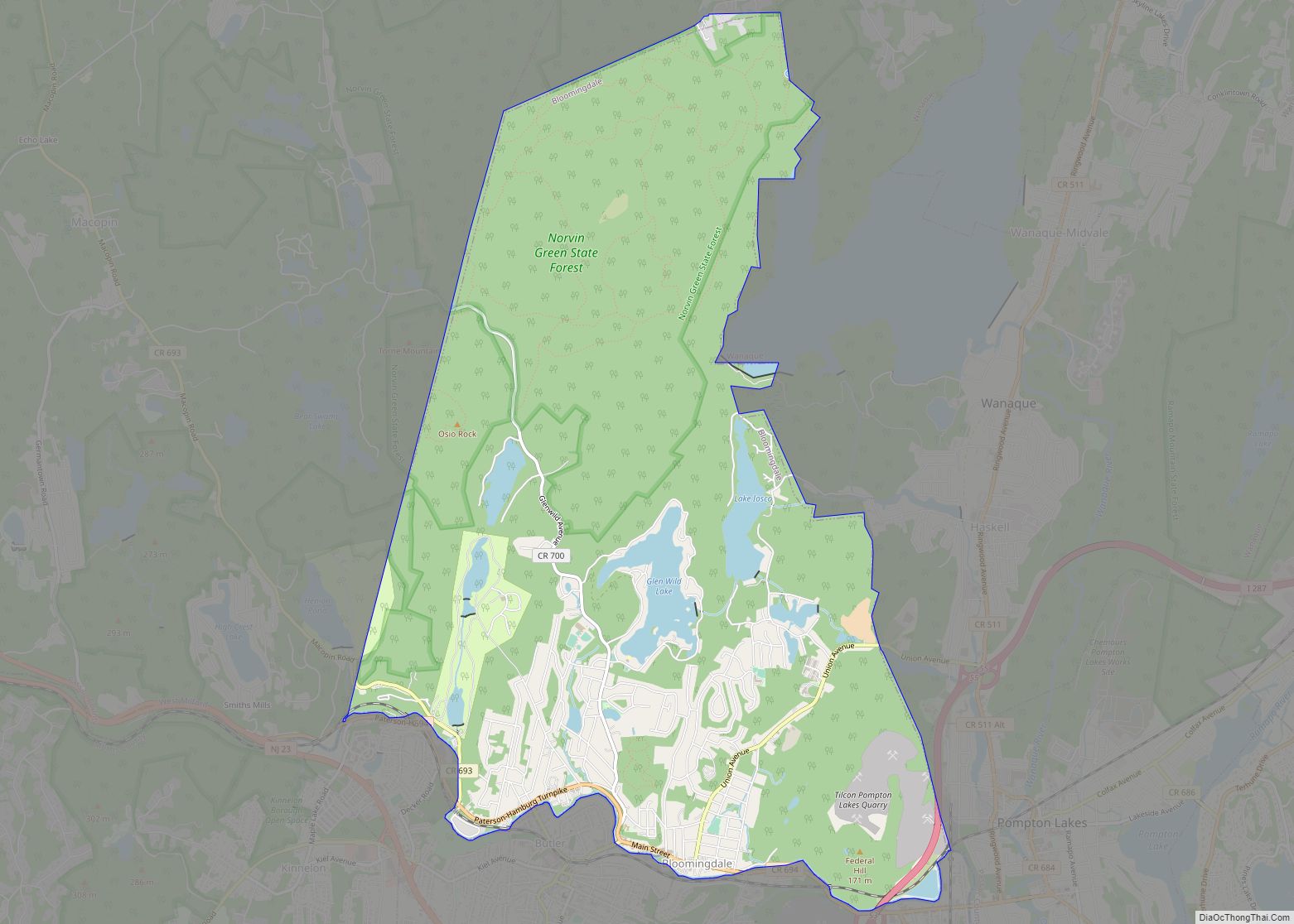
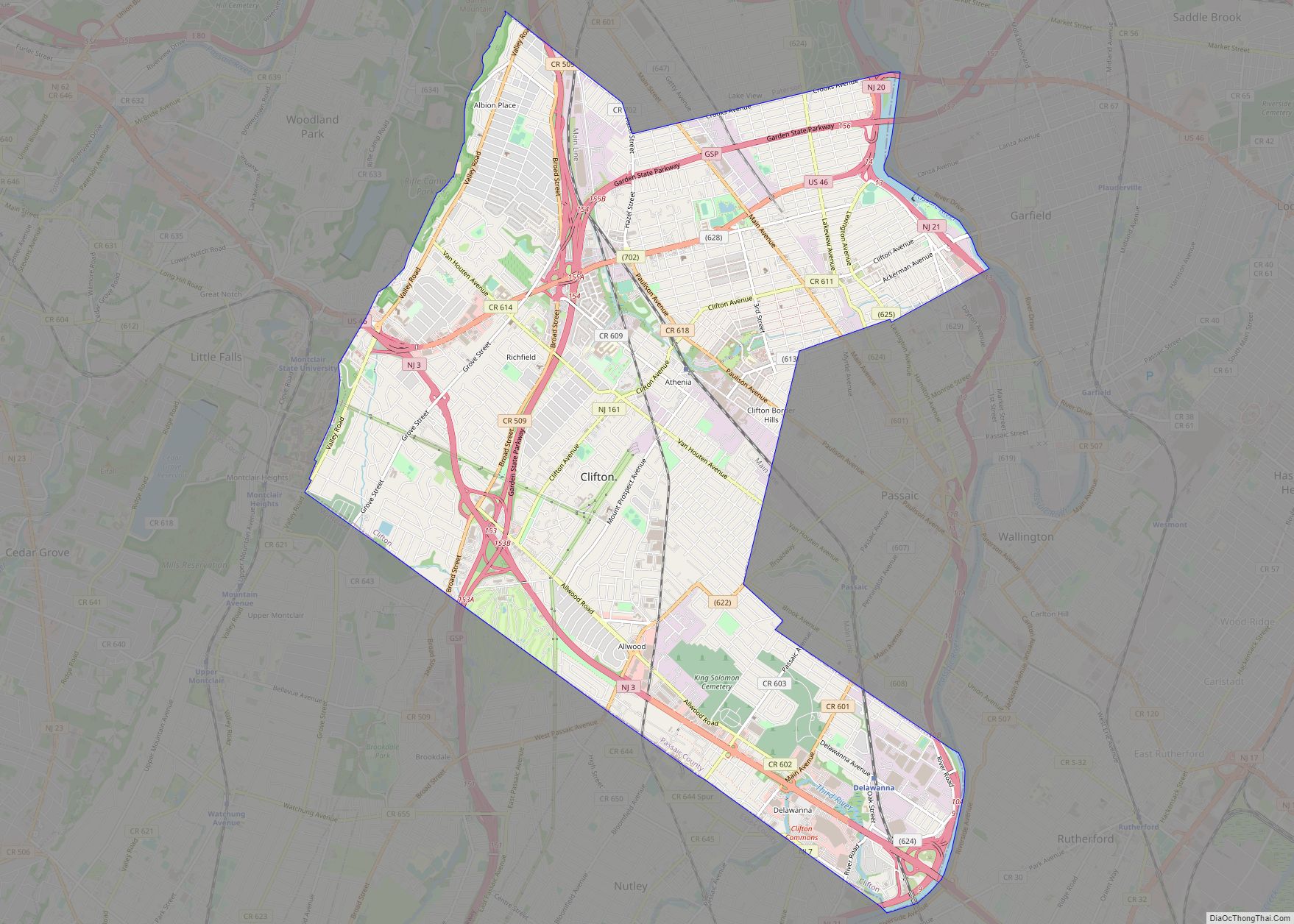
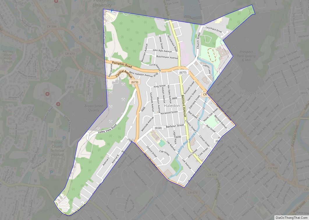
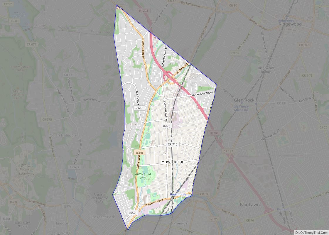
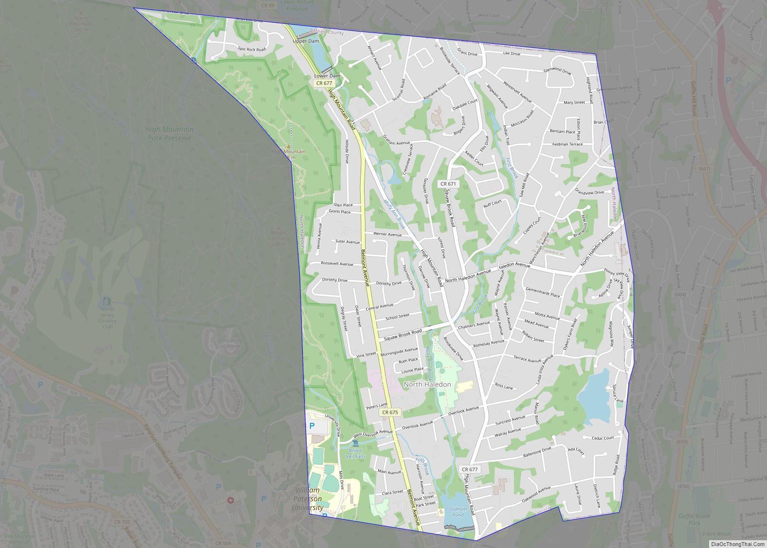
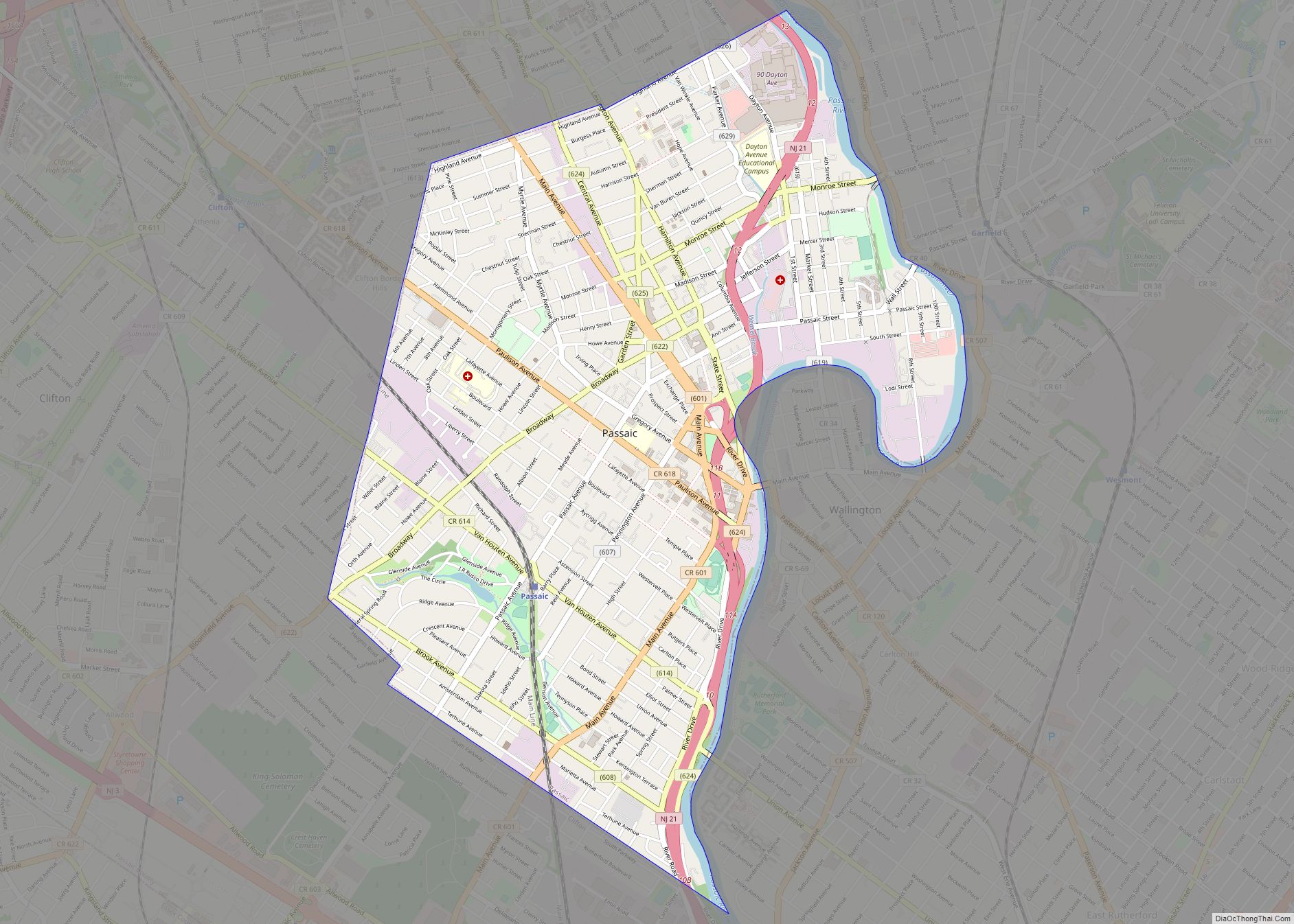
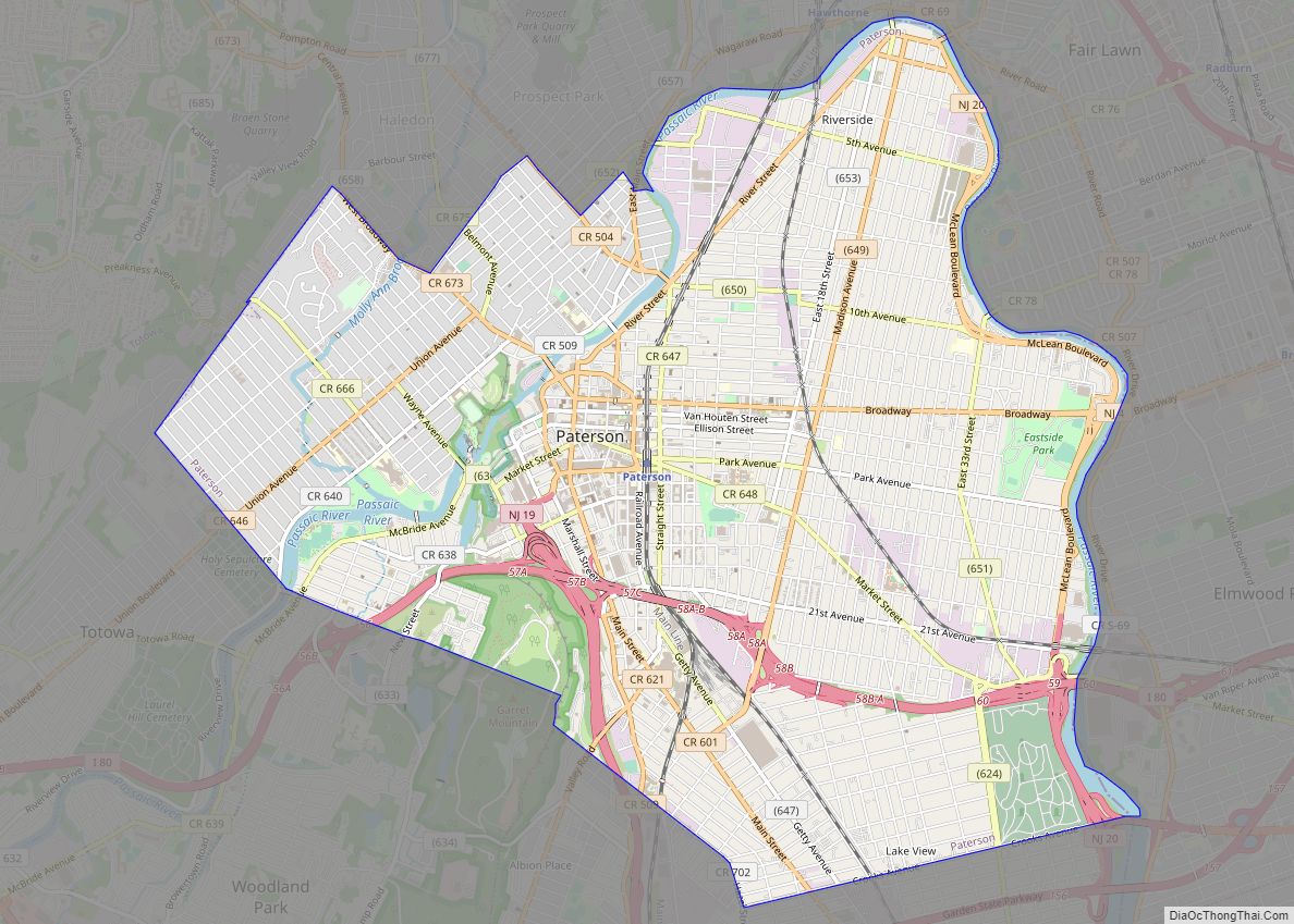
The borough borders the Passaic County communities of Haledon, Little Falls, Paterson, Wayne and Woodland Park.
See also
Map of New Jersey State and its subdivision: Map of other states:- Alabama
- Alaska
- Arizona
- Arkansas
- California
- Colorado
- Connecticut
- Delaware
- District of Columbia
- Florida
- Georgia
- Hawaii
- Idaho
- Illinois
- Indiana
- Iowa
- Kansas
- Kentucky
- Louisiana
- Maine
- Maryland
- Massachusetts
- Michigan
- Minnesota
- Mississippi
- Missouri
- Montana
- Nebraska
- Nevada
- New Hampshire
- New Jersey
- New Mexico
- New York
- North Carolina
- North Dakota
- Ohio
- Oklahoma
- Oregon
- Pennsylvania
- Rhode Island
- South Carolina
- South Dakota
- Tennessee
- Texas
- Utah
- Vermont
- Virginia
- Washington
- West Virginia
- Wisconsin
- Wyoming