Pepin County is a county in the U.S. state of Wisconsin. As of the 2020 census, the population was 7,318, making it the fourth-least populous county in Wisconsin. Its county seat is Durand. Pepin County is the birthplace of Laura Ingalls Wilder, the author of the Little House on the Prairie children’s books.
| Name: | Pepin County |
|---|---|
| FIPS code: | 55-091 |
| State: | Wisconsin |
| Founded: | February 25, 1858 |
| Named for: | Lake Pepin |
| Seat: | Durand |
| Largest city: | Durand |
| Total Area: | 249 sq mi (640 km²) |
| Land Area: | 232 sq mi (600 km²) |
| Total Population: | 7,318 |
| Population Density: | 31.5/sq mi (12.2/km²) |
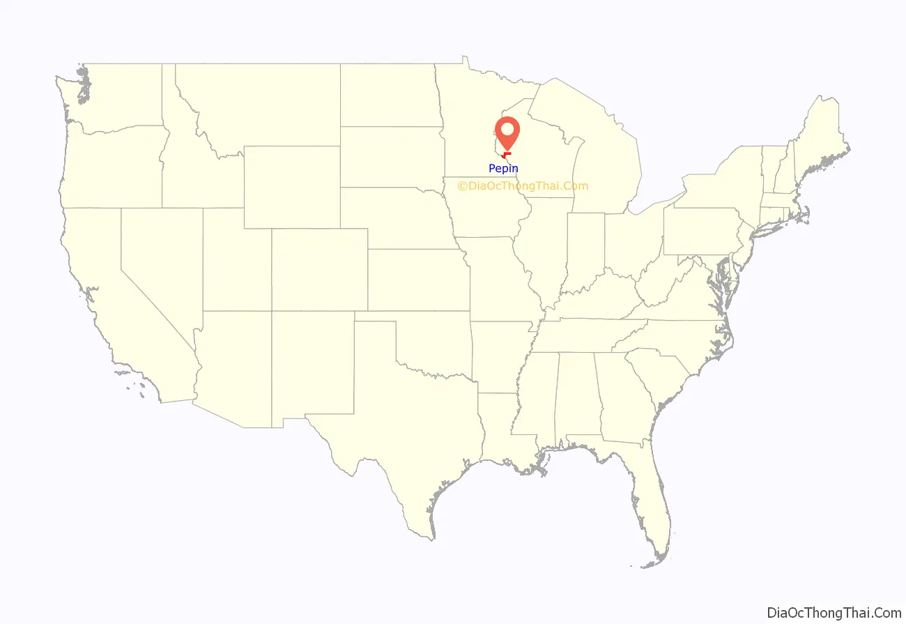
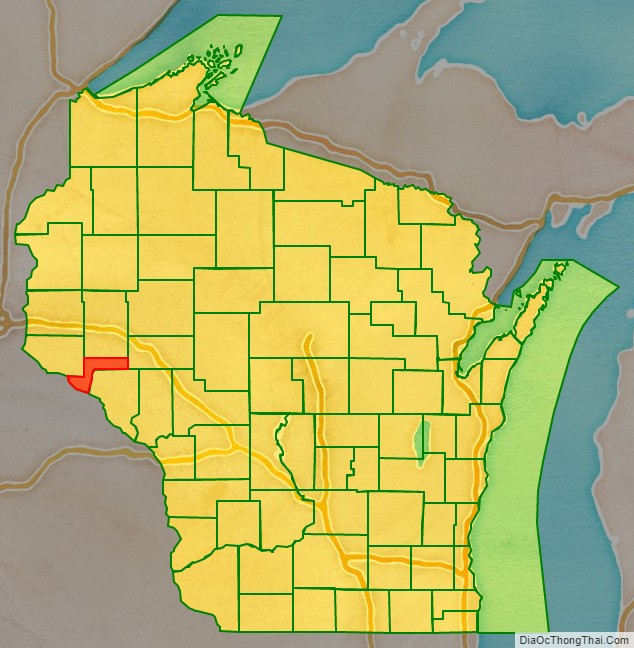
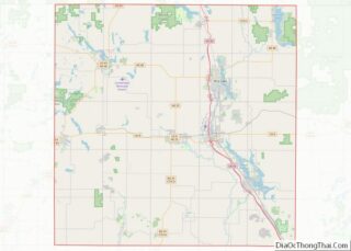
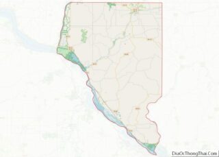
Pepin County location map. Where is Pepin County?
History
Pepin County was formed in the year 1858 from portions of neighboring Dunn County. Both the town of Pepin (originally named North Pepin in 1856), and the village of Pepin were named after Lake Pepin, a broadening of the Mississippi River between Pepin County and the Counties of Goodhue and Wabasha in the state of Minnesota. The lake itself is likely named for one or more of the Pepin families from the French Canadian city of Trois-Rivières in Quebec, Canada. Several Pepins appear in the early records, including the senior figure Guillaume dit Tranchemontagne and his descendants Pierre and Jean Pepin du Chardonnets. One or both of the latter may have accompanied Daniel Greysolon, the Sieur du Lhut, from Montreal to what is now Duluth, Minnesota, in 1679. Exactly when the body of water was first named Pepin is not known, but the name has been used as early as 1700, making it by far one of the oldest recorded place names in Wisconsin. The name was well accepted by the mid-1760s when Jonathan Carver wrote in his journal, “Arrived at Lake Pepin called by some Lake St. Anthony.”
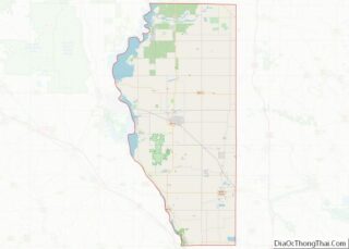
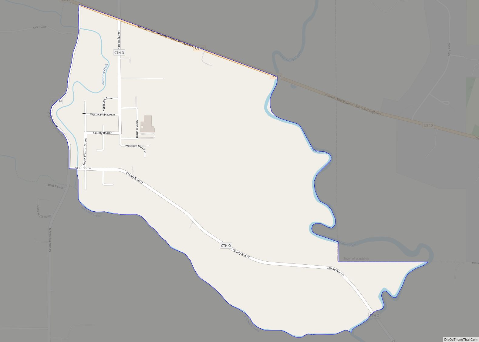
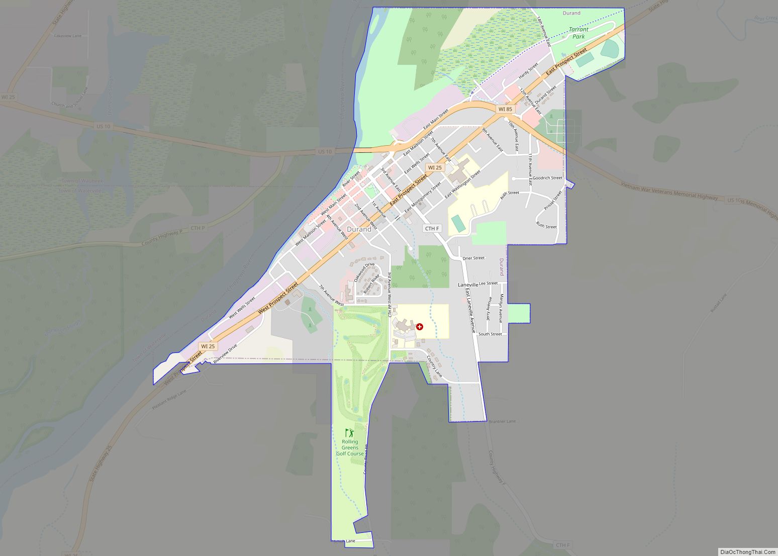
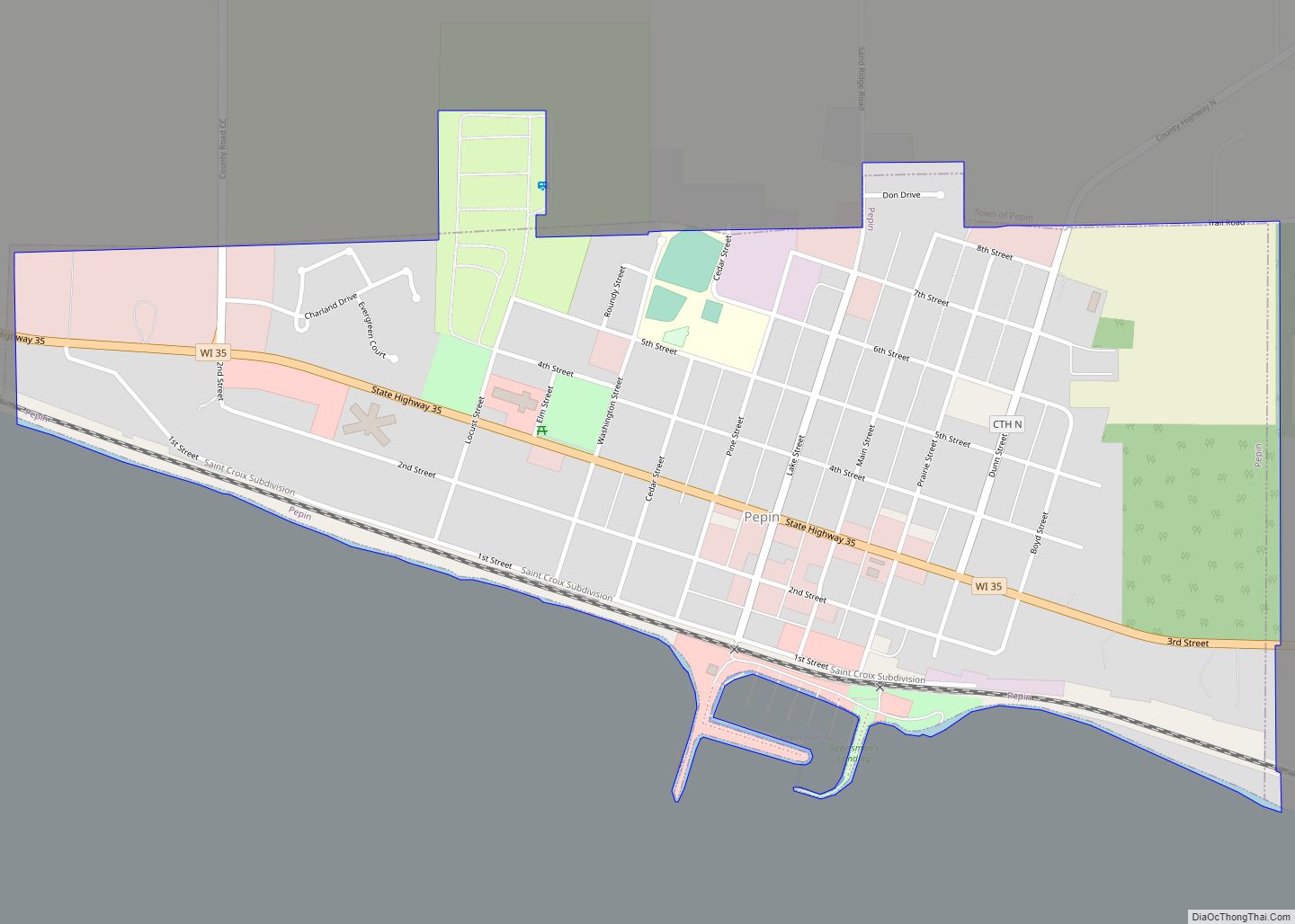
Pepin County Road Map
Geography
According to the U.S. Census Bureau, the county has a total area of 249 square miles (640 km), of which 232 square miles (600 km) is land and 17 square miles (44 km) (6.7%) is water. It is the smallest county in Wisconsin by land area.
Adjacent counties
- Pierce County – northwest
- Dunn County – north
- Eau Claire County – east
- Buffalo County – south
- Wabasha County, Minnesota – southwest
- Goodhue County, Minnesota – west
Major highways
- U.S. Highway 10
- Highway 25 (Wisconsin)
- Highway 35 (Wisconsin)
- Highway 85 (Wisconsin)
Railroads
- BNSF
Buses
- List of intercity bus stops in Wisconsin
