Lemmon is a town in Perkins County, South Dakota, United States. The population was 1,160 at the 2020 census.
Lemmon is named after George Ed Lemmon, a cattleman, who founded the town in 1906.
The City of Lemmon received the South Dakota Community of the Year Award in 2012.
| Name: | Lemmon city |
|---|---|
| LSAD Code: | 25 |
| LSAD Description: | city (suffix) |
| State: | South Dakota |
| County: | Perkins County |
| Incorporated: | 1908 |
| Elevation: | 2,569 ft (783 m) |
| Total Area: | 1.10 sq mi (2.84 km²) |
| Land Area: | 1.10 sq mi (2.84 km²) |
| Water Area: | 0.00 sq mi (0.00 km²) |
| Total Population: | 1,160 |
| Population Density: | 1,056.47/sq mi (408.08/km²) |
| ZIP code: | 57638 |
| Area code: | 605 |
| FIPS code: | 4636340 |
| GNISfeature ID: | 1256086 |
| Website: | lemmonsd.com |
Online Interactive Map
Click on ![]() to view map in "full screen" mode.
to view map in "full screen" mode.
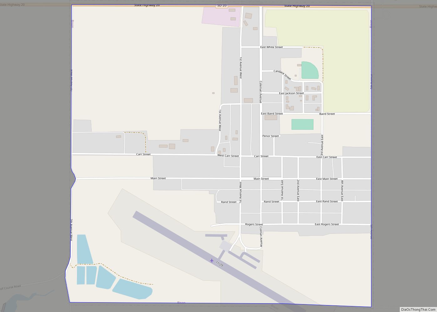
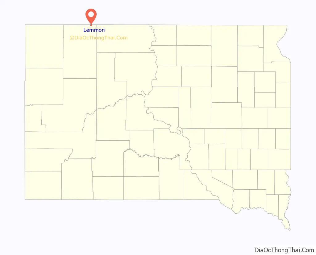
Lemmon location map. Where is Lemmon city?

History
Lemmon’s history as a town started in 1902 with the U.S. government’s forced leasing of about 800,000 acres of Standing Rock Indian Reservation lands to cattle rancher George Ed Lemmon.
In 1919, Lemmon became a sundown town, prohibiting African Americans from living there.
Lemmon Road Map

Lemmon city Satellite Map

Geography
Lemmon is located at 45°56′22″N 102°9′36″W / 45.93944°N 102.16000°W / 45.93944; -102.16000 (45.939375, -102.160128). According to the United States Census Bureau, the city has a total area of 1.04 square miles (2.69 km), all land.
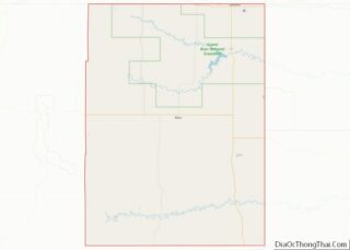
Lemmon’s north border is the Adams County, North Dakota, boundary. To the east of Lemmon is Corson County and Standing Rock Indian Reservation.
See also
Map of South Dakota State and its subdivision:- Aurora
- Beadle
- Bennett
- Bon Homme
- Brookings
- Brown
- Brule
- Buffalo
- Butte
- Campbell
- Charles Mix
- Clark
- Clay
- Codington
- Corson
- Custer
- Davison
- Day
- Deuel
- Dewey
- Douglas
- Edmunds
- Fall River
- Faulk
- Grant
- Gregory
- Haakon
- Hamlin
- Hand
- Hanson
- Harding
- Hughes
- Hutchinson
- Hyde
- Jackson
- Jerauld
- Jones
- Kingsbury
- Lake
- Lawrence
- Lincoln
- Lyman
- Marshall
- McCook
- McPherson
- Meade
- Mellette
- Miner
- Minnehaha
- Moody
- Pennington
- Perkins
- Potter
- Roberts
- Sanborn
- Shannon
- Spink
- Stanley
- Sully
- Todd
- Tripp
- Turner
- Union
- Walworth
- Yankton
- Ziebach
- Alabama
- Alaska
- Arizona
- Arkansas
- California
- Colorado
- Connecticut
- Delaware
- District of Columbia
- Florida
- Georgia
- Hawaii
- Idaho
- Illinois
- Indiana
- Iowa
- Kansas
- Kentucky
- Louisiana
- Maine
- Maryland
- Massachusetts
- Michigan
- Minnesota
- Mississippi
- Missouri
- Montana
- Nebraska
- Nevada
- New Hampshire
- New Jersey
- New Mexico
- New York
- North Carolina
- North Dakota
- Ohio
- Oklahoma
- Oregon
- Pennsylvania
- Rhode Island
- South Carolina
- South Dakota
- Tennessee
- Texas
- Utah
- Vermont
- Virginia
- Washington
- West Virginia
- Wisconsin
- Wyoming