Sturgis is a city in Meade County, South Dakota, United States. The population was 7,020 as of the 2020 census. It is the county seat of Meade County and is named after Samuel D. Sturgis, a Union general during the Civil War.
Sturgis is notable as the location of one of the largest annual motorcycle events in the world: the Sturgis Motorcycle Rally, which lasts for 10 days beginning on the first Friday of August. It attracts large numbers of motorcycle enthusiasts from around the world. Sturgis is also noted for hosting WCW’s Hog Wild/Road Wild events from 1996 to 1999.
| Name: | Sturgis city |
|---|---|
| LSAD Code: | 25 |
| LSAD Description: | city (suffix) |
| State: | South Dakota |
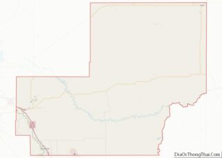
| County: | Meade County |
| Founded: | 1878 |
| Incorporated: | 1888 |
| Elevation: | 3,422 ft (1,043 m) |
| Total Area: | 6.51 sq mi (16.86 km²) |
| Land Area: | 6.42 sq mi (16.63 km²) |
| Water Area: | 0.09 sq mi (0.24 km²) |
| Total Population: | 7,020 |
| Population Density: | 1,093.46/sq mi (422.17/km²) |
| ZIP code: | 57785 |
| Area code: | 605 |
| FIPS code: | 4662100 |
| GNISfeature ID: | 1265387 |
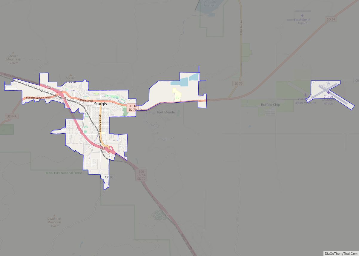
Online Interactive Map
Click on ![]() to view map in "full screen" mode.
to view map in "full screen" mode.
Sturgis location map. Where is Sturgis city?


History
Sturgis was founded in 1878. An early nickname for the town was “Scooptown.” Scooptown had been an earlier settlement at the base of Bear Butte, that supplied the soldiers at Camp Sturgis an outlet for their vices. When it became apparent that Sturgis was going to be the city that supplied the newly formed Fort Meade, the occupants of Scooptown moved en masse to Sturgis and set up their shops. Sturgis was named in honor of the Civil War Union General Samuel D. Sturgis. In 1889, Sturgis was designated as the county seat of the newly formed Meade County.
As part of the vast Ellsworth Air Force Base complex, the land north of Sturgis was dotted with 50 Minuteman missile silos. The L5 is 3.5 miles (5.6 km) from the center of the town.
Towards the end of the summer of 2015, the Full Throttle Saloon, described as the world’s largest biker bar and the subject of the reality television series Full Throttle Saloon, burned down, but was rebuilt on 600 acres in nearby Vale near Bear Butte.
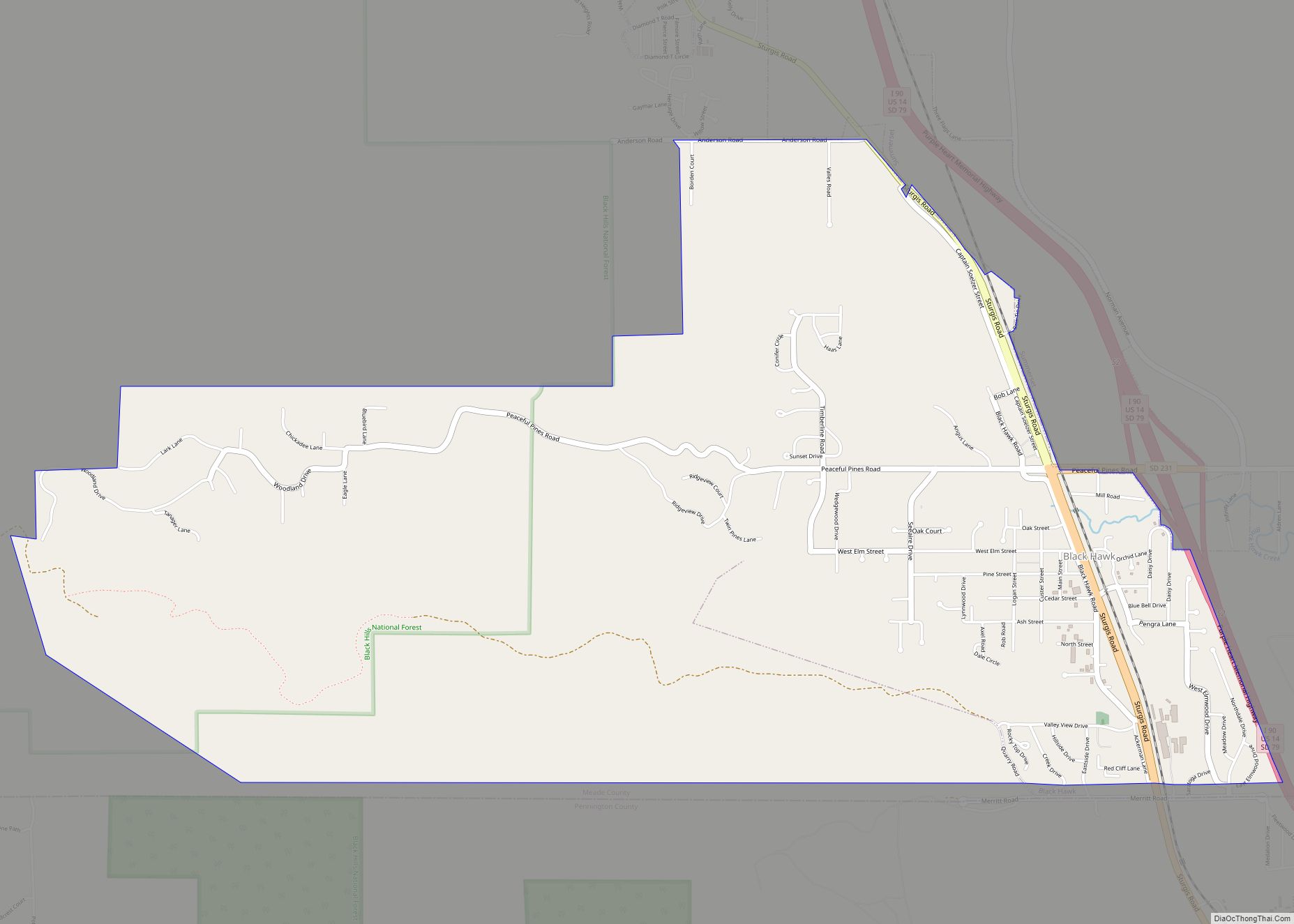
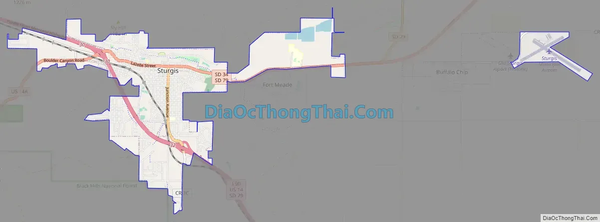
Sturgis Road Map
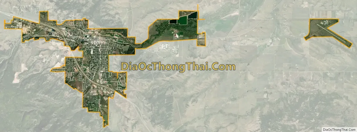
Sturgis city Satellite Map
Geography
According to the United States Census Bureau, the city has a total area of 3.99 square miles (10.33 km), all land.
Climate
Sturgis has a hot-summer humid continental climate (Dfa.) The hardiness zone is 5a.
See also
Map of South Dakota State and its subdivision:- Aurora
- Beadle
- Bennett
- Bon Homme
- Brookings
- Brown
- Brule
- Buffalo
- Butte
- Campbell
- Charles Mix
- Clark
- Clay
- Codington
- Corson
- Custer
- Davison
- Day
- Deuel
- Dewey
- Douglas
- Edmunds
- Fall River
- Faulk
- Grant
- Gregory
- Haakon
- Hamlin
- Hand
- Hanson
- Harding
- Hughes
- Hutchinson
- Hyde
- Jackson
- Jerauld
- Jones
- Kingsbury
- Lake
- Lawrence
- Lincoln
- Lyman
- Marshall
- McCook
- McPherson
- Meade
- Mellette
- Miner
- Minnehaha
- Moody
- Pennington
- Perkins
- Potter
- Roberts
- Sanborn
- Shannon
- Spink
- Stanley
- Sully
- Todd
- Tripp
- Turner
- Union
- Walworth
- Yankton
- Ziebach
- Alabama
- Alaska
- Arizona
- Arkansas
- California
- Colorado
- Connecticut
- Delaware
- District of Columbia
- Florida
- Georgia
- Hawaii
- Idaho
- Illinois
- Indiana
- Iowa
- Kansas
- Kentucky
- Louisiana
- Maine
- Maryland
- Massachusetts
- Michigan
- Minnesota
- Mississippi
- Missouri
- Montana
- Nebraska
- Nevada
- New Hampshire
- New Jersey
- New Mexico
- New York
- North Carolina
- North Dakota
- Ohio
- Oklahoma
- Oregon
- Pennsylvania
- Rhode Island
- South Carolina
- South Dakota
- Tennessee
- Texas
- Utah
- Vermont
- Virginia
- Washington
- West Virginia
- Wisconsin
- Wyoming