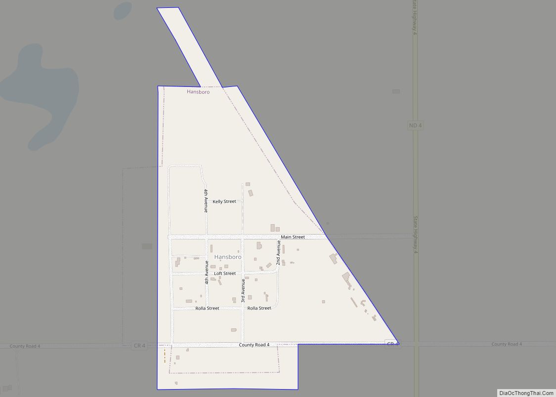
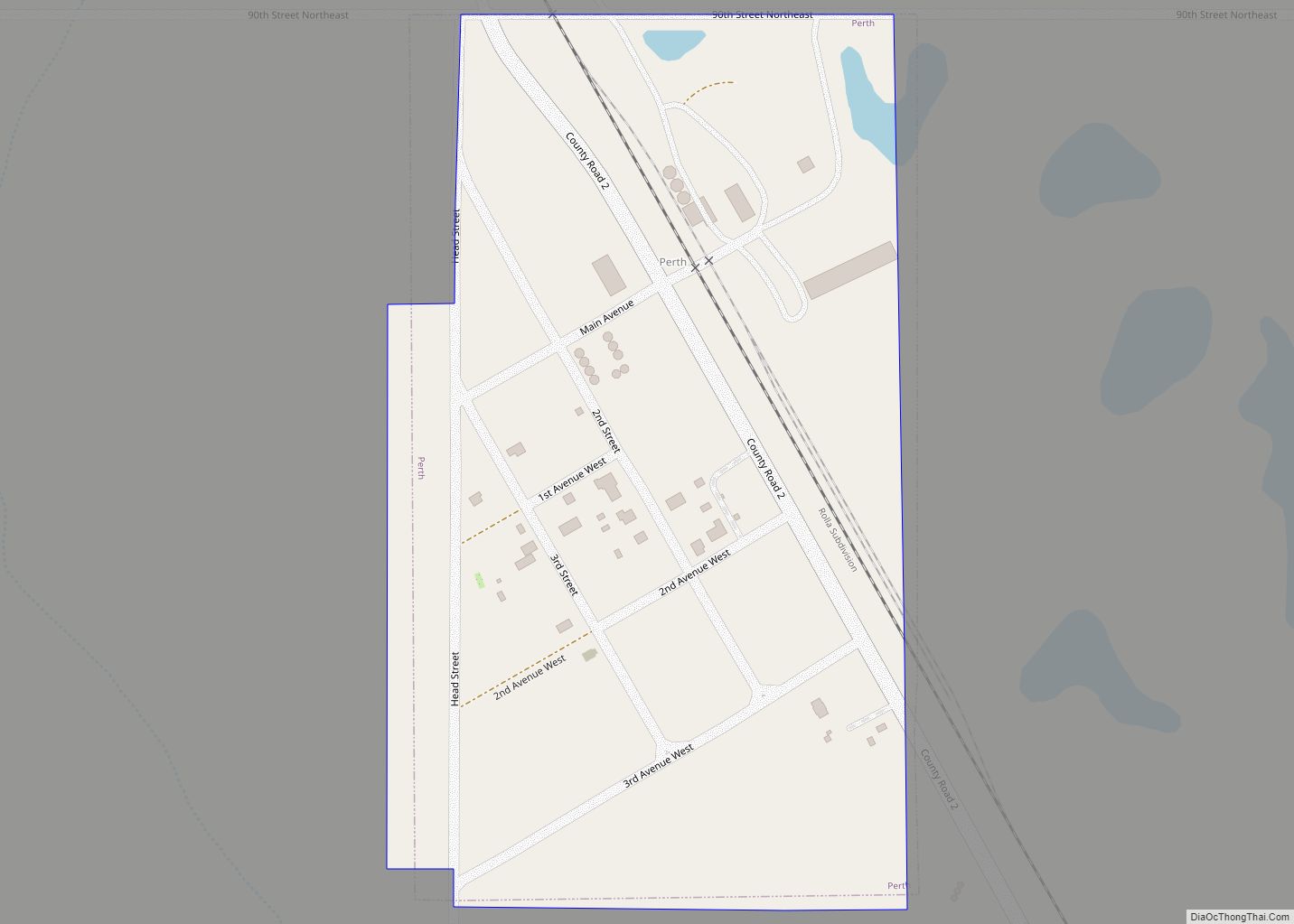
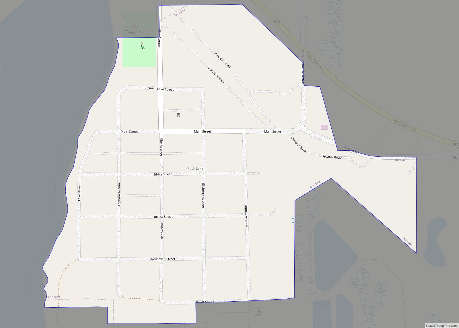
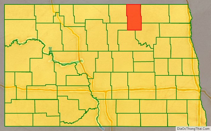
Towner County is a county in the U.S. state of North Dakota. As of the 2020 census, the population is 2,162. Its county seat is Cando. It is south of the Canada–US border with Manitoba.
| Name: | Towner County |
|---|---|
| FIPS code: | 38-095 |
| State: | North Dakota |
| Founded: | 1883 |
| Named for: | Oscar M. Towner |
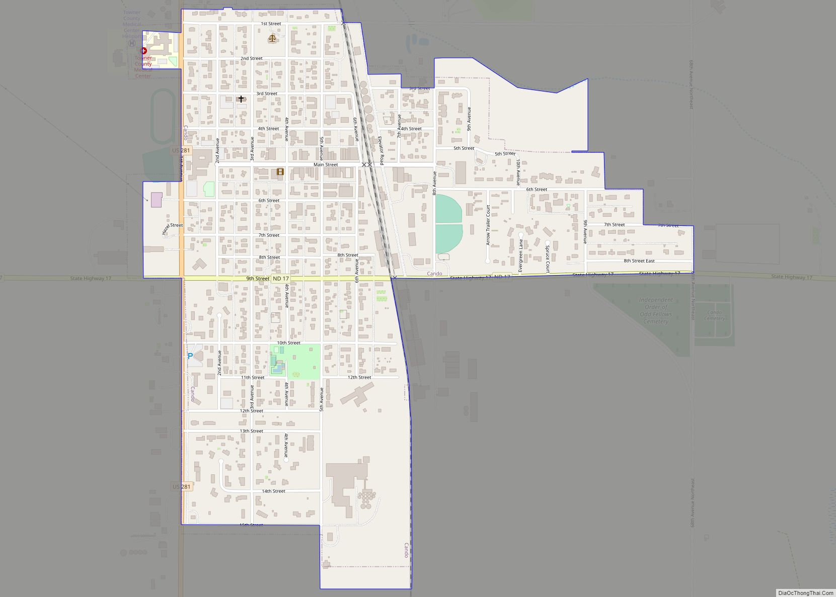
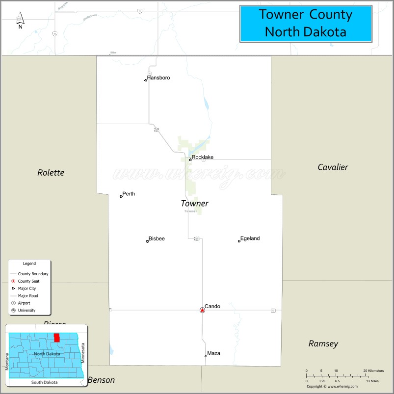
| Seat: | Cando |
| Largest city: | Cando |
| Total Area: | 1,041 sq mi (2,700 km²) |
| Land Area: | 1,025 sq mi (2,650 km²) |
| Total Population: | 2,162 |
| Population Density: | 2.1/sq mi (0.80/km²) |
| Time zone: | UTC−6 (Central) |
| Summer Time Zone (DST): | UTC−5 (CDT) |
| Website: | townercountynd.com |
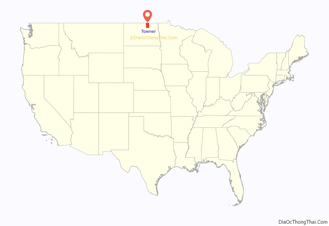
Towner County location map. Where is Towner County?
History
The Dakota Territory legislature created the county on March 8, 1883, with areas partitioned from Cavalier and Rolette counties. It was named for Oscar M. Towner (1842–1897), a businessman and member of the 15th territorial legislature. The county organization was not completed at that time, and the county was attached to Pembina County for judicial and administrative purposes. That lasted until January 24, 1884, when the county organization was effected, and its attachment to Pembina was dissolved. However, on January 26, 1889, the county was attached to Ramsey County for judicial and administrative purposes. This arrangement only lasted a few months. The boundaries of Towner County as first formed have not been altered to the present (as of 2019).
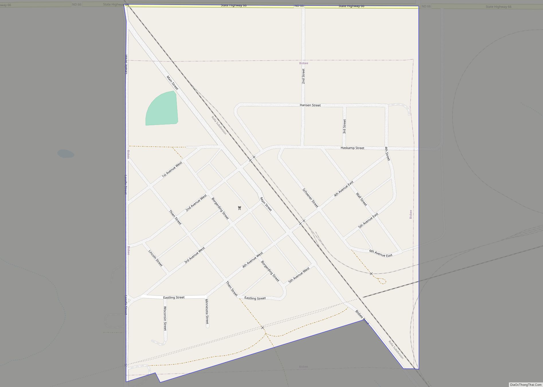
The city of Towner, North Dakota, is in McHenry County.
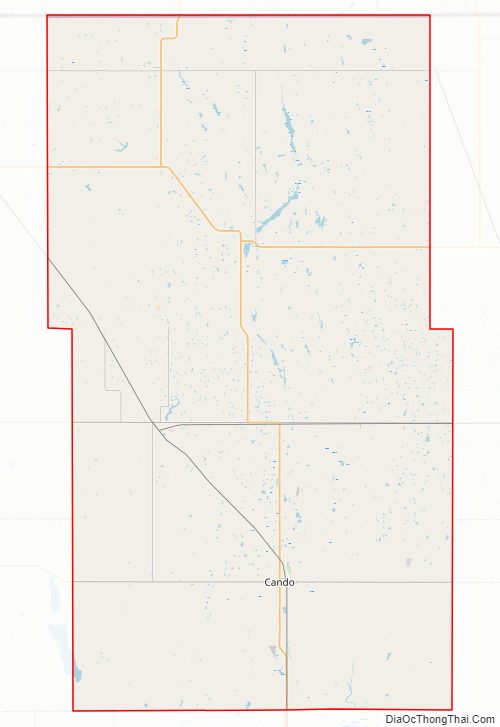
Towner County Road Map
Geography
Towner County lies on the north line of North Dakota, and thus on the north line of the continental United States. Its north boundary line abuts the south boundary line of Canada. Its terrain consists of rolling hills, dotted with lakes and ponds. The area is devoted to agriculture. The Laurentian Divide runs across Towner County – the northern terrain slopes to the north while the southern terrain slopes to the south, and the county as a whole slightly slopes to the east. The county has a total area of 1,041 square miles (2,700 km), of which 1,025 square miles (2,650 km) is land and 17 square miles (44 km) (1.6%) is water.
Towner County, North Dakota Weather Data
Averages use 1901-2000
Records are from 1895-Present
Major highways
- U.S. Route 281
- North Dakota Highway 5
- North Dakota Highway 17
- North Dakota Highway 66
Adjacent counties and rural municipalities
- Municipality of Killarney-Turtle Mountain, Manitoba – northwest
- Cartwright-Roblin Municipality, Manitoba – north
- Municipality of Louise, Manitoba – northeast
- Cavalier County – east
- Ramsey County – southeast
- Benson County – south
- Pierce County – southwest
- Rolette County – west
National protected areas
- Brumba National Wildlife Refuge
- Lake Alice National Wildlife Refuge (part)
- Rock Lake National Wildlife Refuge
- Snyder Lake National Wildlife Refuge
Lakes
- Armourdale Lake
- Brumba Pool
- Lake Alice (part)
- McLaughlin Lake
- Moore Lake
- Pound Lake
- Rock Lake
- Snyder Lake
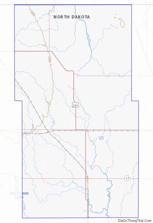
Towner County Topographic Map
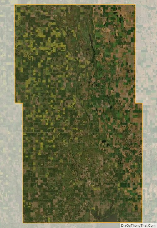
Towner County Satellite Map
Towner County Outline Map