Pittsylvania County is a county located in the Commonwealth of Virginia. As of the 2020 United States Census, the population was 60,501. Chatham is the county seat.
Pittsylvania County is included in the Danville, VA Micropolitan Statistical Area.
The largest undeveloped uranium deposit in the United States (7th largest in the world) is located in Pittsylvania County. (see Uranium mining in Virginia.)
| Name: | Pittsylvania County |
|---|---|
| FIPS code: | 51-143 |
| State: | Virginia |
| Founded: | 1767 |
| Named for: | William Pitt |
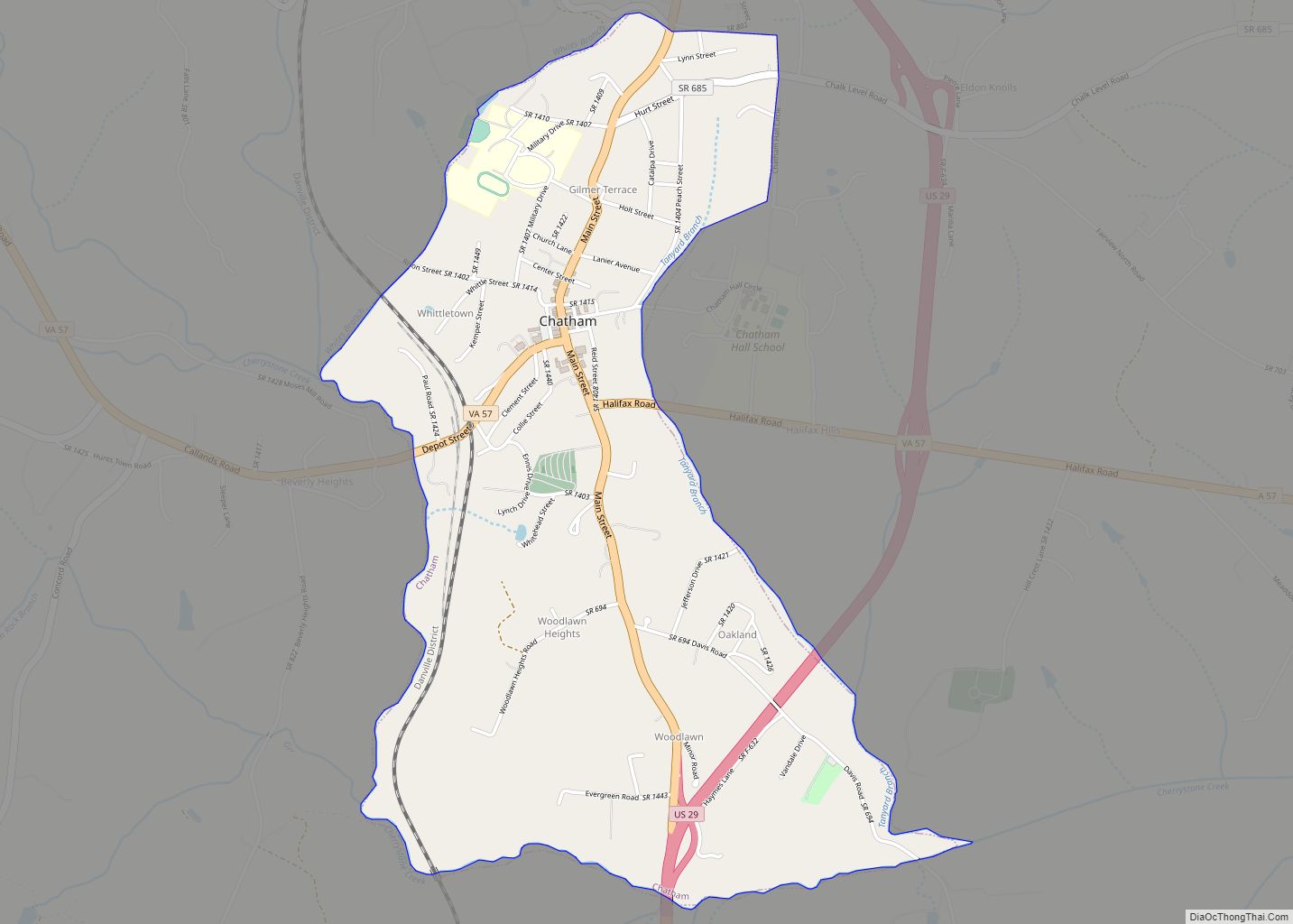
| Seat: | Chatham |
| Largest town: | Chatham |
| Total Area: | 978 sq mi (2,530 km²) |
| Land Area: | 969 sq mi (2,510 km²) |
| Total Population: | 60,501 |
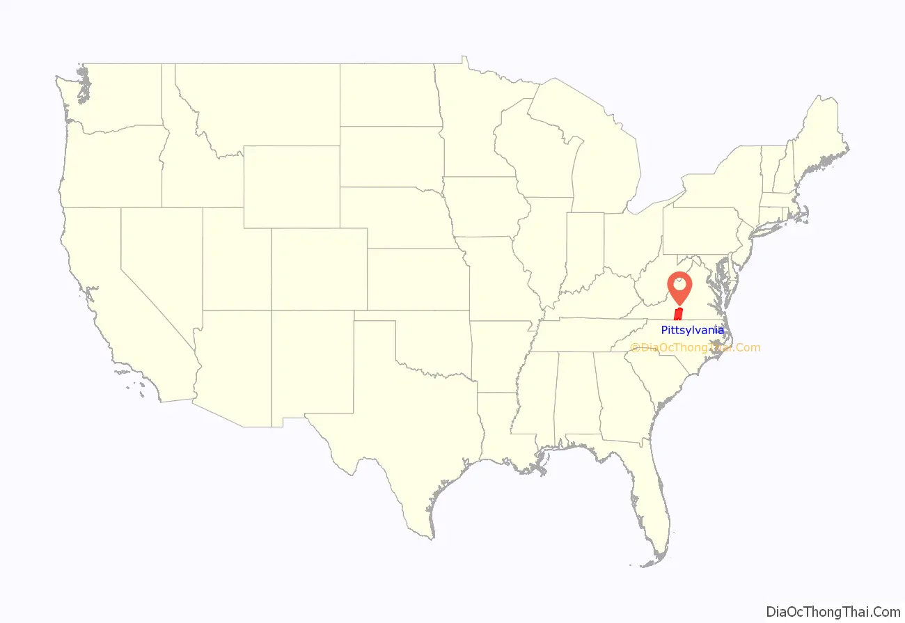
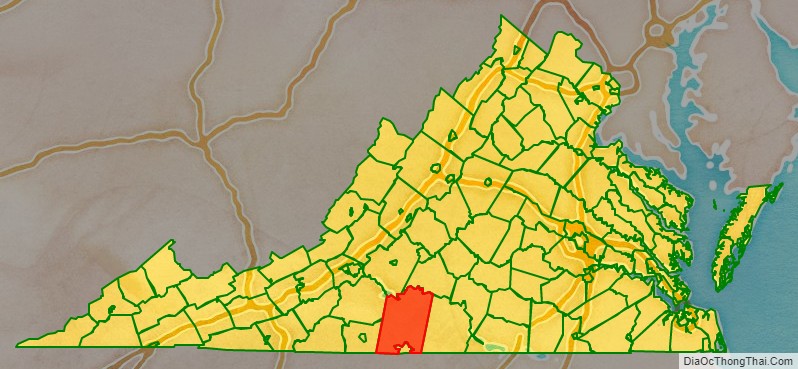
Pittsylvania County location map. Where is Pittsylvania County?
History
Originally “Pittsylvania” was a name suggested for an unrealized British colony to be located primarily in what is now West Virginia. Pittsylvania County would not have been within this proposed colony, which subsequently was named Vandalia.
Pittsylvania County was formed in 1767 with territory annexed from Halifax County. It was named for William Pitt, 1st Earl of Chatham, who served as Prime Minister of Great Britain from 1766 to 1768, and who opposed some harsh colonial policies of the period.
In 1777 the western part of Pittsylvania County was partitioned off to became Patrick Henry County.
Maud Clement’s History of Pittsylvania County notes the following: “Despite the settlers’ intentions, towns failed to develop for two reasons: the generally low level of economic activity in the area and the competition from plantation settlements already providing the kind of marketing and purchasing services typically offered by a town. Plantation settlements along the rivers, particularly at ferrying points, became commercial centers. The most important for early Pittsylvania was that of Sam Pannill, a Scots-Irishman, who at the end of the eighteenth century, while still a young man, set up a plantation town at Green Hill on the north side of the Staunton River in Campbell County. (Clement 15)
“Its economy was tobacco-dominated and reliant on a growing slave labor force. It was a county without towns or a commercial center. Plantation villages on the major river thoroughfares were the only centers of trade, until the emergence of Danville. (Clement 23)”
The city of Danville’s history up through the antebellum period overall is an expression of the relationship between the town and the planters who influenced its development.
Pittsylvania County Road Map
Geography
According to the United States Census Bureau, the county has a total area of 978 square miles (2,530 km), of which 969 square miles (2,510 km) is land and 9 square miles (23 km) (0.9%) is water. It is the largest county in Virginia by land area and second-largest by total area. The county is bounded on the north by the Roanoke River (this stretch of the river is known as the Staunton River), bisected by the Banister River running eastward through the center, and is drained on the south by the Dan River, flowing eastward.
Districts
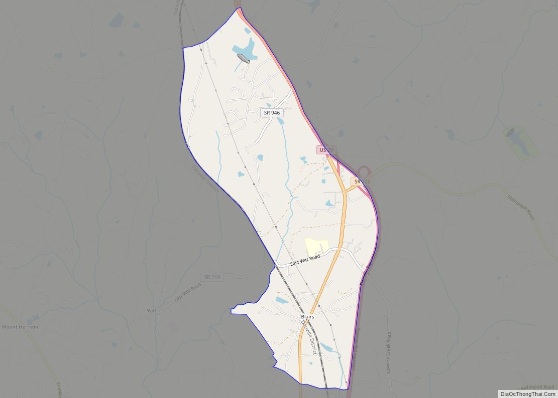
The county is divided into seven districts:
Adjacent counties and cities
Virginia Counties
- Bedford County – Northwest (across Smith Mountain Lake)
- Campbell County – North/Northeast
- Franklin County – West/Northwest
- Halifax County – East
- Henry County – West/Southwest
- Danville (independent city within borders of Pittsylvania County) – South
North Carolina Counties
- Caswell County, North Carolina – South/Southeast
- Rockingham County, North Carolina – South/Southwest
Major highways
- US 29
- US 58
- US 311
- US 360
- SR 40
- SR 41
- SR 51
- SR 57
- SR 360
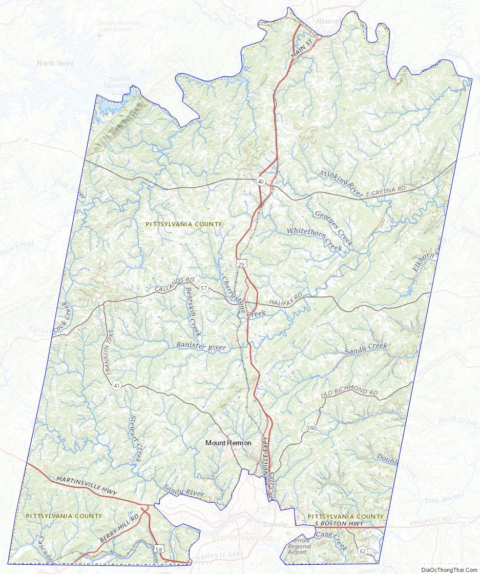
Pittsylvania County Topographic Map
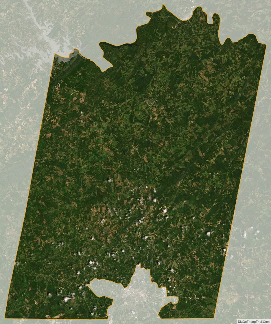
Pittsylvania County Satellite Map
Pittsylvania County Outline Map