Bedford County is a United States county located in the Piedmont region of the Commonwealth of Virginia. Its county seat is the town of Bedford, which was an independent city from 1968 until rejoining the county in 2013.
Bedford County was created in 1753 from parts of Lunenburg County, and several changes in alignment were made until the present borders were established in 1786. The county was named in honor of John Russell, an English statesman and fourth Duke of Bedford.
Bedford County is part of the Lynchburg Metropolitan Statistical Area. As of the 2020 census, Bedford’s population was 79,462. The county population has more than doubled since 1980.
| Name: | Bedford County |
|---|---|
| FIPS code: | 51-019 |
| State: | Virginia |
| Founded: | 1754 |
| Named for: | John Russell, 4th Duke of Bedford |
| Seat: | Bedford |
| Largest town: | Bedford |
| Total Area: | 769 sq mi (1,990 km²) |
| Land Area: | 753 sq mi (1,950 km²) |
| Total Population: | 79,462 |
| Population Density: | 100/sq mi (40/km²) |
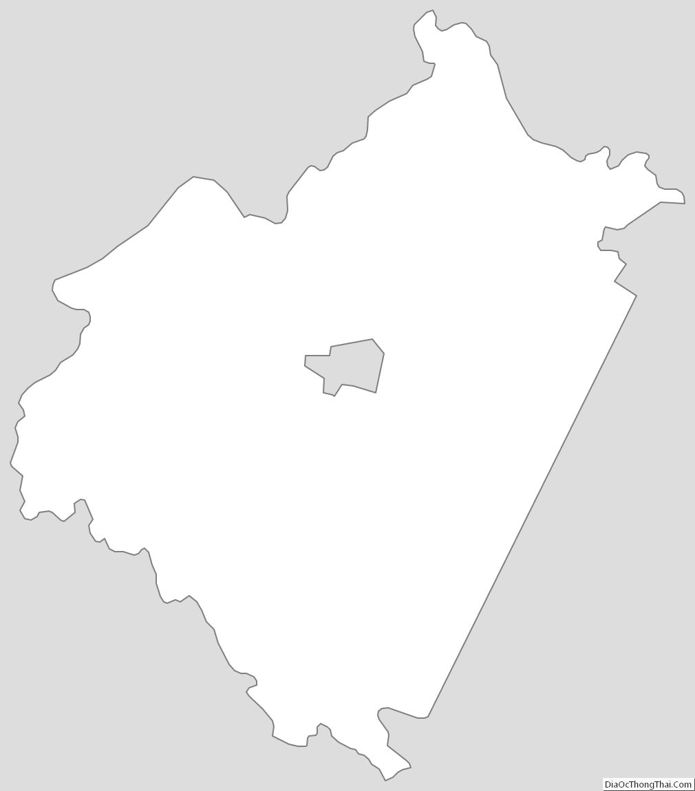
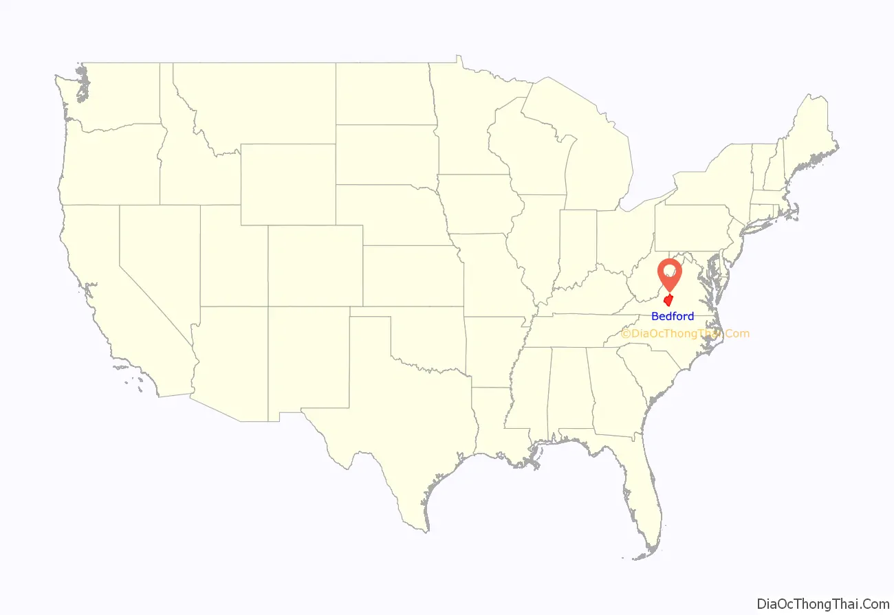
Bedford County location map. Where is Bedford County?
History
The Piedmont area had long been inhabited by indigenous peoples. At the time of European encounter, mostly Siouan-speaking tribes lived in this area.
Bedford County was established by European Americans on December 13, 1753 from parts of Lunenburg County. Later in 1756, a portion of Albemarle County lying south of the James River was added. The county is named for John Russell, the fourth Duke of Bedford, who was a Secretary of State of Great Britain. In 1782, Campbell County was formed from eastern Bedford County and the county seat was moved from New London to Liberty (now Bedford). Also in 1786, the portion of Bedford County south of the Staunton (Roanoke) River was taken with part of Henry County to form Franklin County.
The town of Bedford became an independent city in 1968, and remained the county seat. On September 14, 2011, the Bedford City Council voted to transition into a town and end its independent city status. The supervisors of Bedford County also voted to accept the town of Bedford as part of the county when it lost city status. The town of Bedford once more became part of Bedford County on July 1, 2013.
Bedford County Road Map
Geography
According to the U.S. Census Bureau, the county has a total area of 769 square miles (1,990 km), of which 753 square miles (1,950 km) is land and 16 square miles (41 km) (2.1%) is water.
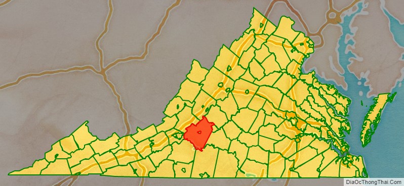
Adjacent counties and city
- Rockbridge County – north
- Amherst County – northeast
- Lynchburg, Virginia – east (independent city)
- Campbell County – southeast
- Pittsylvania County – south
- Franklin County – southwest
- Roanoke County – west
- Botetourt County – northwest
National protected areas
- Blue Ridge Parkway (part)
- Jefferson National Forest (part)
- James River Face Wilderness (part)
State Park
- Smith Mountain Lake State Park
Major highways
- US 221
- US 460
- US 501
- SR 24
- SR 43
- SR 122
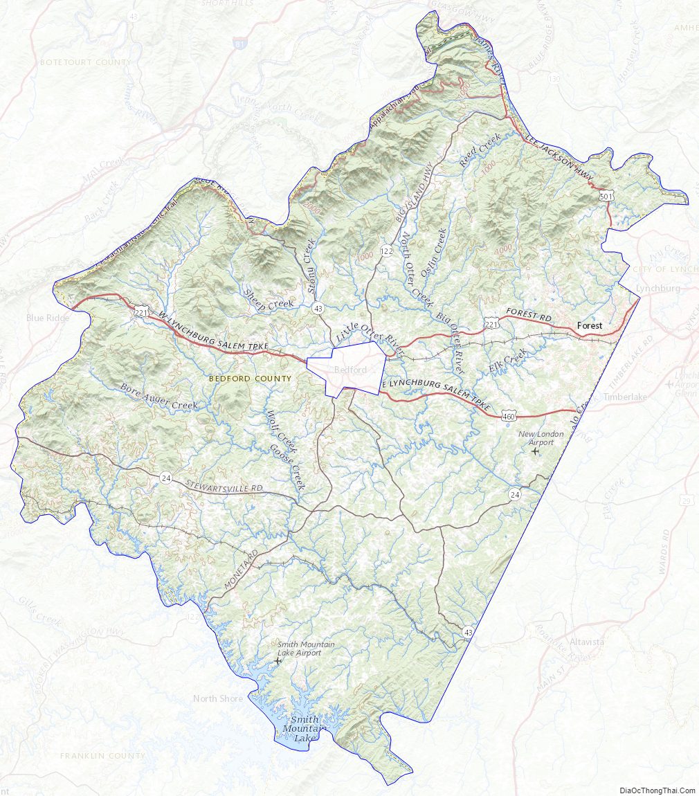
Bedford County Topographic Map
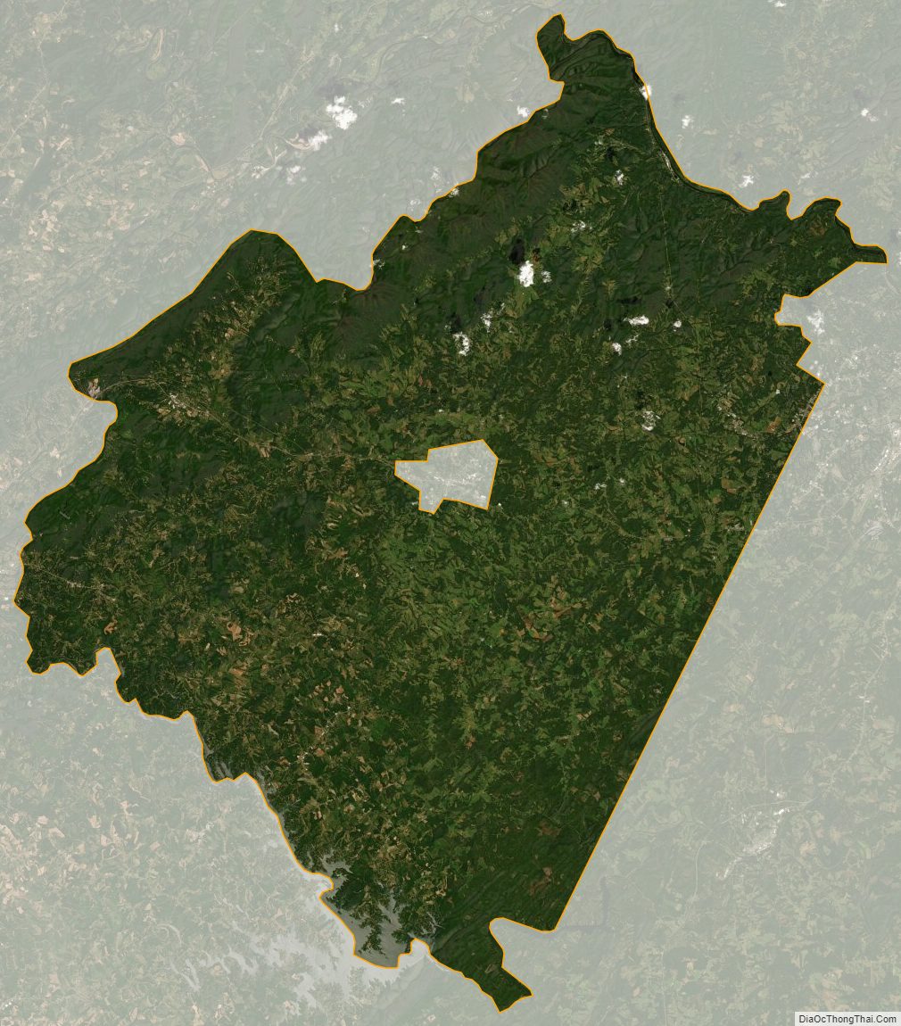
Bedford County Satellite Map
Bedford County Outline Map