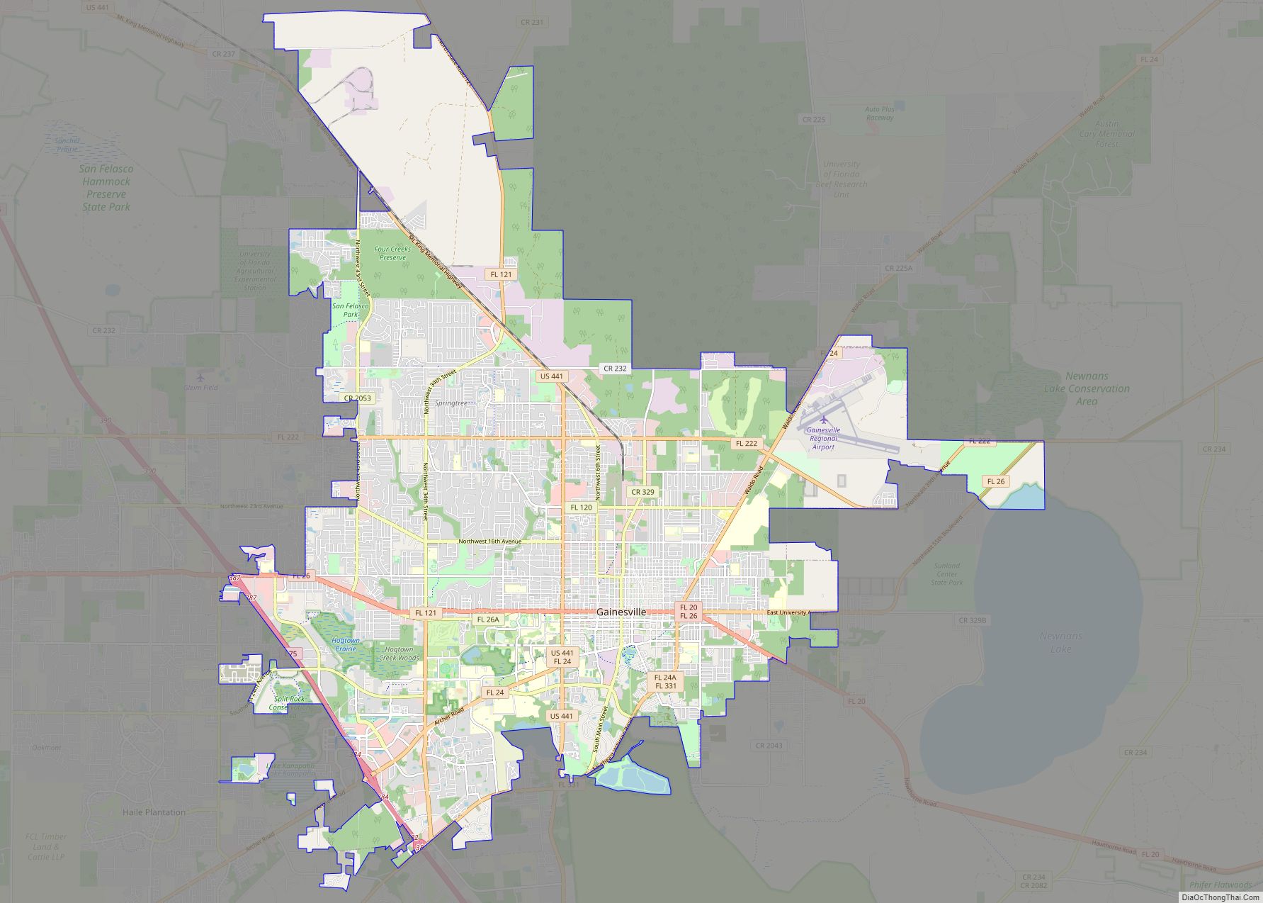
Gainesville is the county seat of Alachua County, Florida, and the largest city in North Central Florida, with a population of 141,085 in 2020. It is the principal city of the Gainesville metropolitan area, which had a population of 339,247 in 2020.
Gainesville is home to the University of Florida, the fourth-largest public university campus by enrollment in the United States as of the 2021–2022 academic year. The university hosts the Florida Gators sports teams in the NCAA competitions.
| Name: | Gainesville city |
|---|---|
| LSAD Code: | 25 |
| LSAD Description: | city (suffix) |
| State: | Florida |
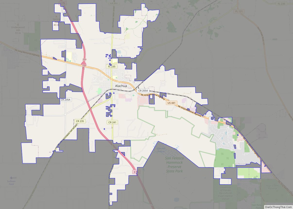
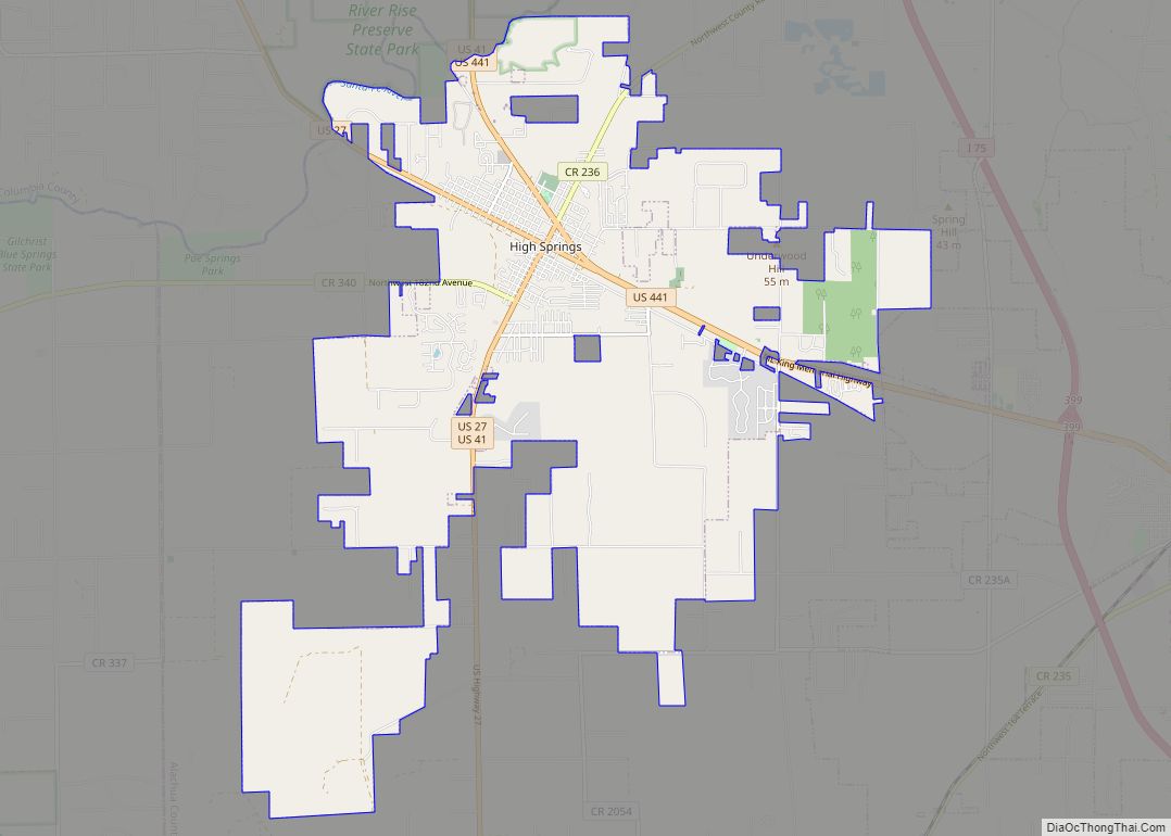
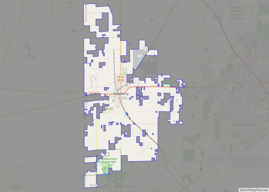
| County: | Alachua County |
| Incorporated: | April 14, 1869 |
| Elevation: | 152 ft (54 m) |
| Land Area: | 63.36 sq mi (164.11 km²) |
| Water Area: | 1.17 sq mi (3.04 km²) 1.74% |
| Population Density: | 2,226.61/sq mi (859.70/km²) |
| ZIP code: | 32601–32614, 32627, 32635, 32641, 32653 |
| Area code: | 352 |
| FIPS code: | 1225175 |
| GNISfeature ID: | 0282874 |
| Website: | www.gainesvillefl.gov |
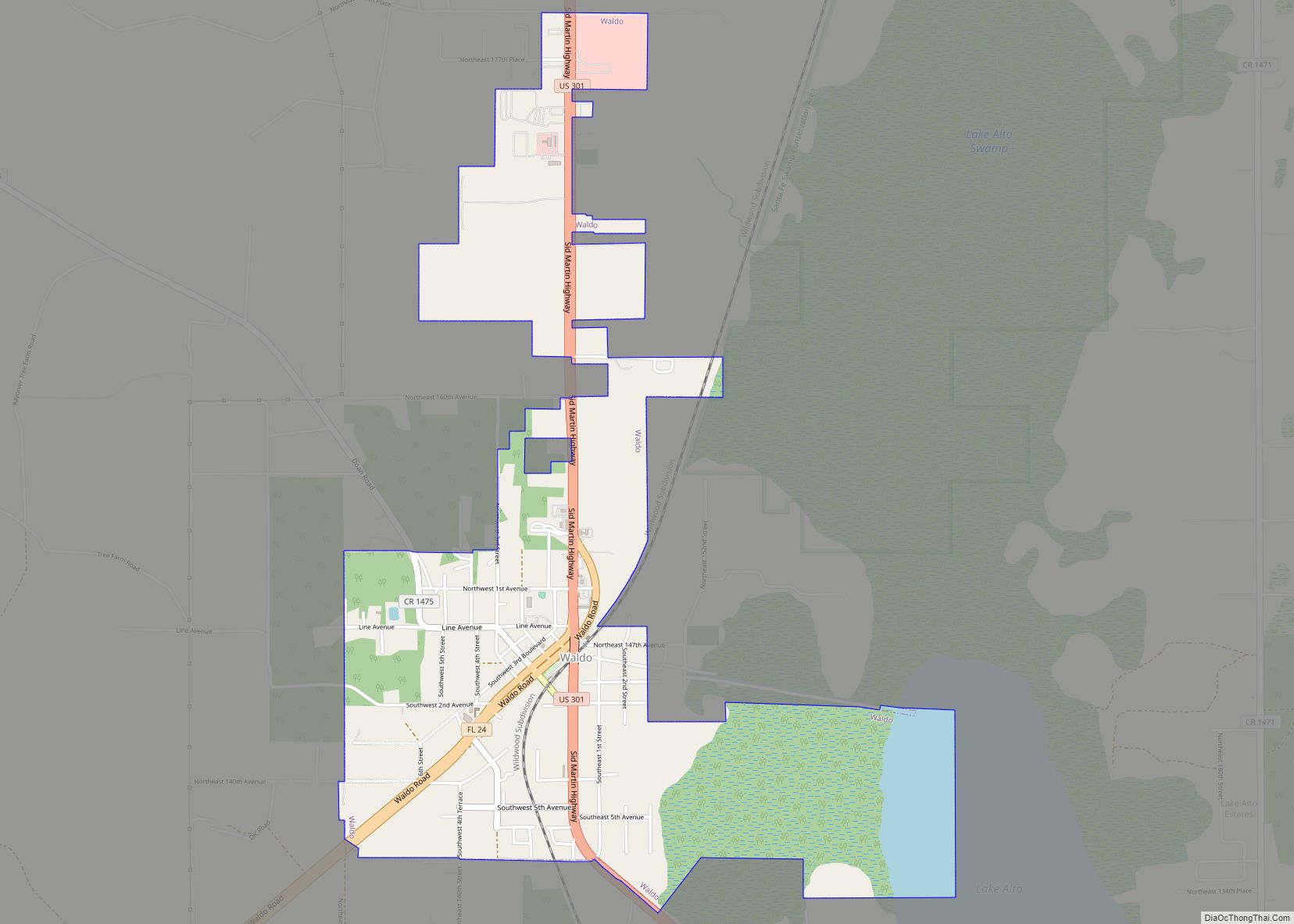
Online Interactive Map
Click on ![]() to view map in "full screen" mode.
to view map in "full screen" mode.
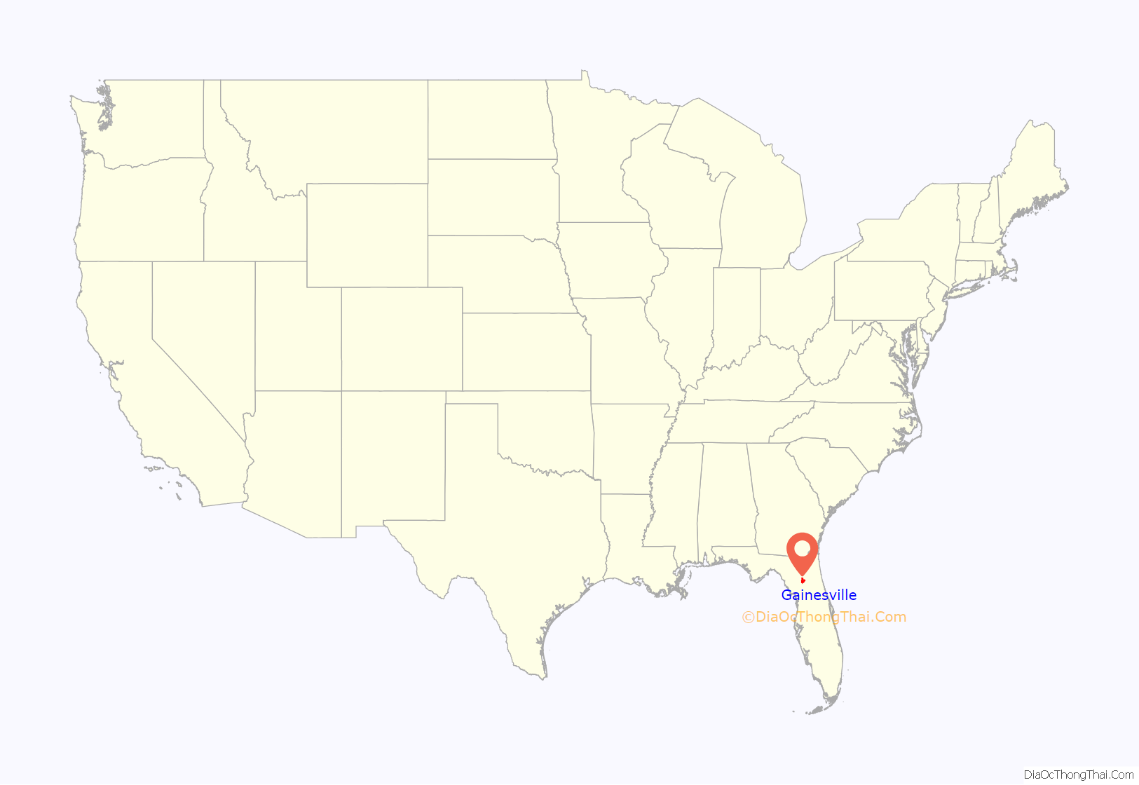
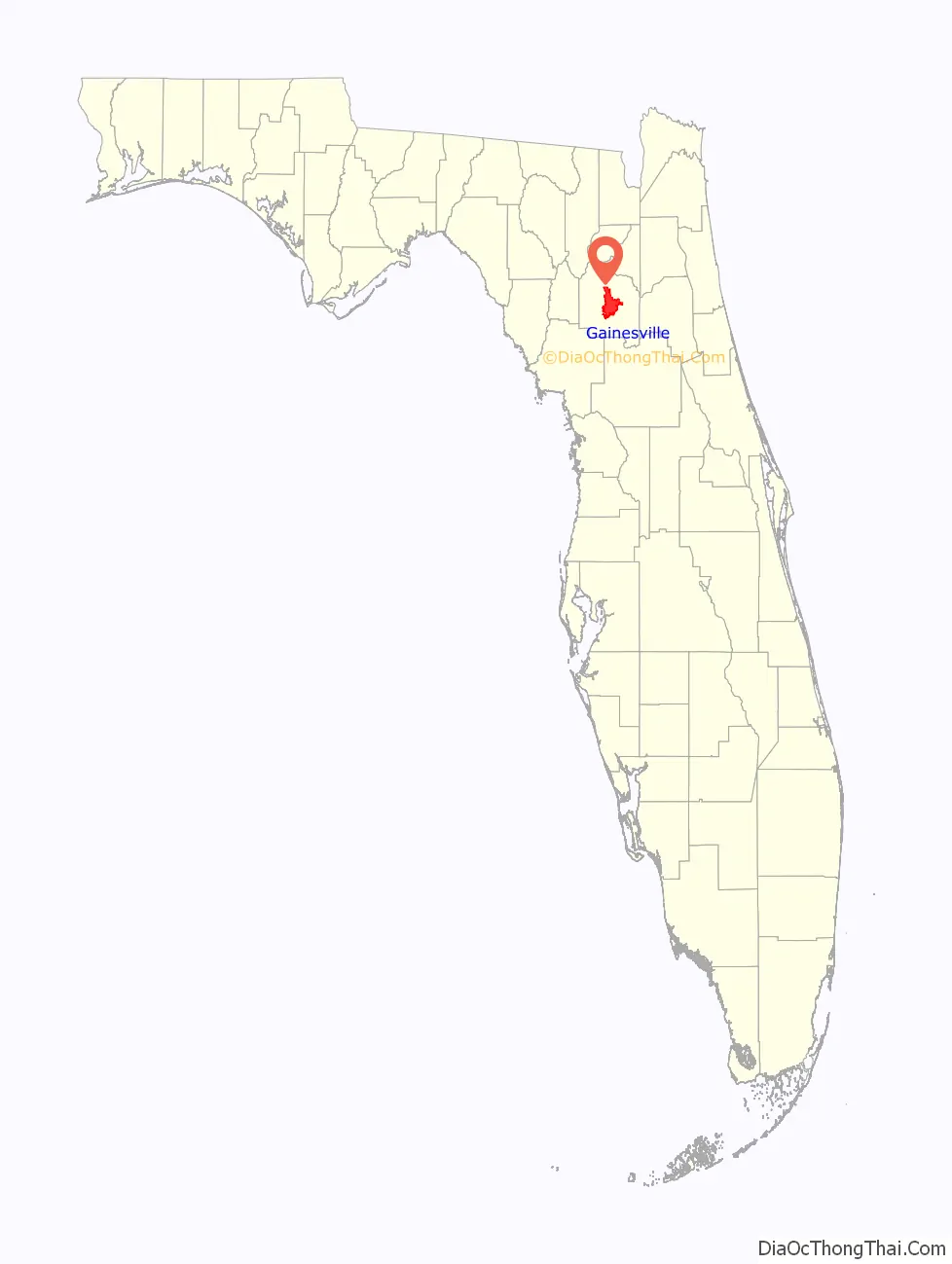
Gainesville location map. Where is Gainesville city?
History
There is archeological evidence, from about 12,000 years ago, of the presence of Paleo Indians in the Gainesville area, although it is not known if there were any permanent settlements. A Deptford culture campsite existed in Gainesville and was estimated to have been used between 500 BCE and 100 CE. The Deptford people moved south into Paynes Prairie and Orange Lake during the first century and evolved into the Cades Pond culture. The Deptford people who remained in the Gainesville area were displaced by migrants from southern Georgia sometime in the seventh century. These migrants evolved into the Alachua culture and they built their burial mound on top of the Deptford culture campsite. When Europeans made first contact in the area, the Potano lived in the area. They were descendants of the Alachua culture people. European contact diminished the numbers of native peoples (through disease, enslavement, war) and Spanish colonists began cattle ranching in the Paynes Prairie area in the 18th century. The Spanish ceded Florida to the US in 1821.
Gainesville was established in 1854 and named after Edmund P. Gaines. The town of Gainesville was incorporated in 1869 and chartered as a city in 1907. The University of the State of Florida was moved from Lake City to Gainesville in 1906 and its name was simplified to University of Florida in 1909.
Gainesville Road Map
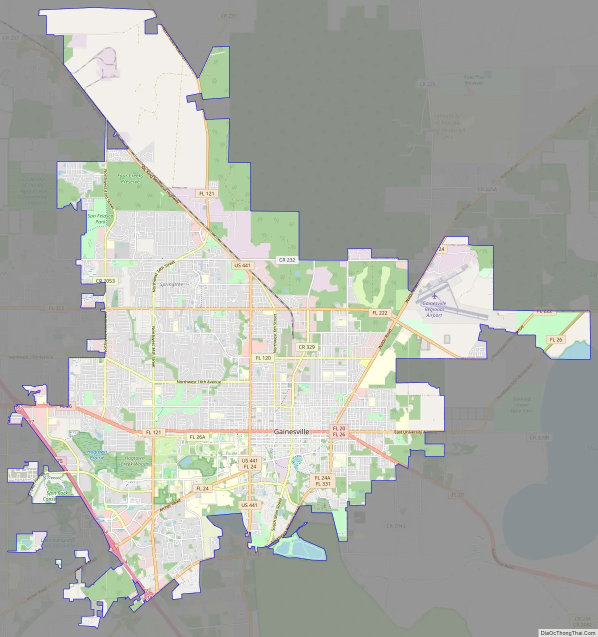
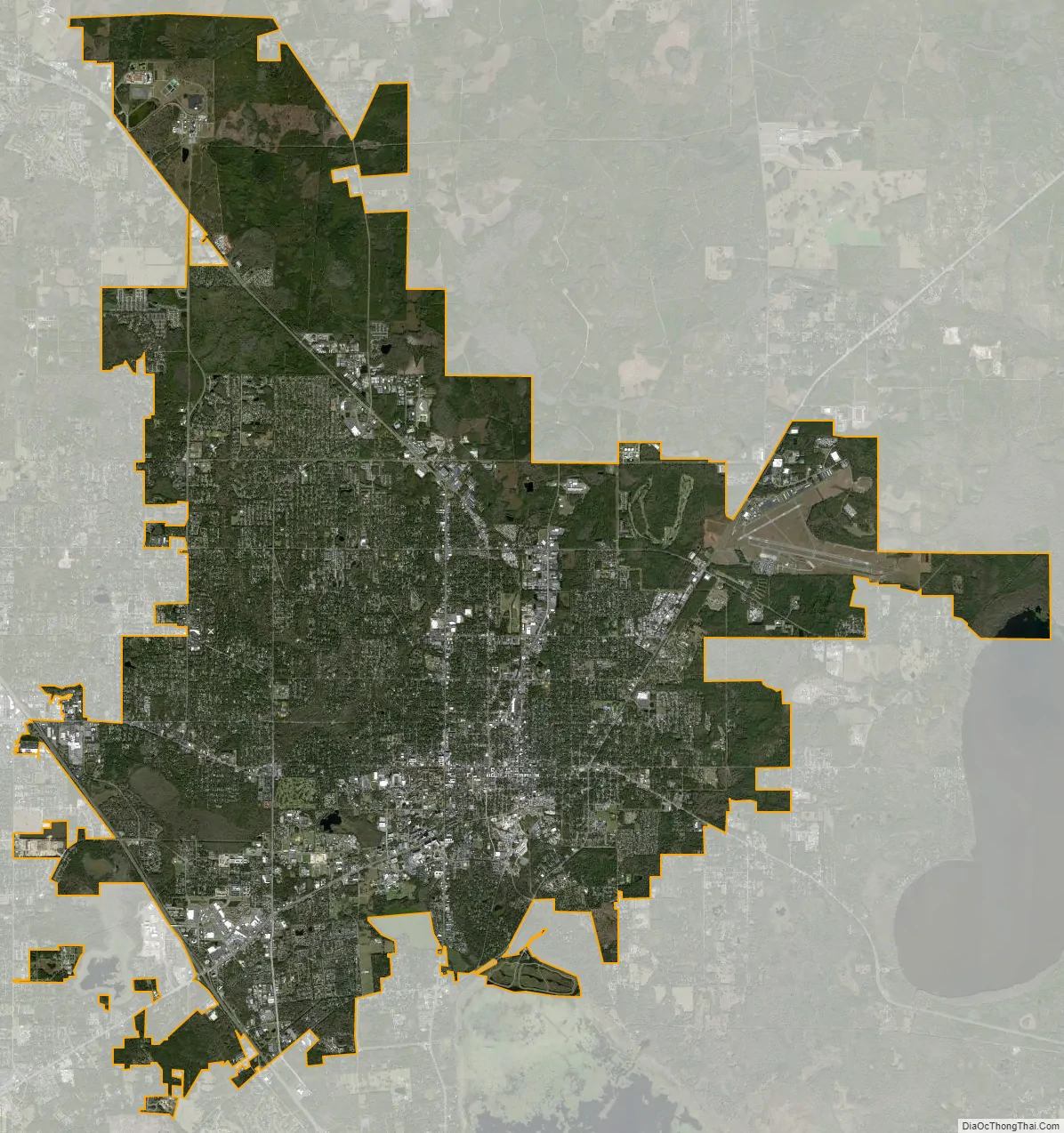
Gainesville city Satellite Map
Geography
Gainesville is located at 29°39’55” North, 82°20’10” West (29.665245, −82.336097), which is roughly the same latitude as Houston, Texas. According to the United States Census Bureau, the city has an area of 62.4 square miles (161.6 km), of which 61.3 square miles (158.8 km) is land and 1.1 square miles (2.8 km) is water. The total area is 1.74% water.
Gainesville’s tree canopy is both dense and species rich, including broadleaf evergreens, conifers, and deciduous species; the city has been recognized by the National Arbor Day Foundation every year since 1982 as a “Tree City, USA”. A 2016 ecological assessment indicates Gainesville’s urban tree canopy covers 47 percent of its land area.
Gainesville is the only city with more than 10,000 residents in the Gainesville, Florida, metropolitan statistical area (Alachua, Levy and Gilchrist counties), and it is surrounded by rural area, including the 21,000-acre (8,500 ha) wilderness of Paynes Prairie on its southern edge. The city is characterized by its medium size and central location, about two hours’ driving time from either Jacksonville or Orlando, three hours from Tampa, and six hours from either Atlanta or Miami. The area is dominated by the University of Florida, which in 2008 was the third-largest university by enrollment in the US, and as of 2021 was the fourth-largest.
Climate
Gainesville’s climate is defined as humid subtropical (Köppen: Cfa), with tropical-like summers, warm to hot shoulder seasons, and mild winters. Due to its inland location, Gainesville experiences wide temperature fluctuations, and it is part of USDA Plant hardiness zone 9a. During the hot season, from roughly May 15 to September 30, the city’s climate is similar to the rest of the state, with frequent afternoon thunderstorms and high humidity. Average temperatures range from the low 70s (21–23 °C) at night to around 91 °F (33 °C) during the day.
In the cool season, Gainesville experiences 15 nights of temperatures at freezing or below and sustained freezes every few years. The all-time record low of 6 °F (−14 °C) was reached on February 13, 1899, and the city experienced light snow and freezing rain on Christmas Eve, 1989. Traces of snow were also recorded in 1977, 1996, 2010 and 2016. The daily average temperature in January is 54.8 °F (12.7 °C); on average, the window for freezing temperatures is December 4 to February 24, allowing a growing season of 282 days, although the 1949-50 winter season did not record a freeze. Like the rest of the state, cold temperatures are almost always accompanied by clear skies and high pressure systems; snow is therefore rare. Temperatures reaching 100 °F (38 °C) or falling below 20 °F (−7 °C) are rare, having respectively last occurred on June 4, 2019, and January 11, 2010.
The city’s flora and fauna are also distinct from coastal regions of the state, and include many deciduous species, such as dogwood, maple, hickory and sweet gum, alongside palms, live oaks, and other evergreens. This allows the city to enjoy brief periods of fall color in late November and December and a noticeable, prolonged spring from mid-February through early April. This is a generally pleasant period, as colorful blooms of azalea and redbud complement a cloudless blue sky, for this is also the period of the lowest precipitation and lowest humidity. The city averages 48.31 inches (1,230 mm) of rain per year. June through September accounts for most annual rainfall, while autumn and early winter is the driest period.
Cityscape
Since the 1990s, suburban sprawl has been a concern for a majority of the city commissioners. The “New Urbanization” plan to gentrify the area between historic Downtown and the University of Florida may slow the growth of suburban sectors and spark a migration toward upper-level apartments in the inner city. The area immediately north of the university is also seeing active redevelopment. Many gentrification plans rely on tax incentives that have sparked controversy and are sometimes unsuccessful. University Corners, which would not have been proposed without a $98 million tax incentive program by the city, was to be “a crowning jewel of the city’s redevelopment efforts”, 450 condos and hotel units and 98,000 square feet (9,100 m) of retail space in eight stories covering three city blocks, on 3.4 acres (1.4 ha) purchased for $15.5 million. 19 thriving businesses were demolished in April 2007, but in May 2008 deposit checks were refunded to about 105 people who reserved units, and in July 2008 developers spent “$120,000 to beautify the site, so we won’t have this ugly green fence”.
Gainesville’s east side houses the majority of the city’s African-American community, while the west side consists of the mainly student and White resident communities. West of the city limits are large-scale planned communities, most notably Haile Plantation, which was built on the site of its eponymous former plantation.
The destruction of the city’s landmark Victorian courthouse in the 1960s, which some considered unnecessary, brought the idea of historic preservation to the community’s attention. The bland county building that replaced the grand courthouse became known to some locals as the “air conditioner”. Additional destruction of the downtown area’s historic buildings has left a small handful of older buildings, like the Hippodrome State Theatre, at one time a federal building. However, revitalization of the city’s core has picked up, and the city is replacing many parking lots and underutilized buildings with infill development and near-campus housing that blend with existing historic structures. There is a proposal to rebuild a replica of the old courthouse on a parking lot one block from the original location.
Helping in this effort are the number of areas and buildings added to the National Register of Historic Places. Dozens of examples of restored Victorian and Queen Anne style residences constructed in the city’s agricultural heyday of the 1880s and 1890s can be found in the following districts:
- Northeast Gainesville Residential District
- Southeast Gainesville Residential District
- Pleasant Street Historic District
Additionally, the University of Florida Campus Historic District, consisting of 11 buildings and 14 contributing properties, lies within the city’s boundaries. Most of the buildings in the Campus Historic District are constructed in variations of Collegiate Gothic architecture, which returned to prominence in the late 19th and early 20th centuries.
Historic structures on the Register in and around downtown are:
- Bailey Plantation House (1854)
- Colson House (1905)
- Matheson House (1867)
- Thomas Hotel (1910)
- The Old Post Office (now the Hippodrome State Theatre) (1911)
- Masonic Temple (1908)
- Seagle Building (1926), downtown Gainesville’s tallest building.
- Baird Hardware Company Warehouse (1890)
- Cox Furniture Store (1875)
- Cox Furniture Warehouse (c. 1890)
- Epworth Hall (1884)
- Old Gainesville Depot (1907)
- Mary Phifer McKenzie House (1895)
- Star Garage (1902)
- A. Quinn Jones House
Developments and expansions
- Innovation Square
- University Corners
- The Continuum – Graduate and Professional Student Housing
See also
Map of Florida State and its subdivision:- Alachua
- Baker
- Bay
- Bradford
- Brevard
- Broward
- Calhoun
- Charlotte
- Citrus
- Clay
- Collier
- Columbia
- Desoto
- Dixie
- Duval
- Escambia
- Flagler
- Franklin
- Gadsden
- Gilchrist
- Glades
- Gulf
- Hamilton
- Hardee
- Hendry
- Hernando
- Highlands
- Hillsborough
- Holmes
- Indian River
- Jackson
- Jefferson
- Lafayette
- Lake
- Lee
- Leon
- Levy
- Liberty
- Madison
- Manatee
- Marion
- Martin
- Miami-Dade
- Monroe
- Nassau
- Okaloosa
- Okeechobee
- Orange
- Osceola
- Palm Beach
- Pasco
- Pinellas
- Polk
- Putnam
- Saint Johns
- Saint Lucie
- Santa Rosa
- Sarasota
- Seminole
- Sumter
- Suwannee
- Taylor
- Union
- Volusia
- Wakulla
- Walton
- Washington
- Alabama
- Alaska
- Arizona
- Arkansas
- California
- Colorado
- Connecticut
- Delaware
- District of Columbia
- Florida
- Georgia
- Hawaii
- Idaho
- Illinois
- Indiana
- Iowa
- Kansas
- Kentucky
- Louisiana
- Maine
- Maryland
- Massachusetts
- Michigan
- Minnesota
- Mississippi
- Missouri
- Montana
- Nebraska
- Nevada
- New Hampshire
- New Jersey
- New Mexico
- New York
- North Carolina
- North Dakota
- Ohio
- Oklahoma
- Oregon
- Pennsylvania
- Rhode Island
- South Carolina
- South Dakota
- Tennessee
- Texas
- Utah
- Vermont
- Virginia
- Washington
- West Virginia
- Wisconsin
- Wyoming