Annapolis (/əˈnæpəlɪs/ (listen) ə-NAP-ə-lis) is the capital city of the U.S. state of Maryland and the county seat of, and only incorporated city in, Anne Arundel County. Situated on the Chesapeake Bay at the mouth of the Severn River, 25 miles (40 km) south of Baltimore and about 30 miles (50 km) east of Washington, D.C., Annapolis forms part of the Baltimore–Washington metropolitan area. The 2020 census recorded its population as 40,812, an increase of 6.3% since 2010.
This city served as the seat of the Confederation Congress, formerly the Second Continental Congress, and temporary national capital of the United States in 1783–1784. At that time, General George Washington came before the body convened in the new Maryland State House and resigned his commission as commander of the Continental Army. A month later, the Congress ratified the Treaty of Paris of 1783, ending the American Revolutionary War, with Great Britain recognizing the independence of the United States. The city and state capitol was also the site of the 1786 Annapolis Convention, which issued a call to the states to send delegates for the Constitutional Convention to be held the following year in Philadelphia. Over 220 years later, the Annapolis Peace Conference took place in 2007.
Annapolis is the home of St. John’s College, founded 1696. The United States Naval Academy, established 1845, is adjacent to the city limits.
| Name: | Annapolis city |
|---|---|
| LSAD Code: | 25 |
| LSAD Description: | city (suffix) |
| State: | Maryland |
| County: | Anne Arundel County |
| Founded: | 1649 |
| Incorporated: | 1708 |
| Elevation: | 43 ft (13 m) |
| Total Area: | 8.11 sq mi (21.01 km²) |
| Land Area: | 7.21 sq mi (18.66 km²) |
| Water Area: | 0.91 sq mi (2.34 km²) |
| Total Population: | 40,812 |
| Population Density: | 5,663.61/sq mi (2,186.66/km²) |
| FIPS code: | 2401600 |
| GNISfeature ID: | 595031 |
| Website: | www.annapolis.gov |
Online Interactive Map
Click on ![]() to view map in "full screen" mode.
to view map in "full screen" mode.
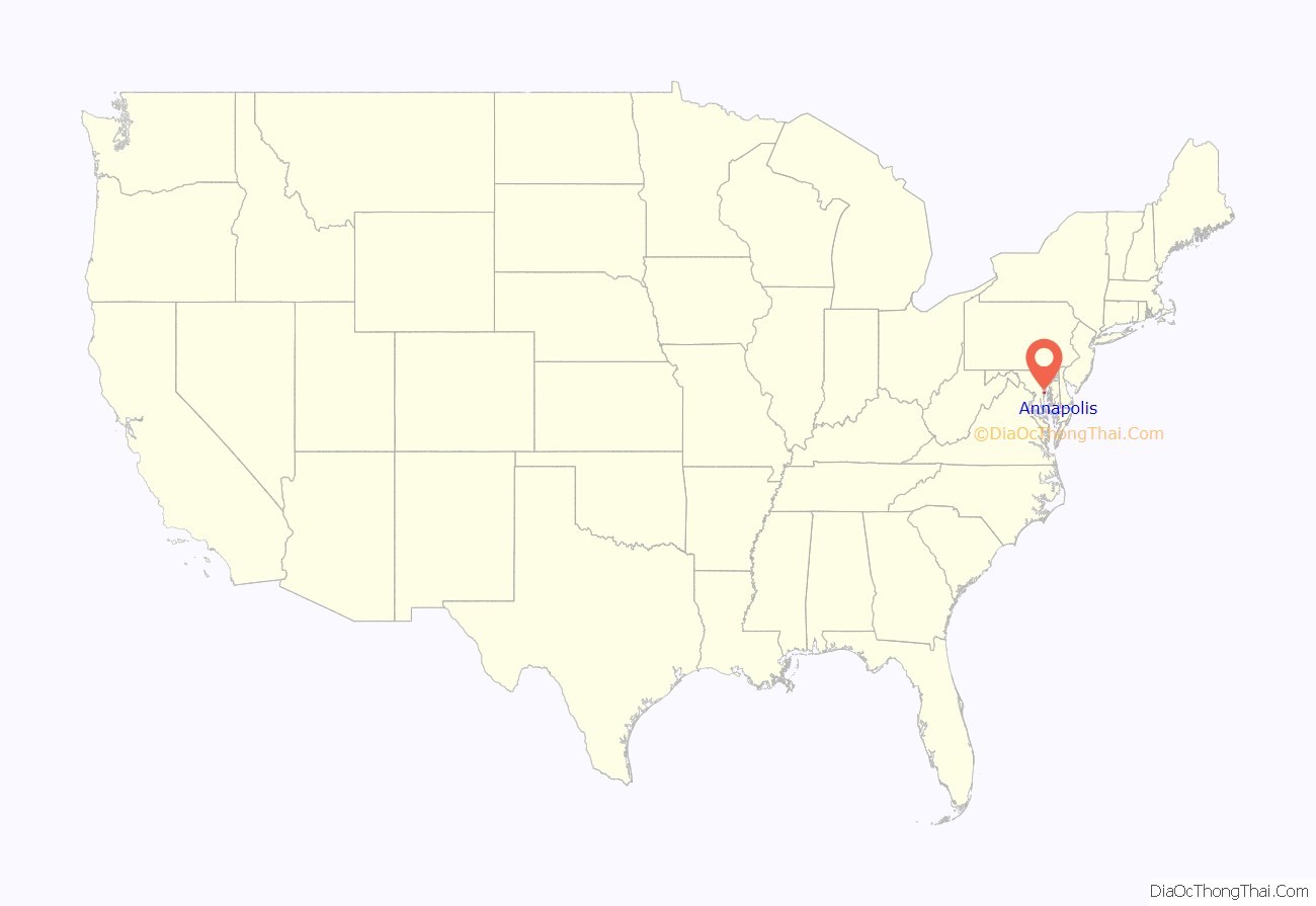
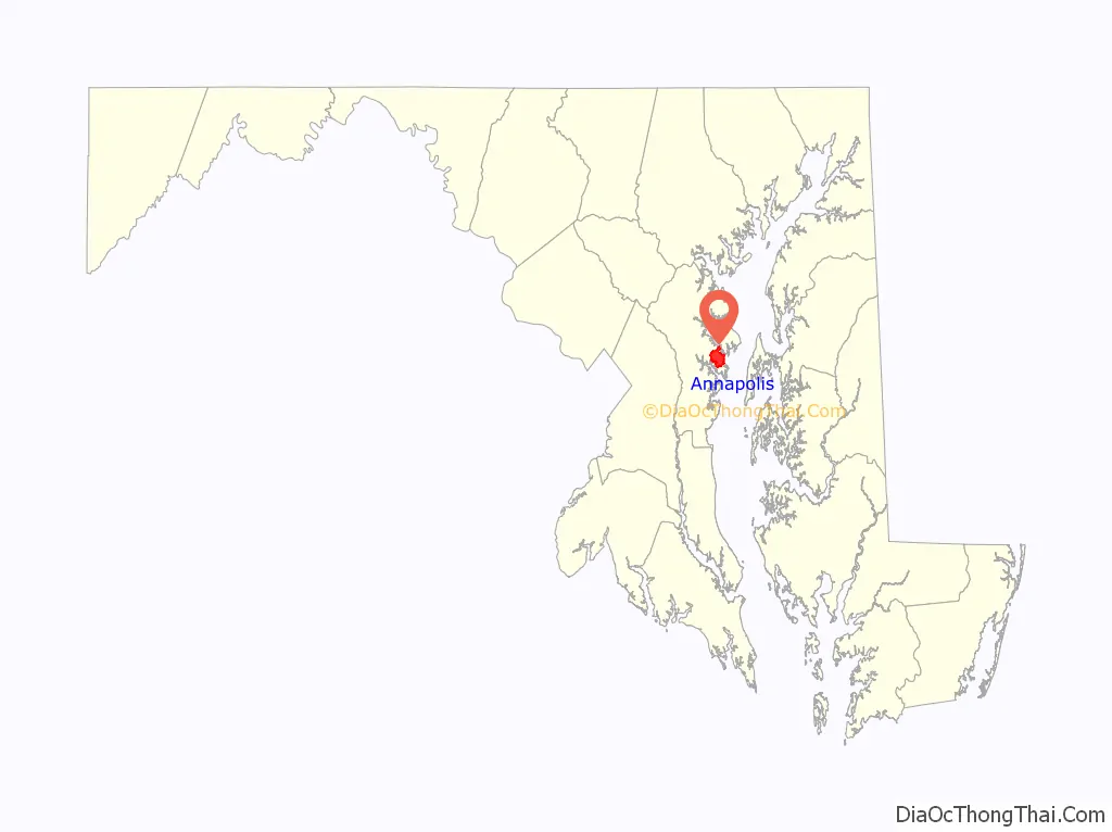
Annapolis location map. Where is Annapolis city?
History
Colonial and early United States (1649–1808)
A settlement in the Province of Maryland named “Providence” was founded on the north shore of the Severn River on the middle Western Shore of the Chesapeake Bay in 1649 by Puritan exiles from the Province/Dominion of Virginia led by the third Proprietary Governor of Maryland, William Stone (1603–1660). The settlers later moved to a better-protected harbor on the Severn’s southern shore. The settlement on the south shore, known from 1683 as “Town at Proctor’s”, then “Town at the Severn”, became in 1694 “Anne Arundel’s Towne” (after Lady Ann Arundell (1616–1649), the late wife of the late Cecilius Calvert, second Lord Baltimore, 1605–1675).
In 1654, after the Third English Civil War, Parliamentary forces assumed control of the Maryland colony and Stone went into exile south across the Potomac River in Virginia. Per orders from Lord Baltimore], Stone returned the following spring at the head of a Cavalier royalist force, loyal to the uncrowned King of England. On March 25, 1655, in what became known as the Battle of the Severn (the first colonial naval battle in North America), Stone was defeated, taken prisoner, and replaced by Lt. Gen. Josias Fendall (1628–1687) as fifth Proprietary Governor. Fendall governed Maryland during the latter half of the English Commonwealth period. In 1660, he was replaced by Phillip Calvert (1626–1682) as fifth/sixth Governor of Maryland, after the restoration of Charles II (1630–1685) as King in England.
In 1694, soon after the overthrow of the Catholic government of second Royal Governor Thomas Lawrence (1645–1714, in office for a few months in 1693), the third Royal Governor Francis Nicholson (1655-1727/28, in office: 1694–1698), moved the capital of the royal colony, the Province of Maryland, to Anne Arundel’s Towne and renamed the town “Annapolis” after Princess Anne of Denmark and Norway, soon to become Queen Anne of Great Britain (1665–1714, reigned 1702–1714). Annapolis was incorporated as a city in 1708. Colonel John Seymour, the Governor of Maryland from 1704 to 1709, wrote Queen Anne on March 16, 1709, with qualifications for municipal officials and provisions for fairs and market days for the town.
17th-century Annapolis was little more than a village, but it grew rapidly for most of the 18th century until the American Revolutionary War as a political and administrative capital, a port of entry, and a major center of the Atlantic slave trade. The Maryland Gazette, which became an important weekly journal, was founded there by Jonas Green in 1745; in 1769 a theatre opened; during this period also the commerce was considerable, but it declined rapidly after Baltimore, with its deeper harbor, was made a port of entry in 1780. Water trades such as oyster-packing, boatbuilding and sailmaking became the city’s chief industries. Annapolis is home to a large number of recreational boats that have largely replaced the seafood industry in the city.
Dr. Alexander Hamilton (1712–1756), a Scottish-born doctor and writer, lived and worked in Annapolis. Leo Lemay says his 1744 travel diary Gentleman’s Progress: The Itinerarium of Dr. Alexander Hamilton is “the best single portrait of men and manners, of rural and urban life, of the wide range of society and scenery in colonial America.”
Annapolis became the temporary capital of the United States after the signing of the Treaty of Paris in 1783. Congress was in session in the state house from November 26, 1783, to August 19, 1784, and it was in Annapolis on December 23, 1783, that General Washington resigned his commission as commander-in-chief of the Continental Army.
For the 1783 Congress, the Governor of Maryland commissioned John Shaw, a local cabinetmaker, to create an American flag. Shaw’s flag is slightly different from other designs of the time: the blue field extends over the entire height of the hoist. Shaw developed two versions of the flag: one which started with a red stripe and another that started with a white one.
In 1786, delegates from all states of the Union were invited to meet in Annapolis to consider measures for the better regulation of commerce. Delegates from only five states—New York, Pennsylvania, Virginia, New Jersey, and Delaware—actually attended the September 1786 gathering, known afterward as the “Annapolis Convention”. Without proceeding to the business for which they had met, the delegates passed a resolution calling for another convention to meet at Philadelphia in the following year to amend the Articles of Confederation. The resulting Philadelphia convention drafted and approved the Constitution of the United States, which remains in force.
Civil War era (1849 – late 1800s)
On April 24, 1861, the midshipmen of the Naval Academy relocated their base in Annapolis and were temporarily housed in Newport, Rhode Island, until October 1865.
In 1861, the first of three camps that were built for holding paroled soldiers was created on the campus of St. John’s College. The second location of Camp Parole would house over 20,000 and would be located where Forest Drive is currently. The third and final location was finished in late 1863 and would be placed near the Elkridge Railroad, as to make transportation of soldiers and resources easier before and allowing the camp to grow to its highest numbers. This area just west of the city is still referred to as Parole. The soldiers who did not survive were buried in the Annapolis National Cemetery.
Contemporary era
In 1900, Annapolis had a population of 8,585. On December 21, 1906, Henry Davis was lynched in the city. He was suspected of assaulting a local woman. Nobody was ever tried for the crime.
During World War II, shipyards in Annapolis built a number of PT Boats, and military vessels such as minesweepers and patrol boats were built in Annapolis during the Korean and Vietnam wars. It was at Annapolis in July 1940 that Grand Duchess Charlotte of Luxembourg arrived in exile during World War II.
In the summer of 1984, the Navy Marine Corps Memorial Stadium in Annapolis hosted soccer games as part of the XXIII Olympiad.
During September 18–19, 2003, Hurricane Isabel created the largest storm surge known in Annapolis’s history, cresting at 7.58 feet (2.31 m). Much of downtown Annapolis was flooded and many businesses and homes in outlying areas were damaged. The previous record was 6.35 feet (1.94 m) during a hurricane in 1933, and 5.5 feet (1.7 m) during Hurricane Hazel in 1954. Downtown Annapolis has high-tide “sunny day” flooding. A Stanford University study found that this resulted in 3,000 less visits and $172,000 in lost revenue for local business in 2017.
From mid-2007 through December 2008, the city celebrated the 300th anniversary of its 1708 Royal Charter, which established democratic self-governance. The many cultural events of this celebration were organized by Annapolis Charter 300.
Annapolis was home of the Anne Arundel County Battle of the Bands, which was held at Maryland Hall from 1999 to 2015. The event was a competition between musical groups from each high school in the county; it raised over $100,000 for the county’s high school music programs during its 17-year run.
On June 28, 2018, at the Capital Gazette, a gunman opened fire, killing five journalists and injuring two more.
An EF-2 tornado struck the western edge of the city on September 1, 2021, during the remnants of Hurricane Ida. Homes, businesses, and restaurants had significant damage near Maryland Route 450, where EF-2 damage was observed with estimated winds of 125 mph. The tornado dissipated immediately past U.S. Route 50 and U.S. Route 301.
As announced by United States Secretary of State Condoleezza Rice, Annapolis was the venue for a Middle East summit dealing with the Israeli–Palestinian peace process, with the participation of Israeli Prime Minister Ehud Olmert, Palestinian President Mahmoud Abbas (“Abu Mazen”) and various other leaders from the region. The conference was held at the United States Naval Academy on November 26, 2007.
Historic institutions
The Maryland State House is the oldest in continuous legislative use in the United States. Construction started in 1772, and the Maryland legislature first met there in 1779. It is topped by the largest wooden dome built without nails in the country. The Maryland State House housed the workings of the United States government from November 26, 1783, to August 13, 1784, and the Treaty of Paris was ratified there on January 14, 1784, so Annapolis became the first peacetime capital of the U.S.
It was in the Maryland State House that George Washington famously resigned his commission before the Continental Congress on December 23, 1783.
The United States Naval Academy was founded in 1845 on the site of Fort Severn, and now occupies an area of land reclaimed from the Severn River. Students that attend the Naval Academy are enrolled for four years with a following five year commitment to serving on active duty in the Marine Corps or Navy. Students hold the naval rank of Midshipman, and on average about 4,500 are enrolled.
St. John’s College is a non-sectarian private college that was once supported by the state. It was opened in 1789 as the successor of King William’s School, which was founded by an act of the Maryland legislature in 1696 and was opened in 1701. Its principal building, McDowell Hall, was originally to be the governor’s mansion; although £4,000 was appropriated to build it in 1742, it was not completed until after the War of Independence.
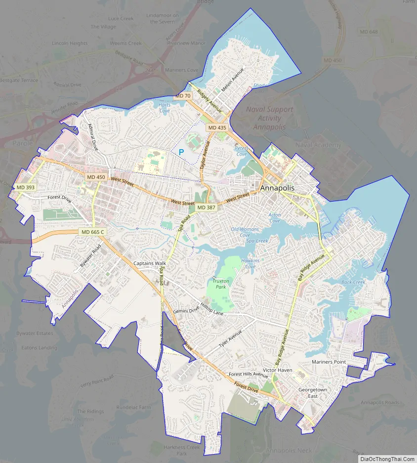
Annapolis Road Map
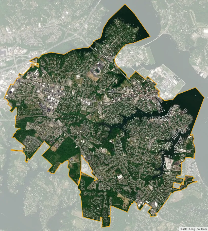
Annapolis city Satellite Map
Geography
Located 25 miles (40 km) south of Baltimore and 30 miles (48 km) east of Washington, D.C., Annapolis is the closest state capital to the national capital.
Climate
The city is a part of the Atlantic Coastal Plain, and is relatively flat, with the highest point being only 50 feet (15 m) above sea level.
According to the United States Census Bureau, the city has a total area of 8.10 square miles (20.98 km), of which 7.18 square miles (18.60 km) is land and 0.92 square miles (2.38 km) is water.
Annapolis lies within the humid subtropical climate zone (Köppen Cfa), with hot, humid summers, cool winters, and generous precipitation year-round. Low elevation and proximity to the Chesapeake Bay give the area more moderate spring and summertime temperatures and slightly less extreme winter lows than locations further inland, such as Washington, D.C.
Tidal flooding
In November 2020, NASA reported that Annapolis had 18 days of high-tide (non-storm-related) flooding from May 2019 to April 2020, an increase over 2018’s 12 days, and higher than the 1995-2005 average of 2 days annually. The increase is attributed to sea level rise caused by climate change. Resultant flood damages caused local businesses to lose as much as $172,000 a year. On Naval Academy grounds, seawater came out of storm drains, with McNair Road and Ramsay Road flooding 20 times in 2020 and more than 40 times each in 2018 and 2019. Adaptation approaches such as sea walls and building up the height of roadways and athletic fields are predicted to last only a few decades.
Neighborhoods and suburbs
- Admiral Heights
- Arnold
- Arundel on the Bay
- Cape St. Claire
- Church Circle and St. Anne’s Church (Episcopal /Anglican), central Annapolis with Anne Arundel County Courthouse (1812) with series of rear annexes.
- Crofton
- Crownsville
- Eastport
- Edgewater
- Highland Beach
- Gambrills
- Hillsmere Shores
- Londontowne
- Main Street, City Dock and City Markethouse on waterfront
- Millersville
- Naval Academy
- Odenton
- Parole – Former site of Civil War era prisoner-of-war exchange of Camp Parole, 1861–1865, later 20th century residential and commercial development including first area shopping center of Parole Center in 1960s.
- Riva
- St. Margaret’s
- State Circle and Maryland Avenue – Site of Maryland State House (Capitol) of 1770s-1780s with adjacent state office buildings for General Assembly (state legislature), executive departments, Lawyer’s Mall civic plaza along Bladen Boulevard and Government House (Governor’s Mansion) and U.S. Post Office building for Annapolis
- West Annapolis
- West Street / Arts District
See also
Map of Maryland State and its subdivision: Map of other states:- Alabama
- Alaska
- Arizona
- Arkansas
- California
- Colorado
- Connecticut
- Delaware
- District of Columbia
- Florida
- Georgia
- Hawaii
- Idaho
- Illinois
- Indiana
- Iowa
- Kansas
- Kentucky
- Louisiana
- Maine
- Maryland
- Massachusetts
- Michigan
- Minnesota
- Mississippi
- Missouri
- Montana
- Nebraska
- Nevada
- New Hampshire
- New Jersey
- New Mexico
- New York
- North Carolina
- North Dakota
- Ohio
- Oklahoma
- Oregon
- Pennsylvania
- Rhode Island
- South Carolina
- South Dakota
- Tennessee
- Texas
- Utah
- Vermont
- Virginia
- Washington
- West Virginia
- Wisconsin
- Wyoming


