Centreville is an incorporated town in Queen Anne’s County, Maryland, United States on the Delmarva Peninsula. Incorporated in 1794, it is the county seat of Queen Anne’s County. The population was 4,285 at the 2010 census. The ZIP code is 21617 and the area codes are 410 and 443. The primary local telephone exchange is 758. It hosts the Queen Anne’s County Fair each summer and was home to three franchises during the existence of the Eastern Shore Baseball League—the Colts, Red Sox, and Orioles.
| Name: | Centreville town |
|---|---|
| LSAD Code: | 43 |
| LSAD Description: | town (suffix) |
| State: | Maryland |
| County: | Queen Anne’s County |
| Incorporated: | 1794 |
| Elevation: | 49 ft (15 m) |
| Total Area: | 2.74 sq mi (7.09 km²) |
| Land Area: | 2.74 sq mi (7.09 km²) |
| Water Area: | 0.00 sq mi (0.00 km²) |
| Total Population: | 4,727 |
| Population Density: | 1,727.07/sq mi (666.74/km²) |
| ZIP code: | 21617 |
| Area code: | 410 |
| FIPS code: | 2414950 |
| GNISfeature ID: | 0597212 |
| Website: | www.townofcentreville.org |
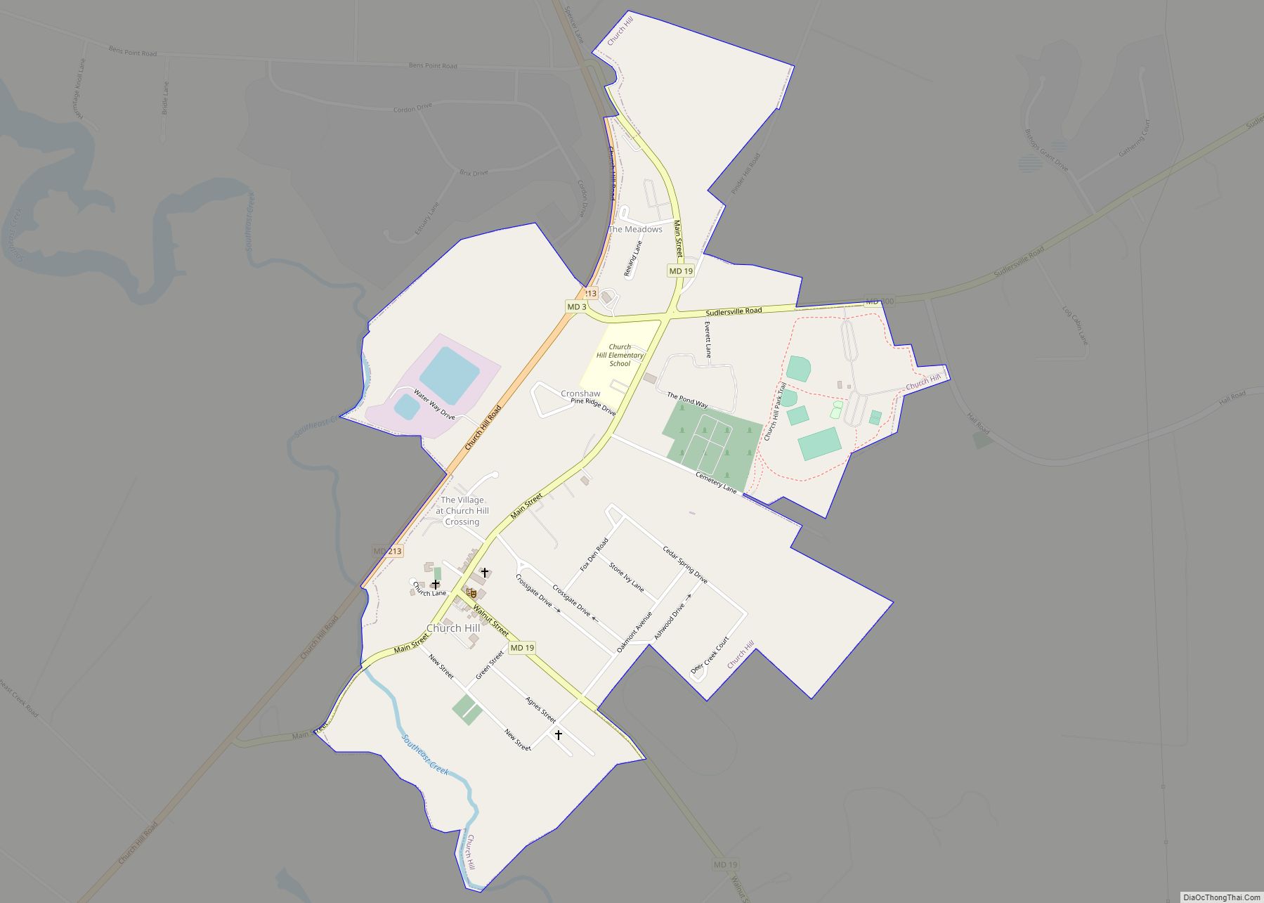
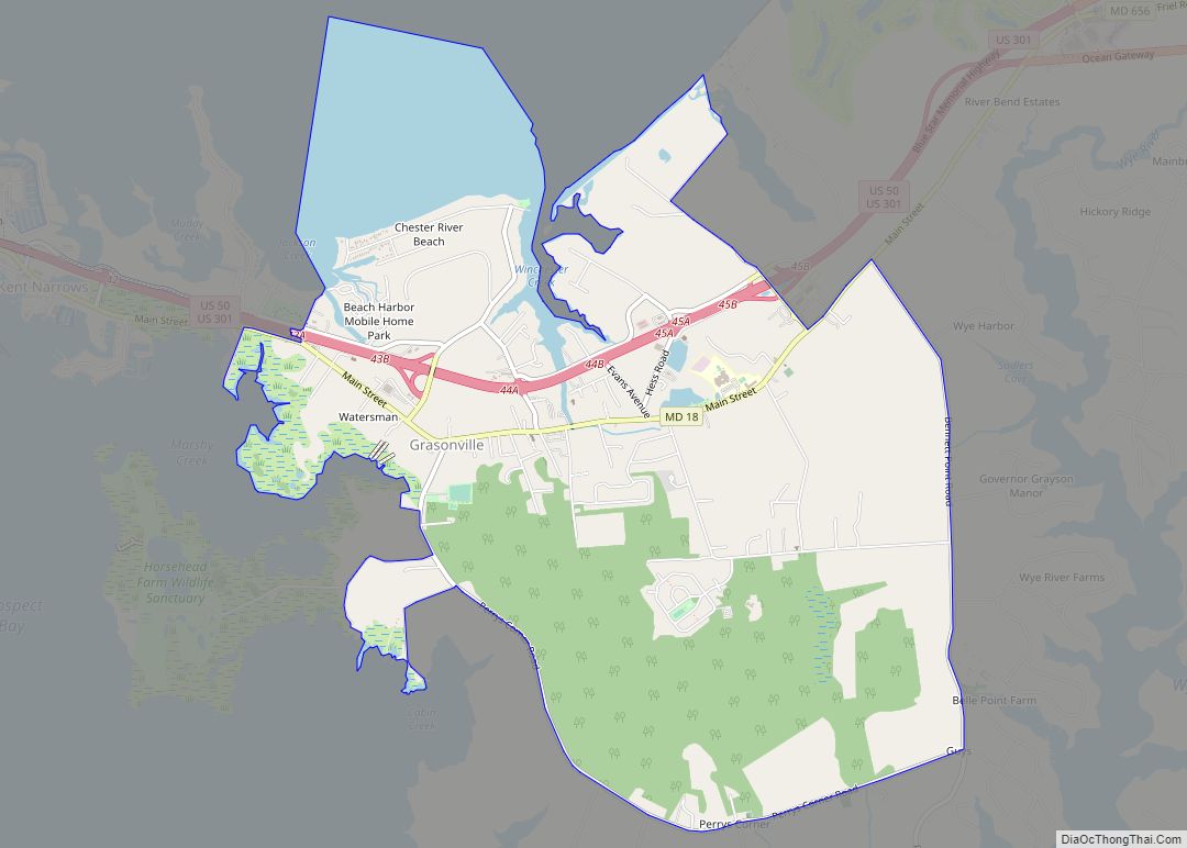
Online Interactive Map
Click on ![]() to view map in "full screen" mode.
to view map in "full screen" mode.
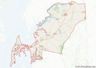
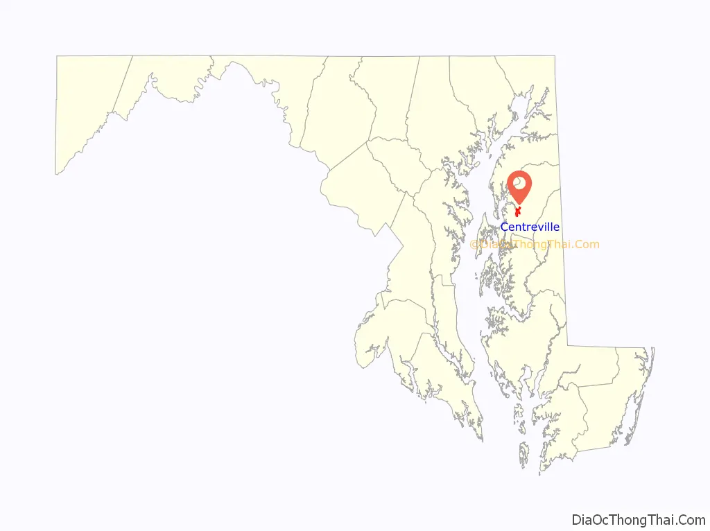
Centreville location map. Where is Centreville town?

History
Centreville’s name was derived from the relocation of the county seat in 1782 from Queenstown to a more central part of the county.
Saint Paul’s Parish was established on the site that would later become known as Centreville, Maryland. It was almost 100 years later, in 1782, that the Maryland State Assembly passed an Act to relocate both the courthouse and all government functions of the county to Centreville from Queenstown, making Centreville the new county seat.
However, it took a decade for the appropriate land to be acquired and for the change to take place. A plantation called Chesterfield was chosen as the land to use for the new town which would hold the county’s courthouse. Once the town and court house were completed, on the first of June 1796, the county court, “ordered [the courthouse] to be ‘taken, held and deemed to be the proper Court House of Queen Anne’s County’”.
In 1782, the Queen Anne’s county courthouse was moved from its original location in Queenstown, Maryland to an area that would, twelve years later, be named Centreville. The building’s location, at the head of the Corsica River, encouraged population growth in the area.
Centreville became an incorporated town in 1794, two years after the courthouse was completed. At the same time, the town laid out, including four streets that remain today: MD 213, S. Liberty St., N. Commerce St., Water St. (MD 304).
Once Centreville was officially home to Queen Anne’s county government, lawmakers and officials decided it was appropriate to name the new town in accordance with the new location. Centreville (named partly due to the town’s central location) was also chosen because of its prime location on the Corsica River. Easy access to shipping, trading, and naval waters allowed the town to flourish and to become an important Maryland location.
Today, Centreville is the largest town in Queen Anne’s county, with a population of 2,097. 2017 has become an all time high for the small town, with a population of 4,767. The Maryland Municipal League’s Website, “The Association of Cities and Towns”, notes that Centreville’s, “[h]istory is reflected in the diverse architecture seen along the streets of the town—elegant Victorian homes with their wrap-around porches, neo-classical public buildings, late-19th-century commercial rows, late-20th-century institutional and government structures, and all the variations and curiosities in between”.
Much of the town was added to the National Register of Historic Places as the Centreville Historic District in 2004.
In addition to the Centreville Historic District, Bachelor’s Hope, Captain’s Houses, Centreville Armory, Jackson Collins House, Content, Female Seminary, Keating House, Lansdowne, Lexon, Capt. John H. Ozmon Store, Readbourne, Reed’s Creek Farm, and Stratton are listed on the National Register of Historic Places.
“Centreville was the home of American Impressionist painters Charles M. West and Anne Warner West. Charles was born in Centreville and educated at the Pennsylvania Academy of Fine Arts where he met fellow student Anne Dickie Warner, a native of Wilmington, Delaware. The West Gallery includes a collection of their paintings, many depicting local subjects such as watermen at work, historic buildings and daily life in Centreville.” Charles taught painting and sculpture at Washington College in Chestertown, Maryland and is best known for his painting “The Narrows” which was exhibited alongside Edward Hopper and Georgia O’Keeffe
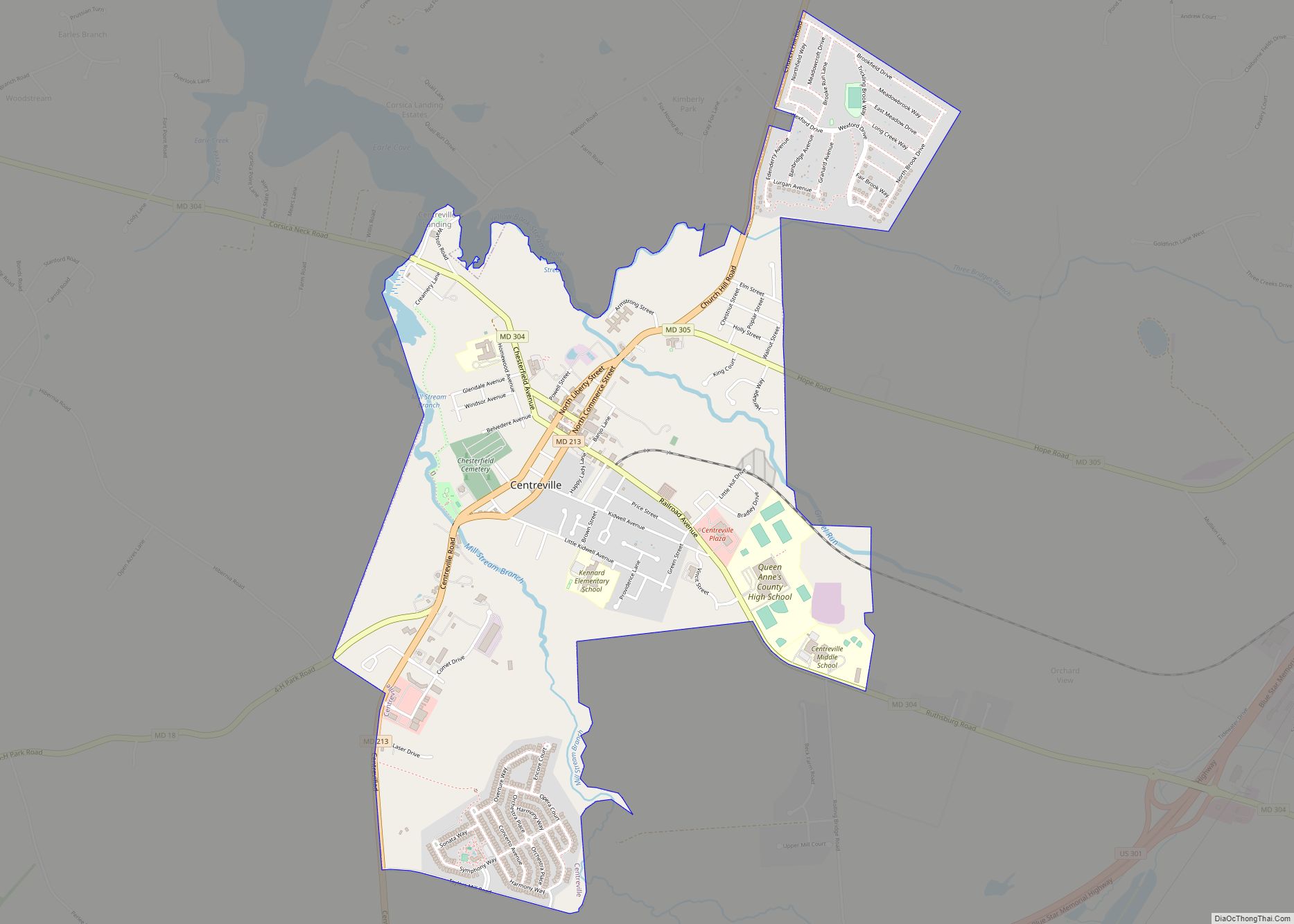
Centreville Road Map
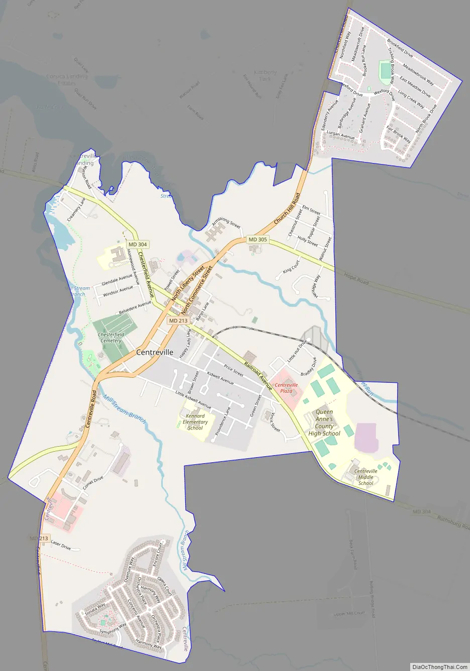
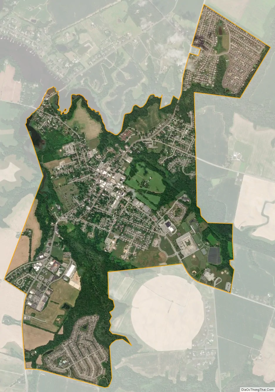
Centreville city Satellite Map
Geography
Centreville is located at 39°2′46″N 76°3′52″W / 39.04611°N 76.06444°W / 39.04611; -76.06444 (39.046206, −76.064345).
According to the United States Census Bureau, the town has a total area of 2.45 square miles (6.35 km), all land.
See also
Map of Maryland State and its subdivision: Map of other states:- Alabama
- Alaska
- Arizona
- Arkansas
- California
- Colorado
- Connecticut
- Delaware
- District of Columbia
- Florida
- Georgia
- Hawaii
- Idaho
- Illinois
- Indiana
- Iowa
- Kansas
- Kentucky
- Louisiana
- Maine
- Maryland
- Massachusetts
- Michigan
- Minnesota
- Mississippi
- Missouri
- Montana
- Nebraska
- Nevada
- New Hampshire
- New Jersey
- New Mexico
- New York
- North Carolina
- North Dakota
- Ohio
- Oklahoma
- Oregon
- Pennsylvania
- Rhode Island
- South Carolina
- South Dakota
- Tennessee
- Texas
- Utah
- Vermont
- Virginia
- Washington
- West Virginia
- Wisconsin
- Wyoming