Hamilton is a city that serves as the county seat of Ravalli County, Montana, United States. The population was 4,659 at the 2020 census.
| Name: | Hamilton city |
|---|---|
| LSAD Code: | 25 |
| LSAD Description: | city (suffix) |
| State: | Montana |
| County: | Ravalli County |
| Elevation: | 3,570 ft (1,090 m) |
| Total Area: | 2.60 sq mi (6.73 km²) |
| Land Area: | 2.54 sq mi (6.58 km²) |
| Water Area: | 0.06 sq mi (0.15 km²) |
| Total Population: | 4,659 |
| Population Density: | 1,832.81/sq mi (707.68/km²) |
| ZIP code: | 59840 |
| Area code: | 406 |
| FIPS code: | 3033775 |
| GNISfeature ID: | 0784496 |
| Website: | www.cityofhamilton.net |
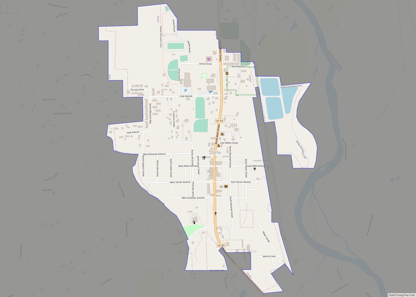
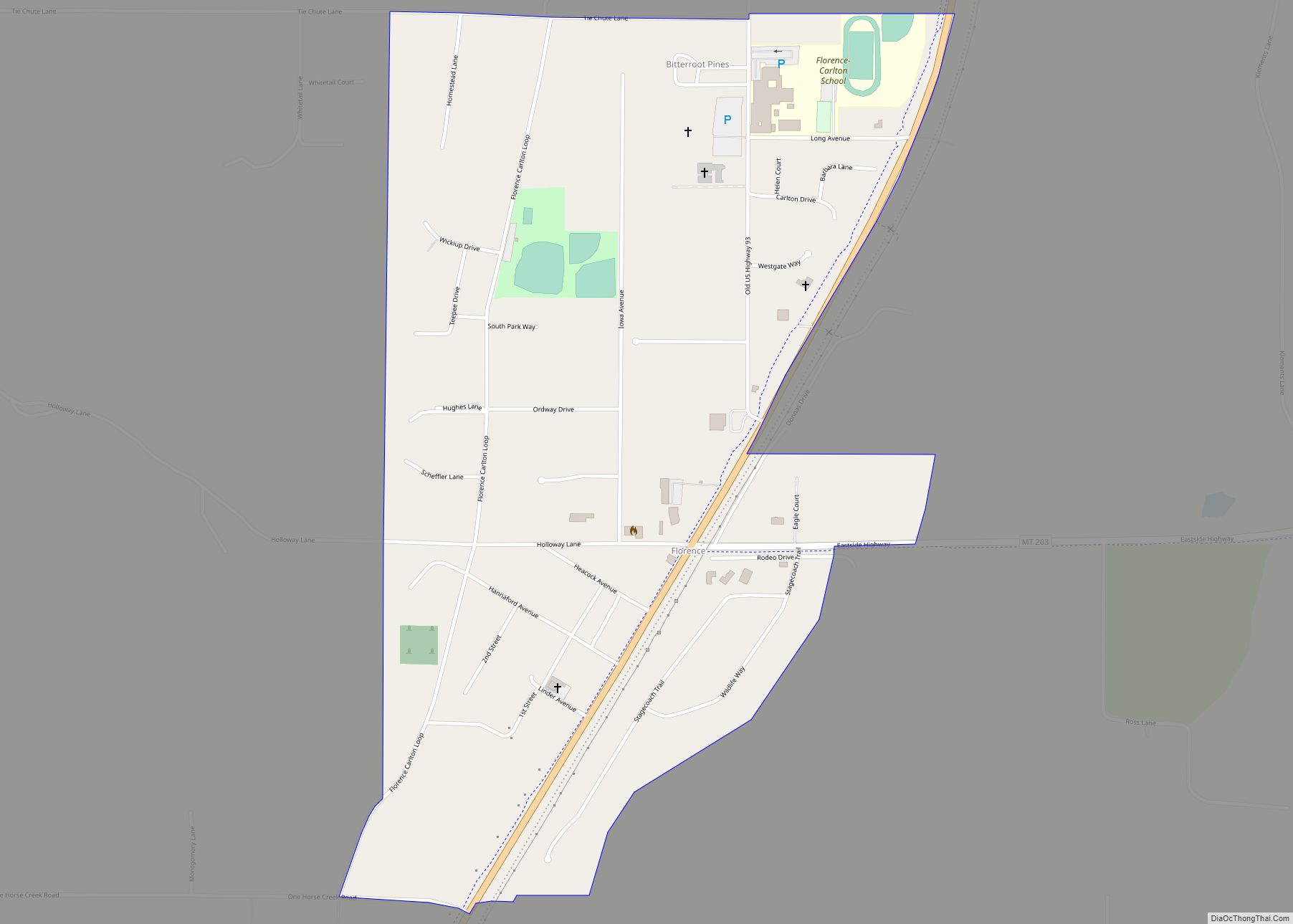
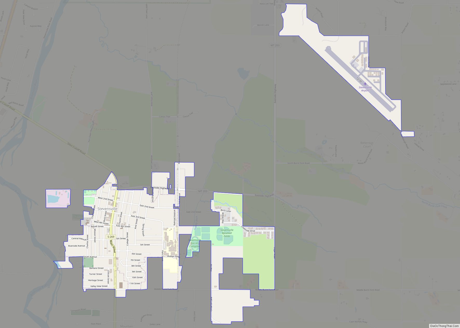
Online Interactive Map
Click on ![]() to view map in "full screen" mode.
to view map in "full screen" mode.
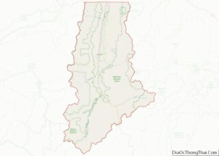
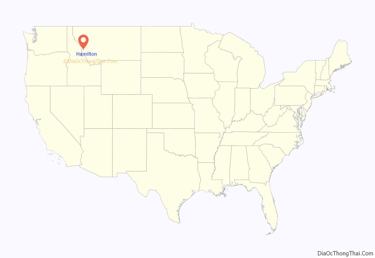
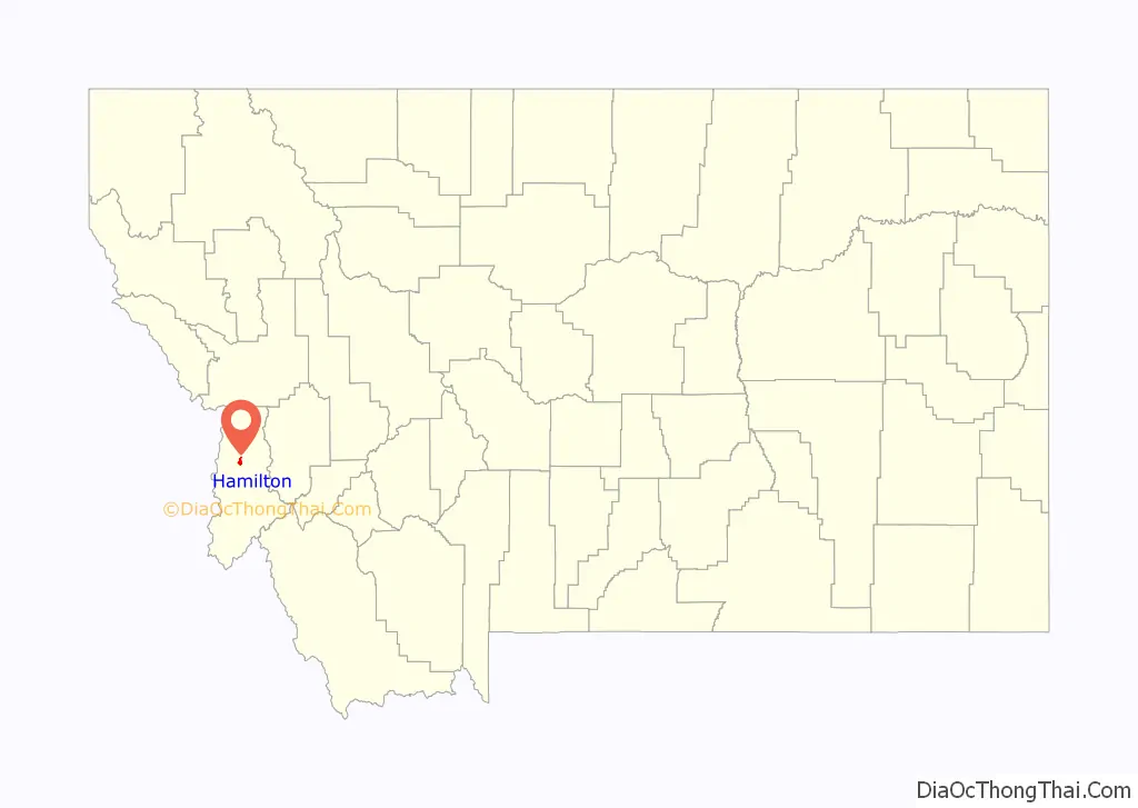
Hamilton location map. Where is Hamilton city?
History
Hamilton was founded by copper king Marcus Daly in the late 19th century. It was named for J.W. Hamilton, who provided the right-of-way to the railroad. Daly is said to have wanted to begin business in the then county seat of Grantsdale, but was denied the opportunity. He supposedly founded Hamilton out of his own pocket as a reaction to being rebuffed at Grantsdale.
The Ravalli County Museum, founded in 1955, is located in the former Ravalli County Courthouse and focuses on County history, natural history and art.
In the summer of 2000, Hamilton made international headlines when forest fires throughout the Bitterroot Valley filled the area with smoke and prompted the evacuation of many residents. President Clinton declared a state of emergency in the area and dispatched National Guard troops to assist with fighting the fires.
Hamilton is, as of 2004, home to two microbiological research and production facilities: the government-run Rocky Mountain Laboratories, and a branch of the Corixa Corporation (bought in the late 1990s from Ribi ImmunoChem Research, Inc.). The Corixa Corporation was bought by GlaxoSmithKline in 2005. NIAID (National Institute of Allergy and Infectious Diseases) completed construction of a Biosafety Level 4 biohazard laboratory as part of the Rocky Mountain Laboratories (RML) facility in 2008. This facility has begun operations using highly-pathogenic organisms including the Lentivirus family of viruses.
Hamilton had one of the last remaining Kmart stores in the United States, which was the only remaining one in the state of Montana and the entire Mountain time zone. However, plans to close the Kmart store were announced in January 2022, with its final day of business conducted on March 6, 2022.
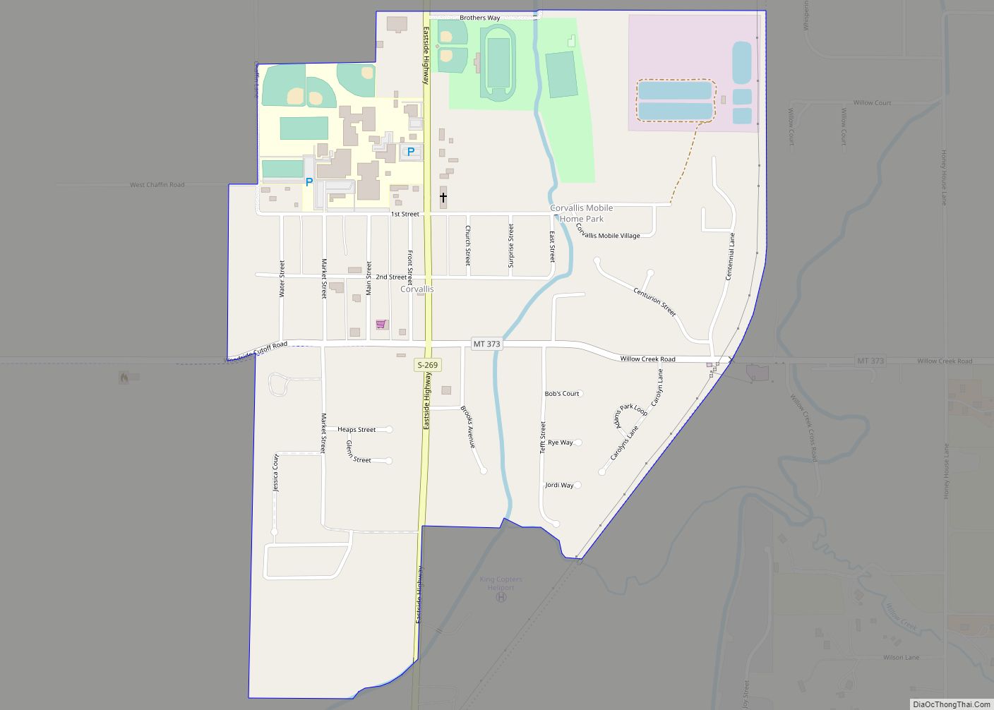
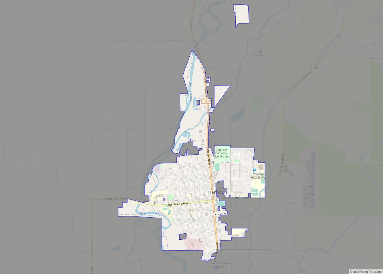
Hamilton Road Map

Hamilton city Satellite Map

Geography
Hamilton is located at 46°14′54″N 114°9′35″W / 46.24833°N 114.15972°W / 46.24833; -114.15972 (46.248412, -114.159852).
According to the United States Census Bureau, the city has a total area of 2.57 square miles (6.66 km), of which 2.53 square miles (6.55 km) is land and 0.04 square miles (0.10 km) is water.
According to the Köppen climate classification, Hamilton has a humid continental climate.
See also
Map of Montana State and its subdivision:- Beaverhead
- Big Horn
- Blaine
- Broadwater
- Carbon
- Carter
- Cascade
- Chouteau
- Custer
- Daniels
- Dawson
- Deer Lodge
- Fallon
- Fergus
- Flathead
- Gallatin
- Garfield
- Glacier
- Golden Valley
- Granite
- Hill
- Jefferson
- Judith Basin
- Lake
- Lewis and Clark
- Liberty
- Lincoln
- Madison
- McCone
- Meagher
- Mineral
- Missoula
- Musselshell
- Park
- Petroleum
- Phillips
- Pondera
- Powder River
- Powell
- Prairie
- Ravalli
- Richland
- Roosevelt
- Rosebud
- Sanders
- Sheridan
- Silver Bow
- Stillwater
- Sweet Grass
- Teton
- Toole
- Treasure
- Valley
- Wheatland
- Wibaux
- Yellowstone
- Alabama
- Alaska
- Arizona
- Arkansas
- California
- Colorado
- Connecticut
- Delaware
- District of Columbia
- Florida
- Georgia
- Hawaii
- Idaho
- Illinois
- Indiana
- Iowa
- Kansas
- Kentucky
- Louisiana
- Maine
- Maryland
- Massachusetts
- Michigan
- Minnesota
- Mississippi
- Missouri
- Montana
- Nebraska
- Nevada
- New Hampshire
- New Jersey
- New Mexico
- New York
- North Carolina
- North Dakota
- Ohio
- Oklahoma
- Oregon
- Pennsylvania
- Rhode Island
- South Carolina
- South Dakota
- Tennessee
- Texas
- Utah
- Vermont
- Virginia
- Washington
- West Virginia
- Wisconsin
- Wyoming