Stevensville (Salish: ɫq̓éɫmlš) is a town in Ravalli County, Montana, United States. The population was 2,002 at the 2020 census.
Stevensville is officially recognized as the first permanent settlement of non-indigenous peoples in the state of Montana. Forty-eight years before Montana became the nation’s 41st state, Stevensville was settled by Jesuit Missionaries at the request of the Bitterroot Salish tribe.
| Name: | Stevensville town |
|---|---|
| LSAD Code: | 43 |
| LSAD Description: | town (suffix) |
| State: | Montana |
| County: | Ravalli County |
| Elevation: | 3,323 ft (1,013 m) |
| Total Area: | 1.31 sq mi (3.40 km²) |
| Land Area: | 1.29 sq mi (3.35 km²) |
| Water Area: | 0.02 sq mi (0.05 km²) |
| Total Population: | 2,002 |
| Population Density: | 1,545.95/sq mi (596.90/km²) |
| ZIP code: | 59870 |
| Area code: | 406 |
| FIPS code: | 3071200 |
| GNISfeature ID: | 2413335 |
| Website: | www.townofstevensville.com |
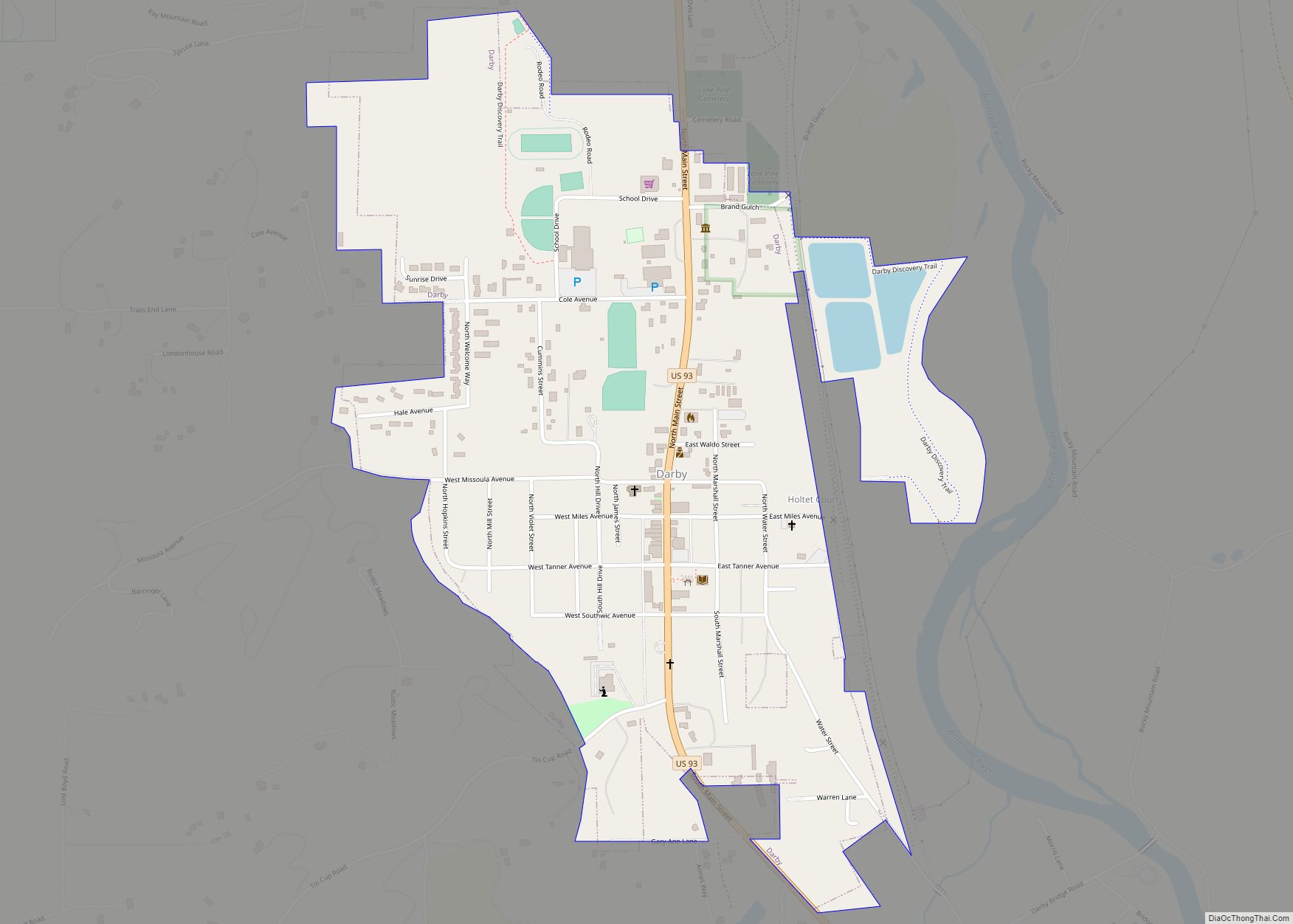
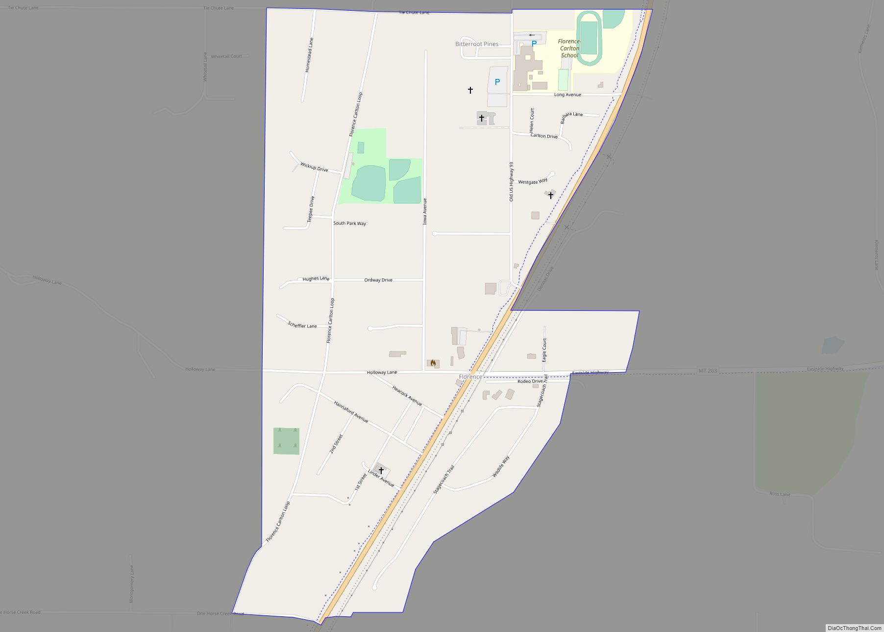
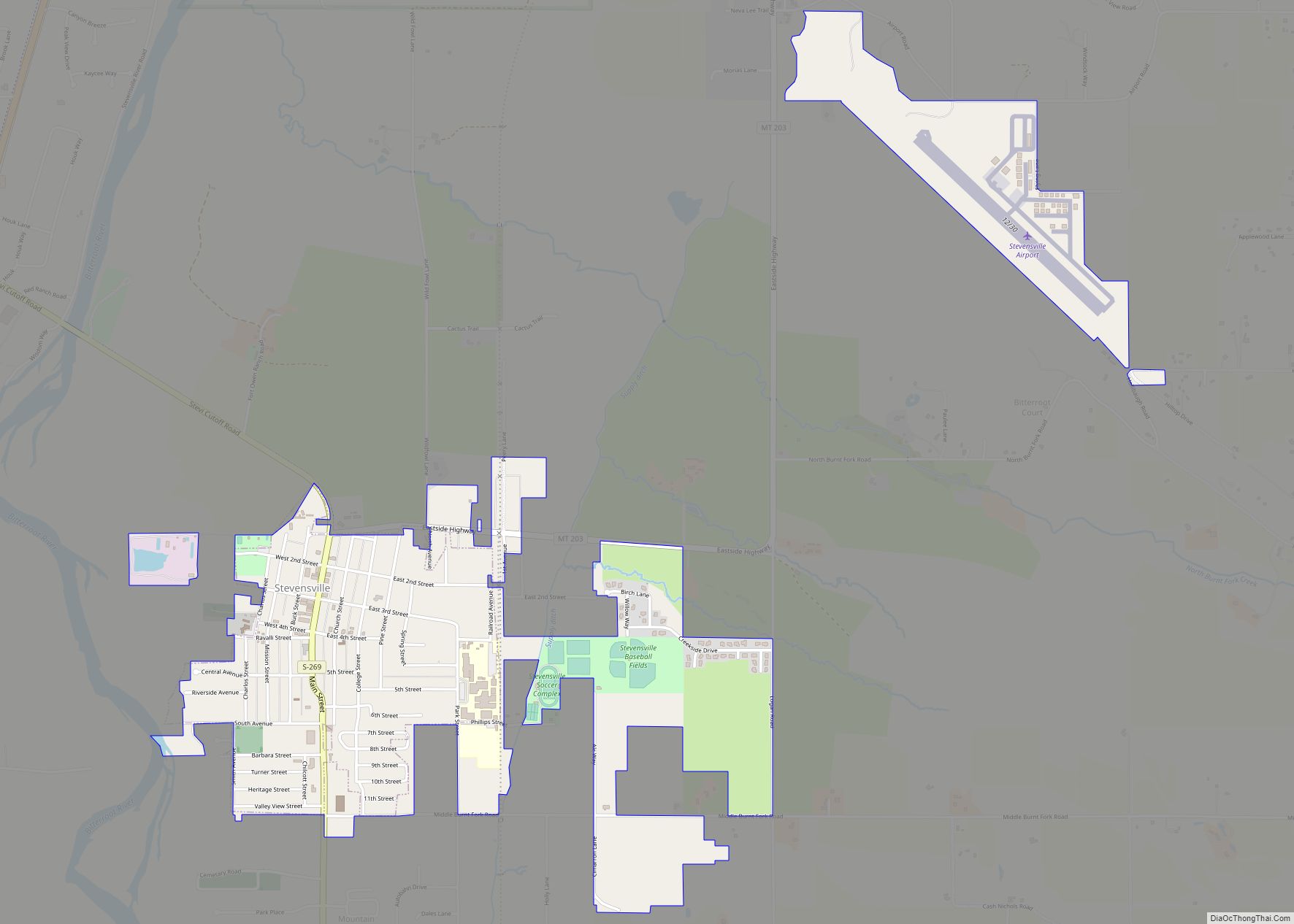
Online Interactive Map
Click on ![]() to view map in "full screen" mode.
to view map in "full screen" mode.
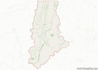
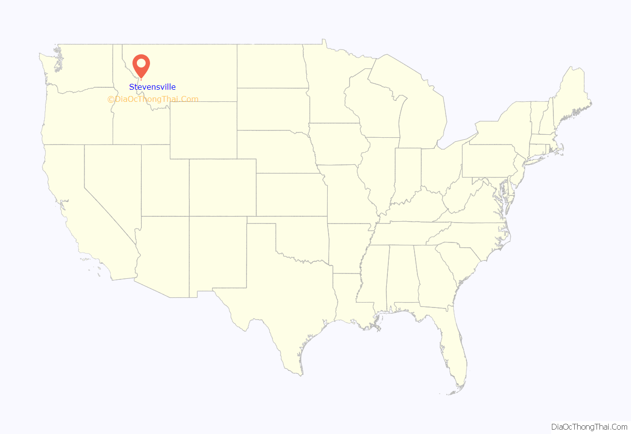
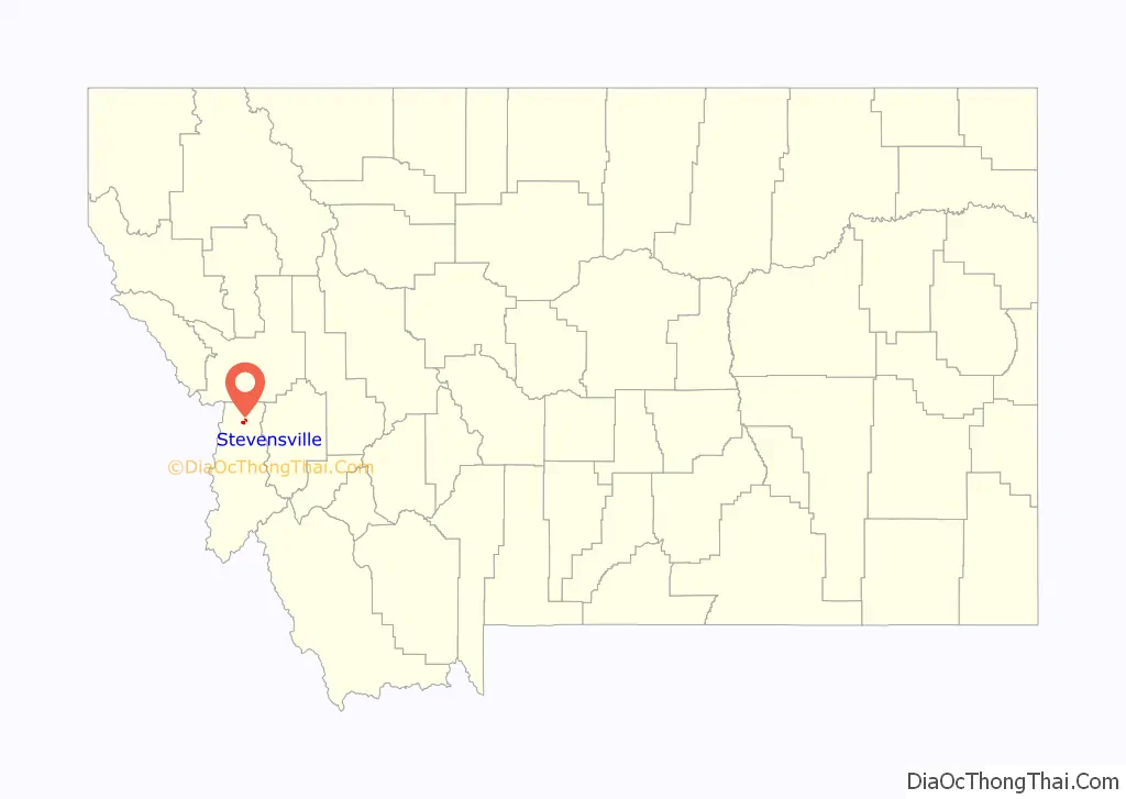
Stevensville location map. Where is Stevensville town?
History
The Bitterroot Valley is the ancestral homeland of the Bitterroot Salish people. Between 1812 and 1821, the Salish learned about the “powerful medicine” of Christianity and Jesuit missionaries from Iroquois fur traders. In 1831, four young Salish men were dispatched to St. Louis, Missouri, to request “Black Robes” for the tribe. The four Salish men were directed to the home and office of William Clark (of Lewis and Clark fame) to make their request. At that time Clark was in charge of administering the territory they called home. Through the perils of their trip, two of the Salish died at the home of General Clark. The remaining two Salish men secured a visit with St. Louis Bishop Joseph Rosati, who assured them that missionaries would be sent to the Bitterroot Valley when funds and missionaries were available in the future.
Again in 1835 and 1837 the Bitterroot Salish dispatched men to St. Louis to request missionaries, but to no avail. Finally in 1839 a group of Iroquois and Salish met Father Pierre-Jean De Smet in Council Bluffs. The meeting resulted in Fr. DeSmet promising to fulfill their request for a missionary the following year.
In 1841, DeSmet led a group of Jesuits to the Bitterroot and founded St. Mary’s Mission. It became the first permanent white settlement in what is now Montana. Construction of a chapel began immediately, followed by other permanent structures including log cabins. The settlement was the site of many of Montana’s “firsts”: irrigation, agriculture, ranching, and cattle branding. Father Ravalli, Jesuit priest and physician, arrived at the mission in 1845 and built the first pharmacy.
In 1850 Major John Owen arrived in the valley and set up camp north of St. Mary’s. When Blackfeet raids forced the closure of the mission, Owen bought it from the Jesuits and established a trading post called Fort Owen. The Jesuits later returned to the area and built a new church. Both St. Mary’s Mission and Fort Owen still have permanent structures that stand in present-day Stevensville, denoting its historical past starting in 1841.
The name of the settlement was changed from St. Mary’s to Stevensville in 1864 to honor territorial governor Isaac Stevens. In 1879, G. A. Kellogg platted the townsite. In 1891, the Bitterroot Salish who remained in the valley were forced to remove to the Flathead Indian Reservation. In 1893, Ravalli County was created, and Stevensville became the county seat until 1898, when the town lost the election to Hamilton. More than forty properties in Stevensville are listed on the National Register of Historic Places.
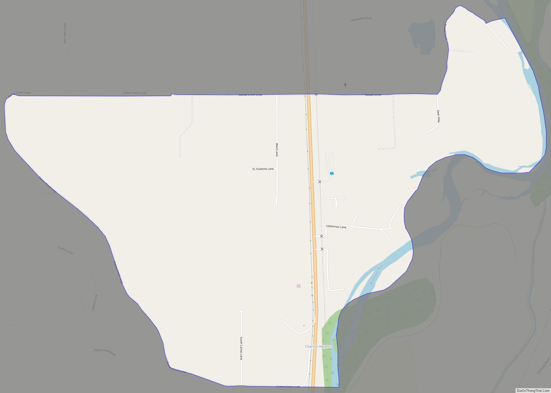
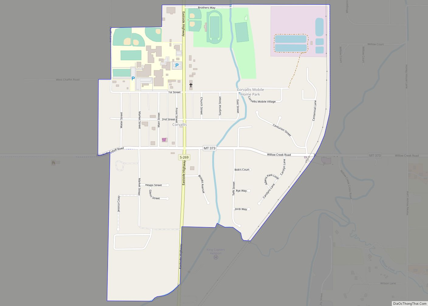
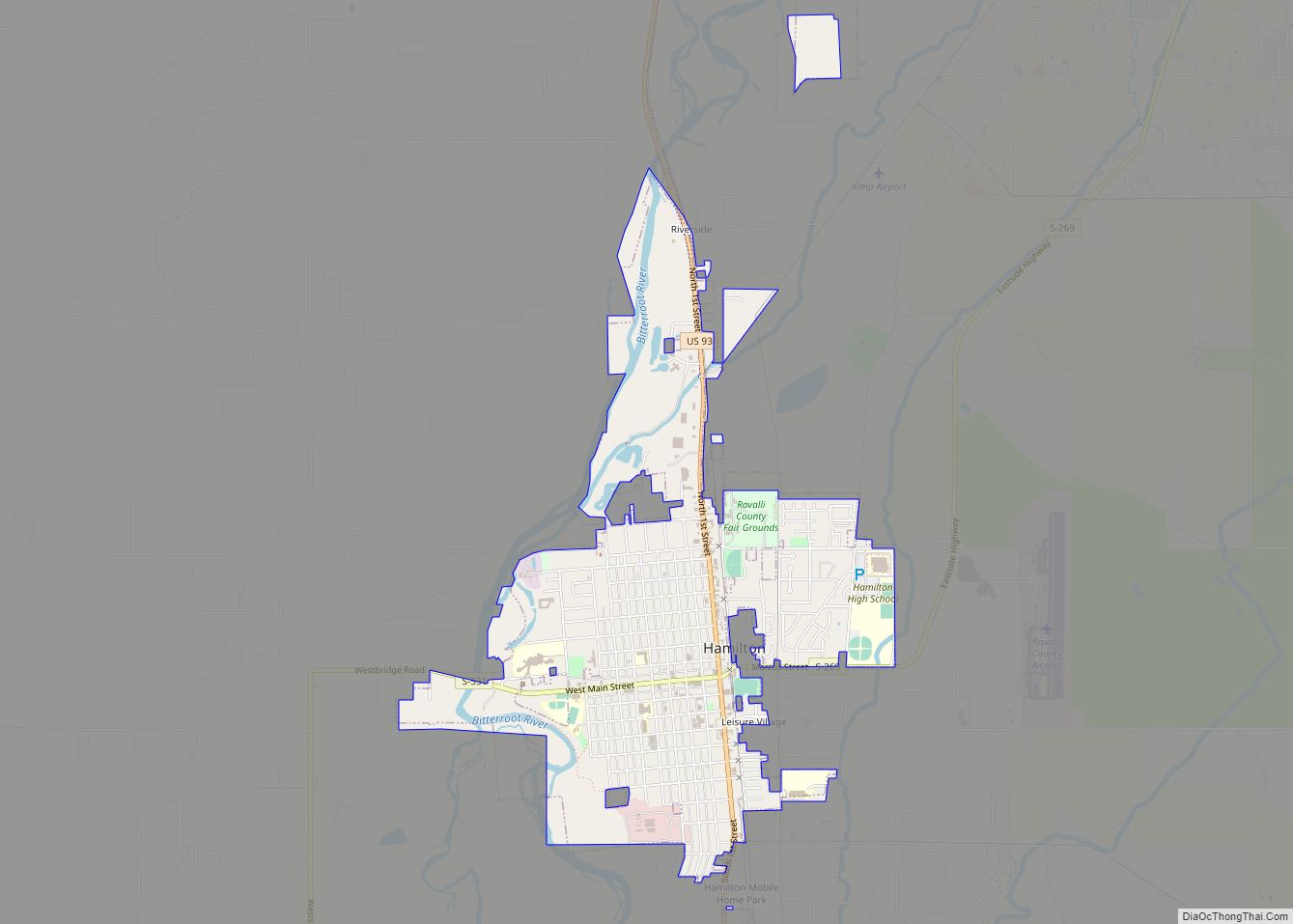
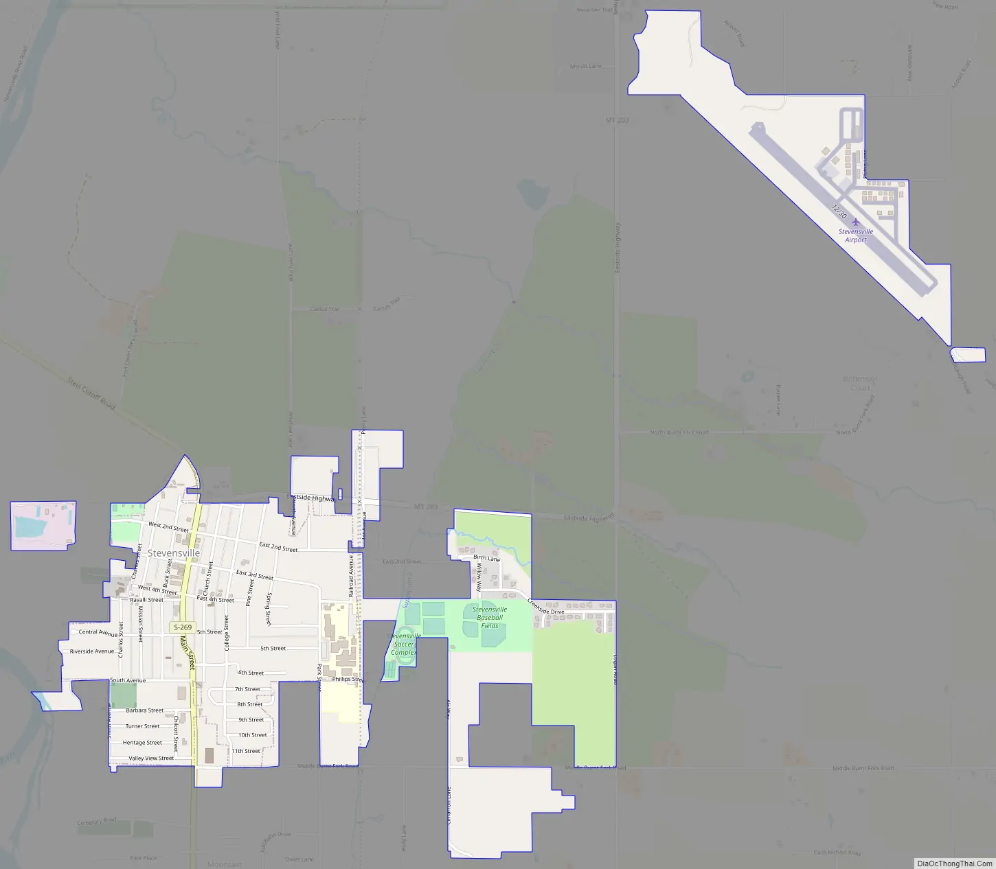
Stevensville Road Map
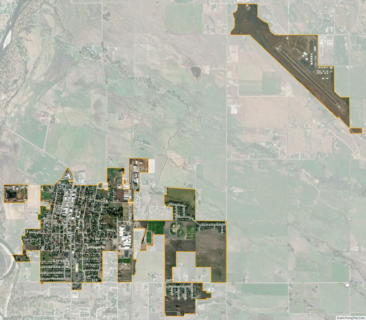
Stevensville city Satellite Map
Geography
Stevensville is located at 46°30′28″N 114°5′36″W / 46.50778°N 114.09333°W / 46.50778; -114.09333 (46.507836, −114.093214), 25 miles south of Missoula.
According to the United States Census Bureau, the town has a total area of 1.00 square mile (2.59 km), of which 0.98 square miles (2.54 km) is land and 0.02 square miles (0.05 km) is water.
“Flanked by the Bitterroot and Sapphire mountains, the small, historic town in the Bitterroot Valley offers beautiful views, outdoor recreation, and watchable wildlife.” The Bitterroot Mountain Range, just west of Stevensville, is the longest single mountain range in the Rocky Mountains.
Climate
This climatic region is typified by large seasonal temperature differences, with warm to hot (rarely humid) summers and cold (sometimes severely cold) winters. According to the Köppen Climate Classification system, Stevensville has a humid continental climate, abbreviated “Dfb” on climate maps.
See also
Map of Montana State and its subdivision:- Beaverhead
- Big Horn
- Blaine
- Broadwater
- Carbon
- Carter
- Cascade
- Chouteau
- Custer
- Daniels
- Dawson
- Deer Lodge
- Fallon
- Fergus
- Flathead
- Gallatin
- Garfield
- Glacier
- Golden Valley
- Granite
- Hill
- Jefferson
- Judith Basin
- Lake
- Lewis and Clark
- Liberty
- Lincoln
- Madison
- McCone
- Meagher
- Mineral
- Missoula
- Musselshell
- Park
- Petroleum
- Phillips
- Pondera
- Powder River
- Powell
- Prairie
- Ravalli
- Richland
- Roosevelt
- Rosebud
- Sanders
- Sheridan
- Silver Bow
- Stillwater
- Sweet Grass
- Teton
- Toole
- Treasure
- Valley
- Wheatland
- Wibaux
- Yellowstone
- Alabama
- Alaska
- Arizona
- Arkansas
- California
- Colorado
- Connecticut
- Delaware
- District of Columbia
- Florida
- Georgia
- Hawaii
- Idaho
- Illinois
- Indiana
- Iowa
- Kansas
- Kentucky
- Louisiana
- Maine
- Maryland
- Massachusetts
- Michigan
- Minnesota
- Mississippi
- Missouri
- Montana
- Nebraska
- Nevada
- New Hampshire
- New Jersey
- New Mexico
- New York
- North Carolina
- North Dakota
- Ohio
- Oklahoma
- Oregon
- Pennsylvania
- Rhode Island
- South Carolina
- South Dakota
- Tennessee
- Texas
- Utah
- Vermont
- Virginia
- Washington
- West Virginia
- Wisconsin
- Wyoming