Chamita is a census-designated place in Rio Arriba County, New Mexico, United States. Its population was 870 as of the 2010 census. New Mexico State Road 74 passes through the community. During its earlier years, the community was known as San Pedro De Chamita and served as the first county seat for Rio Arriba county.
| Name: | Chamita CDP |
|---|---|
| LSAD Code: | 57 |
| LSAD Description: | CDP (suffix) |
| State: | New Mexico |
| County: | Rio Arriba County |
| Elevation: | 5,725 ft (1,745 m) |
| Total Area: | 3.90 sq mi (10.11 km²) |
| Land Area: | 3.85 sq mi (9.97 km²) |
| Water Area: | 0.05 sq mi (0.14 km²) |
| Total Population: | 1,005 |
| Population Density: | 260.97/sq mi (100.77/km²) |
| Area code: | 505 |
| FIPS code: | 3514180 |
| GNISfeature ID: | 899579 |
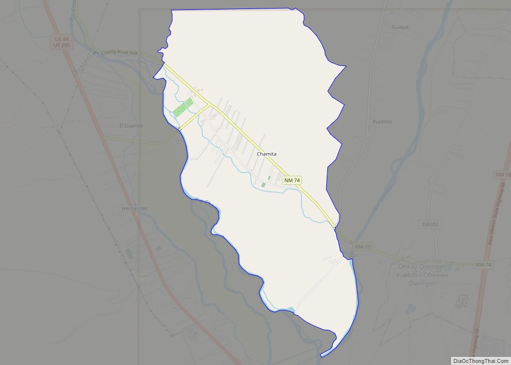
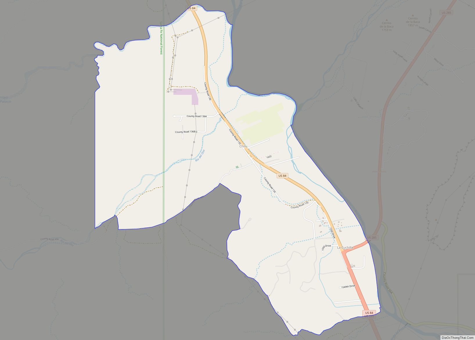
Online Interactive Map
Click on ![]() to view map in "full screen" mode.
to view map in "full screen" mode.
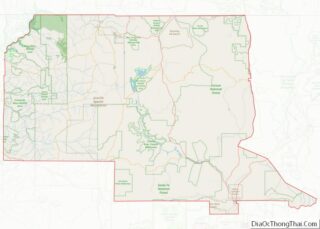
Chamita location map. Where is Chamita CDP?
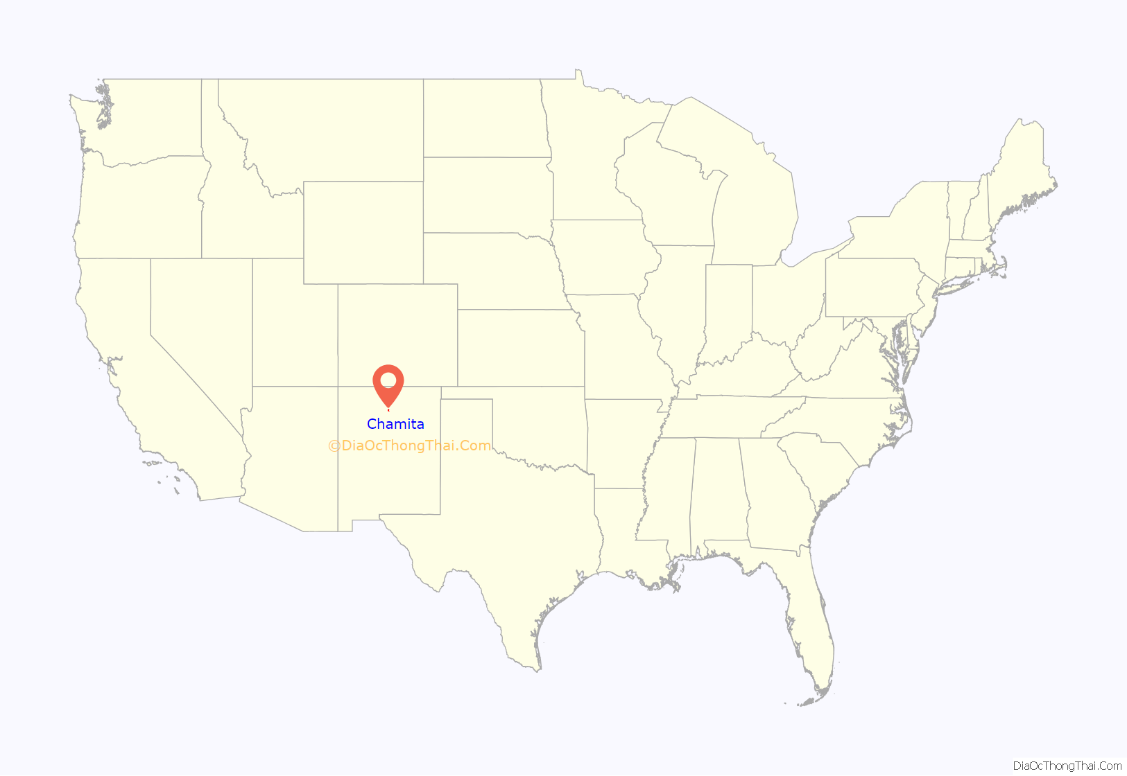
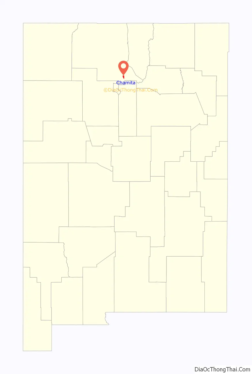
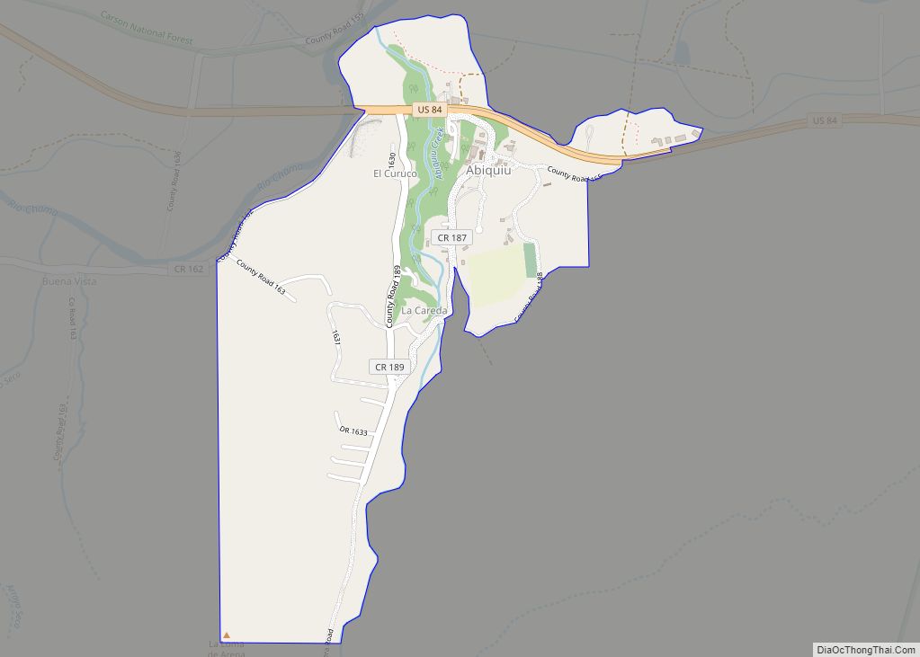
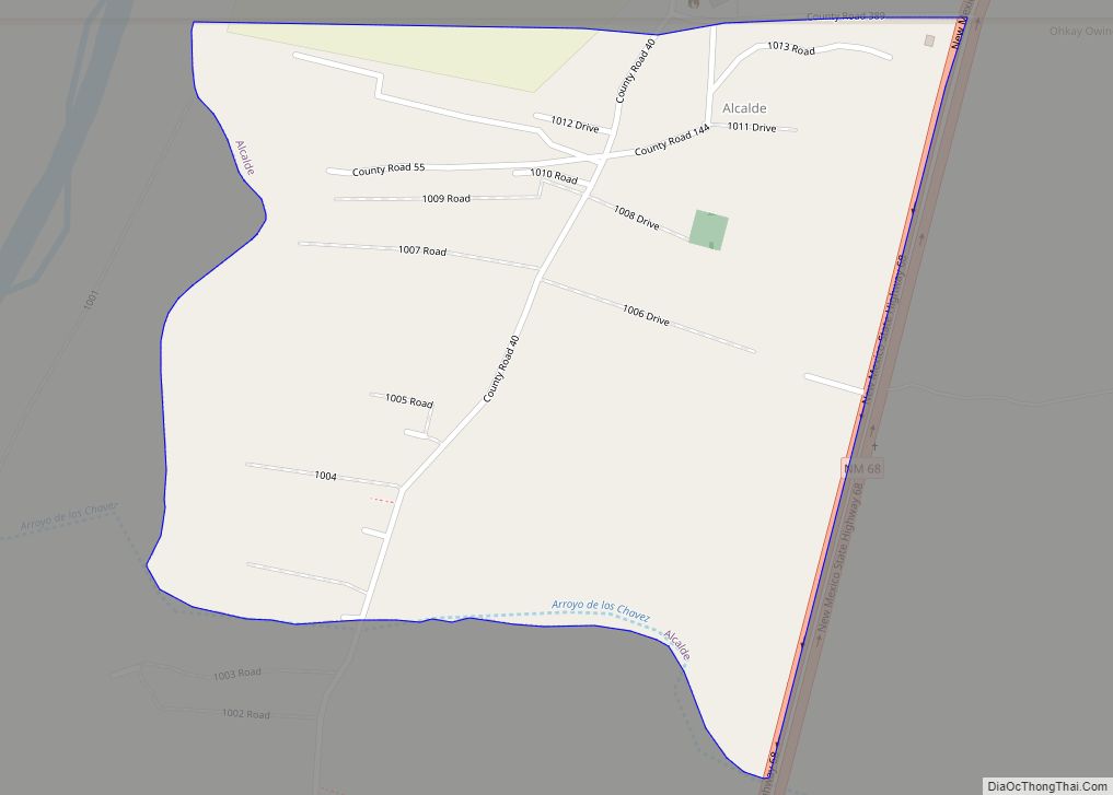
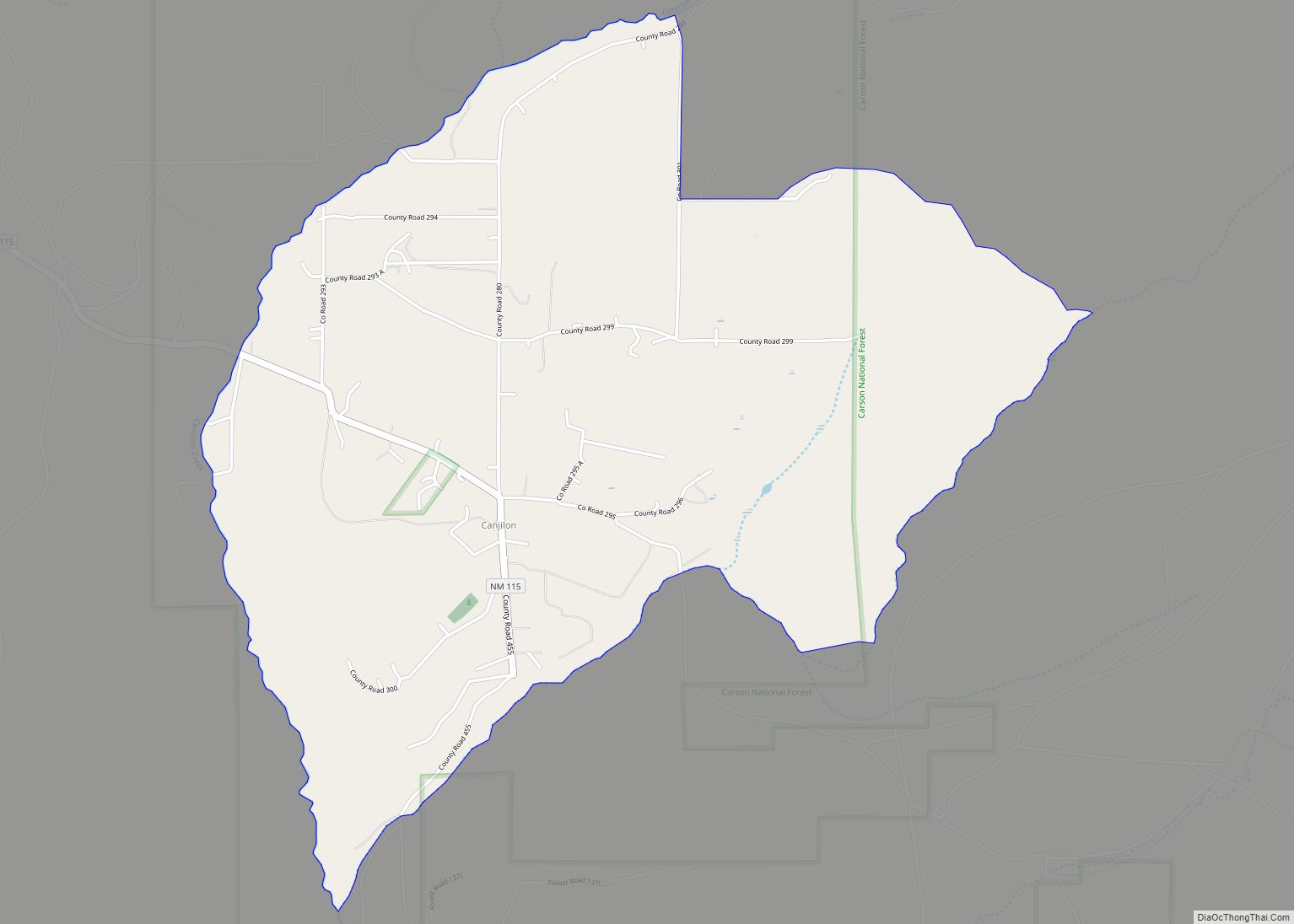
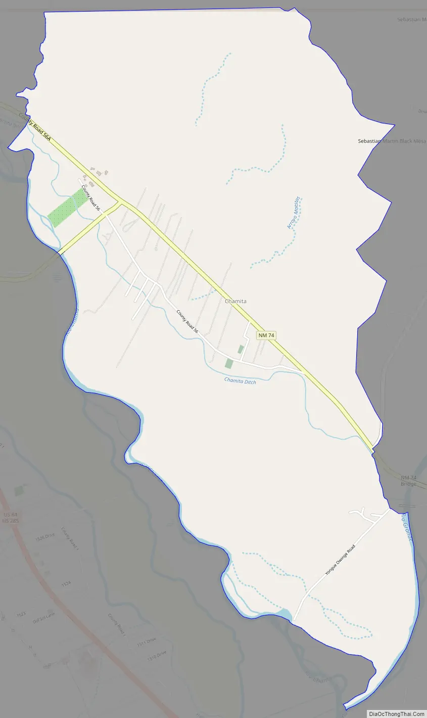
Chamita Road Map
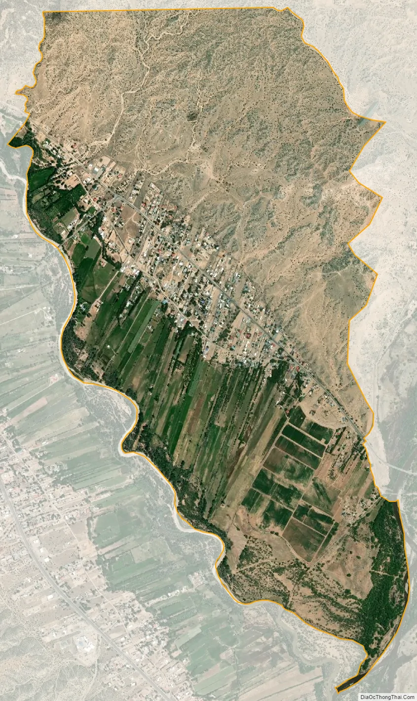
Chamita city Satellite Map
Geography
Chamita is located at 36°04′13″N 106°05′49″W / 36.0703003°N 106.0969681°W / 36.0703003; -106.0969681. According to the U.S. Census Bureau, the community has an area of 3.902 square miles (10.11 km); 3.851 square miles (9.97 km) of its area is land, and 0.051 square miles (0.13 km) is water. Both the Rio Grande and the Rio Chama flow through the community. The two rivers converge south of the area.
See also
Map of New Mexico State and its subdivision: Map of other states:- Alabama
- Alaska
- Arizona
- Arkansas
- California
- Colorado
- Connecticut
- Delaware
- District of Columbia
- Florida
- Georgia
- Hawaii
- Idaho
- Illinois
- Indiana
- Iowa
- Kansas
- Kentucky
- Louisiana
- Maine
- Maryland
- Massachusetts
- Michigan
- Minnesota
- Mississippi
- Missouri
- Montana
- Nebraska
- Nevada
- New Hampshire
- New Jersey
- New Mexico
- New York
- North Carolina
- North Dakota
- Ohio
- Oklahoma
- Oregon
- Pennsylvania
- Rhode Island
- South Carolina
- South Dakota
- Tennessee
- Texas
- Utah
- Vermont
- Virginia
- Washington
- West Virginia
- Wisconsin
- Wyoming