Meeker is the Statutory Town in and the county seat of Rio Blanco County, Colorado, United States, that is the most populous municipality in the county. The town population was 2,374 at the 2020 United States Census.
| Name: | Meeker town |
|---|---|
| LSAD Code: | 43 |
| LSAD Description: | town (suffix) |
| State: | Colorado |
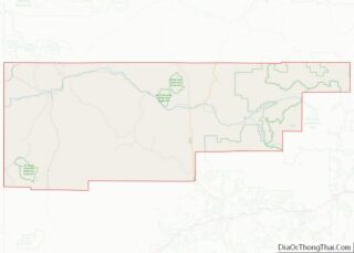
| County: | Rio Blanco County |
| Founded: | 1883 |
| Incorporated: | 1885-11-10 |
| Elevation: | 6,240 ft (1,902 m) |
| Total Area: | 3.59 sq mi (9.30 km²) |
| Land Area: | 3.59 sq mi (9.30 km²) |
| Water Area: | 0.00 sq mi (0.00 km²) |
| Total Population: | 2,374 |
| Population Density: | 660/sq mi (260/km²) |
| ZIP code: | 81641 |
| Area code: | 970 |
| FIPS code: | 0849875 |
| GNISfeature ID: | 0173407 |
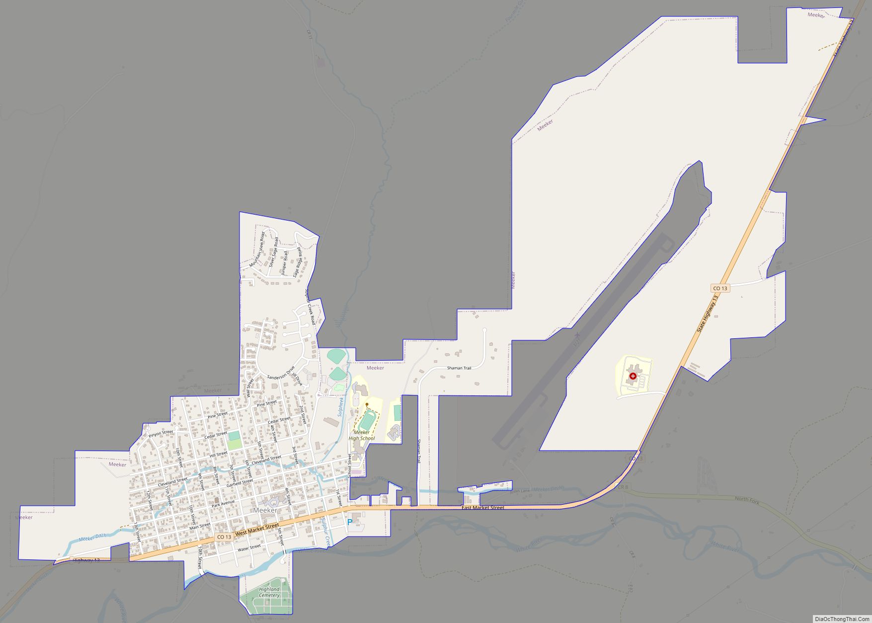
Online Interactive Map
Click on ![]() to view map in "full screen" mode.
to view map in "full screen" mode.
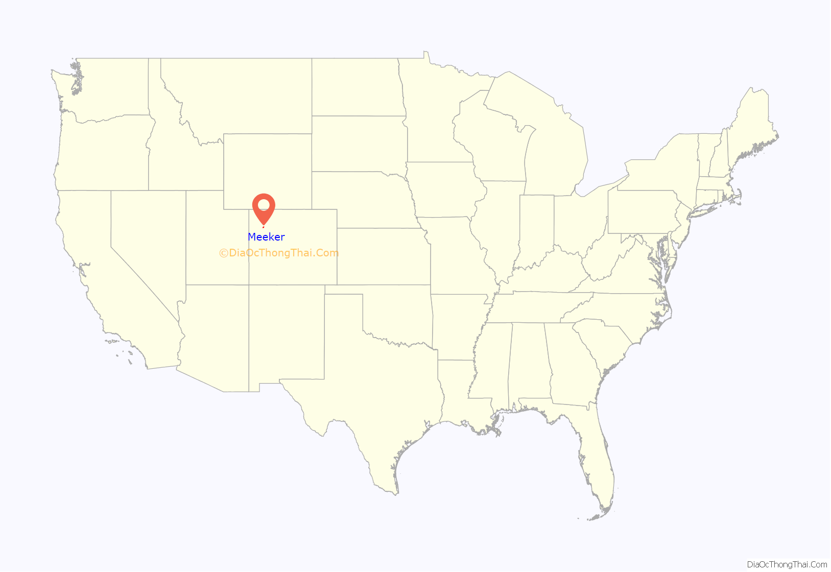
Meeker location map. Where is Meeker town?

History
The town is named for Nathan Meeker, the United States Indian Agent who was killed along with 11 other white citizens by White River Ute Indians in the 1879 Meeker Incident, also known as the Meeker Massacre. The site of the uprising, the former White River Indian Agency, is located along State Highway 64 in the White River valley west of town and is marked by a prominent sign. None of the buildings remain.
After the uprising and the ensuing conflict known as the Ute War, in 1880 the US Congress passed legislation requiring the Ute population to relocate to reservations in Utah. The United States Army established a garrison on the current site of the town, called the Camp at White River. The town was founded in 1883 following the removal of the troops. The White River Museum is located just north of the Rio Blanco County Courthouse and housed in several original wooden structures of the Army garrison.
The town emerged as a regional center for hunting by the turn of the 20th century. Theodore Roosevelt visited the town twice in 1901 and in 1905 on a mountain lion and bear hunting trip and stayed in the historic Hotel Meeker opposite the courthouse. The town is also a favorite summer destination and permanent residence for many prominent Americans, including billionaire Henry Kravis, former president and COO of Goldman Sachs Jon Winkelried, and comedian Daniel Tosh.
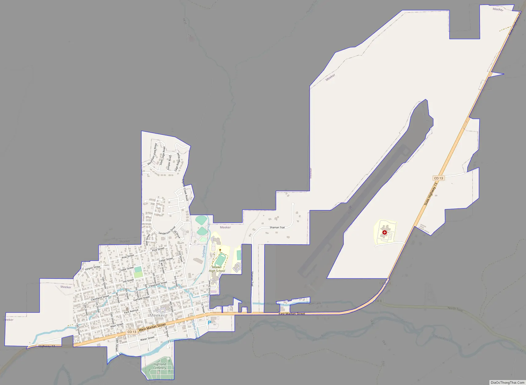
Meeker Road Map
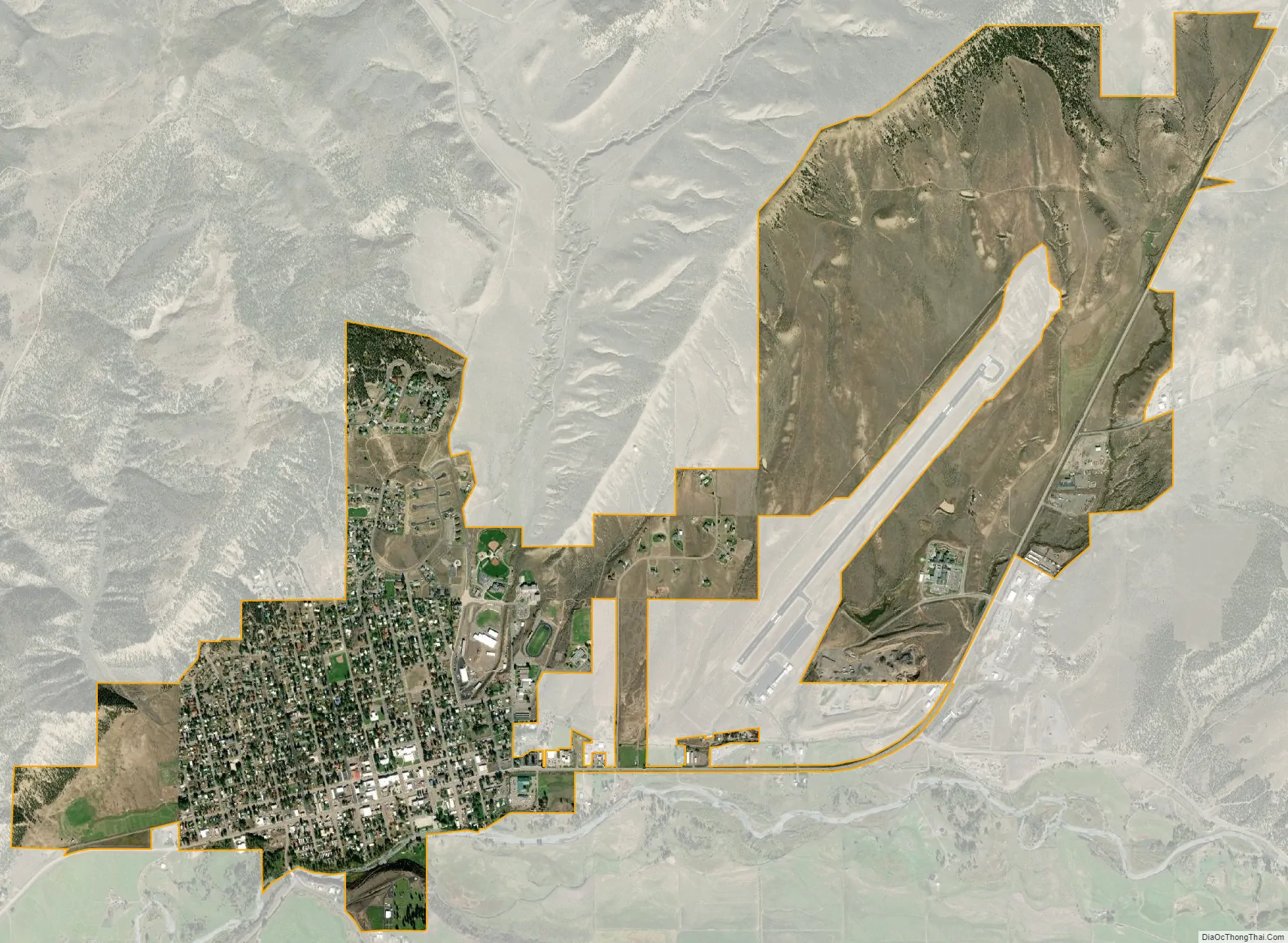
Meeker city Satellite Map
Geography
Meeker is located at 40°2′22″N 107°54′39″W / 40.03944°N 107.91083°W / 40.03944; -107.91083 (40.039539, -107.910709).
According to the United States Census Bureau, the town has a total area of 2.9 square miles (7.5 km), all of it land. The town is situated on the White River at an elevation of 6,250 feet above sea level.
See also
Map of Colorado State and its subdivision:- Adams
- Alamosa
- Arapahoe
- Archuleta
- Baca
- Bent
- Boulder
- Broomfield
- Chaffee
- Cheyenne
- Clear Creek
- Conejos
- Costilla
- Crowley
- Custer
- Delta
- Denver
- Dolores
- Douglas
- Eagle
- El Paso
- Elbert
- Fremont
- Garfield
- Gilpin
- Grand
- Gunnison
- Hinsdale
- Huerfano
- Jackson
- Jefferson
- Kiowa
- Kit Carson
- La Plata
- Lake
- Larimer
- Las Animas
- Lincoln
- Logan
- Mesa
- Mineral
- Moffat
- Montezuma
- Montrose
- Morgan
- Otero
- Ouray
- Park
- Phillips
- Pitkin
- Prowers
- Pueblo
- Rio Blanco
- Rio Grande
- Routt
- Saguache
- San Juan
- San Miguel
- Sedgwick
- Summit
- Teller
- Washington
- Weld
- Yuma
- Alabama
- Alaska
- Arizona
- Arkansas
- California
- Colorado
- Connecticut
- Delaware
- District of Columbia
- Florida
- Georgia
- Hawaii
- Idaho
- Illinois
- Indiana
- Iowa
- Kansas
- Kentucky
- Louisiana
- Maine
- Maryland
- Massachusetts
- Michigan
- Minnesota
- Mississippi
- Missouri
- Montana
- Nebraska
- Nevada
- New Hampshire
- New Jersey
- New Mexico
- New York
- North Carolina
- North Dakota
- Ohio
- Oklahoma
- Oregon
- Pennsylvania
- Rhode Island
- South Carolina
- South Dakota
- Tennessee
- Texas
- Utah
- Vermont
- Virginia
- Washington
- West Virginia
- Wisconsin
- Wyoming