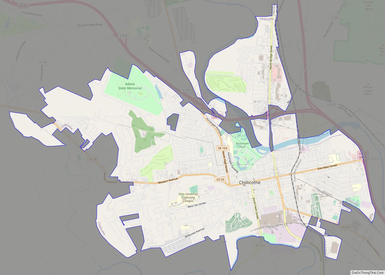
Chillicothe (/ˌtʃɪlɪˈkɒθi/ CHIL-ih-KOTH-ee) is a city in and the county seat of Ross County, Ohio, United States. Located along the Scioto River 45 miles (72 km) south of Columbus, Chillicothe was the first and third capital of Ohio. It is the only city in Ross County and is the center of the Chillicothe micropolitan area. The population was 22,059 at the 2020 census. Chillicothe is a designated Tree City USA by the National Arbor Day Foundation.
| Name: | Chillicothe city |
|---|---|
| LSAD Code: | 25 |
| LSAD Description: | city (suffix) |
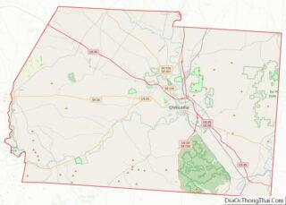
| State: | Ohio |
| County: | Ross County |
| Elevation: | 630 ft (190 m) |
| Total Area: | 10.67 sq mi (27.62 km²) |
| Land Area: | 10.50 sq mi (27.19 km²) |
| Water Area: | 0.17 sq mi (0.43 km²) |
| Total Population: | 22,059 |
| Population Density: | 2,100.86/sq mi (811.17/km²) |
| ZIP code: | 45601 |
| Area code: | 740, 220 |
| FIPS code: | 3914184 |
| GNISfeature ID: | 1060960 |
| Website: | ci.chillicothe.oh.us |
Online Interactive Map
Click on ![]() to view map in "full screen" mode.
to view map in "full screen" mode.
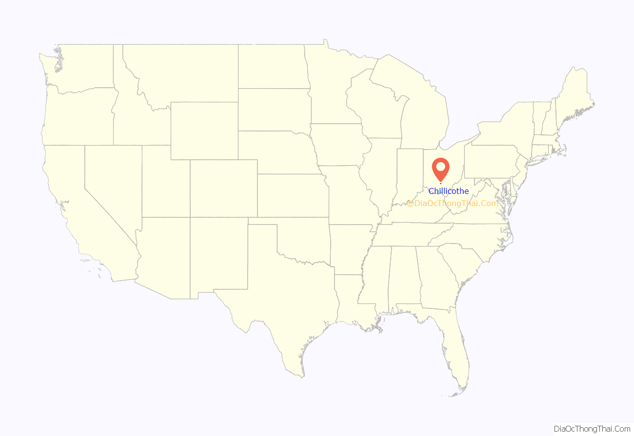
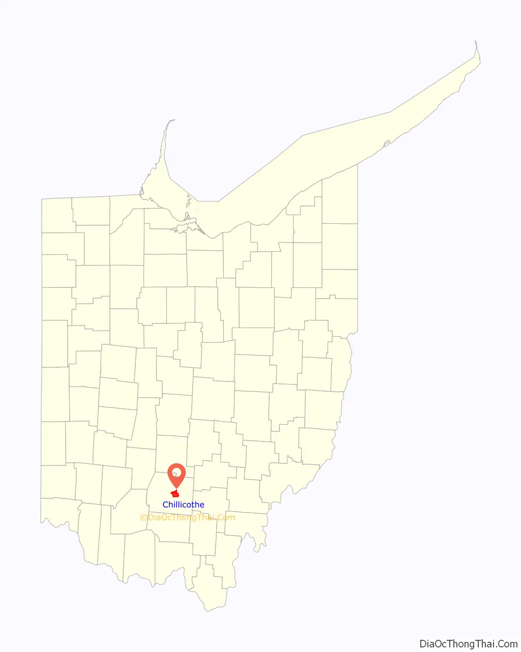
Chillicothe location map. Where is Chillicothe city?
History
The region around Chillicothe was the center of the ancient Hopewell tradition, which flourished from 200 BC until 500 AD. This Amerindian culture had trade routes extending to the Rocky Mountains. They built earthen mounds for ceremonial and burial purposes throughout the Scioto and Ohio River valleys.
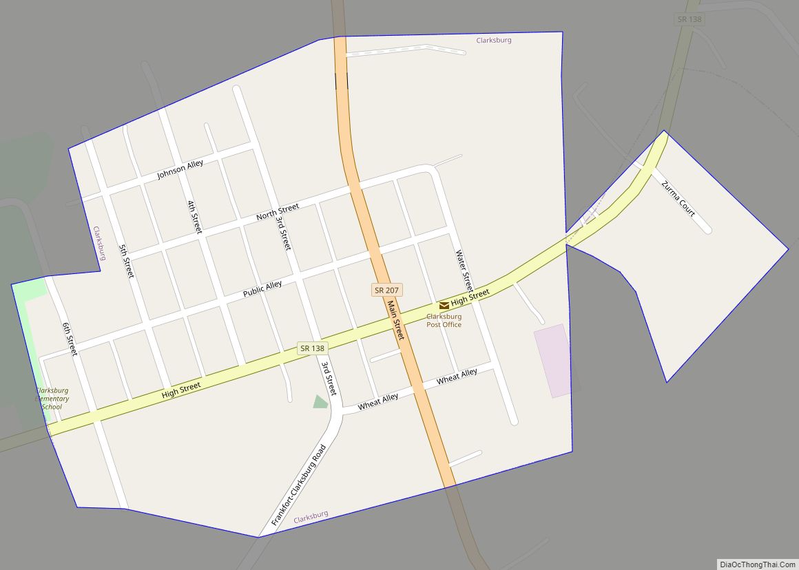
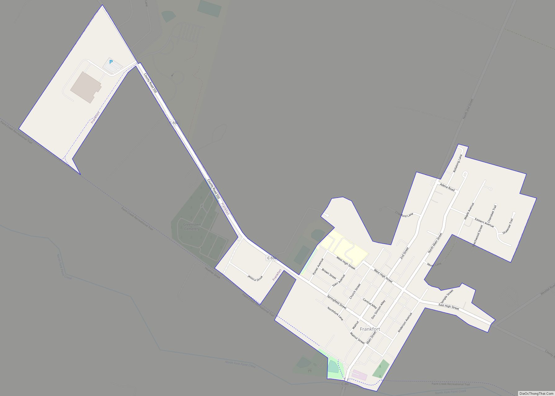
Later Native Americans who inhabited the area through the time of European contact included Shawnees. Present-day Chillicothe is the most recent of seven locations in Ohio that bore the name, because it was applied to the main town wherever the Chalakatha settled. Other population centers named Chillicothe in Ohio at one time include: one located at present-day Piqua, in Miami County; one located south of present-day Circleville, Pickaway County, on the Scioto River; a third about three miles (4.8 km) north of Xenia in Greene County, Ohio; a fourth at present-day Frankfort, Ross County, on Paint Creek; and a fifth also located in Ross County, at Hopetown, three miles north of modern Chillicothe.
In 1758 a settlement was established at this site by Shawnee Indians who had been forced to abandon their village of Lower Shawneetown after it was destroyed by floods in November of that year. A group of Shawnees from Logstown also joined them.
After the Treaty of Greenville in 1795 forced the Native Americans from most of Ohio, European settlers came to the area. Migrants from Virginia and Kentucky moved west along the Ohio River in search of land. The community Chillicothe was founded in 1796 by a party led by General Nathaniel Massie on his land grant. The town’s name comes from the Shawnee Chala·ka·tha (Chillicothe in English), meaning “principal town”, because it was the chief settlement of that division (one of five major divisions) of the Shawnee people.
In 1798, Ross County became incorporated with Chillicothe as the county seat. Chillicothe was named the capital of the remnant Northwest Territory in 1800, when Indiana Territory was split off, and the Northwest Territory was reduced to Ohio, eastern Michigan and a sliver of southeastern Indiana. In 1802 as Ohio moved toward statehood, the city hosted the Ohio Constitutional Convention. It served as the capital of Ohio from statehood in 1803 until 1810 then again from 1812 to 1816.
Ohio was a free state, and early migrants to Chillicothe included free blacks, who came to a place with fewer restrictions than in the slave states. They created a vibrant community and aided runaway slaves coming north. As tensions increased prior to the breakout of the American Civil War, the free black community at Chillicothe maintained stations and aid to support refugees on the Underground Railroad. The Ohio River was a border with the slave states of the South, with slaves crossing the river to freedom, and then up the Scioto River to get more distance from their former homes and slave hunters. White abolitionists aided the Underground Railroad as well.
Chillicothe Road Map
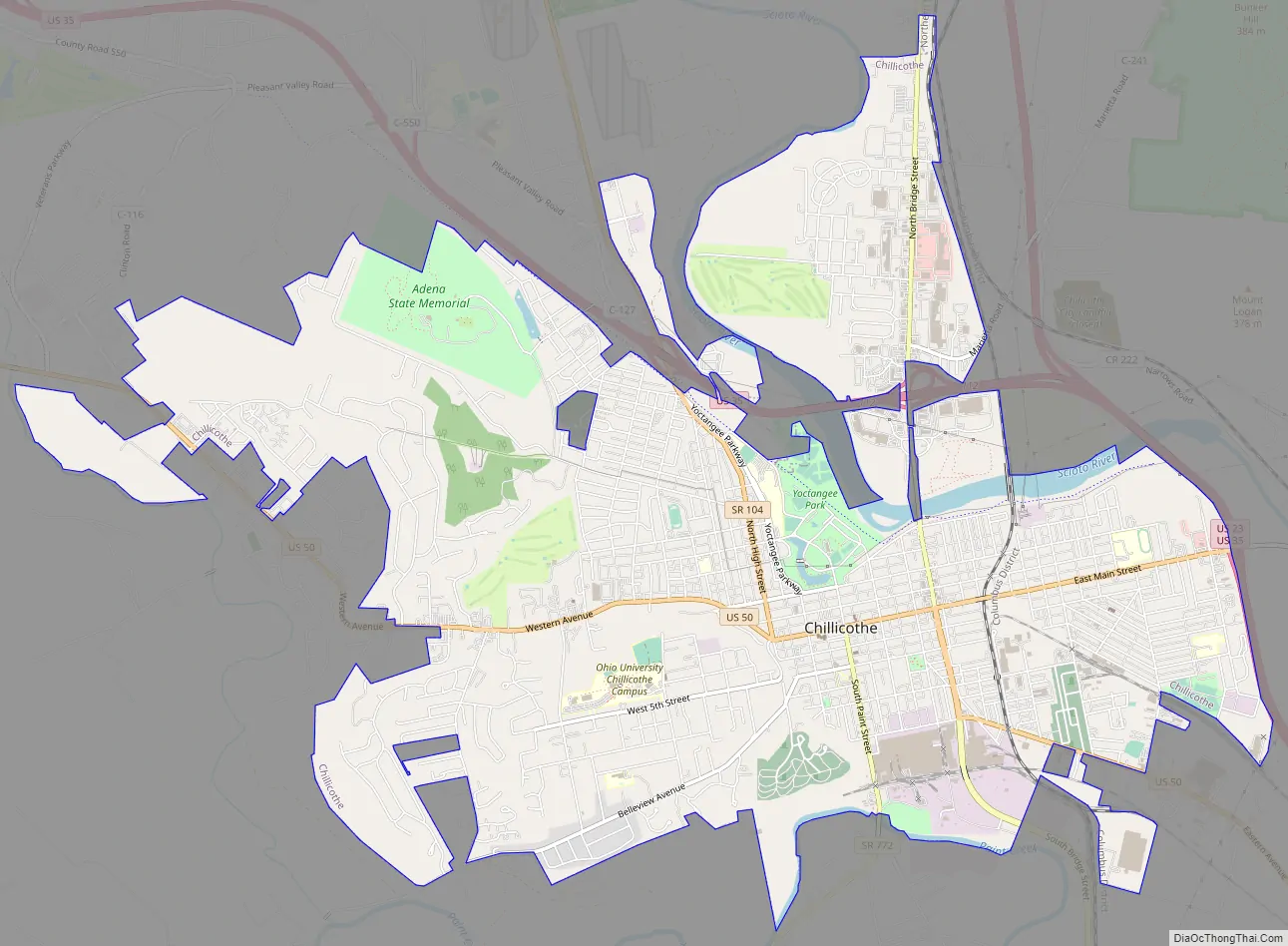
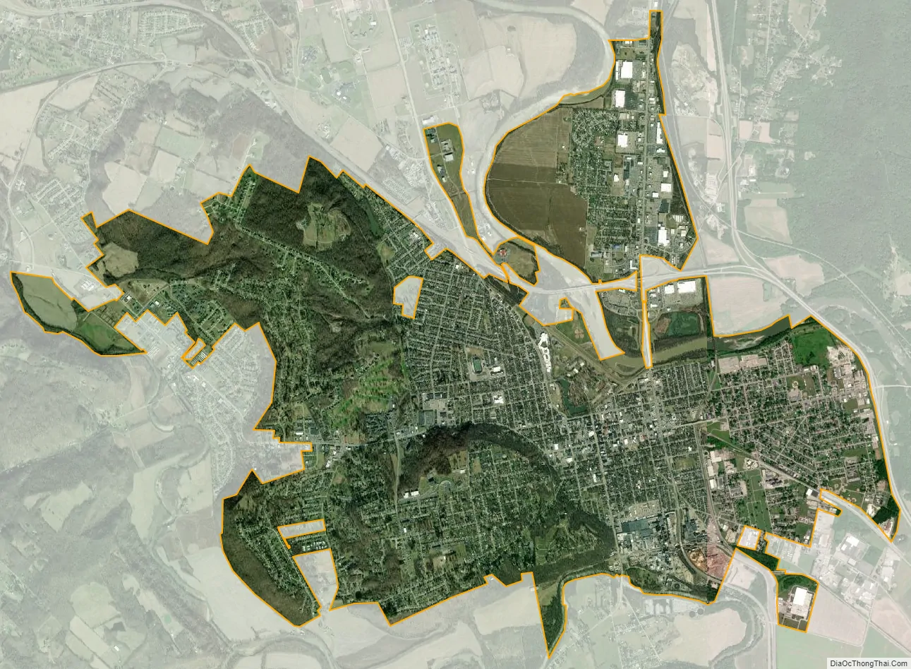
Chillicothe city Satellite Map
Geography
Chillicothe is located at 39°20′11″N 82°59′2″W / 39.33639°N 82.98389°W / 39.33639; -82.98389 (39.336525, −82.983822). It lies within the ecoregion of the Western Allegheny Plateau. It lies between the Scioto River and Paint Creek near their confluence.
According to the United States Census Bureau, the city has a total area of 10.60 square miles (27.45 km), of which 10.43 square miles (27.01 km) is land and 0.17 square miles (0.44 km) is water.
The city is surrounded by farming communities, and Chillicothe residents describe the area as the foothills of the Appalachians
Climate
The climate is very similar if not the same to Columbus.
See also
Map of Ohio State and its subdivision:- Adams
- Allen
- Ashland
- Ashtabula
- Athens
- Auglaize
- Belmont
- Brown
- Butler
- Carroll
- Champaign
- Clark
- Clermont
- Clinton
- Columbiana
- Coshocton
- Crawford
- Cuyahoga
- Darke
- Defiance
- Delaware
- Erie
- Fairfield
- Fayette
- Franklin
- Fulton
- Gallia
- Geauga
- Greene
- Guernsey
- Hamilton
- Hancock
- Hardin
- Harrison
- Henry
- Highland
- Hocking
- Holmes
- Huron
- Jackson
- Jefferson
- Knox
- Lake
- Lake Erie
- Lawrence
- Licking
- Logan
- Lorain
- Lucas
- Madison
- Mahoning
- Marion
- Medina
- Meigs
- Mercer
- Miami
- Monroe
- Montgomery
- Morgan
- Morrow
- Muskingum
- Noble
- Ottawa
- Paulding
- Perry
- Pickaway
- Pike
- Portage
- Preble
- Putnam
- Richland
- Ross
- Sandusky
- Scioto
- Seneca
- Shelby
- Stark
- Summit
- Trumbull
- Tuscarawas
- Union
- Van Wert
- Vinton
- Warren
- Washington
- Wayne
- Williams
- Wood
- Wyandot
- Alabama
- Alaska
- Arizona
- Arkansas
- California
- Colorado
- Connecticut
- Delaware
- District of Columbia
- Florida
- Georgia
- Hawaii
- Idaho
- Illinois
- Indiana
- Iowa
- Kansas
- Kentucky
- Louisiana
- Maine
- Maryland
- Massachusetts
- Michigan
- Minnesota
- Mississippi
- Missouri
- Montana
- Nebraska
- Nevada
- New Hampshire
- New Jersey
- New Mexico
- New York
- North Carolina
- North Dakota
- Ohio
- Oklahoma
- Oregon
- Pennsylvania
- Rhode Island
- South Carolina
- South Dakota
- Tennessee
- Texas
- Utah
- Vermont
- Virginia
- Washington
- West Virginia
- Wisconsin
- Wyoming