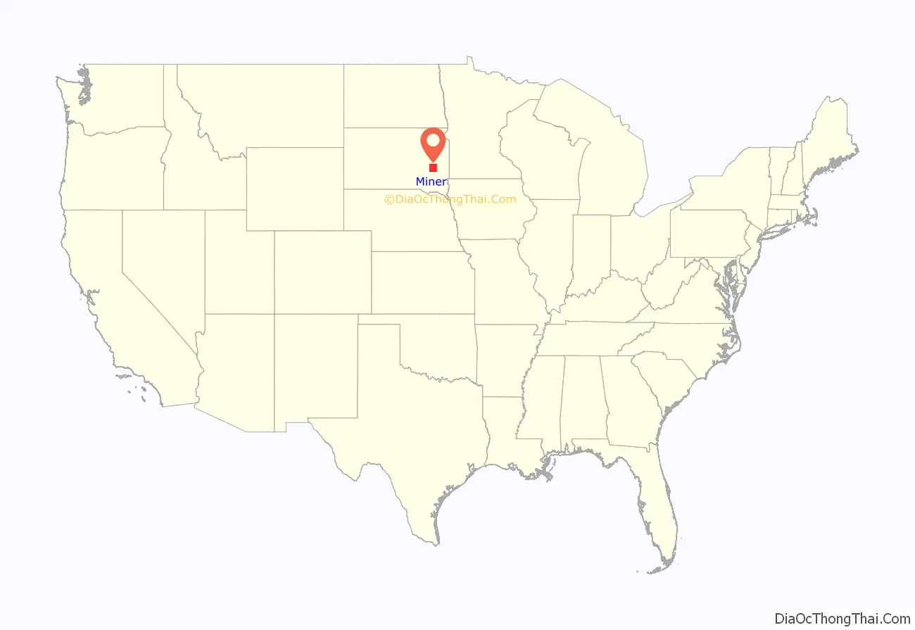
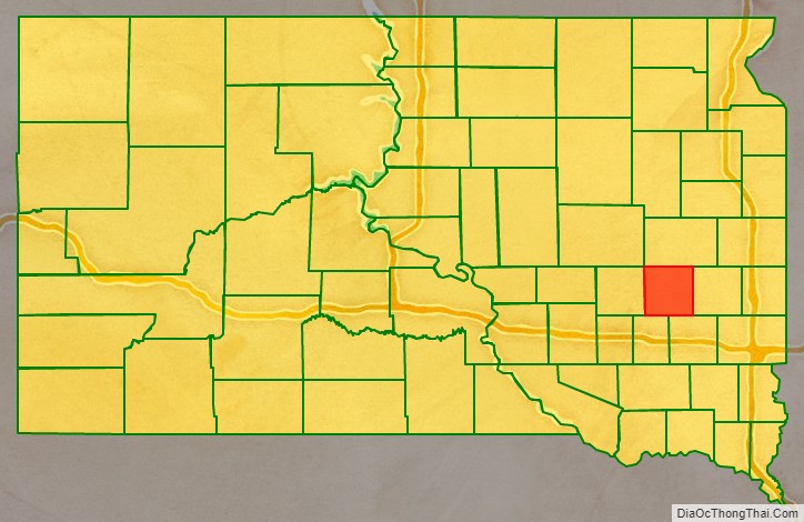
Miner County is a county in the U.S. state of South Dakota. As of the 2020 census, the population was 2,298. Its county seat is Howard. The county was created in 1873 and organized in 1880.
| Name: | Miner County |
|---|---|
| FIPS code: | 46-097 |
| State: | South Dakota |
| Founded: | 1873 |
| Named for: | Nelson Miner and Ephriam Miner |
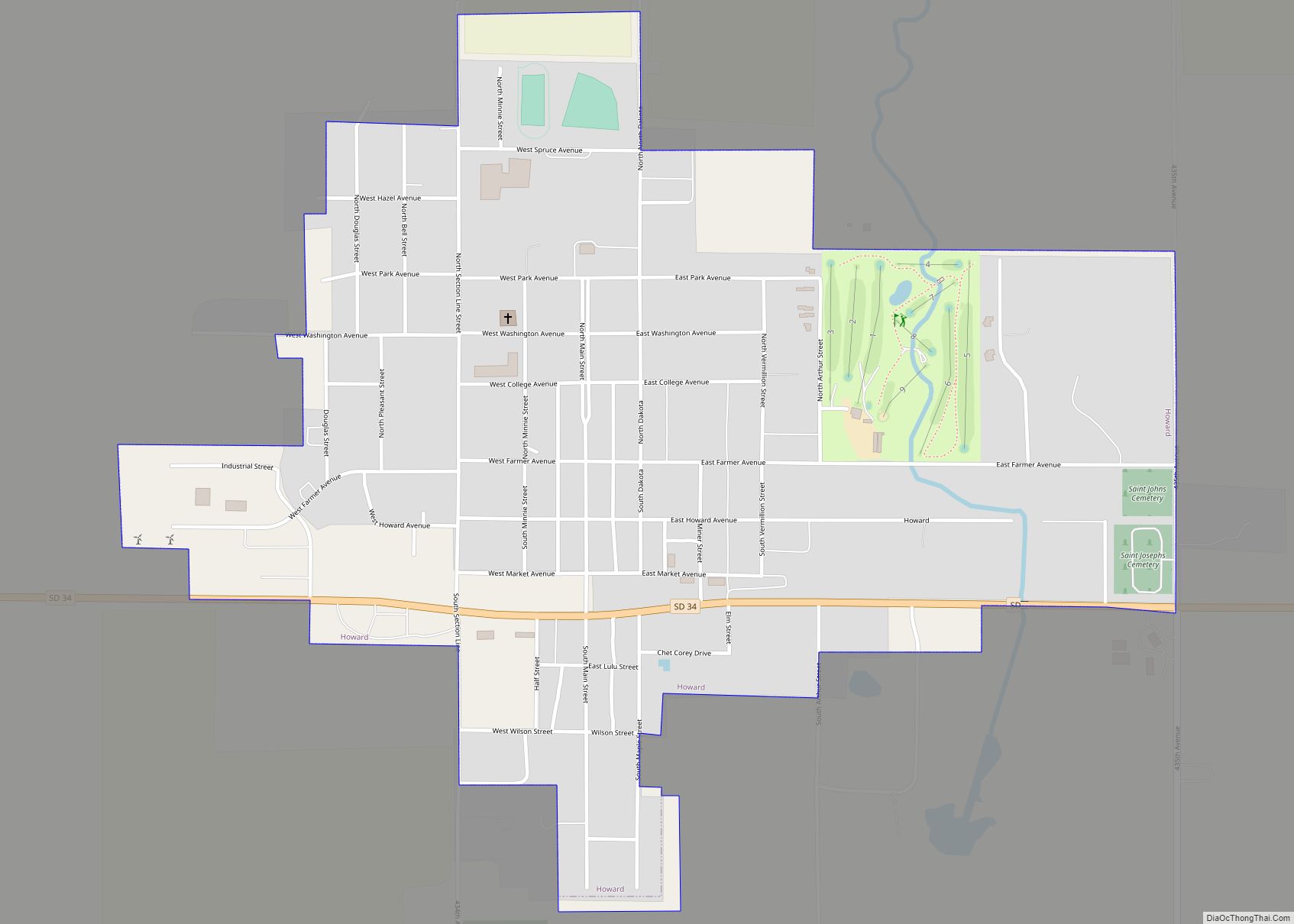
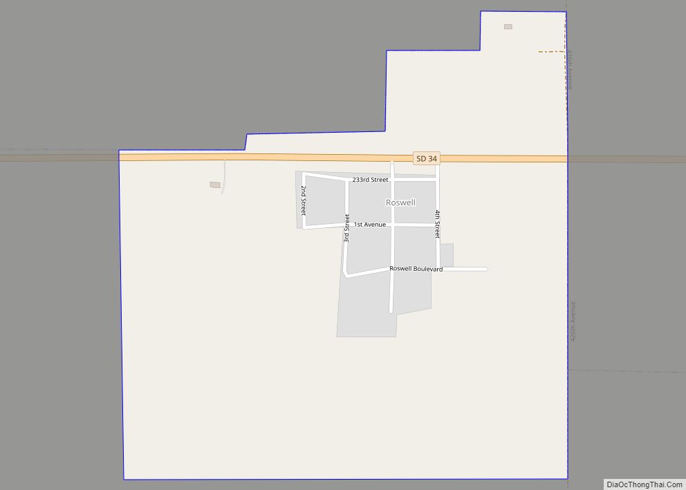
| Seat: | Howard |
| Largest city: | Howard |
| Total Area: | 572 sq mi (1,480 km²) |
| Land Area: | 570 sq mi (1,500 km²) |
| Total Population: | 2,298 |
| Population Density: | 4.0/sq mi (1.6/km²) |
| Time zone: | UTC−6 (Central) |
| Summer Time Zone (DST): | UTC−5 (CDT) |
| Website: | www.minercountysd.org |
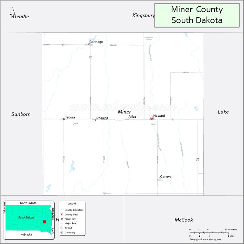
Miner County location map. Where is Miner County?
History
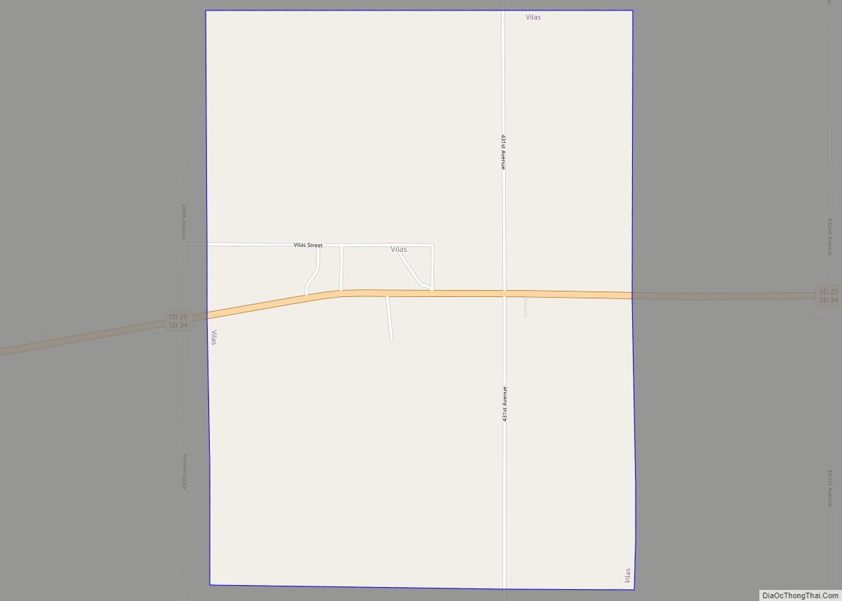
The area is situated on the site of Dakota Sioux trails that connected two sites of cultural significance to the Dakota people, the pipestone quarries in southwestern Minnesota and the Sioux Crossing of the Three Rivers, near present-day Fort Thompson. South Dakota Highway 34 now roughly follows this route.
The Fort Ridgely and South Pass Wagon Road, also known as Nobles Trail, the first road in Dakota Territory, passed through the area. It was made in 1857, connecting Fort Ridgley, Minnesota with South Pass in Wyoming Territory, along the Oregon Trail. The Minnesota and Powder River Road of 1865 also passed through the county.
The boundaries of present-day Miner County experienced several changes during territorial times. The county was established in 1873 by the Dakota Territorial Legislature when Hanson County was divided into several parts. It was named for Ephriam Miner, a territorial legislator, and Nelson Miner, a territorial legislator and captain in the 1st Dakota Cavalry. At the time, Miner County spanned the southern half of present-day Miner and Sanborn counties; Bramble County (now extinct) spanned the northern portion of these counties. In 1879 the legislature combined Miner, Bramble, and portions of Wetmore counties, and eliminated the latter two. The new Miner County was organized the following year with Forestburg as the county seat. In 1883 the county was divided; the western portion being renamed Sanborn County, and the eastern portion retaining the name Miner County. Howard was named the county seat of Miner County.
In 1881, the Milwaukee Road railroad opened tracks in Miner County that followed Fort Ridgely Road from east to west, connecting Madison to Woonsocket. The Chicago and North Western railroad opened tracks from Hawarden, Iowa, to Iroquois, crossing northwest across the county in 1882. These railroads have since abandoned their tracks in the county.
The first settler in Miner County was Matthew A. Moore, who homesteaded near the present site of Howard in the spring of 1879. Significant homesteading started in the latter part of 1879 and concluded in 1884, when all available government land had been claimed. Settlers were primarily Norwegian, German, Danish, Welsh, Irish and Swedish.
On August 28, 1884, the second known photograph of a tornado was taken in Miner County. See 1884 Howard, South Dakota tornado.
The current Miner County Courthouse was built in 1938 at a cost of $107,000 by the Great Depression-era Public Works Administration and was dedicated on September 26, 1938.
On June 13, 1943, two B-17 bombers from the 393rd Bomb Group of the Sioux City Army Air Base collided while on a training exercise over Miner County. One plane crashed immediately, and the other made a controlled landing in a creek bed several miles away. Eleven airmen were killed.
Miner County Road Map
Geography
The terrain of Miner County consists of rolling hills, dotted with lakes and ponds, and generally devoted to agriculture. The terrain generally slopes to the south and southwest, with its highest point occurring along the north boundary line in the northeast part of the county, at 1,729′ (530m) ASL. The county has a total area of 572 square miles (1,480 km), of which 570 square miles (1,500 km) is land and 1.6 square miles (4.1 km) (0.3%) is water.
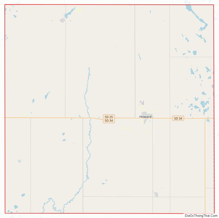
Major highways
- U.S. Route 81
- South Dakota Highway 25
- South Dakota Highway 34
Adjacent counties
- Kingsbury County – north
- Lake County – east
- McCook County – southeast
- Hanson County – southwest
- Sanborn County – west
Protected areas
- Bitter Lake Public Shooting Area
- Burke Slough Public Shooting Area
- Morris Lake Public Shooting Area
- Twin Lakes Public Shooting Area
Lakes
- Bitter Lake
- Glee Lake
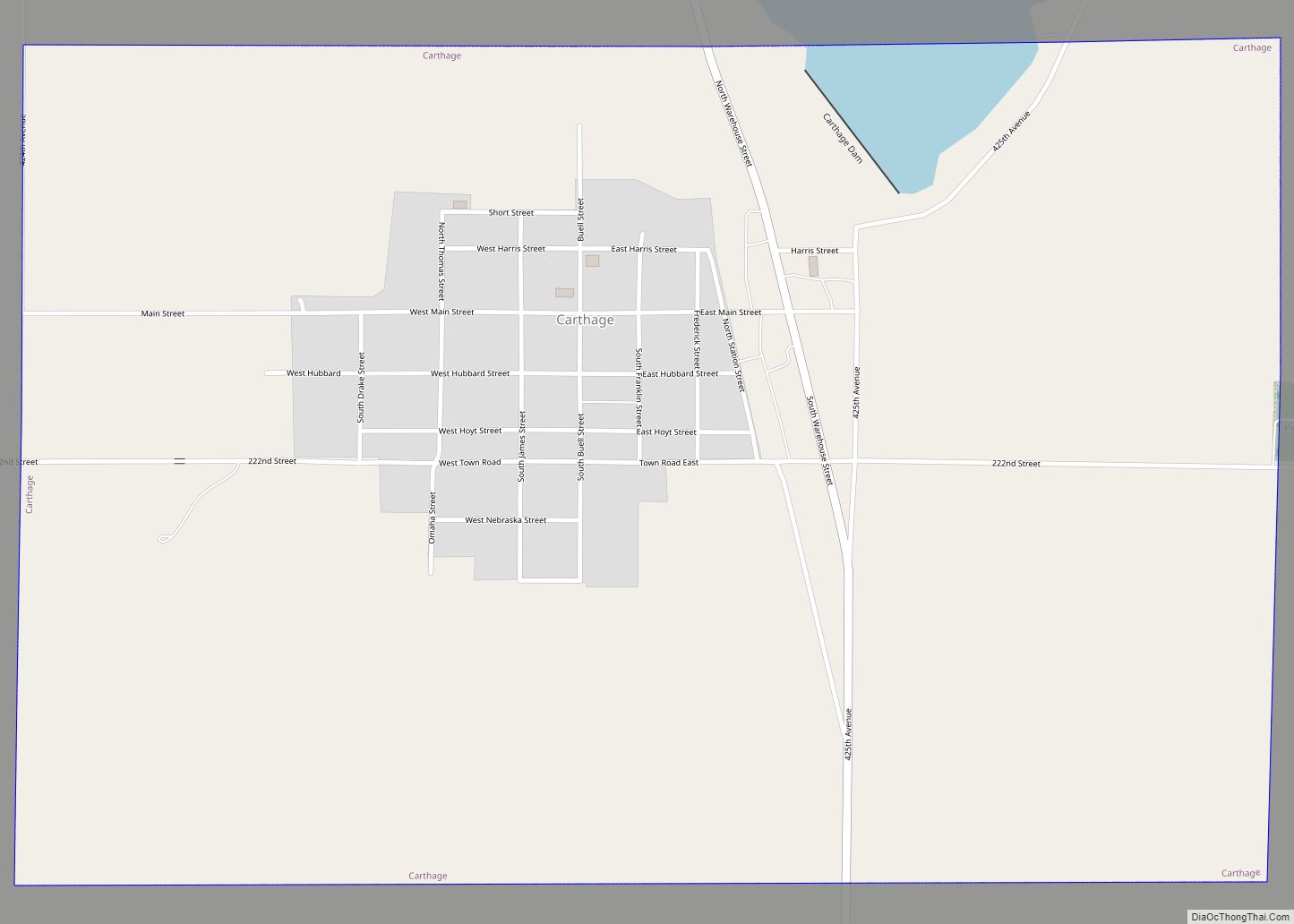
- Lake Carthage
- Lake Thompson
- Morris Lake
- Ness Chain Lake
- Stone House Lake
- Twin Lakes
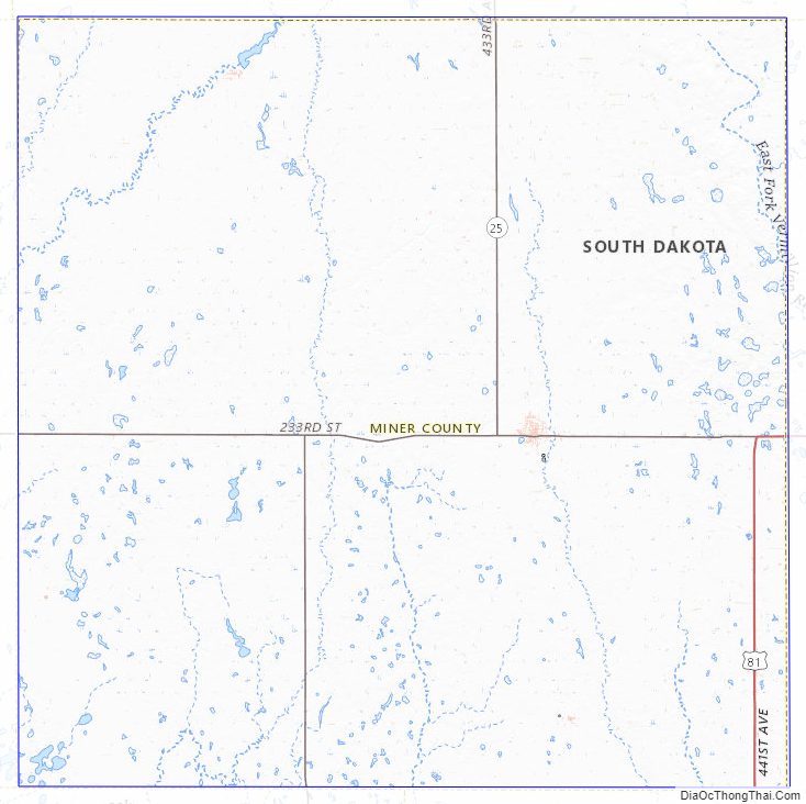
Miner County Topographic Map
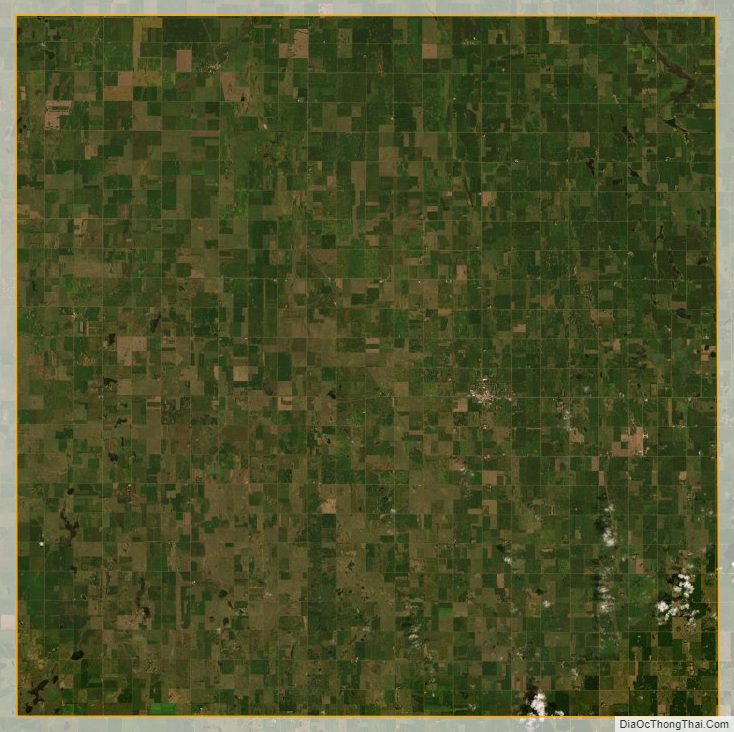
Miner County Satellite Map
Miner County Outline Map