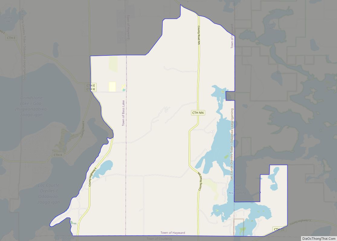
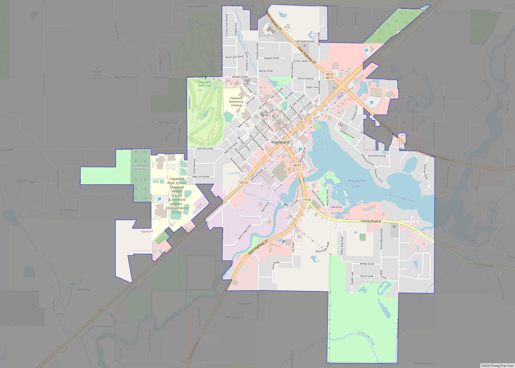
Hayward is a city in Sawyer County, Wisconsin, United States, next to the Namekagon River. The population was 2,318 at the 2010 census. It is the county seat of Sawyer County. The city is surrounded by the Town of Hayward.
| Name: | Hayward city |
|---|---|
| LSAD Code: | 25 |
| LSAD Description: | city (suffix) |
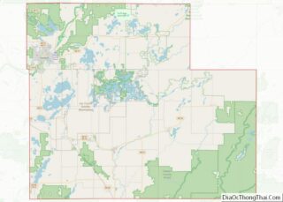
| State: | Wisconsin |
| County: | Sawyer County |
| Total Area: | 3.40 sq mi (8.81 km²) |
| Land Area: | 3.17 sq mi (8.20 km²) |
| Water Area: | 0.23 sq mi (0.61 km²) |
| Total Population: | 2,318 |
| Population Density: | 729.71/sq mi (281.72/km²) |
| ZIP code: | 54843 |
| Area code: | 715 and 534 |
| FIPS code: | 5533450 |
| GNISfeature ID: | 1583370 |
| Website: | www.cityofhaywardwi.gov |
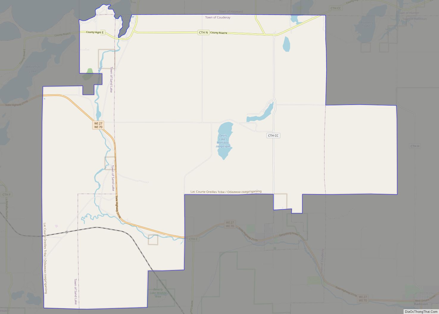
Online Interactive Map
Click on ![]() to view map in "full screen" mode.
to view map in "full screen" mode.
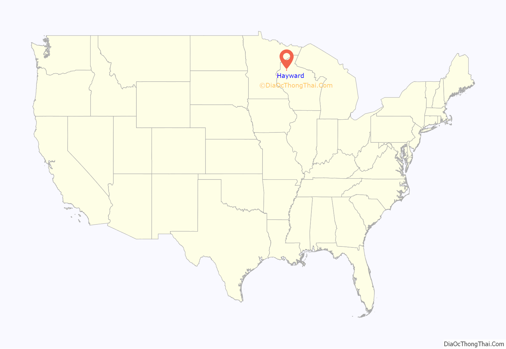
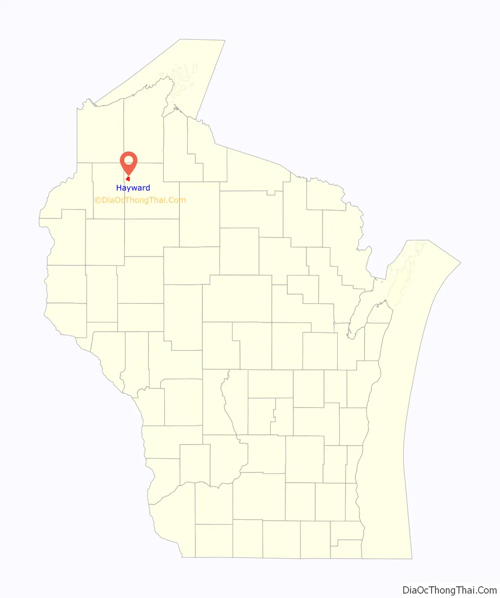
Hayward location map. Where is Hayward city?
History
Early history
Hayward was “named for Anthony Judson Hayward, a lumberman who located the site for building a sawmill, around which the town grew.”
Logging began in the late 1850s. Loggers came from Cortland County, New York, Carroll County, New Hampshire, Orange County, Vermont, Down East Maine in what is now Washington County, Maine and Hancock County, Maine. These were “Yankee” migrants, descended from the English Puritans who had settled New England during the 1600s. They were mostly members of the Congregational Church. From the 1890s, immigrants came from a variety of countries such as Germany, Norway, Poland, Italy, Ireland, Czechoslovakia, and Sweden.
Hayward Indian Residential School
In 1901, the Hayward Indian Residential School was established in Hayward. It was founded to assimilate Indigenous children into white Christian American culture. Most of the students were Ojibwe and came from the Lac Courte Oreilles Reservation ten miles away from the school. The school operated until 1934, when it closed due to being understaffed, underfunded, and overcrowded. During its operation, thousands of students passed through the school. Some were taken forcibly from their families. At the school, children were forced to take on Christian names, cut their hair, wear military style uniforms, and march in military formations. Boys and girls were strictly segregated in separate buildings.
The curriculum focused on English language, Christian religion, and industrial labor. Provision of teachers was so poor that few students graduated, and graduation certificates were withheld from students who were thought likely to return to their reservations instead of assimilating into white society. The school was funded in part by the government and in part by the labor of the children in agriculture and sewing. Male children cleared over 260 acres for cultivation. Girls were trained as housewives and lived in the “Homestead Cottage”, where a female teacher taught them how to run a household. The girls sold their sewing products to support the school and prepared meals for the other students. In the first decade of the school’s operation, girls were encouraged to practice Native beadwork styles, but by 1910 this had discontinued.
Overcrowding and poor sanitation endangered the students’ health. Dishes were rarely cleaned, students slept two to a bed, and during the winter they crowded into small rooms for indoor activities because there was no gymnasium. Children were served moldy bread, and most of the milk the children produced from the dairy herd was sold rather than fed to the children. These poor health conditions led to high rates of disease. The death rate during the 1918 flu pandemic was ten times higher than the Wisconsin average. Students also died from epidemics of measles and pneumonia. Some students were sexually abused by the teachers.
For speaking their Native languages, students were punished with beatings, public humiliation, extra chores, and confinement in the school jail. The school jail was a cell with bars in the basement of the boy’s dormitory where children were fed only bread and water. Other students were punished by being forced to kneel on marbles for hours. Hayward students sometimes went out into the woods on the weekends and spoke Ojibwe together since it was forbidden in school. On one occasion, a secret drum dance was held, where students prepared by secretly sewing jingles onto their dresses and practicing their singing at night. The superintendents caught the students and punished them by burning their drums, hitting their knuckles, and forcing the girls to wear signs around their necks reading “I will not squaw dance”. Due to the poor conditions and harsh discipline, runaways were common; in 1920 alone, 69 children ran away from the school.
The school closed in 1934 and was converted to the Hayward Area Memorial Hospital.
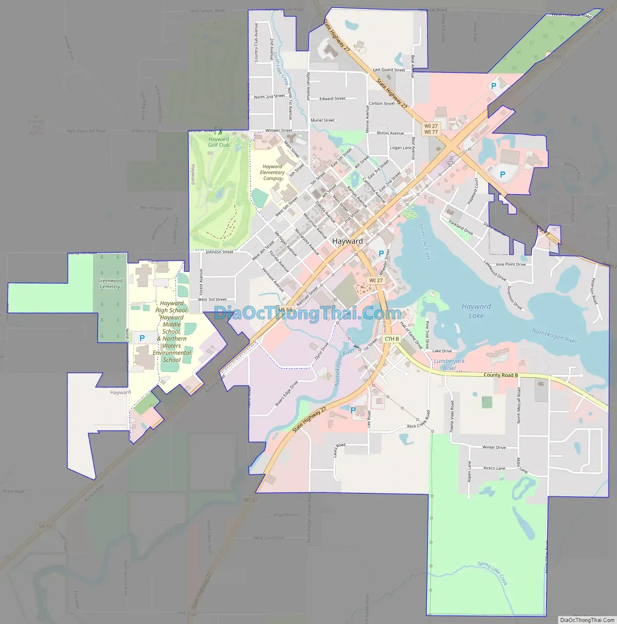
Hayward Road Map
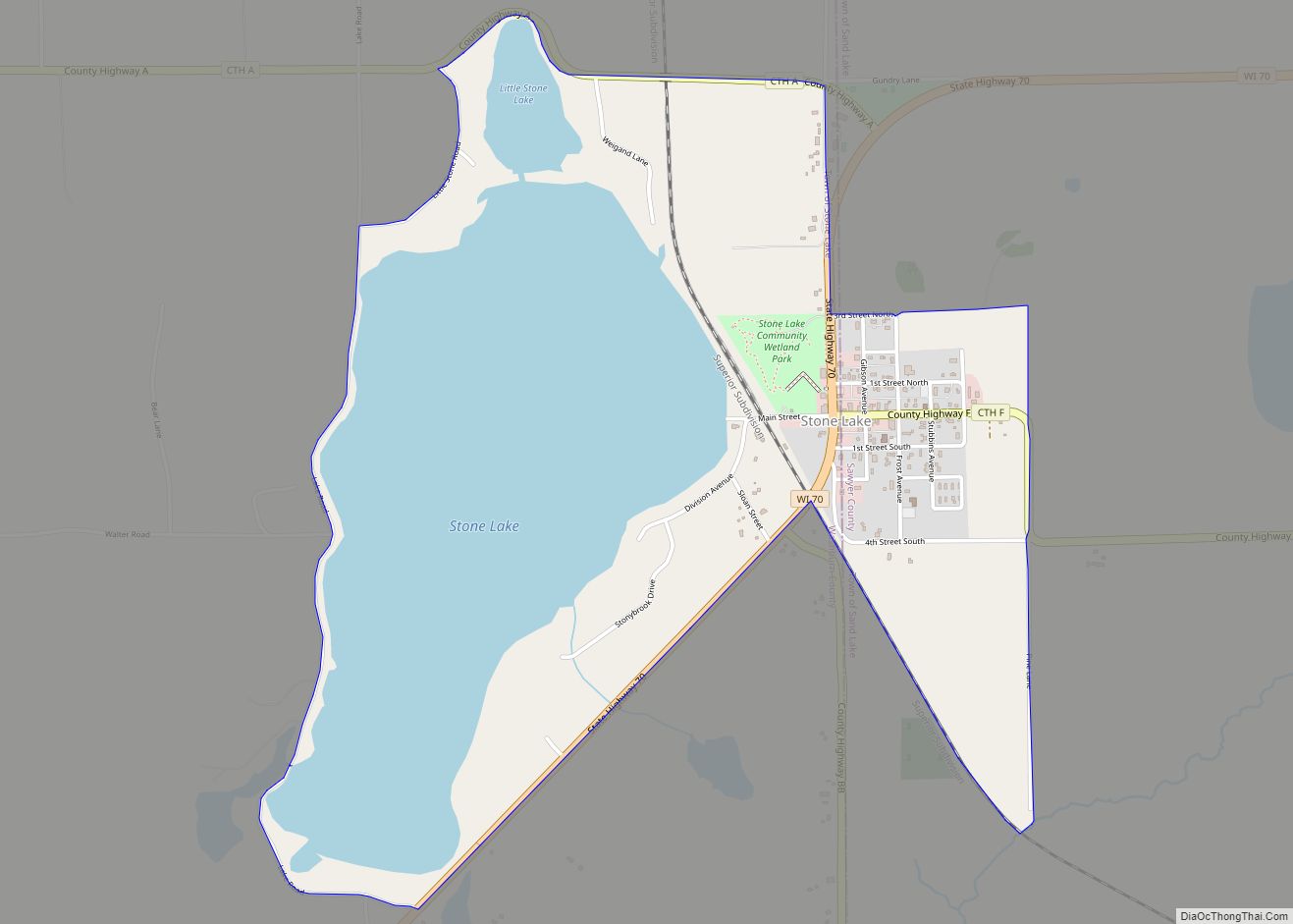
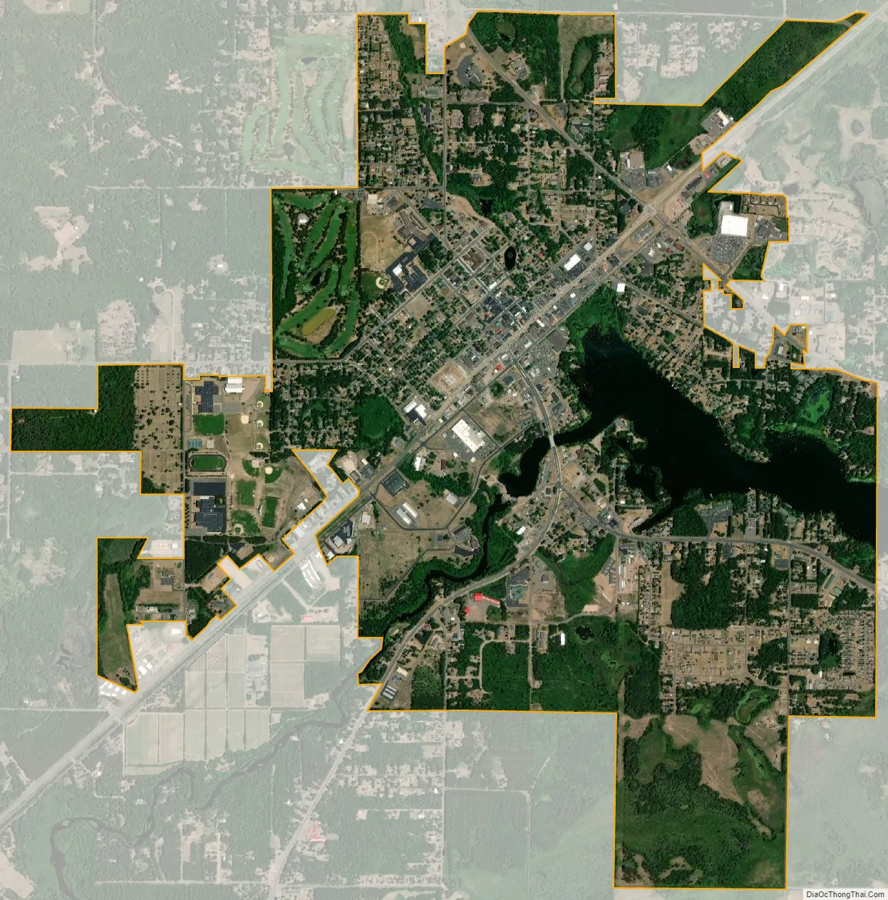
Hayward city Satellite Map
Geography
Hayward is located at 46°0′36″N 91°28′50″W / 46.01000°N 91.48056°W / 46.01000; -91.48056 (46.01, -91.480556).
According to the United States Census Bureau, the city has an area of 3.36 square miles (8.70 km), of which 3.13 square miles (8.11 km) is land and 0.23 square miles (0.60 km) is water.
Hayward is 71 miles southeast of Superior, 27 miles northeast of Spooner, about 107 miles north of Eau Claire, and 57 miles southwest of Ashland.
Climate
See also
Map of Wisconsin State and its subdivision:- Adams
- Ashland
- Barron
- Bayfield
- Brown
- Buffalo
- Burnett
- Calumet
- Chippewa
- Clark
- Columbia
- Crawford
- Dane
- Dodge
- Door
- Douglas
- Dunn
- Eau Claire
- Florence
- Fond du Lac
- Forest
- Grant
- Green
- Green Lake
- Iowa
- Iron
- Jackson
- Jefferson
- Juneau
- Kenosha
- Kewaunee
- La Crosse
- Lafayette
- Lake Michigan
- Lake Superior
- Langlade
- Lincoln
- Manitowoc
- Marathon
- Marinette
- Marquette
- Menominee
- Milwaukee
- Monroe
- Oconto
- Oneida
- Outagamie
- Ozaukee
- Pepin
- Pierce
- Polk
- Portage
- Price
- Racine
- Richland
- Rock
- Rusk
- Saint Croix
- Sauk
- Sawyer
- Shawano
- Sheboygan
- Taylor
- Trempealeau
- Vernon
- Vilas
- Walworth
- Washburn
- Washington
- Waukesha
- Waupaca
- Waushara
- Winnebago
- Wood
- Alabama
- Alaska
- Arizona
- Arkansas
- California
- Colorado
- Connecticut
- Delaware
- District of Columbia
- Florida
- Georgia
- Hawaii
- Idaho
- Illinois
- Indiana
- Iowa
- Kansas
- Kentucky
- Louisiana
- Maine
- Maryland
- Massachusetts
- Michigan
- Minnesota
- Mississippi
- Missouri
- Montana
- Nebraska
- Nevada
- New Hampshire
- New Jersey
- New Mexico
- New York
- North Carolina
- North Dakota
- Ohio
- Oklahoma
- Oregon
- Pennsylvania
- Rhode Island
- South Carolina
- South Dakota
- Tennessee
- Texas
- Utah
- Vermont
- Virginia
- Washington
- West Virginia
- Wisconsin
- Wyoming