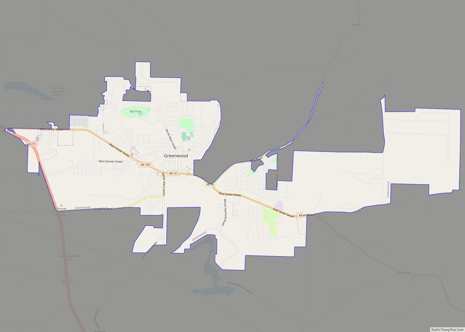
Greenwood is a city in and one of the two county seats of Sebastian County, Arkansas, United States. It is the fifth largest municipality in the Fort Smith, Arkansas–Oklahoma Metropolitan Statistical Area with a population of 8,952 according to the 2010 US Census. According to estimates based on the most recent census, the population of Greenwood in 2018 was 9,397.
| Name: | Greenwood city |
|---|---|
| LSAD Code: | 25 |
| LSAD Description: | city (suffix) |
| State: | Arkansas |
| County: | Sebastian County |
| Elevation: | 525 ft (160 m) |
| Total Area: | 10.97 sq mi (28.43 km²) |
| Land Area: | 10.82 sq mi (28.03 km²) |
| Water Area: | 0.15 sq mi (0.39 km²) |
| Total Population: | 9,516 |
| Population Density: | 879.16/sq mi (339.45/km²) |
| ZIP code: | 72936 |
| Area code: | 479 |
| FIPS code: | 0528780 |
| GNISfeature ID: | 0057848 |
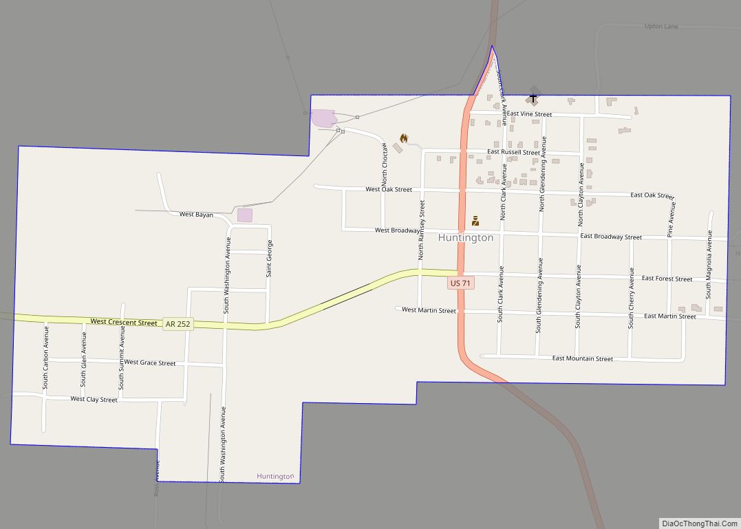
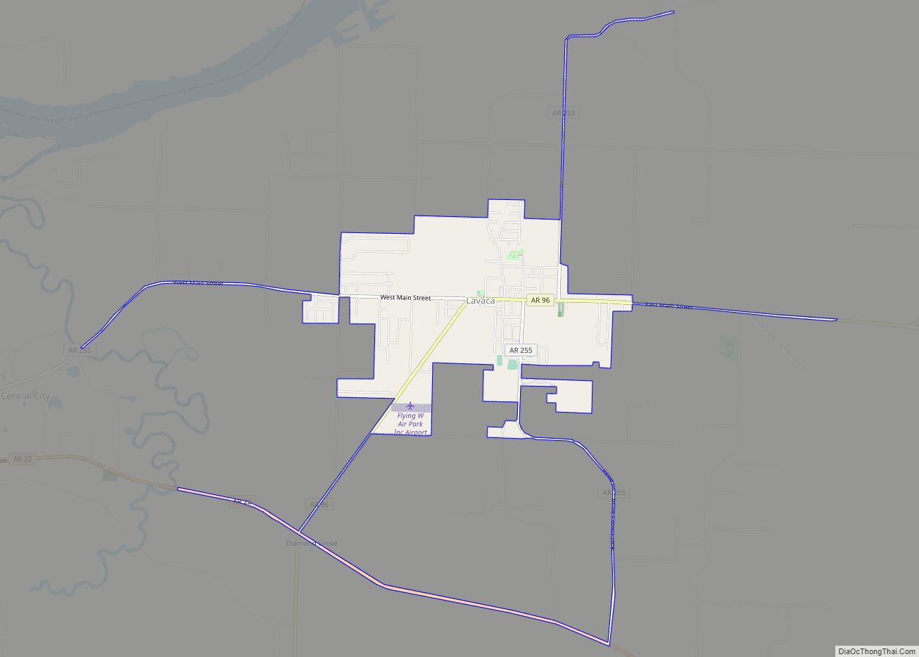
Online Interactive Map
Click on ![]() to view map in "full screen" mode.
to view map in "full screen" mode.
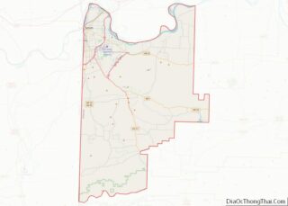
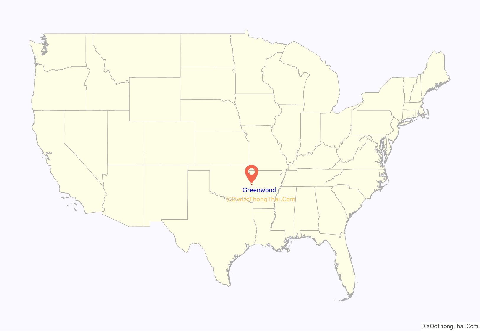
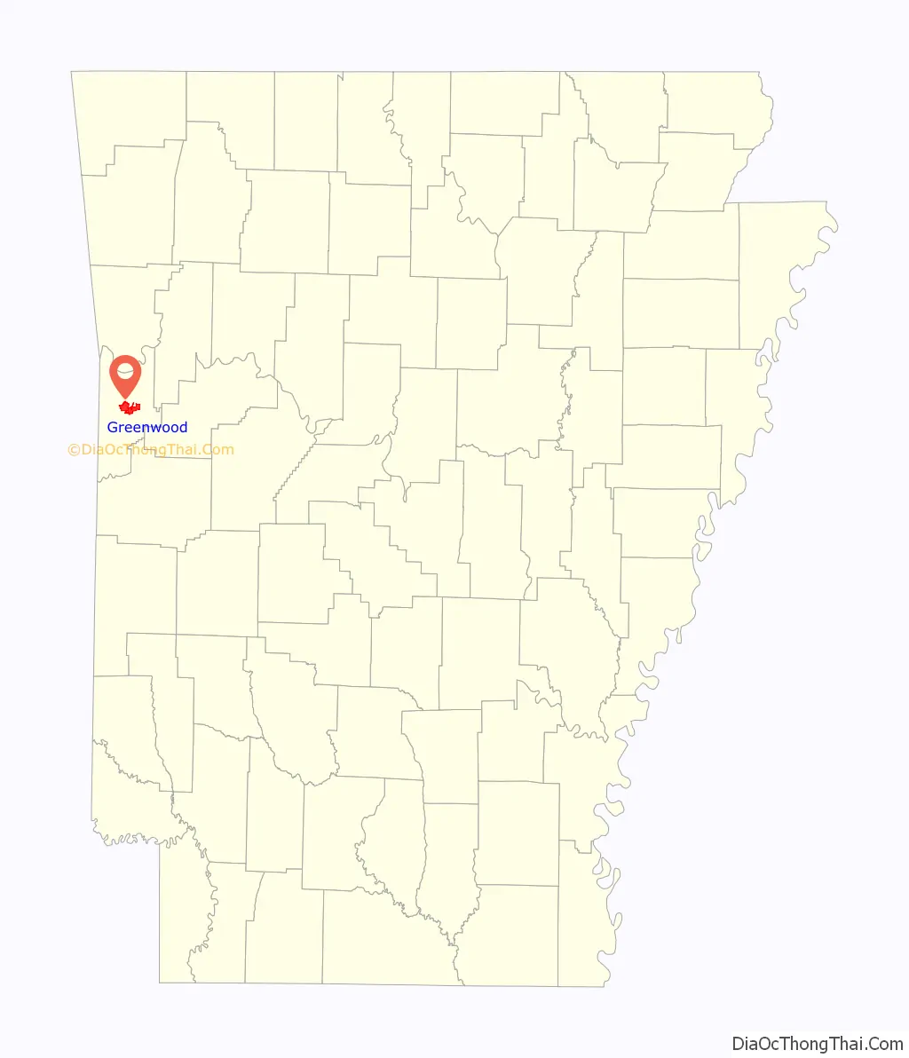
Greenwood location map. Where is Greenwood city?
History
Greenwood was founded in 1851 when its location was selected for the first county seat of Sebastian County. The town was named for Judge Alfred Burton Greenwood. Judge Greenwood had been elected the previous year to serve as Circuit Judge over ten Northwest Arkansas counties. The first court house was a log structure, replaced in 1865 by a frame court house which was built in the center of the public square. This courthouse later burned and in 1916 the courthouse was relocated south of the square. Since that time the square has become a city park and site of many festivals, city picnics and celebrations.
The growth of Greenwood was comparatively slow, but by the breaking out of the Civil War it had attained some importance as a business center and by 1889 its business directory listed General Merchandise, Drugs, Groceries, Cotton Gin, Grist and Saw Mill, 3 Hotels, 3 Blacksmith and wood shops, 3 physicians, 1 dentist and 7 attorneys.
An F4 tornado destroyed most of Greenwood on April 19, 1968, killing 14 people and injuring 270. Damage was estimated at $1.5 million.
A park is located in the center of town. Known as “Town Square”, the area is a center for town activities.
The clock and bell tower that stands in the middle of town square was designed and built in 1976 in recognition of the United States’ bicentennial. The bell tower houses the clock and bell that was once in the courthouse that was destroyed by the tornado. The clock and bell were used in the bell tower to recognize and remember the 14 people who died during the tornado.
The square was the site for the Sebastian County Court House until 1916 when a new one was built across the street on the south side. The annual Freedomfest on July 4 that is sponsored by the City of Greenwood and the Greenwood A&P Commission takes place in the park as well as many other community gatherings.
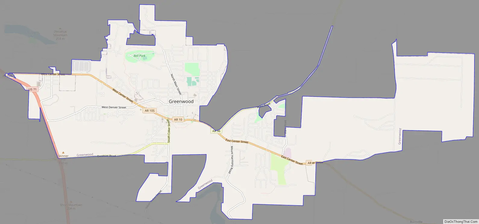
Greenwood Road Map
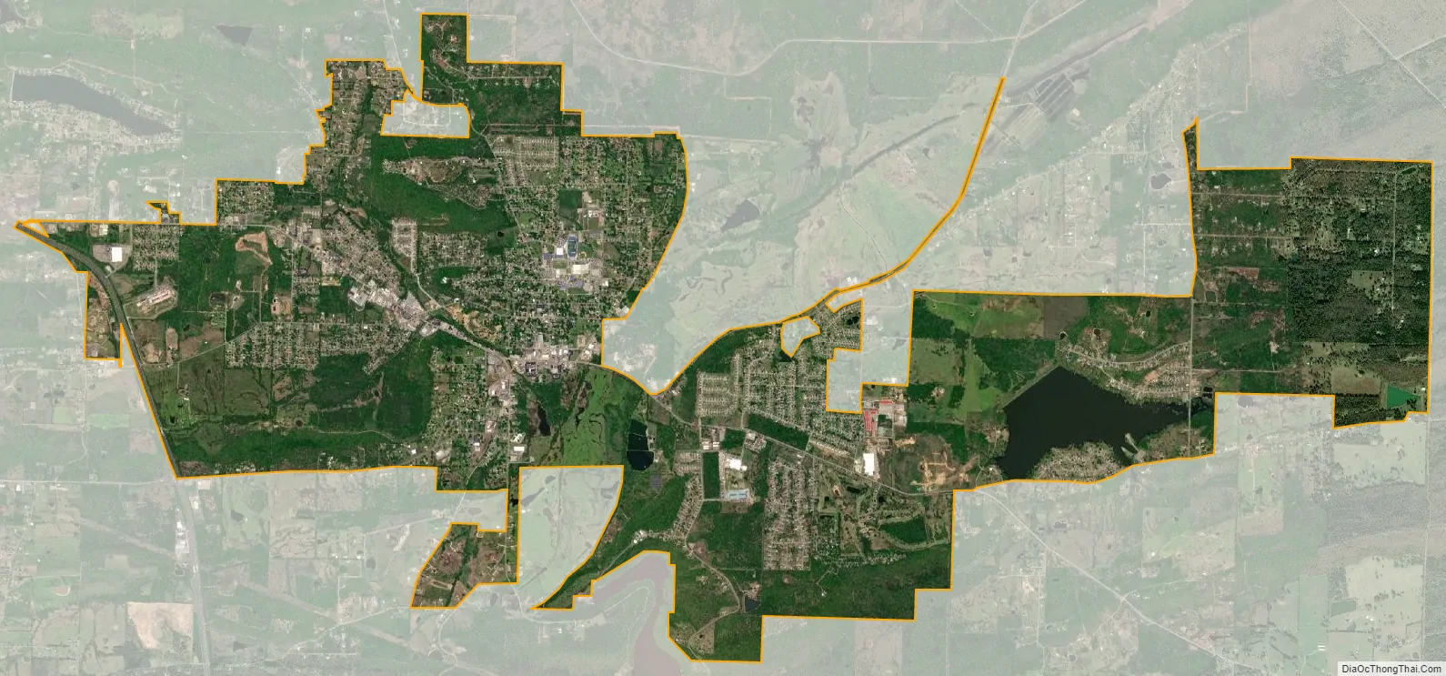
Greenwood city Satellite Map
Geography
Greenwood is located at 35°12′56″N 94°15′12″W / 35.21556°N 94.25333°W / 35.21556; -94.25333 (35.215534, -94.253351).
According to the United States Census Bureau, the city has a total area of 9.3 square miles (24 km), of which 9.2 square miles (24 km) is land and 0.1 square miles (0.26 km) (1.39%) is water.
See also
Map of Arkansas State and its subdivision:- Arkansas
- Ashley
- Baxter
- Benton
- Boone
- Bradley
- Calhoun
- Carroll
- Chicot
- Clark
- Clay
- Cleburne
- Cleveland
- Columbia
- Conway
- Craighead
- Crawford
- Crittenden
- Cross
- Dallas
- Desha
- Drew
- Faulkner
- Franklin
- Fulton
- Garland
- Grant
- Greene
- Hempstead
- Hot Spring
- Howard
- Independence
- Izard
- Jackson
- Jefferson
- Johnson
- Lafayette
- Lawrence
- Lee
- Lincoln
- Little River
- Logan
- Lonoke
- Madison
- Marion
- Miller
- Mississippi
- Monroe
- Montgomery
- Nevada
- Newton
- Ouachita
- Perry
- Phillips
- Pike
- Poinsett
- Polk
- Pope
- Prairie
- Pulaski
- Randolph
- Saint Francis
- Saline
- Scott
- Searcy
- Sebastian
- Sevier
- Sharp
- Stone
- Union
- Van Buren
- Washington
- White
- Woodruff
- Yell
- Alabama
- Alaska
- Arizona
- Arkansas
- California
- Colorado
- Connecticut
- Delaware
- District of Columbia
- Florida
- Georgia
- Hawaii
- Idaho
- Illinois
- Indiana
- Iowa
- Kansas
- Kentucky
- Louisiana
- Maine
- Maryland
- Massachusetts
- Michigan
- Minnesota
- Mississippi
- Missouri
- Montana
- Nebraska
- Nevada
- New Hampshire
- New Jersey
- New Mexico
- New York
- North Carolina
- North Dakota
- Ohio
- Oklahoma
- Oregon
- Pennsylvania
- Rhode Island
- South Carolina
- South Dakota
- Tennessee
- Texas
- Utah
- Vermont
- Virginia
- Washington
- West Virginia
- Wisconsin
- Wyoming