Shannon County is a county in the southern portion of the U.S. state of Missouri. As of the 2020 census, the population was 7,031. Its county seat is Eminence. The county was officially organized on January 29, 1841, and was named in honor of George F. “Peg-Leg” Shannon, a member of the Lewis and Clark Expedition. It is the second-largest county by area in Missouri.
Missouri’s first copper mine was opened in Shannon County in 1846 and Missouri’s only manganese mine was opened here during World War II.
As of the 2000 census, Shannon County ranked 78th on the list of counties with the lowest per capita income and 46th on the list of counties with the lowest median household incomes in the United States, making it the poorest county in Missouri.
| Name: | Shannon County |
|---|---|
| FIPS code: | 29-203 |
| State: | Missouri |
| Founded: | January 29, 1841 |
| Named for: | George Shannon |
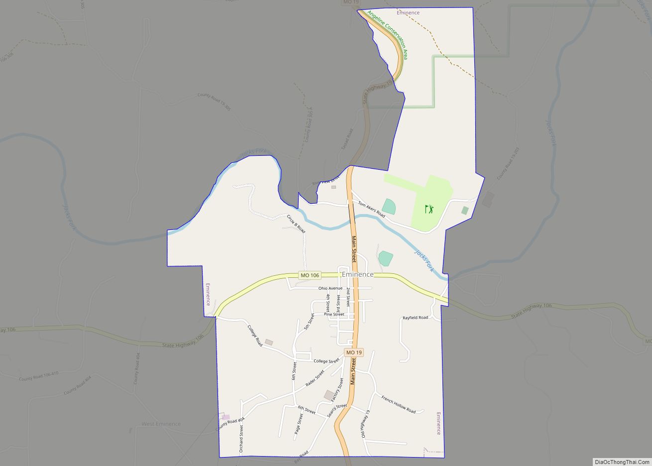
| Seat: | Eminence |
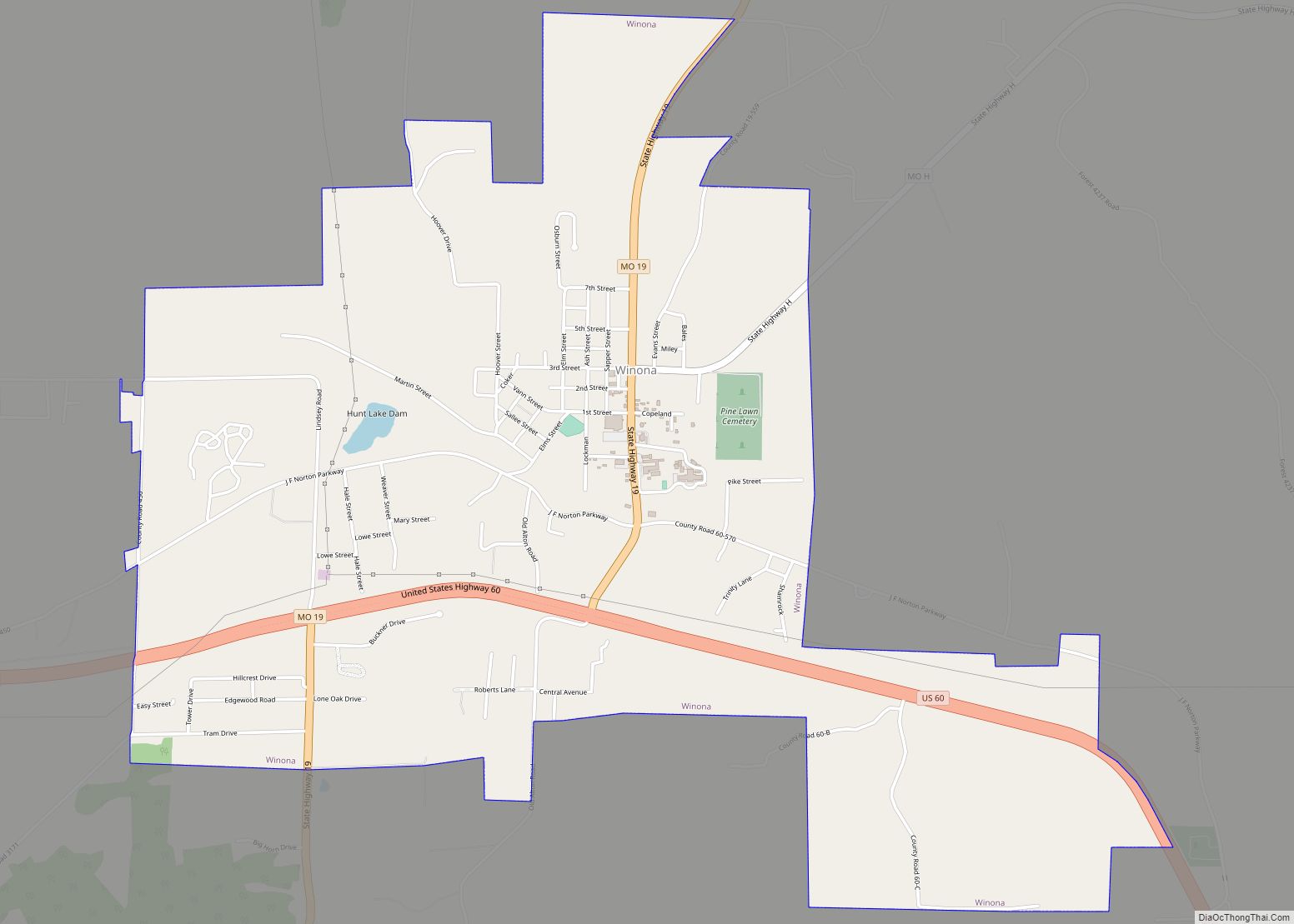
| Largest city: | Winona |
| Total Area: | 1,004 sq mi (2,600 km²) |
| Land Area: | 1,004 sq mi (2,600 km²) |
| Total Population: | 7,031 |
| Population Density: | 7.0/sq mi (2.7/km²) |
| Time zone: | UTC−6 (Central) |
| Summer Time Zone (DST): | UTC−5 (CDT) |
| Website: | www.shannon-county.com |
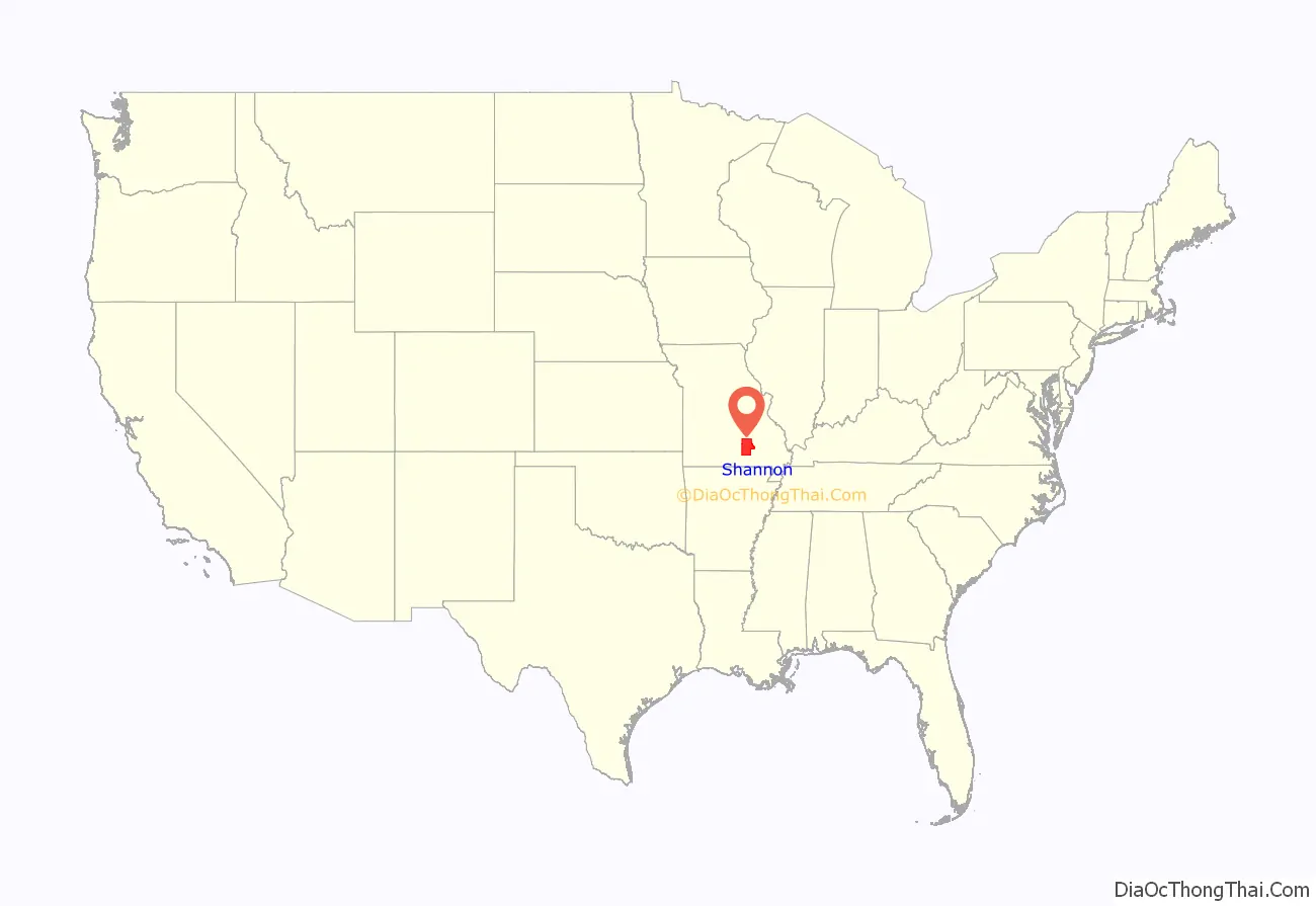
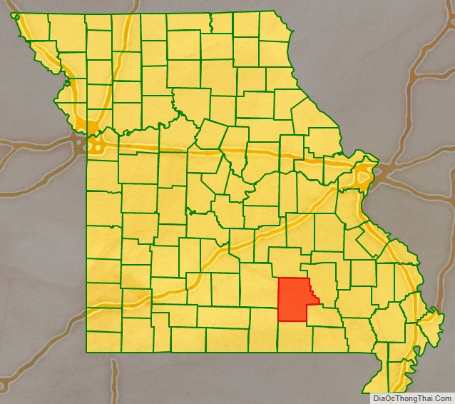
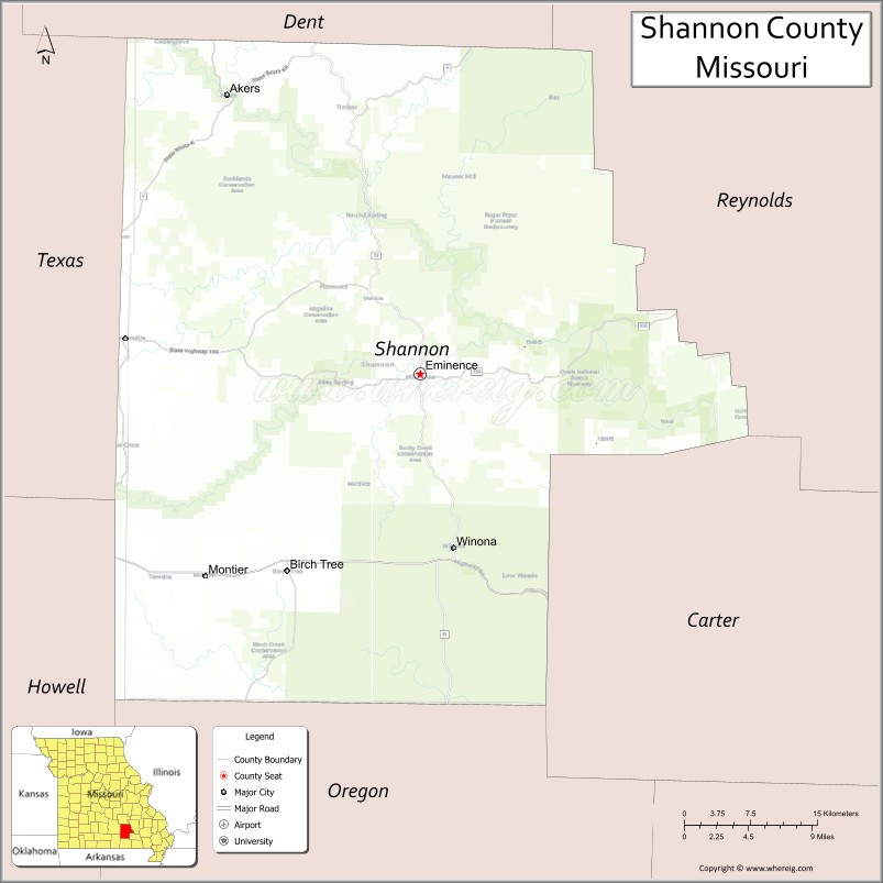
Shannon County location map. Where is Shannon County?
History
The Great Tri-State Tornado of March 18, 1925 appears to have begun in Moore Township; most likely as constituent tornadoes of a tornado family preceding the infamous very long tack tornado that went on to kill 695 people across southeastern Missouri, southern Illinois, and southwestern Indiana over the next several hours.
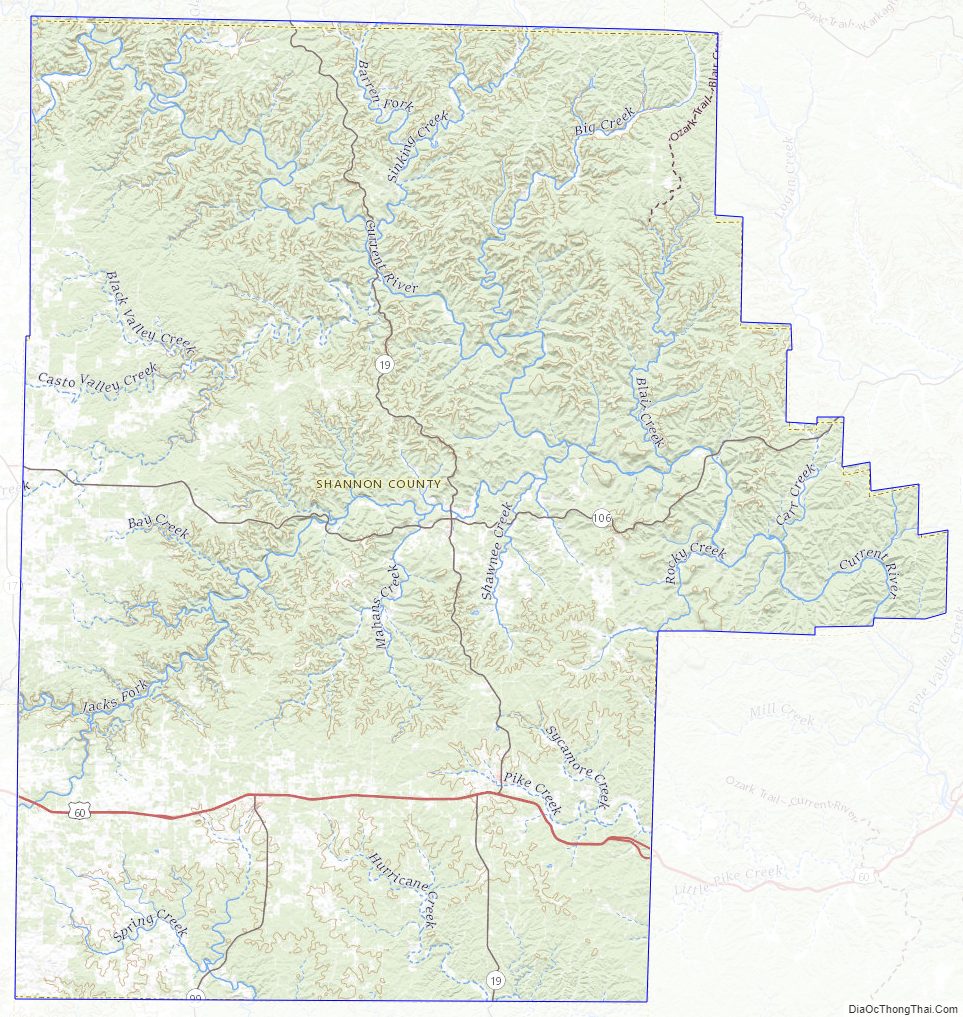
Shannon County Road Map
Geography
According to the U.S. Census Bureau, the county has a total area of 1,004 square miles (2,600 km), of which 1,004 square miles (2,600 km) is land and 0.2 square miles (0.52 km) (0.02%) is water.
Adjacent counties
- Dent County (north)
- Reynolds County (east)
- Carter County (southeast)
- Oregon County (south)
- Howell County (southwest)
- Texas County (west)
Major highways
- U.S. Route 60
- Route 19
- Route 99
- Route 106
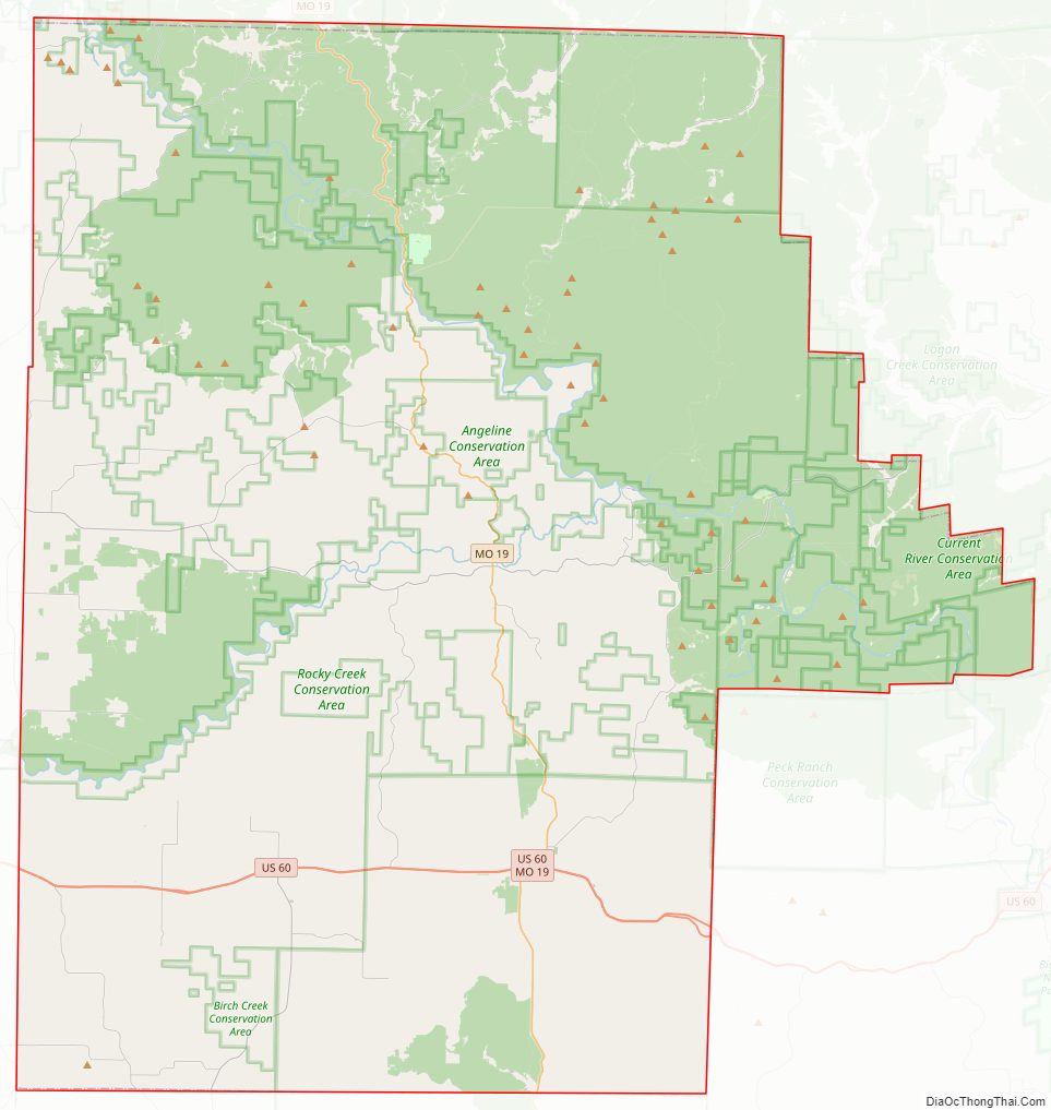
National protected areas
- Mark Twain National Forest (part)
- Ozark National Scenic Riverways (part)
Shannon County Topographic Map
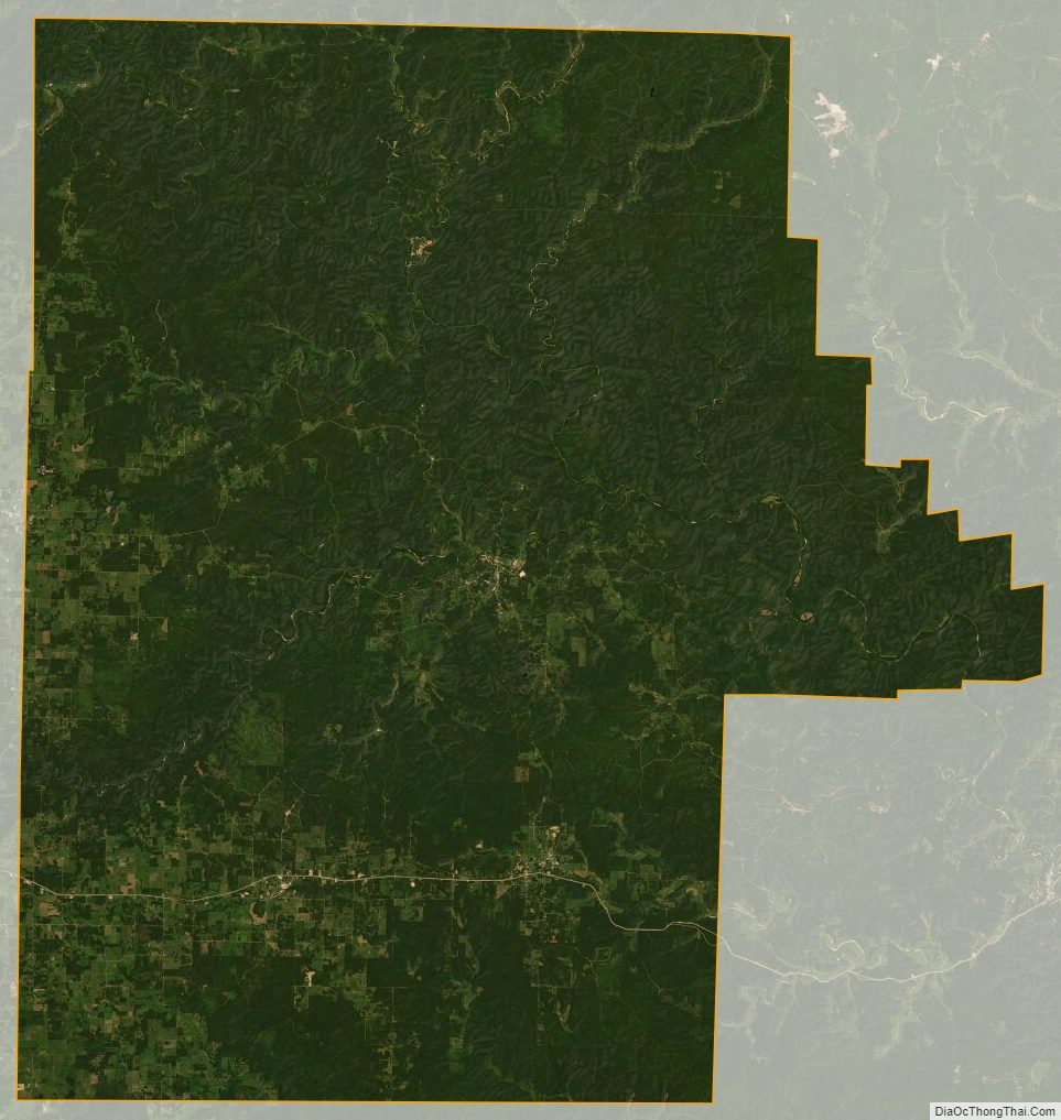
Shannon County Satellite Map
Shannon County Outline Map