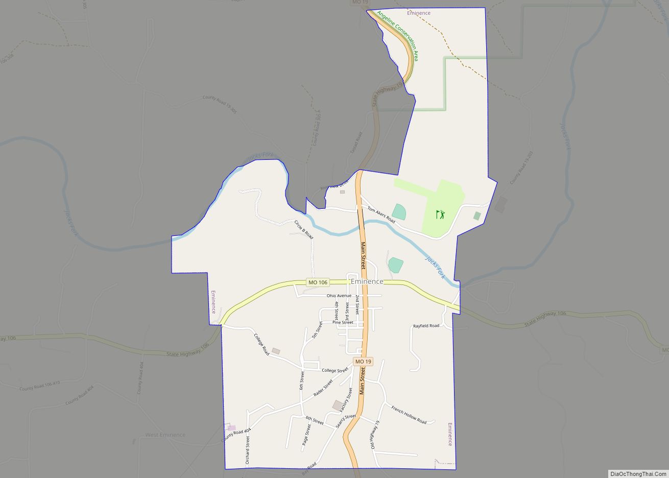
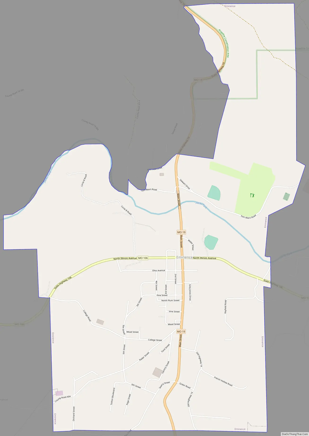
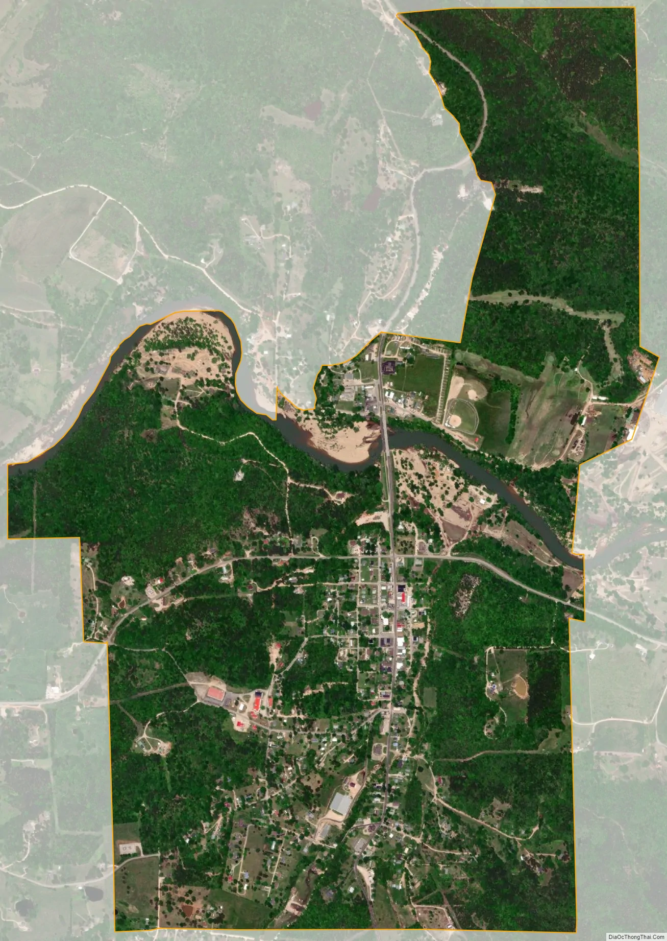
Eminence is a city in Shannon County, Missouri, United States. The population was 515 at the 2020 census. It is the county seat of Shannon County.
| Name: | Eminence city |
|---|---|
| LSAD Code: | 25 |
| LSAD Description: | city (suffix) |
| State: | Missouri |
| County: | Shannon County |
| Elevation: | 686 ft (209 m) |
| Total Area: | 1.89 sq mi (4.88 km²) |
| Land Area: | 1.89 sq mi (4.88 km²) |
| Water Area: | 0.00 sq mi (0.00 km²) |
| Total Population: | 515 |
| Population Density: | 273.21/sq mi (105.50/km²) |
| ZIP code: | 65466 |
| Area code: | 573 |
| FIPS code: | 2922276 |
| GNISfeature ID: | 2394687 |
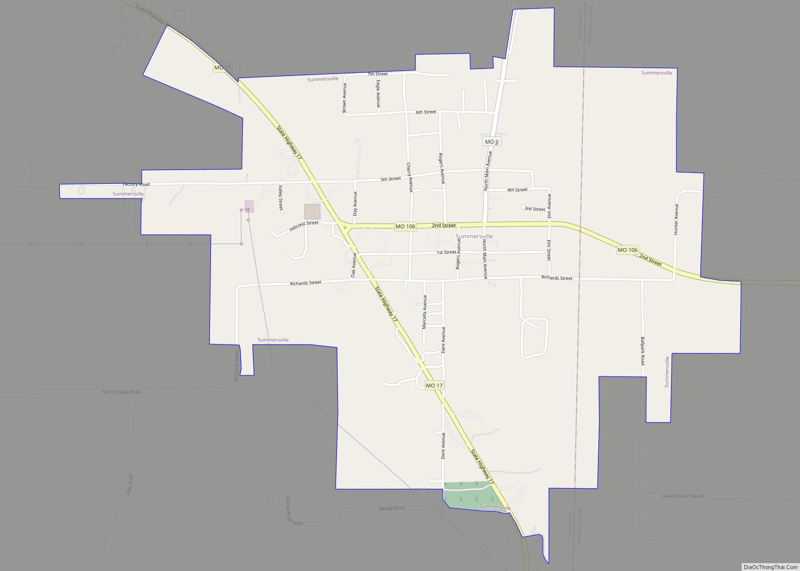
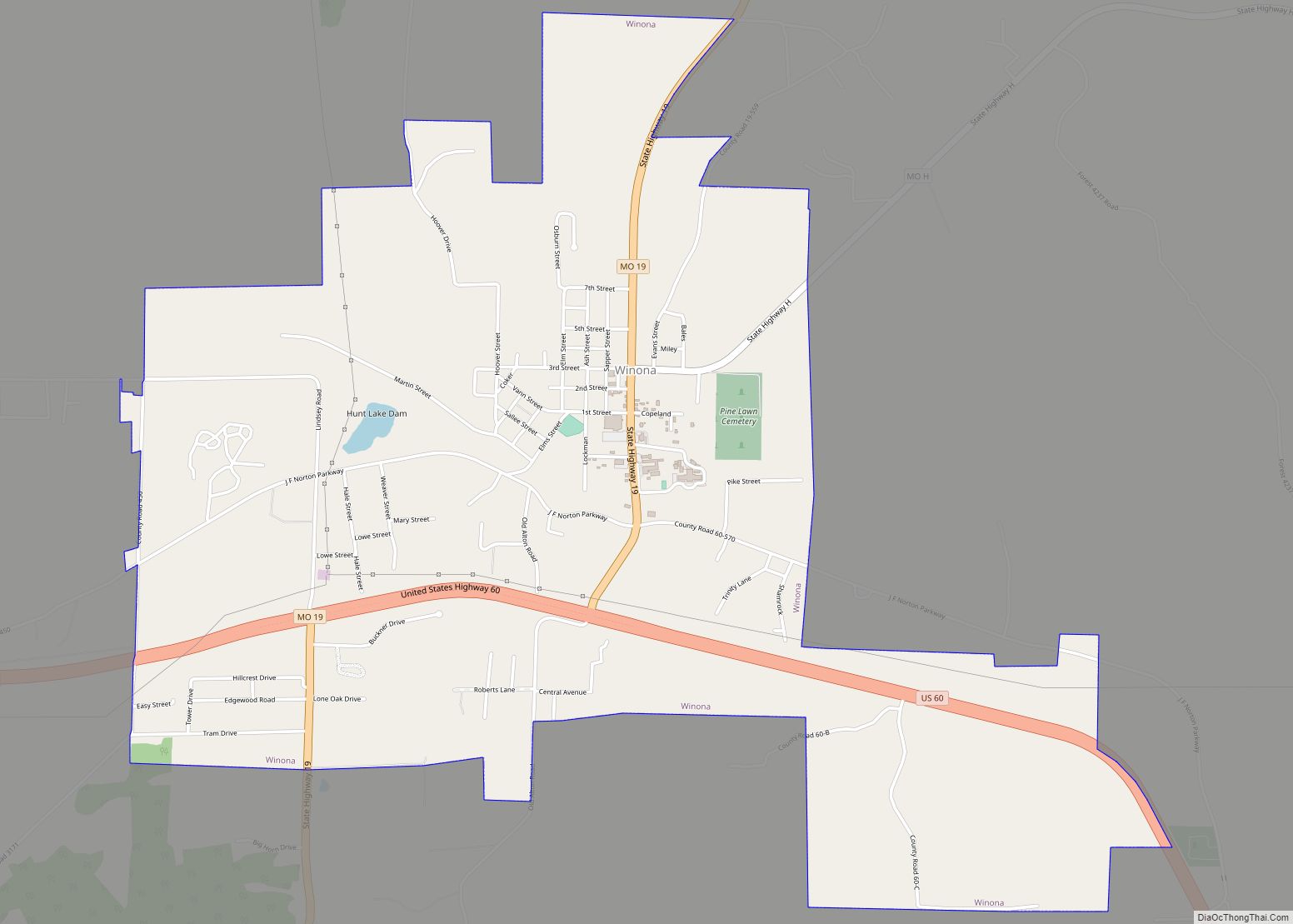
Online Interactive Map
Click on ![]() to view map in "full screen" mode.
to view map in "full screen" mode.
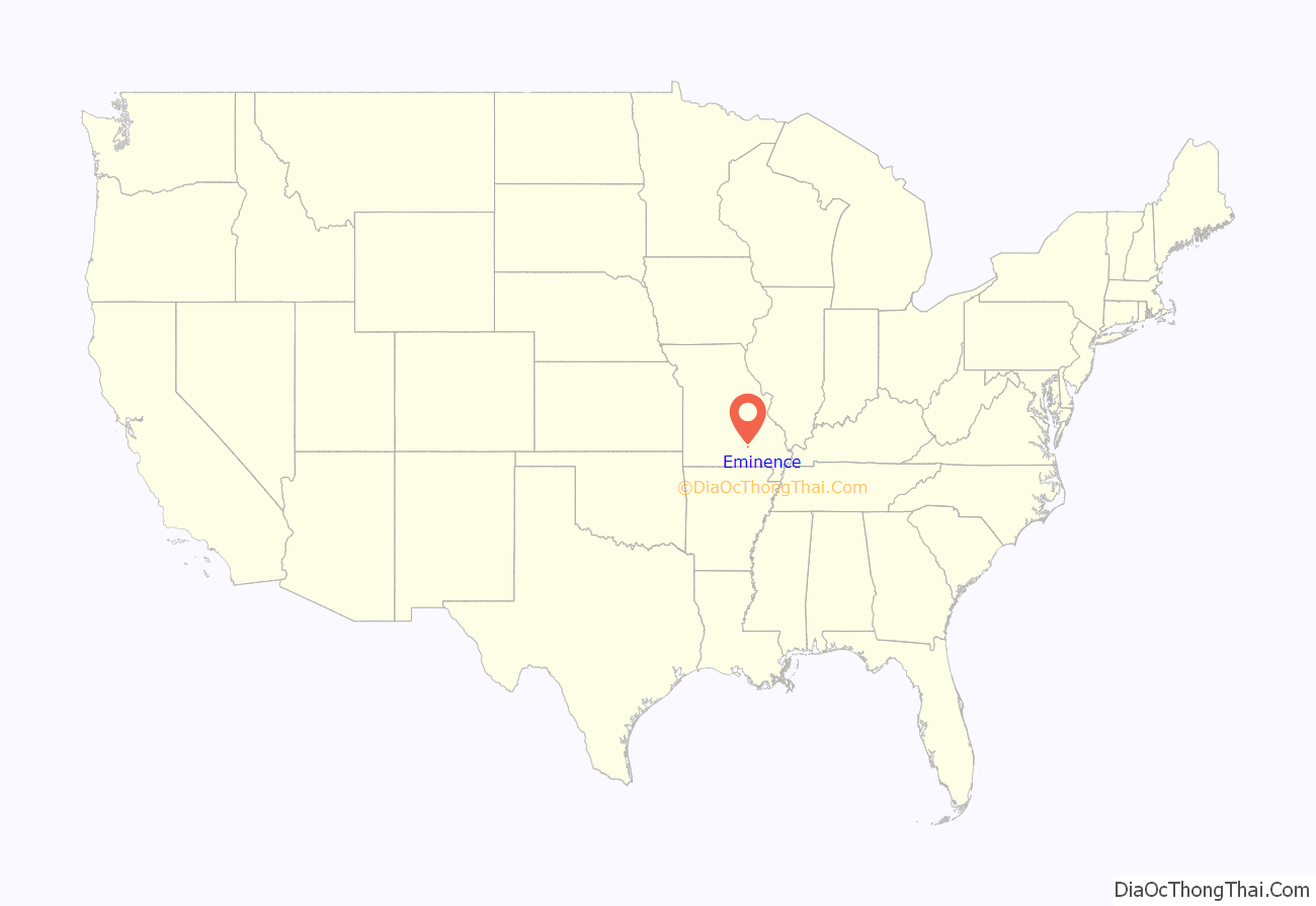
Eminence location map. Where is Eminence city?
History
A post office called Eminence has been in operation since 1844. According to one account, Eminence was so named on account of its lofty elevation, however, this interpretation is disputed.
Eminence Road Map
Eminence city Satellite Map
Geography
Eminence is located in the center of the Ozark National Scenic Riverways, Missouri’s largest national park and the nation’s first protected river system. Popular activities in the Eminence area include canoeing, hunting, fishing, and horseback riding.
Eminence maintains a small-town feel, but in the summer becomes a resort city with several locally owned restaurants, motels, bed & breakfasts, including America’s largest trail riding establishment.
According to the United States Census Bureau, the city has a total area of 1.88 square miles (4.87 km), all land.
See also
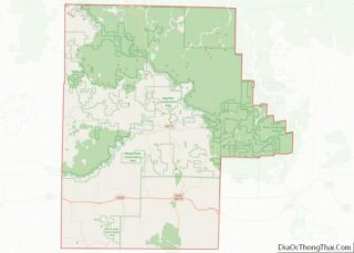
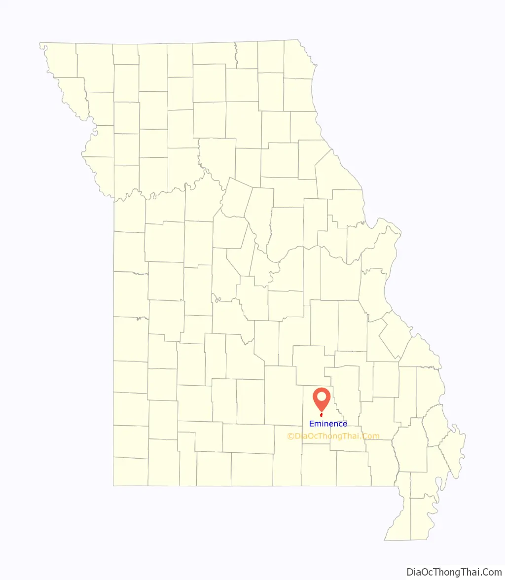
Map of Missouri State and its subdivision:- Adair
- Andrew
- Atchison
- Audrain
- Barry
- Barton
- Bates
- Benton
- Bollinger
- Boone
- Buchanan
- Butler
- Caldwell
- Callaway
- Camden
- Cape Girardeau
- Carroll
- Carter
- Cass
- Cedar
- Chariton
- Christian
- Clark
- Clay
- Clinton
- Cole
- Cooper
- Crawford
- Dade
- Dallas
- Daviess
- De Kalb
- Dent
- Douglas
- Dunklin
- Franklin
- Gasconade
- Gentry
- Greene
- Grundy
- Harrison
- Henry
- Hickory
- Holt
- Howard
- Howell
- Iron
- Jackson
- Jasper
- Jefferson
- Johnson
- Knox
- Laclede
- Lafayette
- Lawrence
- Lewis
- Lincoln
- Linn
- Livingston
- Macon
- Madison
- Maries
- Marion
- McDonald
- Mercer
- Miller
- Mississippi
- Moniteau
- Monroe
- Montgomery
- Morgan
- New Madrid
- Newton
- Nodaway
- Oregon
- Osage
- Ozark
- Pemiscot
- Perry
- Pettis
- Phelps
- Pike
- Platte
- Polk
- Pulaski
- Putnam
- Ralls
- Randolph
- Ray
- Reynolds
- Ripley
- Saint Charles
- Saint Clair
- Saint Francois
- Saint Louis
- Sainte Genevieve
- Saline
- Schuyler
- Scotland
- Scott
- Shannon
- Shelby
- Stoddard
- Stone
- Sullivan
- Taney
- Texas
- Vernon
- Warren
- Washington
- Wayne
- Webster
- Worth
- Wright
- Alabama
- Alaska
- Arizona
- Arkansas
- California
- Colorado
- Connecticut
- Delaware
- District of Columbia
- Florida
- Georgia
- Hawaii
- Idaho
- Illinois
- Indiana
- Iowa
- Kansas
- Kentucky
- Louisiana
- Maine
- Maryland
- Massachusetts
- Michigan
- Minnesota
- Mississippi
- Missouri
- Montana
- Nebraska
- Nevada
- New Hampshire
- New Jersey
- New Mexico
- New York
- North Carolina
- North Dakota
- Ohio
- Oklahoma
- Oregon
- Pennsylvania
- Rhode Island
- South Carolina
- South Dakota
- Tennessee
- Texas
- Utah
- Vermont
- Virginia
- Washington
- West Virginia
- Wisconsin
- Wyoming