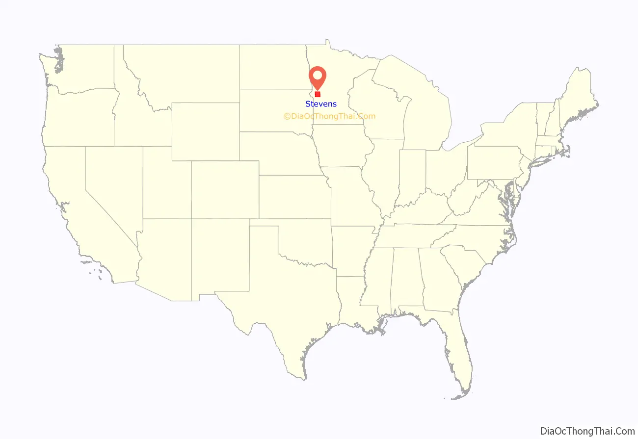
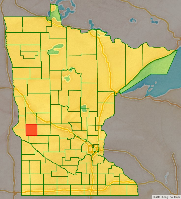
Stevens County is a county in the U.S. state of Minnesota. As of the 2020 census, the population was 9,671. Its county seat is Morris.
| Name: | Stevens County |
|---|---|
| FIPS code: | 27-149 |
| State: | Minnesota |
| Founded: | February 20, 1862 |
| Named for: | Isaac Ingalls Stevens |
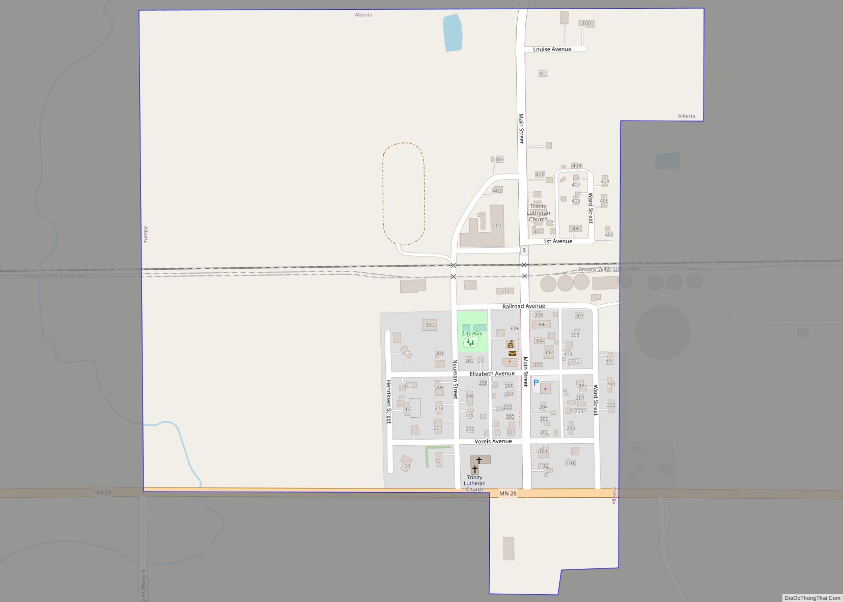
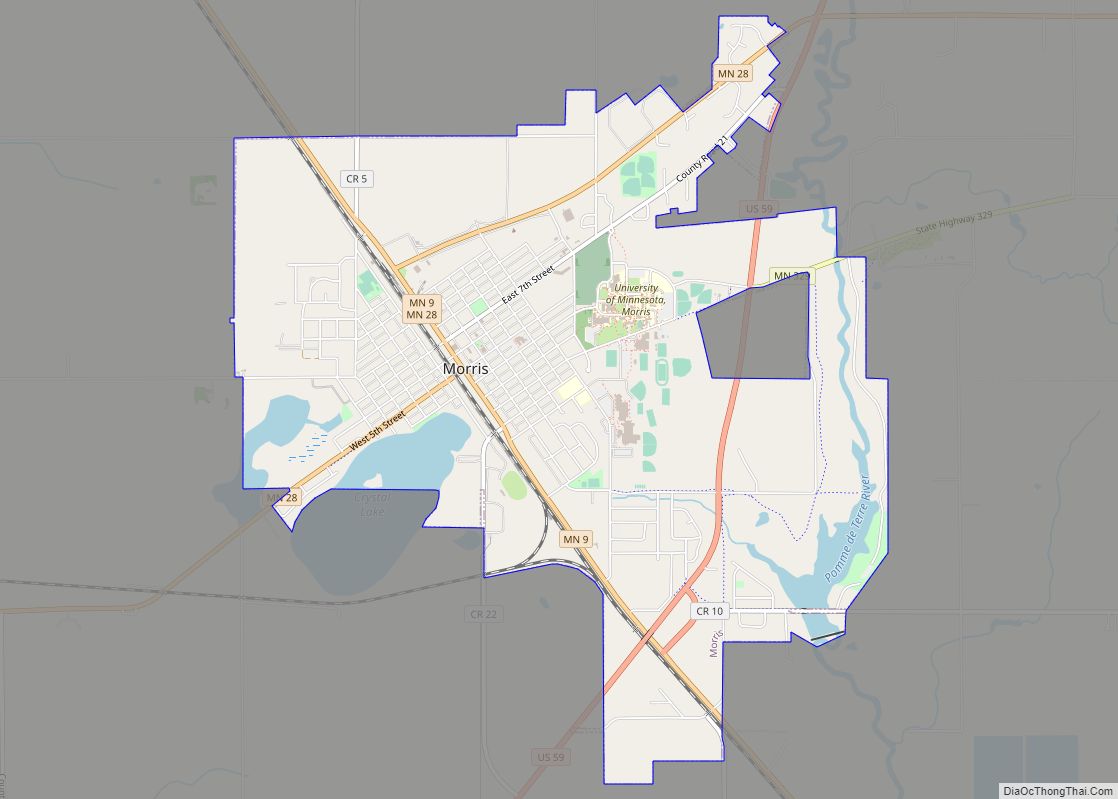
| Seat: | Morris |
| Largest city: | Morris |
| Total Area: | 575 sq mi (1,490 km²) |
| Land Area: | 564 sq mi (1,460 km²) |
| Total Population: | 9,671 |
| Population Density: | 17.1/sq mi (6.6/km²) |
| Time zone: | UTC−6 (Central) |
| Summer Time Zone (DST): | UTC−5 (CDT) |
| Website: | www.co.stevens.mn.us |
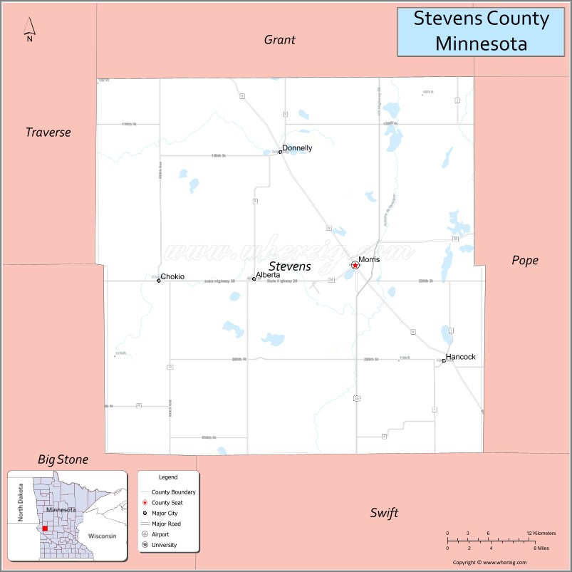
Stevens County location map. Where is Stevens County?
History
The county was created by act of the Minnesota legislature on February 20, 1862. It was not organized at that time, and no county seat was named. The county was named for Isaac Stevens, who had led a railroad survey party across Minnesota in 1853 and was influential in bringing national attention to the Minnesota Territory. The territorial legislature had intended to thus honor Stevens in 1855 when another county was being created, but a clerical error caused that county to be named Stearns. The error was corrected by the 1862 act; by that time Stevens was a brigadier general for the Union Army in the American Civil War. Stevens was killed later that year. The county government was organized in 1872. Morris, which had been platted in 1869, was named the county seat.
The University of Minnesota Morris is in Morris. It was developed in the early 20th century from the Morris Industrial School for Indians, which opened in 1887 and was originally operated by the Roman Catholic Sisters of Mercy under contract to the federal government.
In 1975, a moderate earthquake occurred in the county.
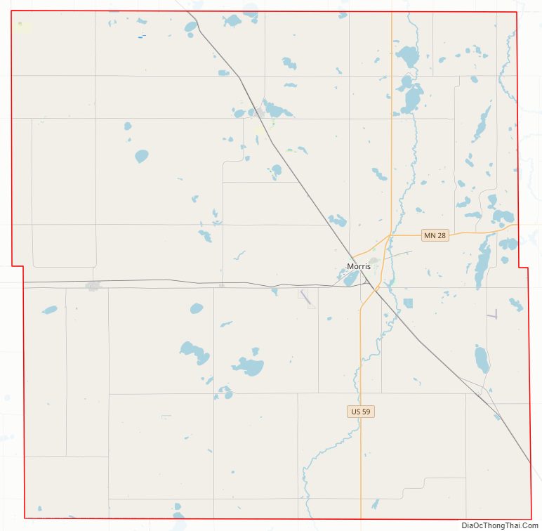
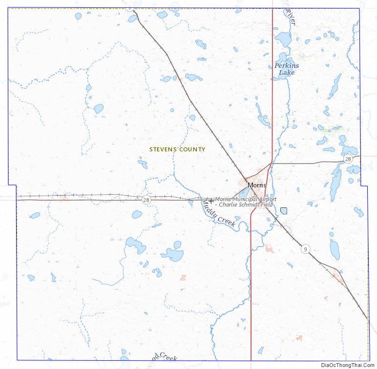
Stevens County Road Map
Geography
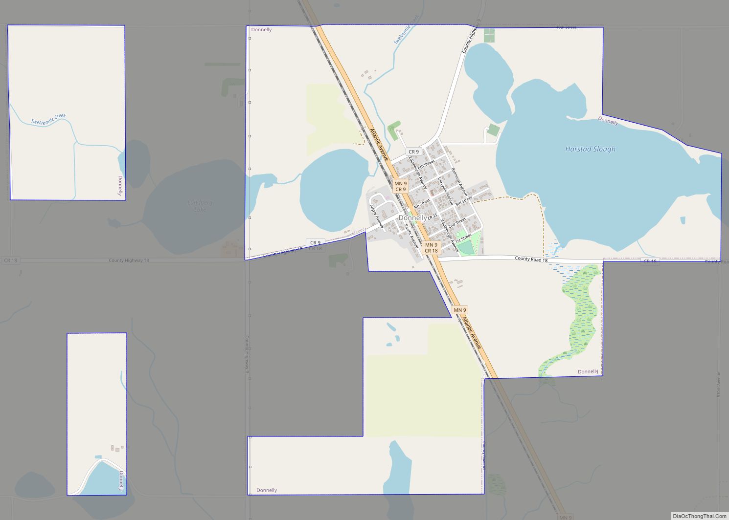
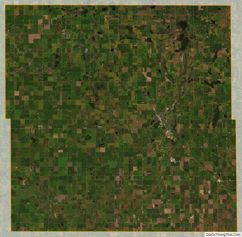
The Pomme de Terre River flows south through central Stevens County, on its way to discharge into the Minnesota River. The county’s terrain consists of rolling hills, with the area mostly devoted to agriculture. The terrain generally slopes to the south, although the northeast and southwest portions rise from the central part of the county. The county’s highest point is on the eastern portion of the northern border, at 1,250′ (381m) ASL. The county has an area of 575 square miles (1,490 km), of which 564 square miles (1,460 km) is land and 12 square miles (31 km) (2.0%) is water.
Major highways
- U.S. Highway 59
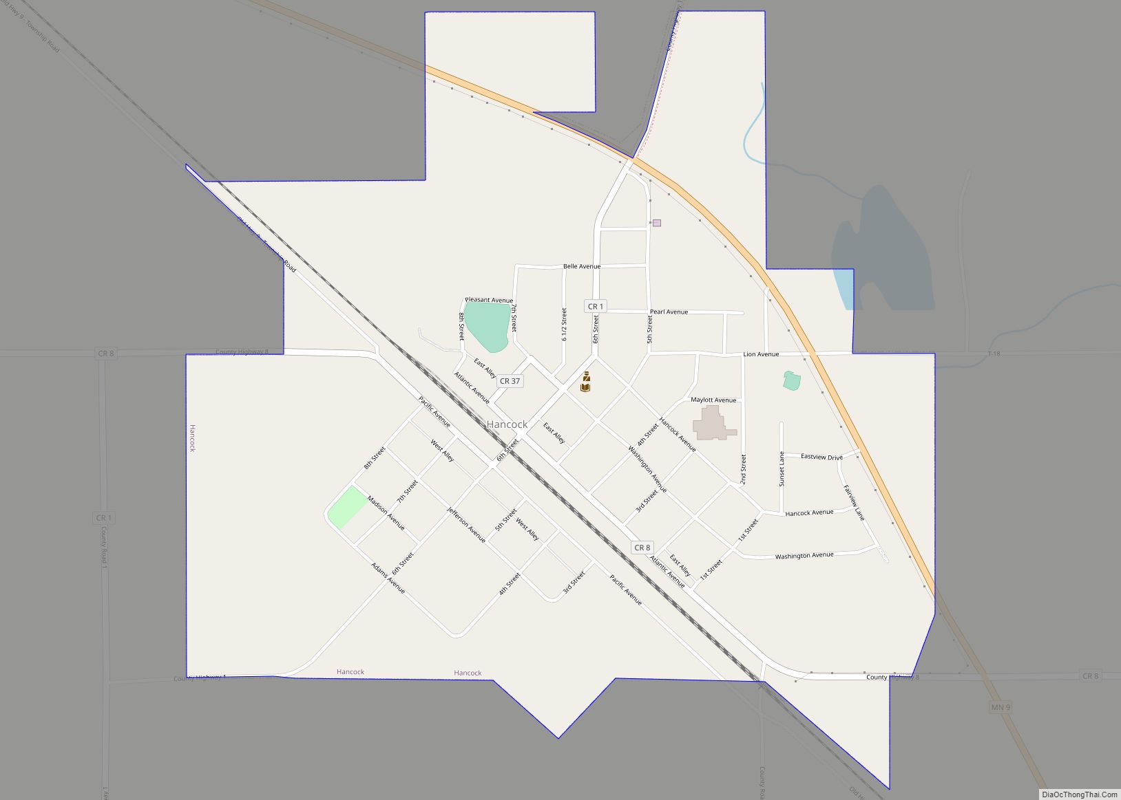
- Minnesota State Highway 9
- Minnesota State Highway 28
- Minnesota State Highway 329
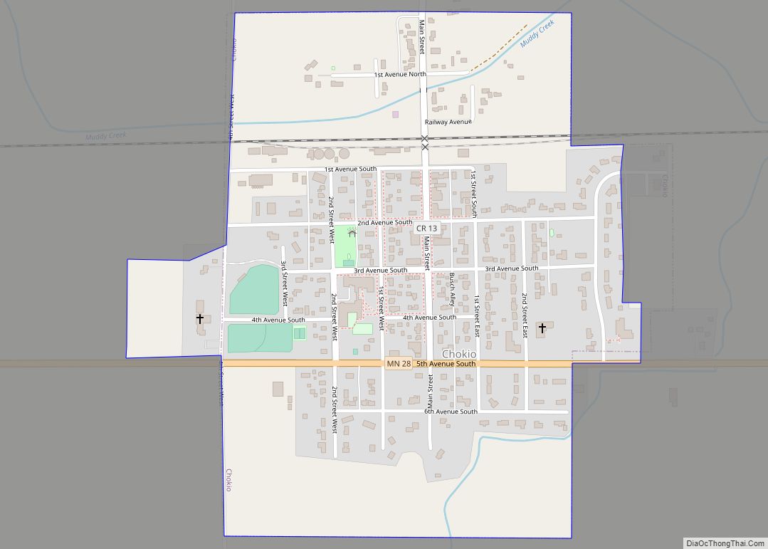
Adjacent counties
- Grant County – north
- Douglas County – northeast
- Pope County – east
- Swift County – south
- Big Stone County – southwest
- Traverse County – northwest
Protected areas
- Alberta Marsh State Wildlife Management Area
- Boekholt Grove State Wildlife Management Area
- Bruillet State Wildlife Management Area
- Cin State Wildlife Management Area
- Dablow State Wildlife Management Area
- Dolven State Wildlife Management Area
- Everglade State Wildlife Management Area
- Klason State Wildlife Management Area
- Kline State Wildlife Management Area
- Mathison State Wildlife Management Area
- Muddy Creek State Wildlife Management Area
- Reimers State Wildlife Management Area
- Robertson State Wildlife Management Area
- Selk State Wildlife Management Area
- Thedin State Wildlife Management Area
- Verlyn Marth Memorial Prairie Scientific and Natural Area
Stevens County Topographic Map
Stevens County Satellite Map
Stevens County Outline Map