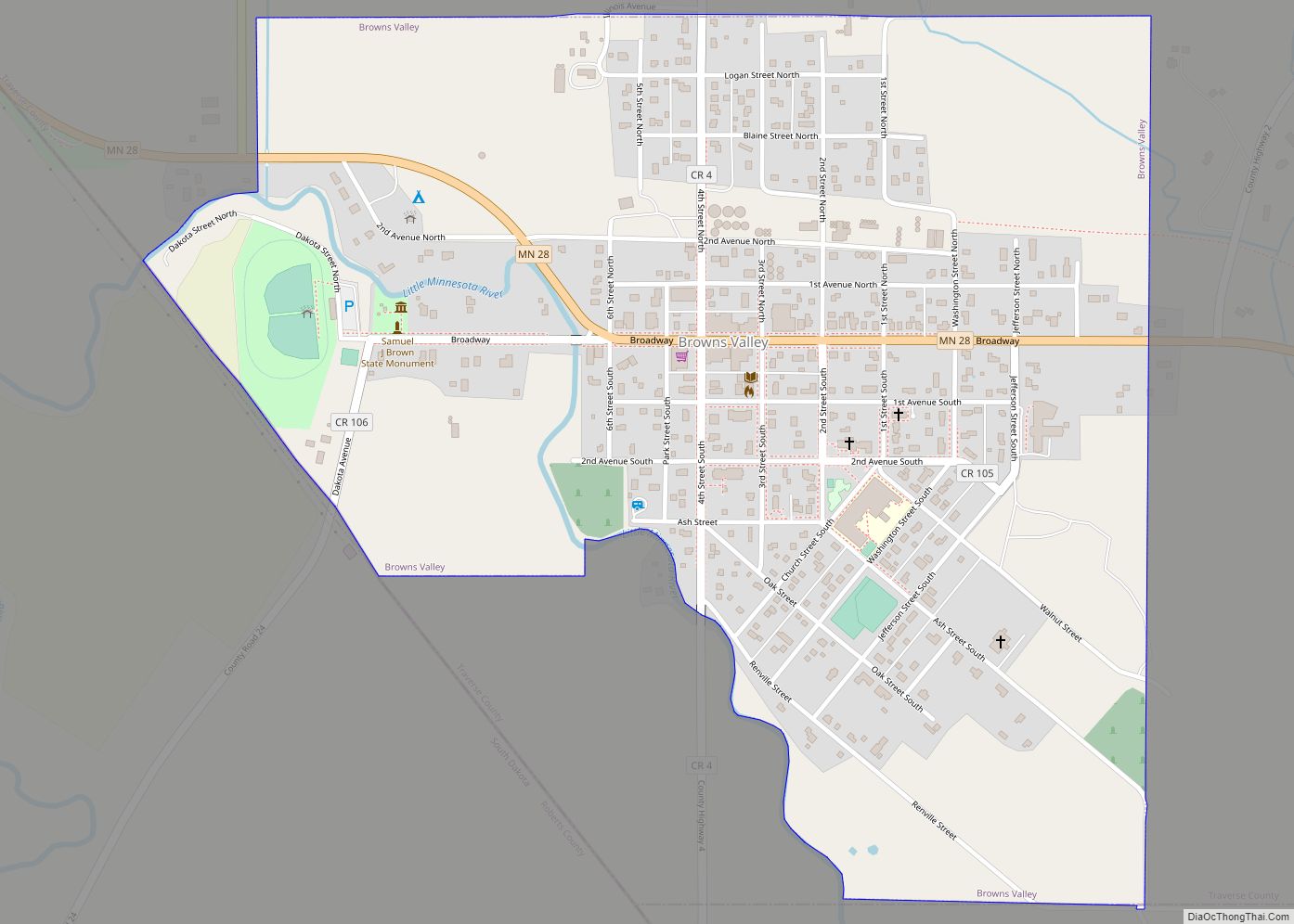
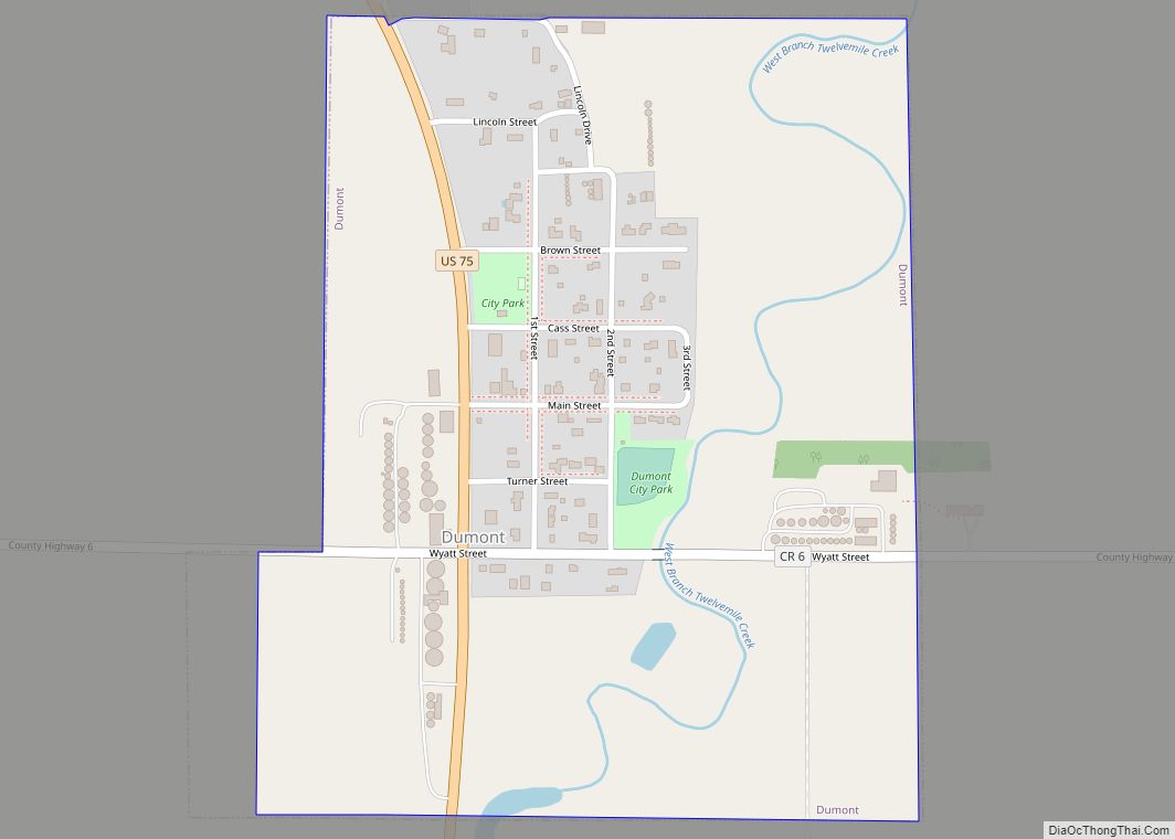
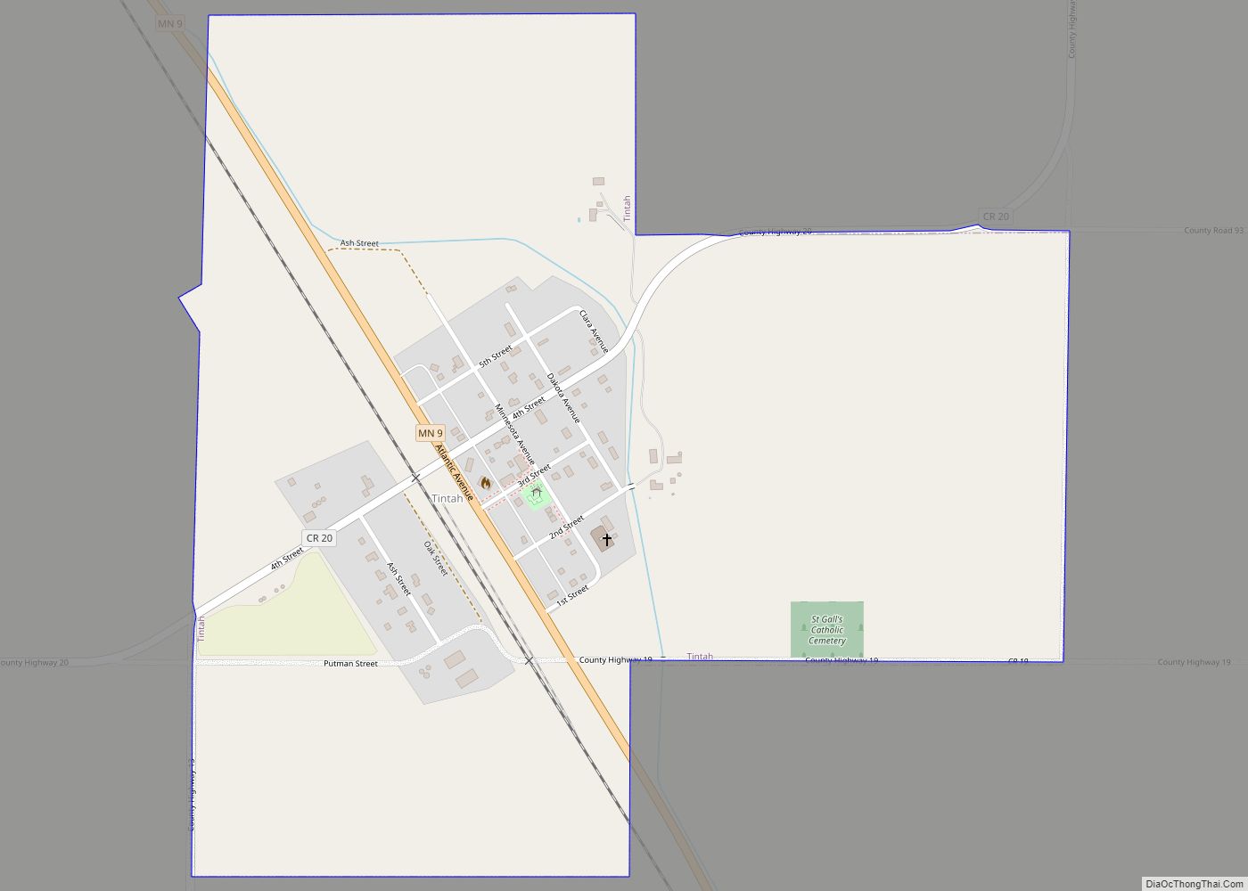
Traverse County (locally /ˈtrævərs/ TRAV-ərss) is a county in the U.S. state of Minnesota. As of the 2020 census, the population was 3,360, making it the least-populous county in Minnesota. Its county seat is Wheaton. The county was founded in 1862 and organized in 1881.
| Name: | Traverse County |
|---|---|
| FIPS code: | 27-155 |
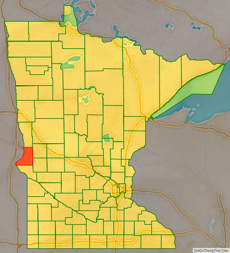
| State: | Minnesota |
| Founded: | 1862 |
| Named for: | Lake Traverse |
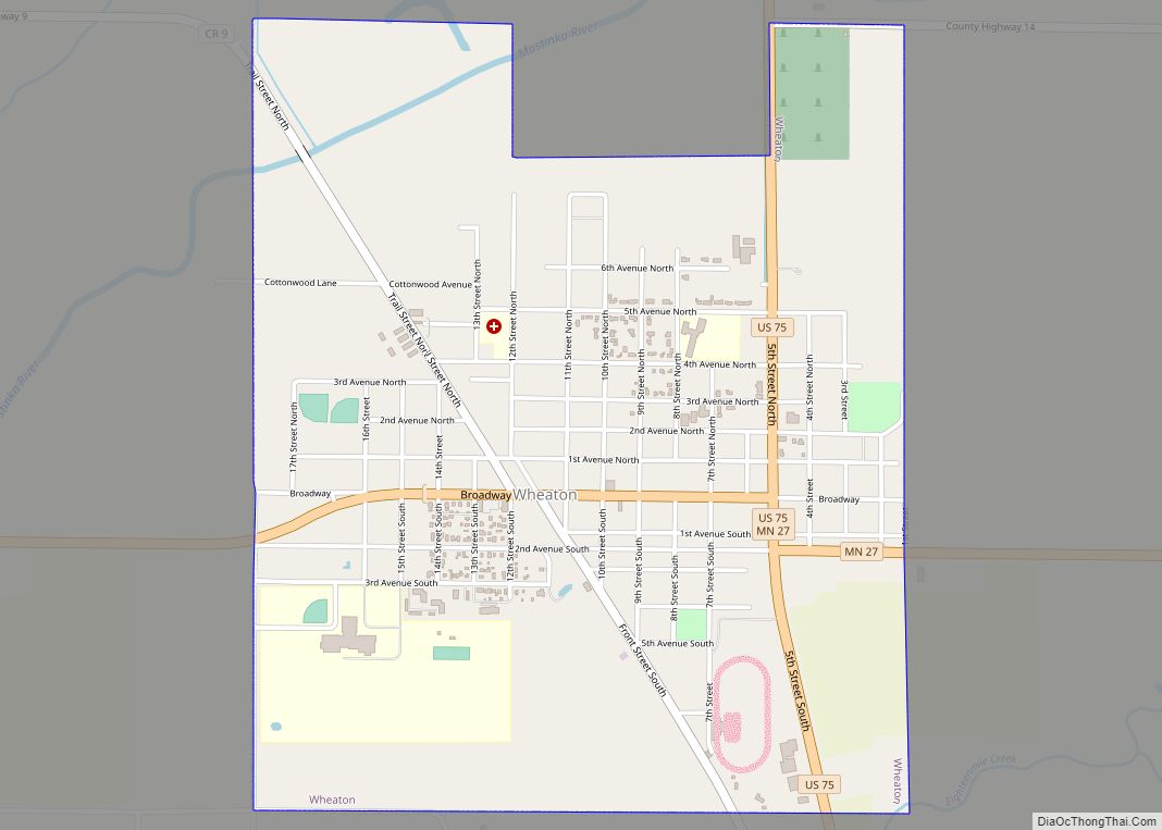
| Seat: | Wheaton |
| Largest city: | Wheaton |
| Total Area: | 586 sq mi (1,520 km²) |
| Land Area: | 574 sq mi (1,490 km²) |
| Total Population: | 3,360 |
| Population Density: | 5.9/sq mi (2.3/km²) |
| Time zone: | UTC−6 (Central) |
| Summer Time Zone (DST): | UTC−5 (CDT) |
| Website: | www.co.traverse.mn.us |
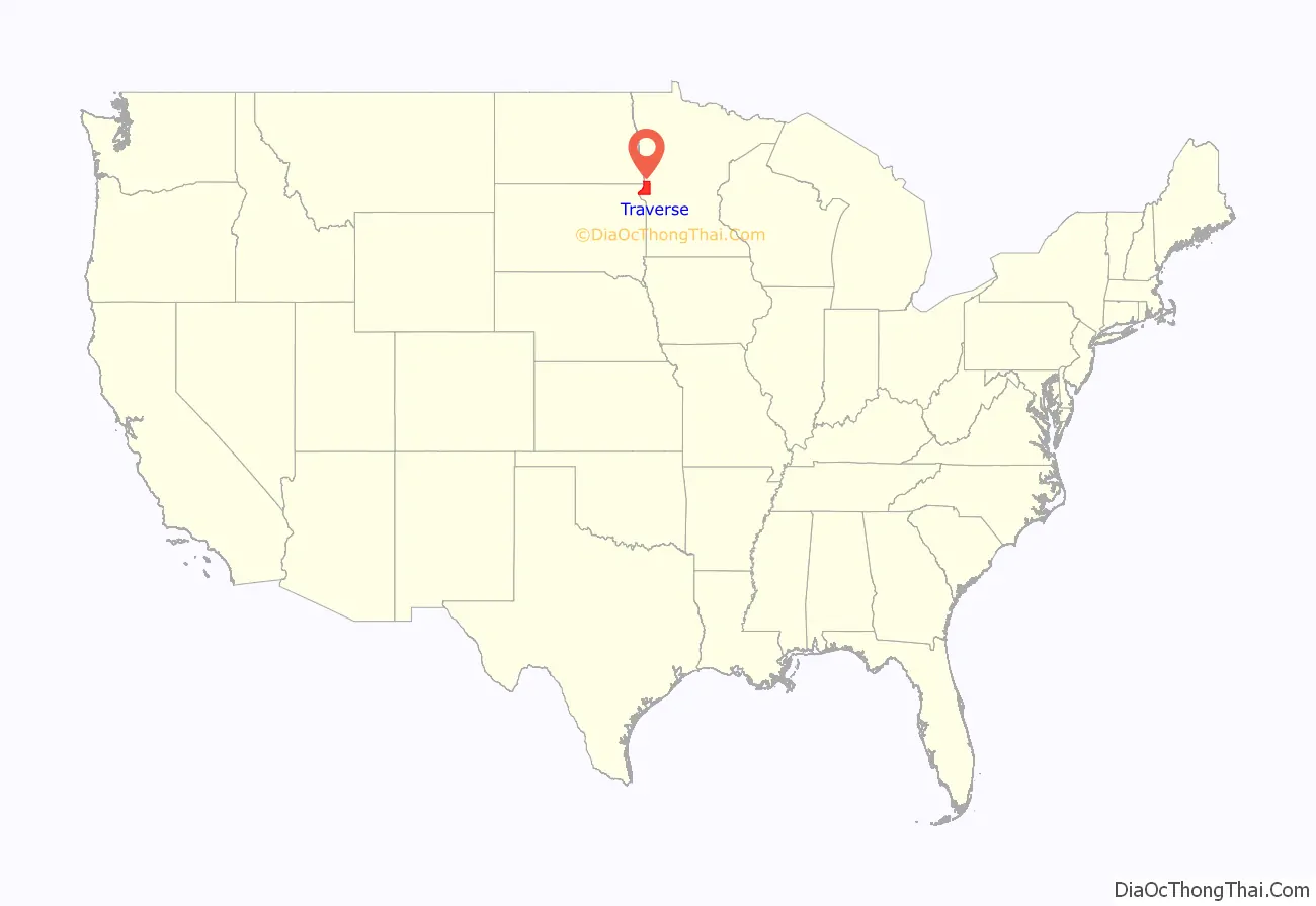
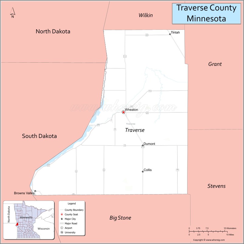
Traverse County location map. Where is Traverse County?
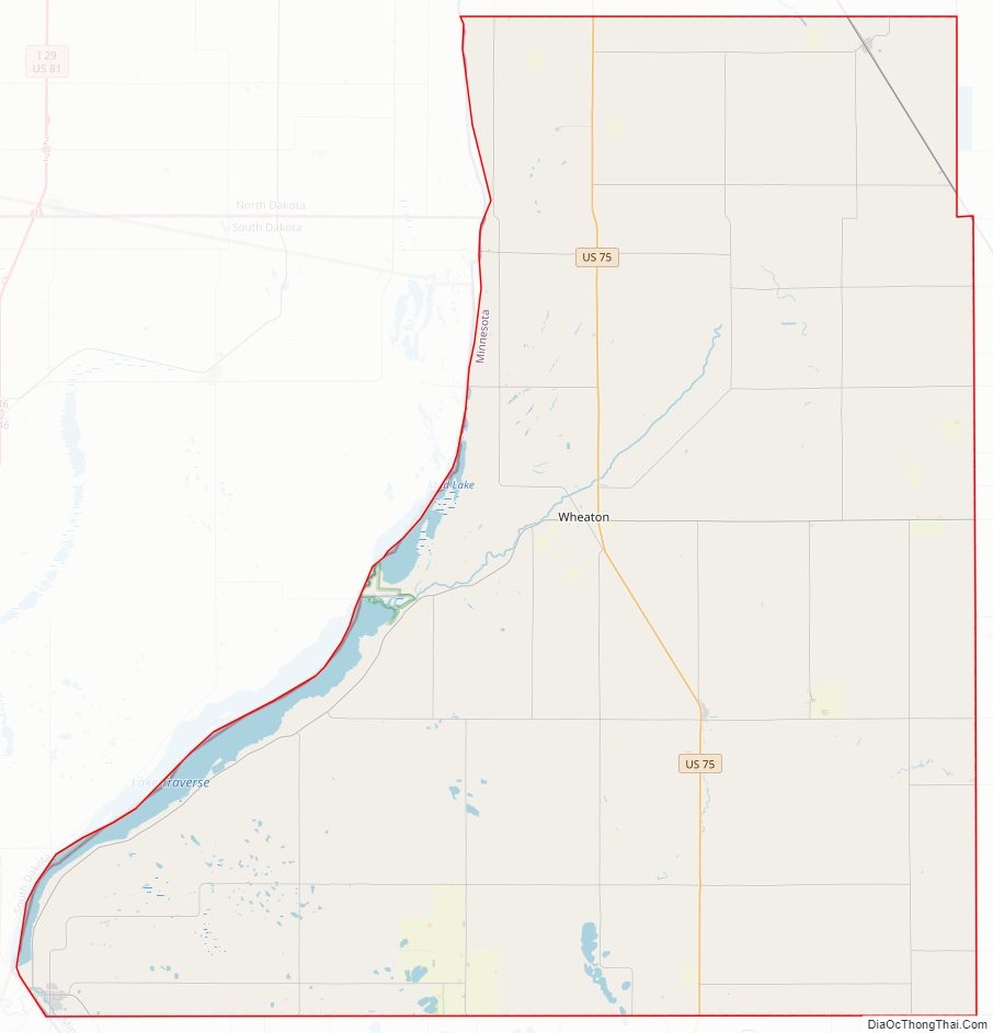
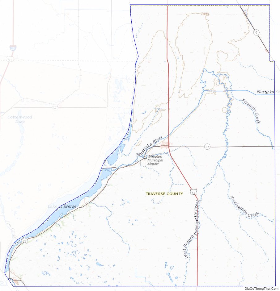
Traverse County Road Map
Geography
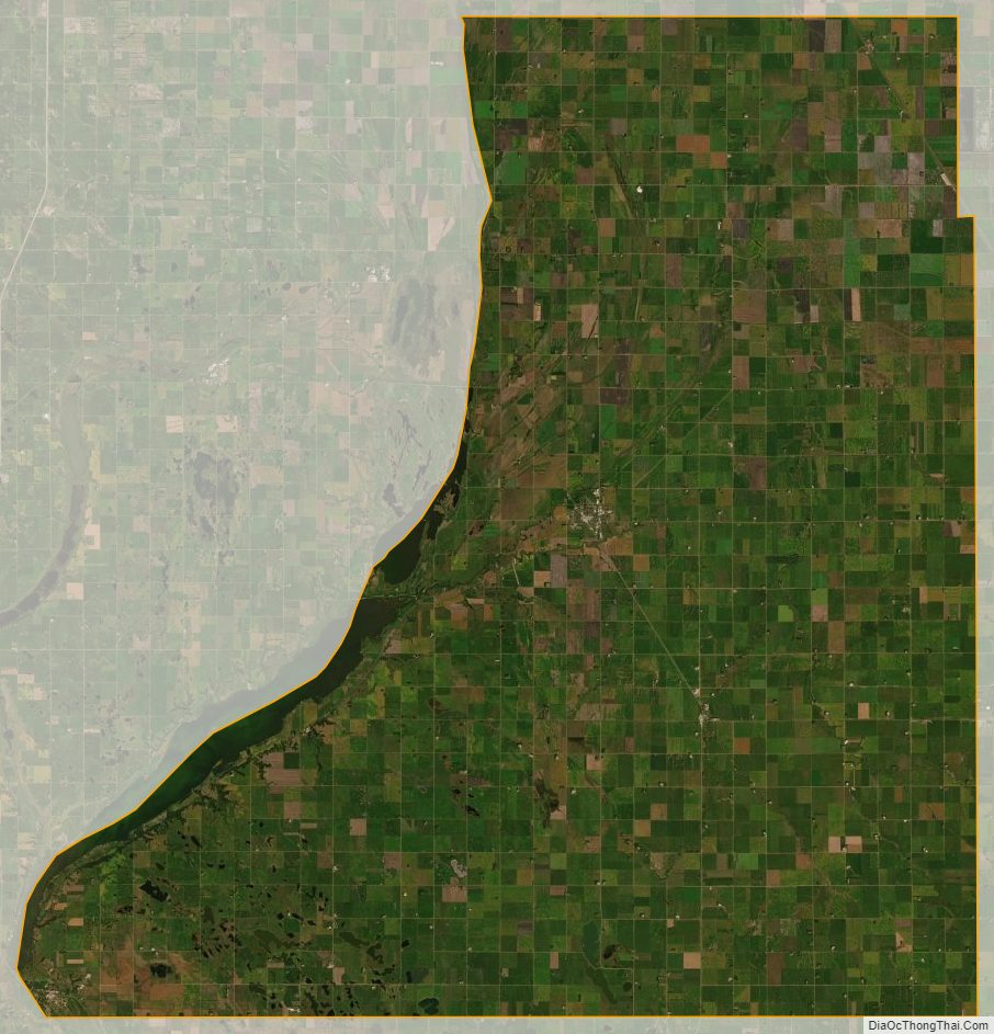
Traverse County lies on the western edge of Minnesota. Its western border abuts the eastern borders of the states of North and South Dakota. The Red River flows northward along the county’s western line. The Mustinka River flows southwestward through the county’s upper portion, discharging into Lake Traverse. The county terrain consists of low rolling hills, fully devoted to agriculture except in developed areas. The terrain slopes to the west and north, with its highest point at the southeastern corner, at 1,119′ (341m) ASL. The county has a total area of 586 square miles (1,520 km), of which 574 square miles (1,490 km) is land and 12 square miles (31 km) (2.0%) is water.
Major highways
- U.S. Route 75
- Minnesota State Highway 9
- Minnesota State Highway 27
- Minnesota State Highway 28
- Minnesota State Highway 117
Adjacent counties
- Wilkin County – north
- Grant County – northeast
- Stevens County – southeast
- Big Stone County – south
- Roberts County, South Dakota – southwest
- Richland County, North Dakota northwest
Protected areas
- Reservation Dam State Wildlife Management Area
- White Rock Dam State Wildlife Management Area
Lakes
- Lake Traverse (part)
- Mud Lake – (part)
- Saint Marys Lake
- Wet Lake
Traverse County Topographic Map
Traverse County Satellite Map
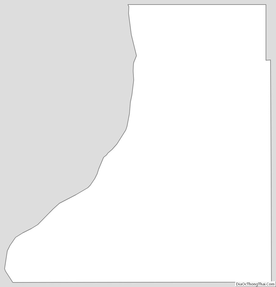
Traverse County Outline Map