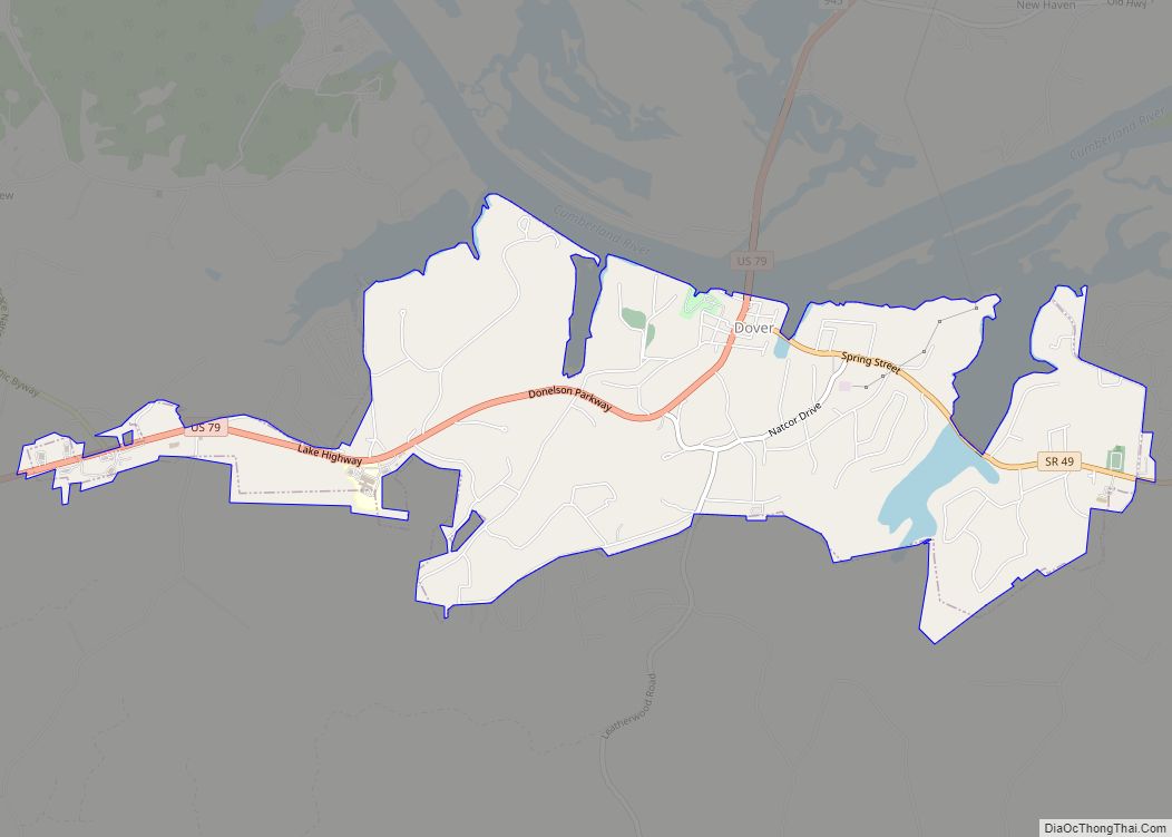
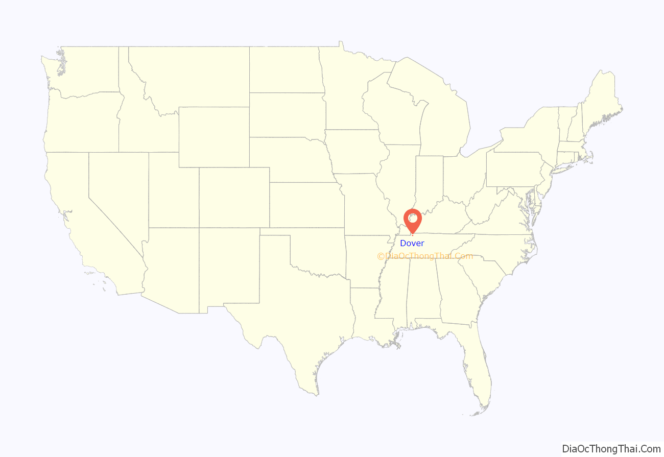
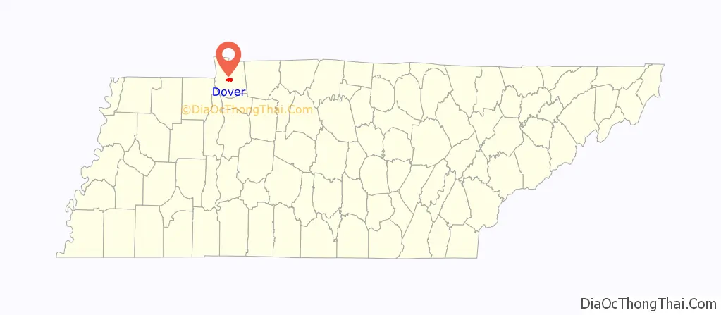
Dover is a city in and the county seat of Stewart County, Tennessee, 67 miles (108 km) west-northwest of Nashville on the Cumberland River. Fort Donelson National Cemetery is in Dover. The population was 1,442 at the 2000 census and the 2010 census showed a population of 1,417.
Dover is part of the Clarksville, TN–Kentucky Metropolitan Statistical Area.
| Name: | Dover city |
|---|---|
| LSAD Code: | 25 |
| LSAD Description: | city (suffix) |
| State: | Tennessee |
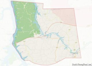
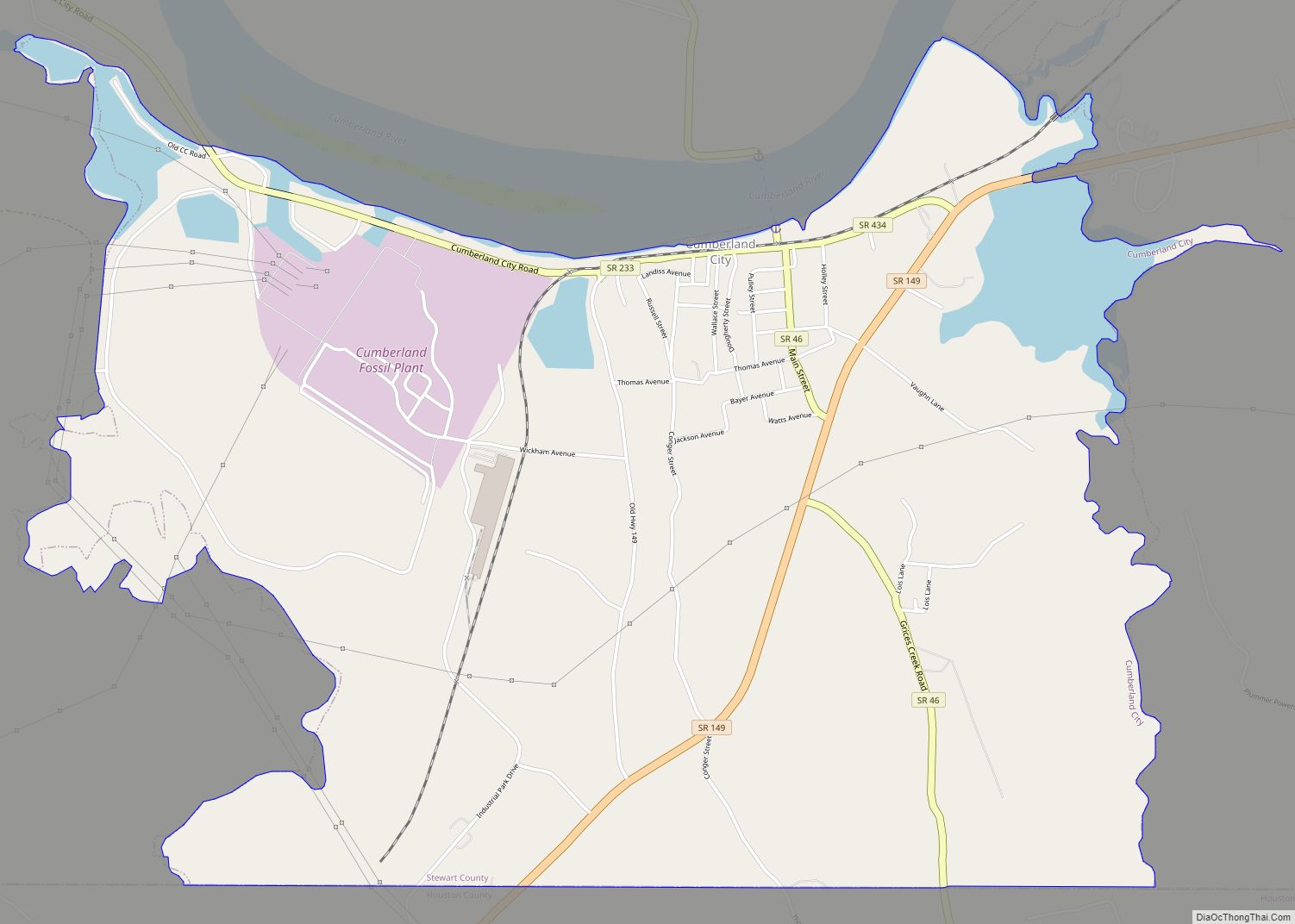
| County: | Stewart County |
| Elevation: | 413 ft (126 m) |
| Total Area: | 3.96 sq mi (10.25 km²) |
| Land Area: | 3.85 sq mi (9.98 km²) |
| Water Area: | 0.10 sq mi (0.27 km²) |
| Total Population: | 1,826 |
| Population Density: | 473.79/sq mi (182.91/km²) |
| ZIP code: | 37058 |
| Area code: | 931 |
| FIPS code: | 4721400 |
| GNISfeature ID: | 1282753 |
| Website: | www.dovertn.com |
Online Interactive Map
Click on ![]() to view map in "full screen" mode.
to view map in "full screen" mode.
Dover location map. Where is Dover city?
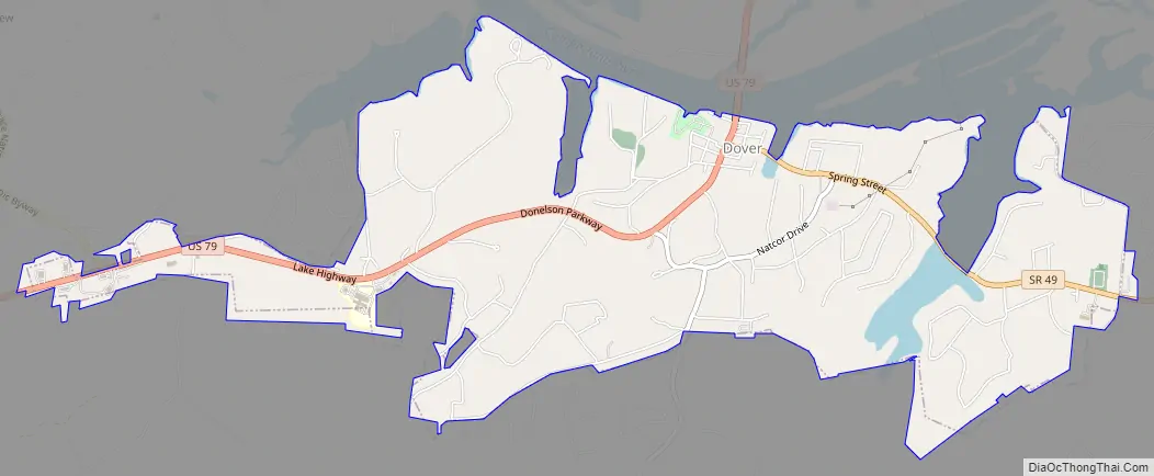
Dover Road Map
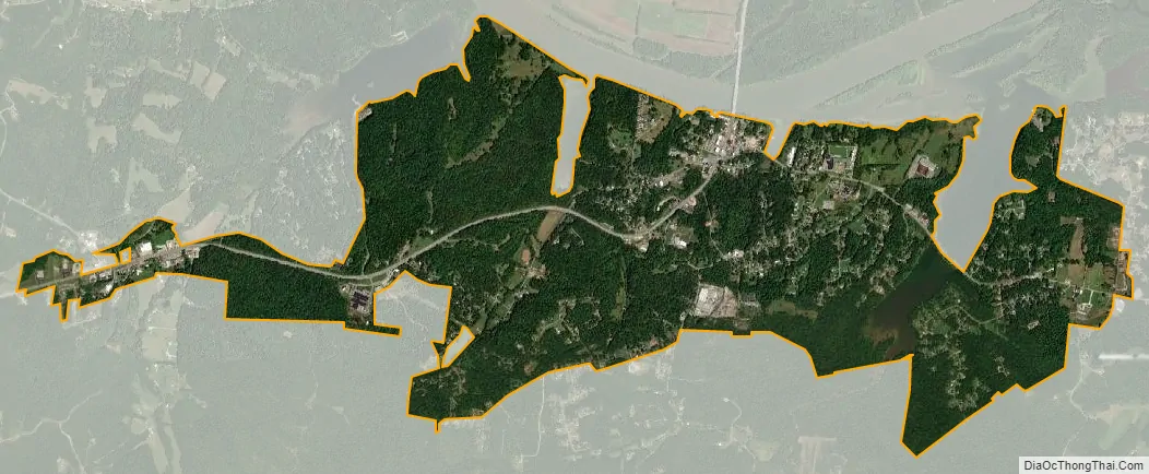
Dover city Satellite Map
Geography
Dover is located at 36°28′56″N 87°50′41″W / 36.48222°N 87.84472°W / 36.48222; -87.84472 (36.482316, -87.844678).
According to the United States Census Bureau, the city has a total area of 3.9 square miles (10 km), of which 3.8 square miles (9.8 km) is land and 0.1 square miles (0.26 km) (2.56%) is water.
Climate
See also
Map of Tennessee State and its subdivision:- Anderson
- Bedford
- Benton
- Bledsoe
- Blount
- Bradley
- Campbell
- Cannon
- Carroll
- Carter
- Cheatham
- Chester
- Claiborne
- Clay
- Cocke
- Coffee
- Crockett
- Cumberland
- Davidson
- Decatur
- DeKalb
- Dickson
- Dyer
- Fayette
- Fentress
- Franklin
- Gibson
- Giles
- Grainger
- Greene
- Grundy
- Hamblen
- Hamilton
- Hancock
- Hardeman
- Hardin
- Hawkins
- Haywood
- Henderson
- Henry
- Hickman
- Houston
- Humphreys
- Jackson
- Jefferson
- Johnson
- Knox
- Lake
- Lauderdale
- Lawrence
- Lewis
- Lincoln
- Loudon
- Macon
- Madison
- Marion
- Marshall
- Maury
- McMinn
- McNairy
- Meigs
- Monroe
- Montgomery
- Moore
- Morgan
- Obion
- Overton
- Perry
- Pickett
- Polk
- Putnam
- Rhea
- Roane
- Robertson
- Rutherford
- Scott
- Sequatchie
- Sevier
- Shelby
- Smith
- Stewart
- Sullivan
- Sumner
- Tipton
- Trousdale
- Unicoi
- Union
- Van Buren
- Warren
- Washington
- Wayne
- Weakley
- White
- Williamson
- Wilson
- Alabama
- Alaska
- Arizona
- Arkansas
- California
- Colorado
- Connecticut
- Delaware
- District of Columbia
- Florida
- Georgia
- Hawaii
- Idaho
- Illinois
- Indiana
- Iowa
- Kansas
- Kentucky
- Louisiana
- Maine
- Maryland
- Massachusetts
- Michigan
- Minnesota
- Mississippi
- Missouri
- Montana
- Nebraska
- Nevada
- New Hampshire
- New Jersey
- New Mexico
- New York
- North Carolina
- North Dakota
- Ohio
- Oklahoma
- Oregon
- Pennsylvania
- Rhode Island
- South Carolina
- South Dakota
- Tennessee
- Texas
- Utah
- Vermont
- Virginia
- Washington
- West Virginia
- Wisconsin
- Wyoming