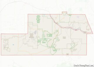
Taos County is a county in the U.S. state of New Mexico. As of the 2020 census, the population was 34,489. Its county seat is Taos. The county was formed in 1852 as one of the original nine counties in New Mexico Territory.
Taos County comprises the Taos, New Mexico Micropolitan Statistical Area.
| Name: | Taos County |
|---|---|
| FIPS code: | 35-055 |
| State: | New Mexico |
| Founded: | January 9, 1852 |
| Seat: | Taos |
| Largest town: | Taos |
| Total Area: | 2,204 sq mi (5,710 km²) |
| Land Area: | 2,203 sq mi (5,710 km²) |
| Total Population: | 34,623 |
| Population Density: | 15/sq mi (6/km²) |
| Time zone: | UTC−7 (Mountain) |
| Summer Time Zone (DST): | UTC−6 (MDT) |
| Website: | www.taoscounty.org |
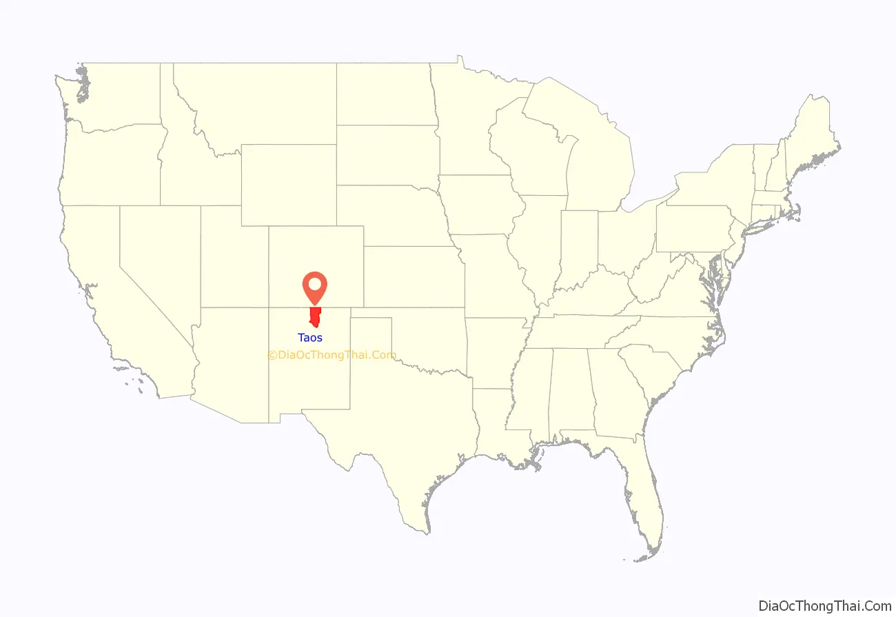
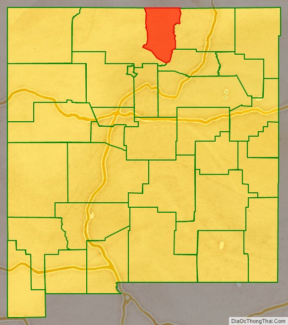
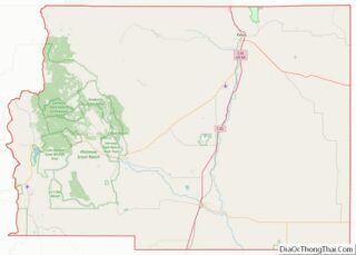
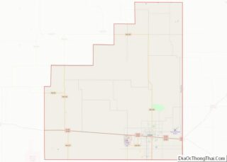
Taos County location map. Where is Taos County?
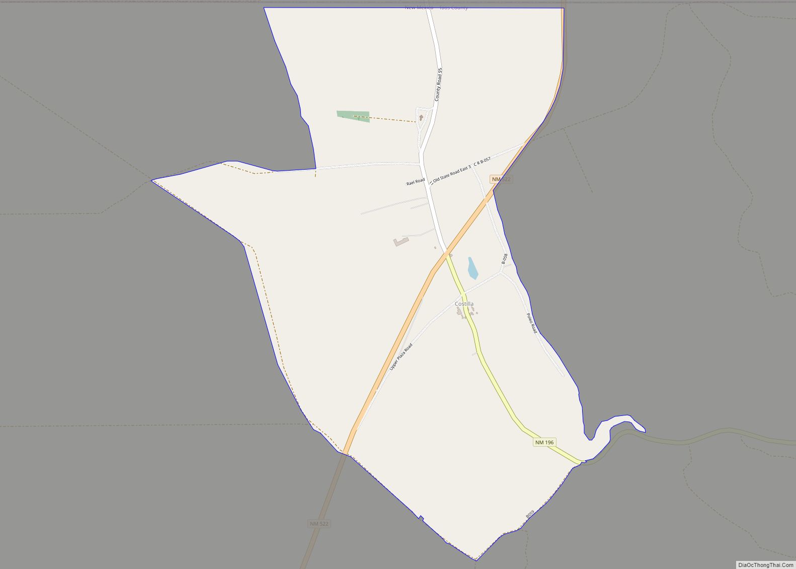
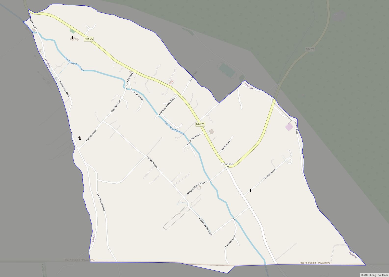
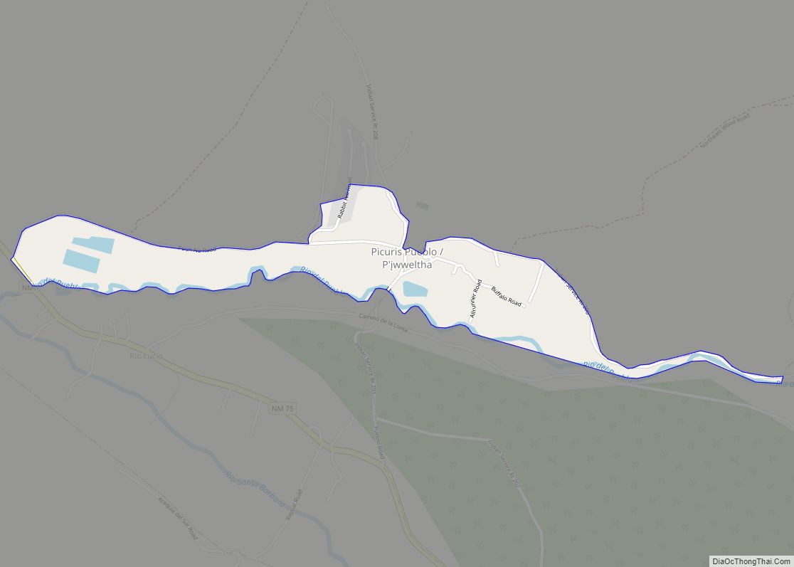
Taos County Road Map
Geography
According to the U.S. Census Bureau, the county has a total area of 2,204 square miles (5,710 km), of which 2,203 square miles (5,710 km) is land and 1.3 square miles (3.4 km) (0.06%) is water.
The county’s highest point is the summit of Wheeler Peak at 13,161 feet (4,011 m). This is also the highest natural point in New Mexico. The county has the highest mean elevation of any U.S. county outside of Colorado at 8,510 feet (2,590 m), even though it ranks only 22nd overall. Taos County contains 17 of New Mexico’s highest 25 peaks.
Adjacent counties
- Rio Arriba County – west
- Mora County – southeast
- Colfax County – east
- Costilla County, Colorado – north
- Conejos County, Colorado – northwest
National protected area
- Carson National Forest (part)
- Rio Grande del Norte National Monument
