Peach County is a county located in the central portion of the U.S. state of Georgia. As of the 2020 census, the population was 27,981. Its county seat is Fort Valley. Founded in 1924, it is the state’s newest county, taken from Houston and Macon counties on July 18 of that year. Its namesake is the peach on account of it being located in a peach-growing district.
Peach County is included in the Warner Robins, GA Metropolitan Statistical Area, which is included in the Macon-Warner Robins, GA Combined Statistical Area.
| Name: | Peach County |
|---|---|
| FIPS code: | 13-225 |
| State: | Georgia |
| Founded: | 1924 |
| Named for: | Peach fruit |
| Seat: | Fort Valley |
| Largest city: | Fort Valley |
| Total Area: | 151 sq mi (390 km²) |
| Land Area: | 150 sq mi (400 km²) |
| Total Population: | 27,981 |
| Population Density: | 187/sq mi (72/km²) |
| Time zone: | UTC−5 (Eastern) |
| Summer Time Zone (DST): | UTC−4 (EDT) |
| Website: | www.peachcounty.net |
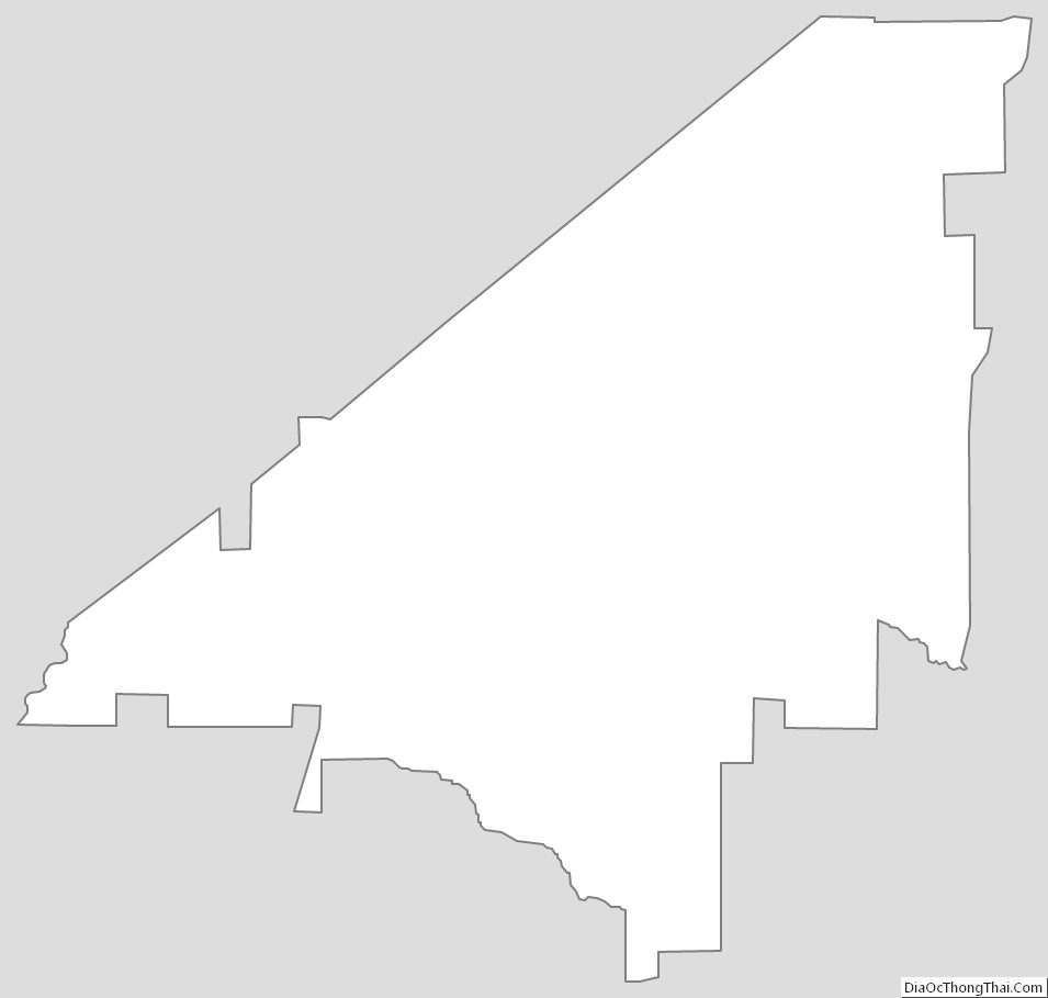
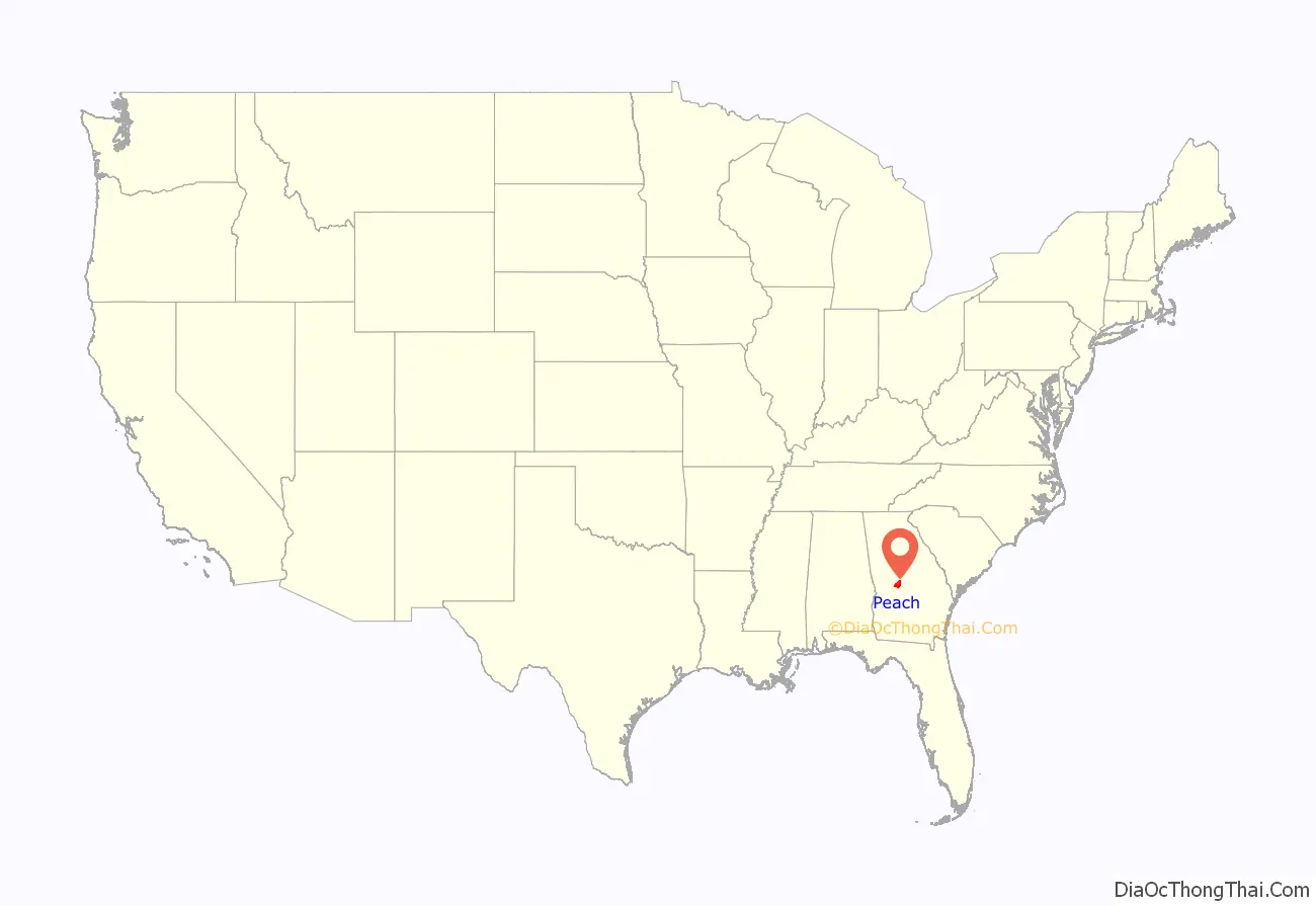
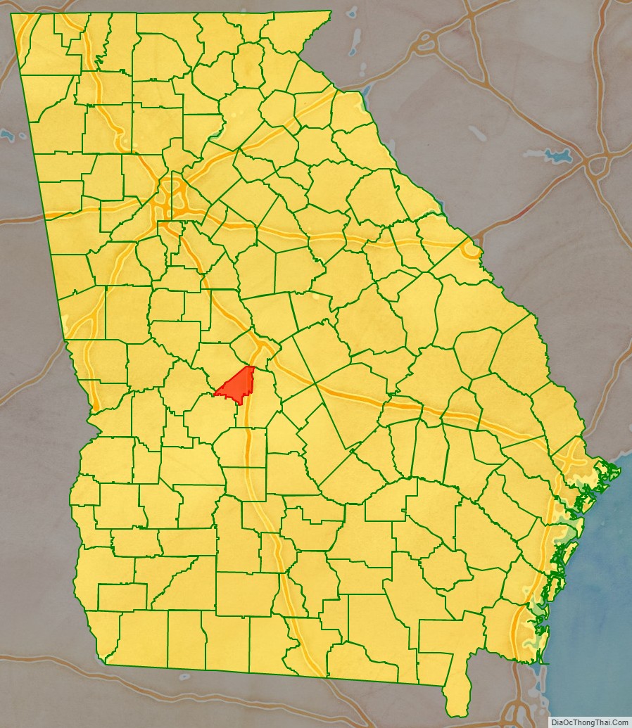
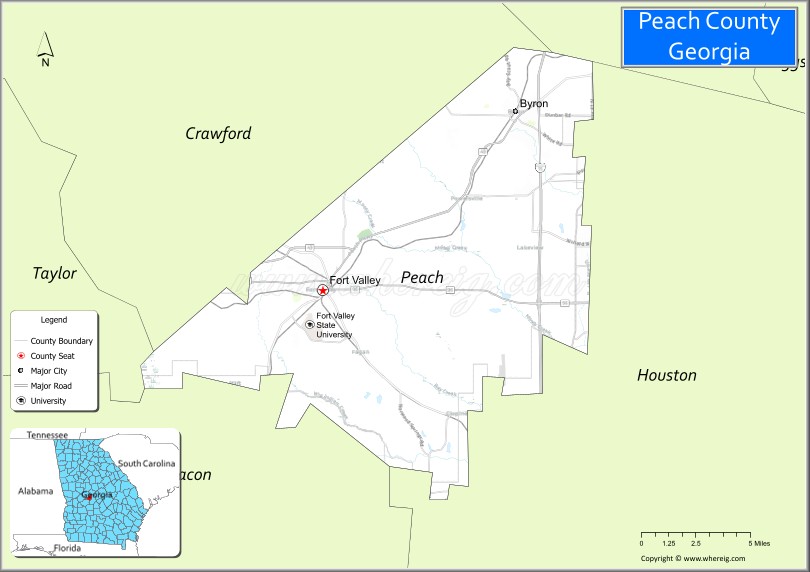
Peach County location map. Where is Peach County?
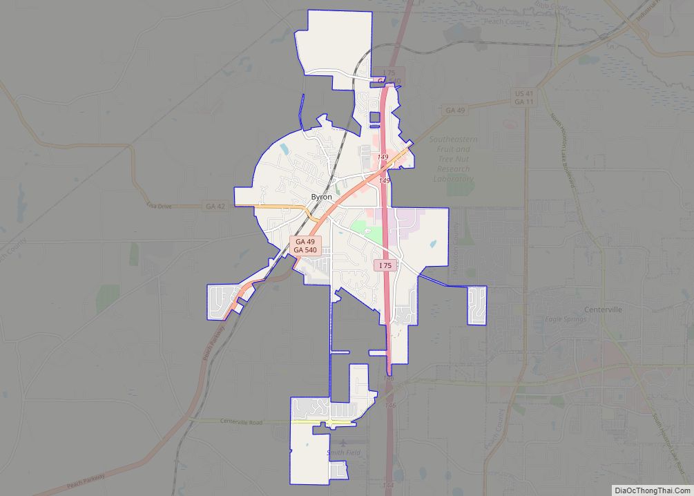
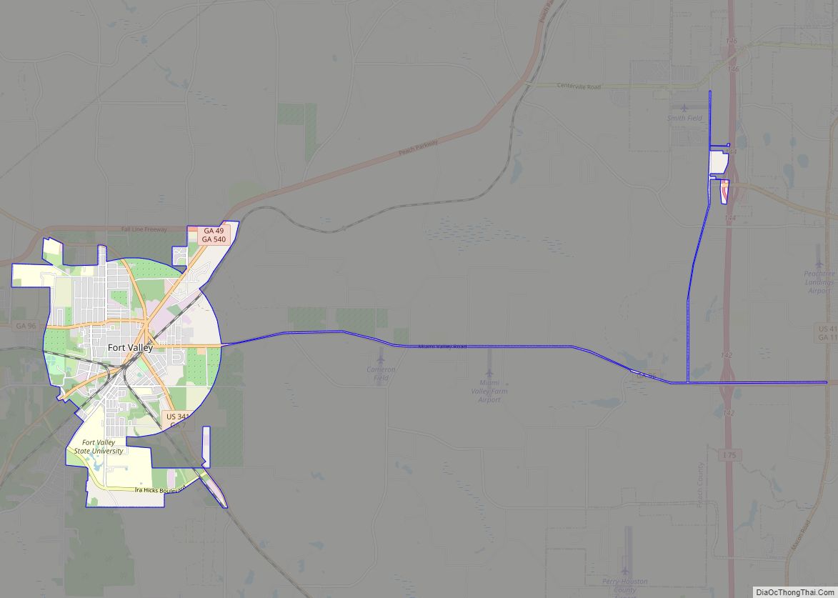
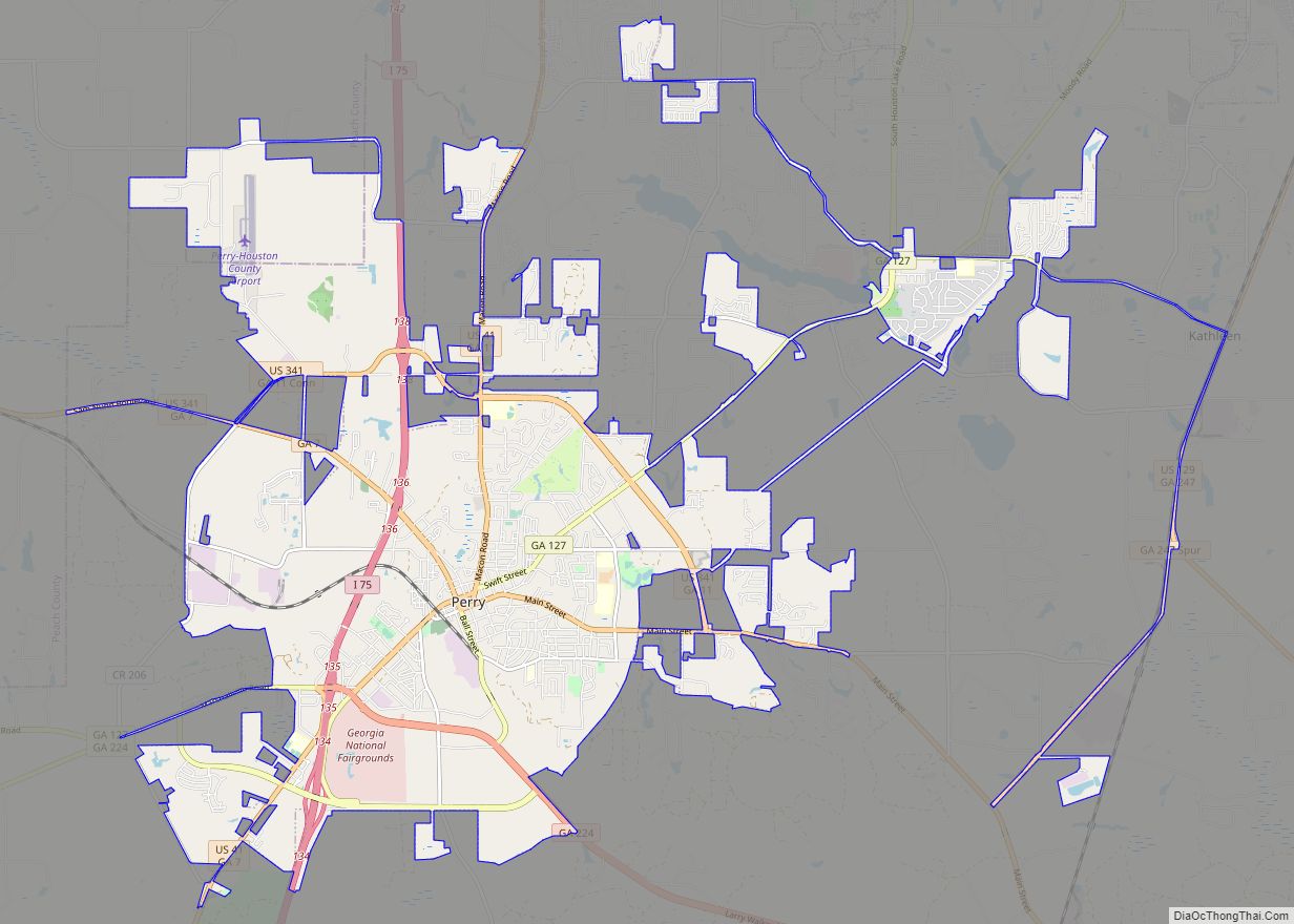
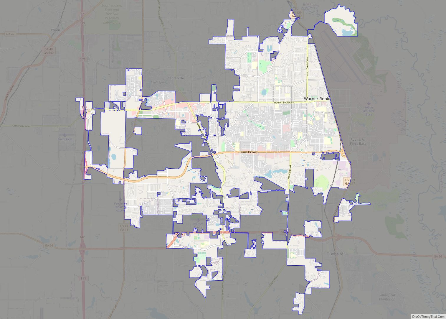
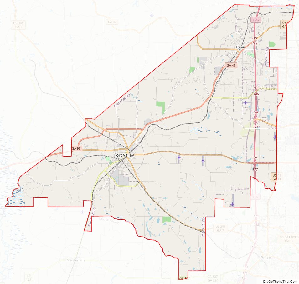
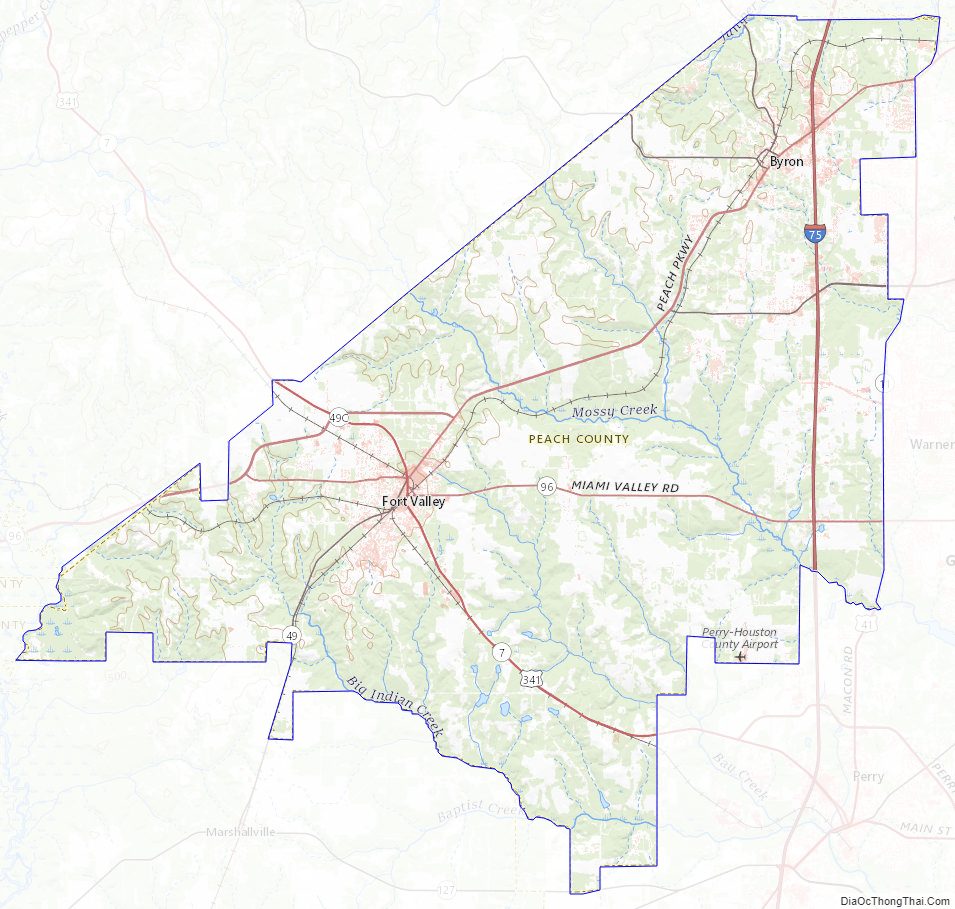
Peach County Road Map
Geography
According to the U.S. Census Bureau, the county has a total area of 151 square miles (390 km), of which 150 square miles (390 km) is land and 1.0 square mile (2.6 km) (0.7%) is water. It is the fifth-smallest county in Georgia by area.
The majority of Peach County is located in the Lower Ocmulgee River sub-basin of the Altamaha River basin. A small portion of the northern edge of the county, north of Byron, is located in the Upper Ocmulgee River sub-basin of the Altamaha River basin. The very western tip of Peach County is located in the Upper Flint River sub-basin of the ACF River Basin (Apalachicola-Chattahoochee-Flint River Basin).
Major highways
- Interstate 75
- U.S. Route 41
- U.S. Route 341
- State Route 7
- State Route 7 Connector
- State Route 11
- Georgia State Route 42
- Georgia State Route 49
- State Route 49 Connector
- Georgia State Route 96
- State Route 127
- State Route 247 Connector
- State Route 401 (unsigned designation for I-75)
- State Route 540 (Fall Line Freeway)
Adjacent counties
- Bibb County – north
- Houston County – east
- Crawford County – northwest
- Taylor County – west
- Macon County – southwest
Peach County Topographic Map
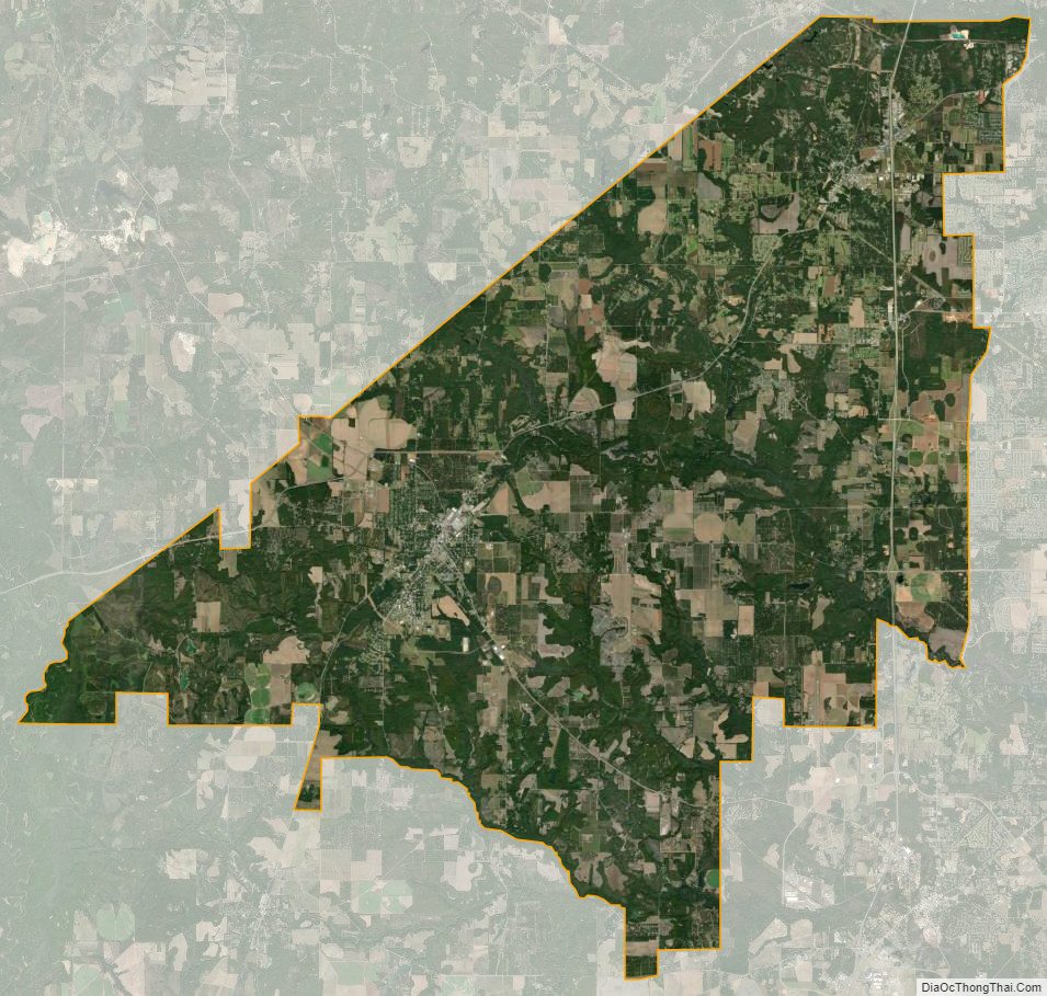
Peach County Satellite Map
Peach County Outline Map