Butler is the county seat of Taylor County, Georgia, United States. Its population was 1,972 at the 2010 census.
| Name: | Butler city |
|---|---|
| LSAD Code: | 25 |
| LSAD Description: | city (suffix) |
| State: | Georgia |
| County: | Taylor County |
| Elevation: | 628 ft (191 m) |
| Total Area: | 3.26 sq mi (8.45 km²) |
| Land Area: | 3.25 sq mi (8.41 km²) |
| Water Area: | 0.02 sq mi (0.04 km²) |
| Total Population: | 1,881 |
| Population Density: | 579.48/sq mi (223.73/km²) |
| ZIP code: | 31006 |
| Area code: | 478 |
| FIPS code: | 1312120 |
| GNISfeature ID: | 0312093 |
| Website: | www.cityofbutlerga.com |
Online Interactive Map
Click on ![]() to view map in "full screen" mode.
to view map in "full screen" mode.
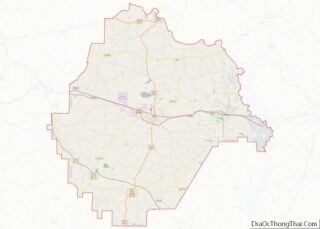
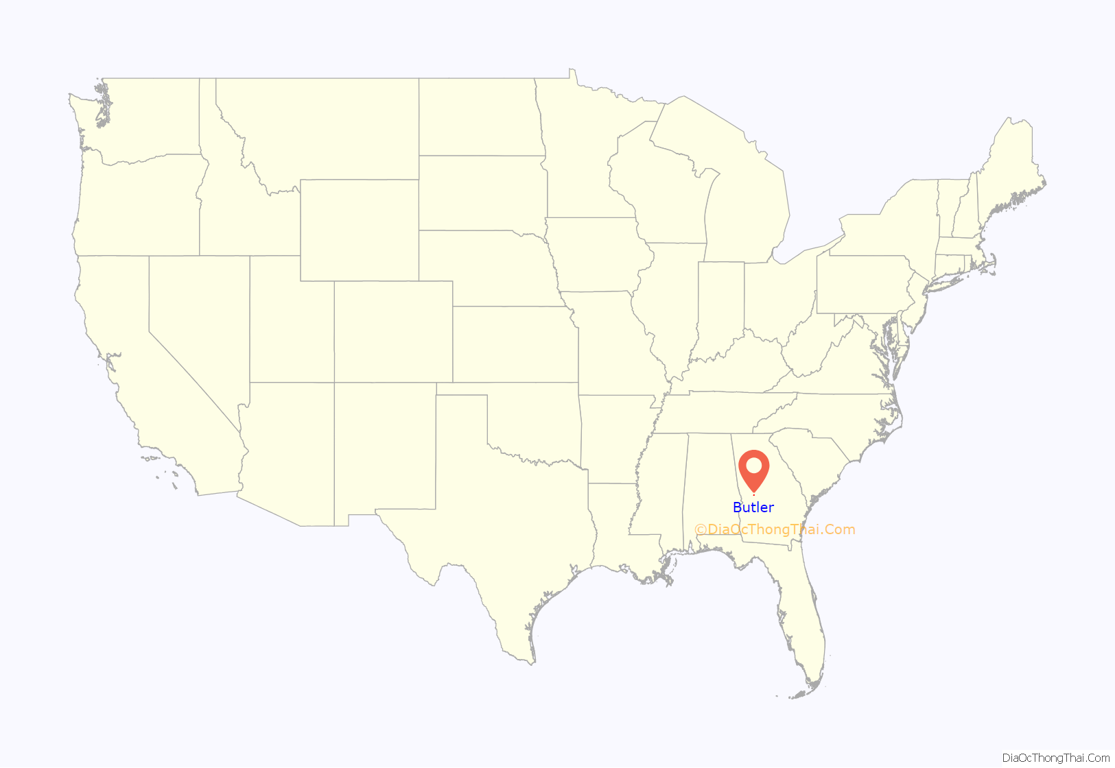
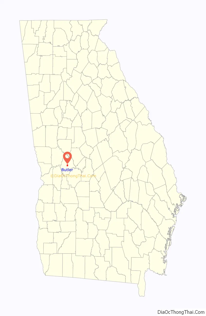
Butler location map. Where is Butler city?
History
The Central of Georgia Railway was built through the present area of Butler about 1850. The line is currently owned by Norfolk Southern and hosts three to four trains per day.
Butler was incorporated on February 8, 1854, but the charter was not received until 1870. Taylor County was carved from the Creek Indian territory which had in earlier years become the counties of Marion, Talbot, and Macon.
The chosen location of Butler was known as the “Fifty Mile Station” on the railroad because it was the geographical center of the railroad between Macon and Columbus, Georgia. Each town is approximately 50 miles (80 km) in either direction of Butler.
The city of Butler, Georgia, was named for General William Orlando Butler, a distinguished soldier of the Mexican–American War and a candidate for Vice President on the ticket with General Lewis Cass of Michigan.
In late 2016, a 1070 acre 103 megawatt solar panel facility was completed. The Butler Solar Facility is owned by First Solar.
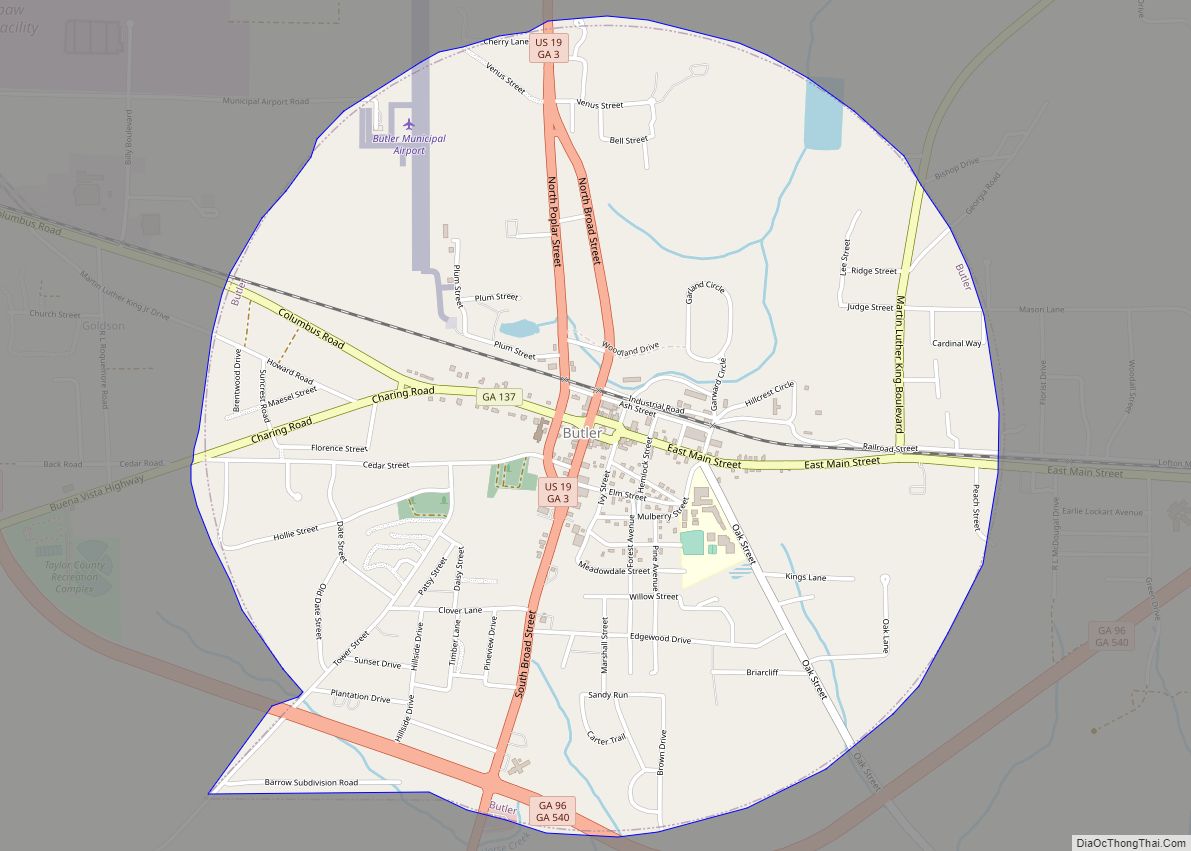
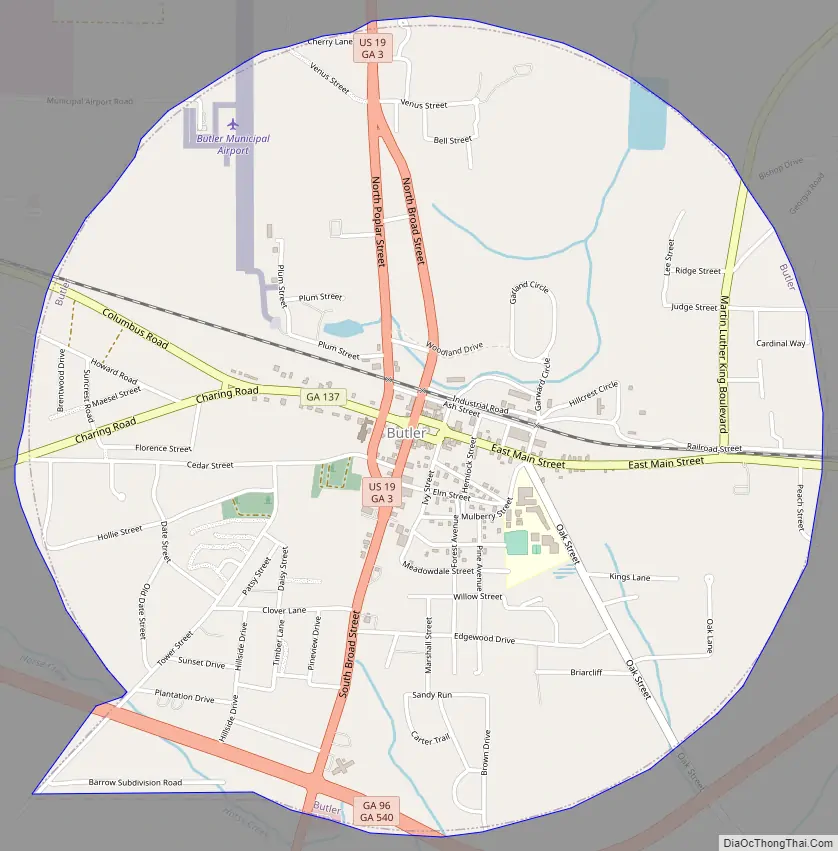
Butler Road Map
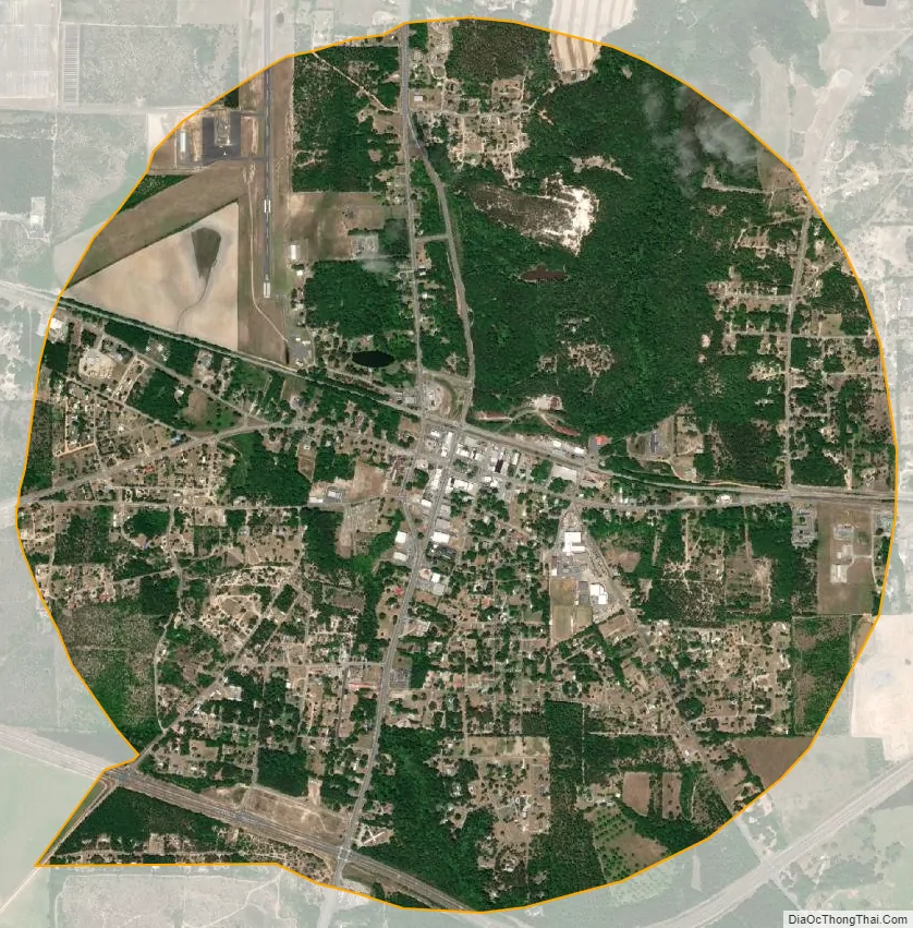
Butler city Satellite Map
Geography
Butler is located at 32°33′N 84°14′W / 32.550°N 84.233°W / 32.550; -84.233 (32.557, -84.239).
The city is located along U.S. Route 19, which is the main route through the city. U.S. 19 leads north 28 mi (45 km) to Thomaston and south 24 mi (39 km) to Ellaville. The Fall Line Freeway (GA-540) runs from west to east through the southern part of the city, concurrent with Georgia State Route 96. GA-540 and GA-96 lead east 9 mi (14 km) to Reynolds and west 14 mi (23 km) to Junction City. Georgia State Route 137 also runs through the city, leading northeast 20 mi (32 km) to Roberta and southwest 25 mi (40 km) to Buena Vista.
According to the United States Census Bureau, the city has a total area of 3.2 square miles (8.3 km), of which 3.2 square miles (8.3 km) is land and 0.31% is water.
See also
Map of Georgia State and its subdivision:- Appling
- Atkinson
- Bacon
- Baker
- Baldwin
- Banks
- Barrow
- Bartow
- Ben Hill
- Berrien
- Bibb
- Bleckley
- Brantley
- Brooks
- Bryan
- Bulloch
- Burke
- Butts
- Calhoun
- Camden
- Candler
- Carroll
- Catoosa
- Charlton
- Chatham
- Chattahoochee
- Chattooga
- Cherokee
- Clarke
- Clay
- Clayton
- Clinch
- Cobb
- Coffee
- Colquitt
- Columbia
- Cook
- Coweta
- Crawford
- Crisp
- Dade
- Dawson
- Decatur
- DeKalb
- Dodge
- Dooly
- Dougherty
- Douglas
- Early
- Echols
- Effingham
- Elbert
- Emanuel
- Evans
- Fannin
- Fayette
- Floyd
- Forsyth
- Franklin
- Fulton
- Gilmer
- Glascock
- Glynn
- Gordon
- Grady
- Greene
- Gwinnett
- Habersham
- Hall
- Hancock
- Haralson
- Harris
- Hart
- Heard
- Henry
- Houston
- Irwin
- Jackson
- Jasper
- Jeff Davis
- Jefferson
- Jenkins
- Johnson
- Jones
- Lamar
- Lanier
- Laurens
- Lee
- Liberty
- Lincoln
- Long
- Lowndes
- Lumpkin
- Macon
- Madison
- Marion
- McDuffie
- McIntosh
- Meriwether
- Miller
- Mitchell
- Monroe
- Montgomery
- Morgan
- Murray
- Muscogee
- Newton
- Oconee
- Oglethorpe
- Paulding
- Peach
- Pickens
- Pierce
- Pike
- Polk
- Pulaski
- Putnam
- Quitman
- Rabun
- Randolph
- Richmond
- Rockdale
- Schley
- Screven
- Seminole
- Spalding
- Stephens
- Stewart
- Sumter
- Talbot
- Taliaferro
- Tattnall
- Taylor
- Telfair
- Terrell
- Thomas
- Tift
- Toombs
- Towns
- Treutlen
- Troup
- Turner
- Twiggs
- Union
- Upson
- Walker
- Walton
- Ware
- Warren
- Washington
- Wayne
- Webster
- Wheeler
- White
- Whitfield
- Wilcox
- Wilkes
- Wilkinson
- Worth
- Alabama
- Alaska
- Arizona
- Arkansas
- California
- Colorado
- Connecticut
- Delaware
- District of Columbia
- Florida
- Georgia
- Hawaii
- Idaho
- Illinois
- Indiana
- Iowa
- Kansas
- Kentucky
- Louisiana
- Maine
- Maryland
- Massachusetts
- Michigan
- Minnesota
- Mississippi
- Missouri
- Montana
- Nebraska
- Nevada
- New Hampshire
- New Jersey
- New Mexico
- New York
- North Carolina
- North Dakota
- Ohio
- Oklahoma
- Oregon
- Pennsylvania
- Rhode Island
- South Carolina
- South Dakota
- Tennessee
- Texas
- Utah
- Vermont
- Virginia
- Washington
- West Virginia
- Wisconsin
- Wyoming