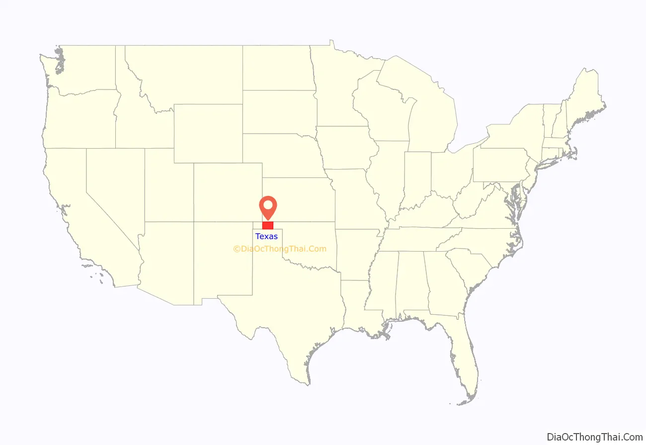
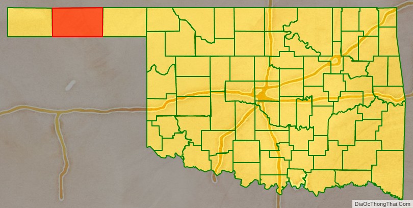
Texas County is a county located in the panhandle of the U.S. state of Oklahoma. Its county seat is Guymon. As of the 2010 census, the population was 20,640. It is the second largest county in Oklahoma, based on land area, and is named for Texas, the state that adjoins the county to its south. Texas County comprises the Guymon, OK Micropolitan Statistical Area. The county economy is largely based on farming and cattle production. It is one of the top-producing counties in the U.S. for wheat, cattle, and hogs. It also lies within the noted Hugoton-Panhandle natural gas field.
Being 50.6% Hispanic, Texas is also Oklahoma’s only Hispanic-majority county as of 2020.
| Name: | Texas County |
|---|---|
| FIPS code: | 40-139 |
| State: | Oklahoma |
| Founded: | 1907 |
| Named for: | Texas |
| Seat: | Guymon |
| Largest city: | Guymon |
| Total Area: | 2,049 sq mi (5,310 km²) |
| Land Area: | 2,041 sq mi (5,290 km²) |
| Total Population: | 20,640 |
| Population Density: | 10/sq mi (4/km²) |
| Time zone: | UTC−6 (Central) |
| Summer Time Zone (DST): | UTC−5 (CDT) |
| Website: | texas.okcounties.org |
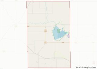
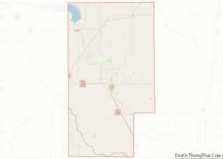
Texas County location map. Where is Texas County?
History
Texas County was formed at Oklahoma statehood (November 16, 1907) from the central one-third of “Old Beaver County”. When the formation of the county was authorized by the Constitutional Convention of 1907, the county was so named because it was wholly included within the limits of the Texas Cession of 1850, whereby the ownership of the area was passed from the State of Texas to the United States government. From 1850 to 1890, its lands were never attached to any state or territory, never surveyed, and never divided into townships and sections like the eastern counties were. From 1890 to 1907, it was part of Beaver County.
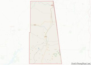
Texas County Road Map
Geography
According to the U.S. Census Bureau, the county has a total area of 2,049 square miles (5,310 km), of which 2,041 square miles (5,290 km) are land and 7.4 square miles (19 km) (0.4%) is water. It is the second-largest county in Oklahoma by area. The county lies in the High Plains of the Great Plains physiographic region. It is generally flat, but has some rolling hills. It is drained by the North Canadian River, often called the Beaver River in this area. Tributaries of the river are Coldwater, Hackberry, Goff, Teepee, and Pony Creeks.
For tourism purposes, the county’s location in Northwest Oklahoma puts it in the area designated by the Oklahoma Department of Tourism as Red Carpet Country.
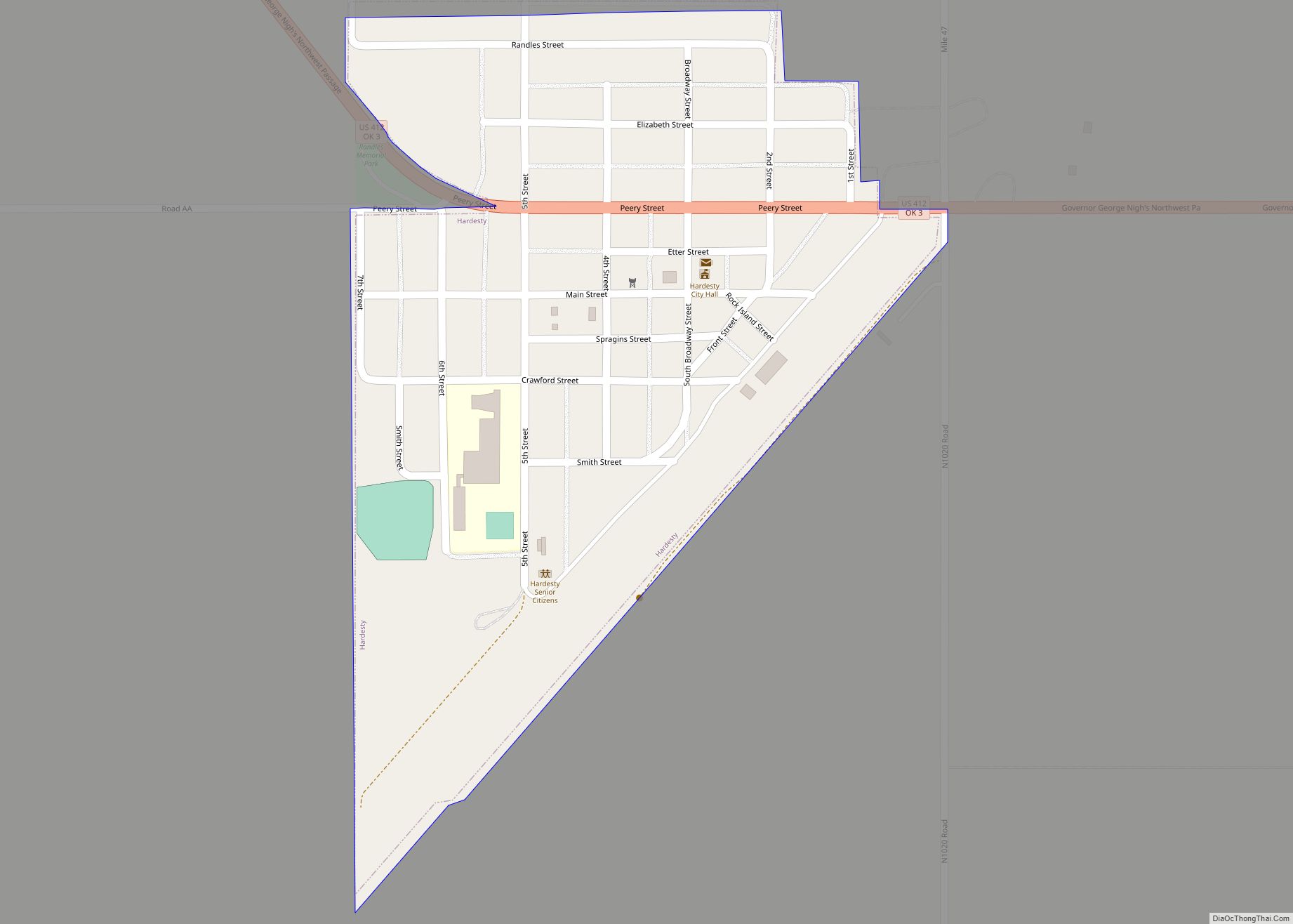
The Optima Lake project, including Optima National Wildlife Refuge, and the Optima Wildlife Management Area being public hunting lands managed by the Oklahoma Department of Wildlife Conservation, is 2 miles (3.2 km) north of Hardesty, Oklahoma.
Adjacent counties
- Stevens County, Kansas (north)
- Seward County, Kansas (northeast)
- Beaver County (east)
- Ochiltree County, Texas (southeast)
- Hansford County, Texas (south)
- Sherman County, Texas (southwest)
- Cimarron County (west)
- Morton County, Kansas (northwest)
Texas County is one of four counties in the United States to border the state with which it shares its name (the other three are Nevada County, California, Delaware County, Pennsylvania, and Ohio County, West Virginia).
National protected area
- Optima National Wildlife Refuge
