Guymon (/ˈɡaɪmən/ GHY-mən) is a city and county seat of Texas County, in the panhandle of Oklahoma, United States. As of the 2020 census, the city population was 12,965, an increase of 13.3% from 11,442 in 2010, and represents more than half of the population of the county. Cattle feedlots, corporate pork farms, and natural gas production dominate its economy, with wind energy production and transmission recently diversifying landowners’ farms. Guymon was the only town or city in Oklahoma in 2010 and 2020 in which the majority of the population was Hispanic.
| Name: | Guymon city |
|---|---|
| LSAD Code: | 25 |
| LSAD Description: | city (suffix) |
| State: | Oklahoma |
| County: | Texas County |
| Incorporated: | 1901 |
| Elevation: | 3,124 ft (952 m) |
| Total Area: | 7.76 sq mi (20.09 km²) |
| Land Area: | 7.74 sq mi (20.03 km²) |
| Water Area: | 0.02 sq mi (0.06 km²) |
| Total Population: | 12,965 |
| Population Density: | 1,676.15/sq mi (647.20/km²) |
| ZIP code: | 73942 |
| Area code: | 580 |
| FIPS code: | 4031750 |
| Website: | GuymonOK.org |
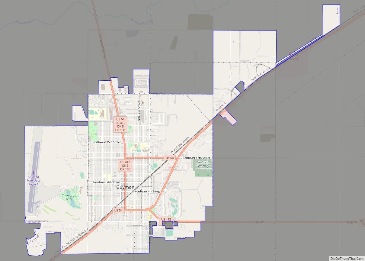
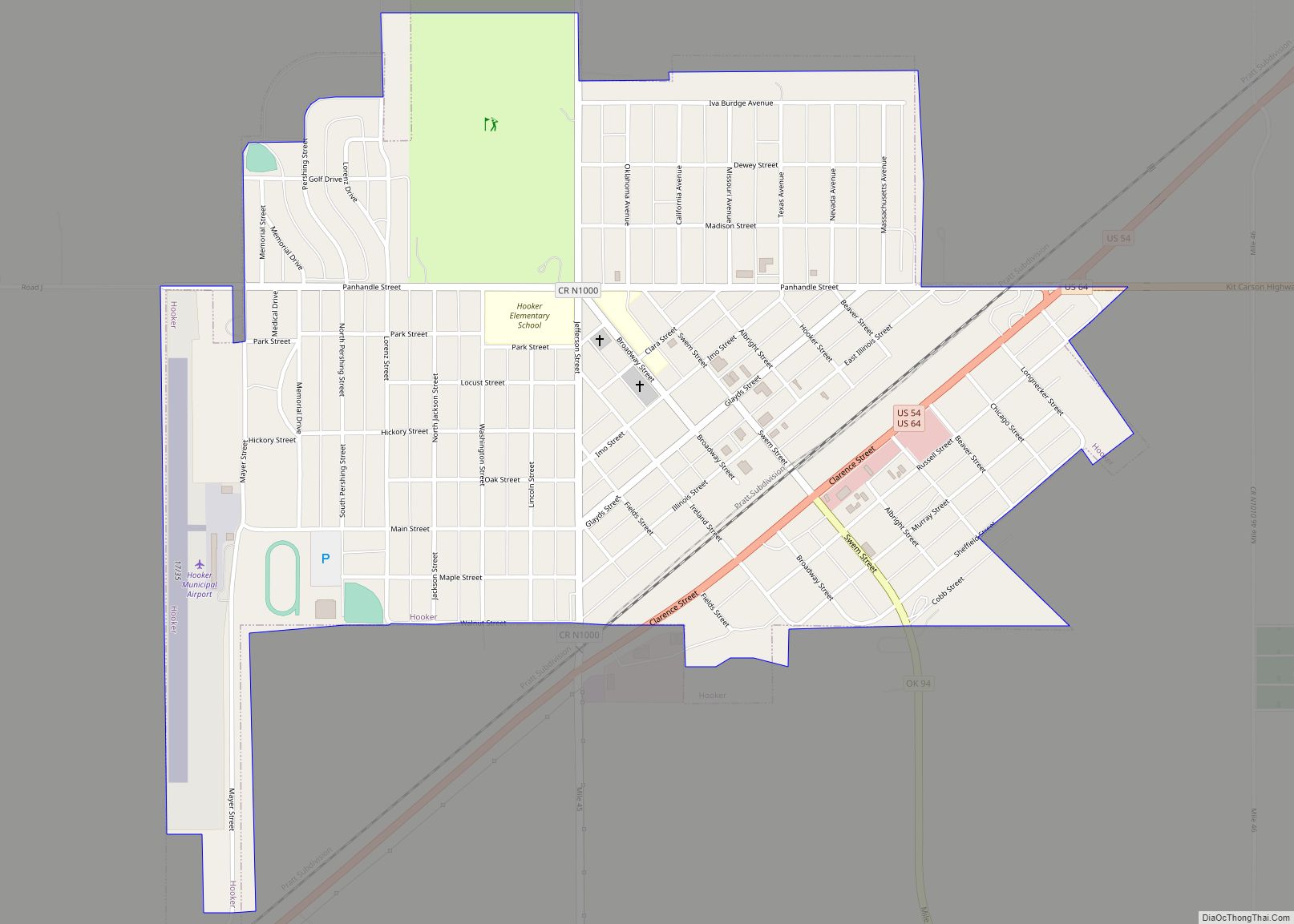
Online Interactive Map
Click on ![]() to view map in "full screen" mode.
to view map in "full screen" mode.
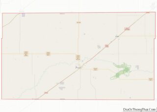
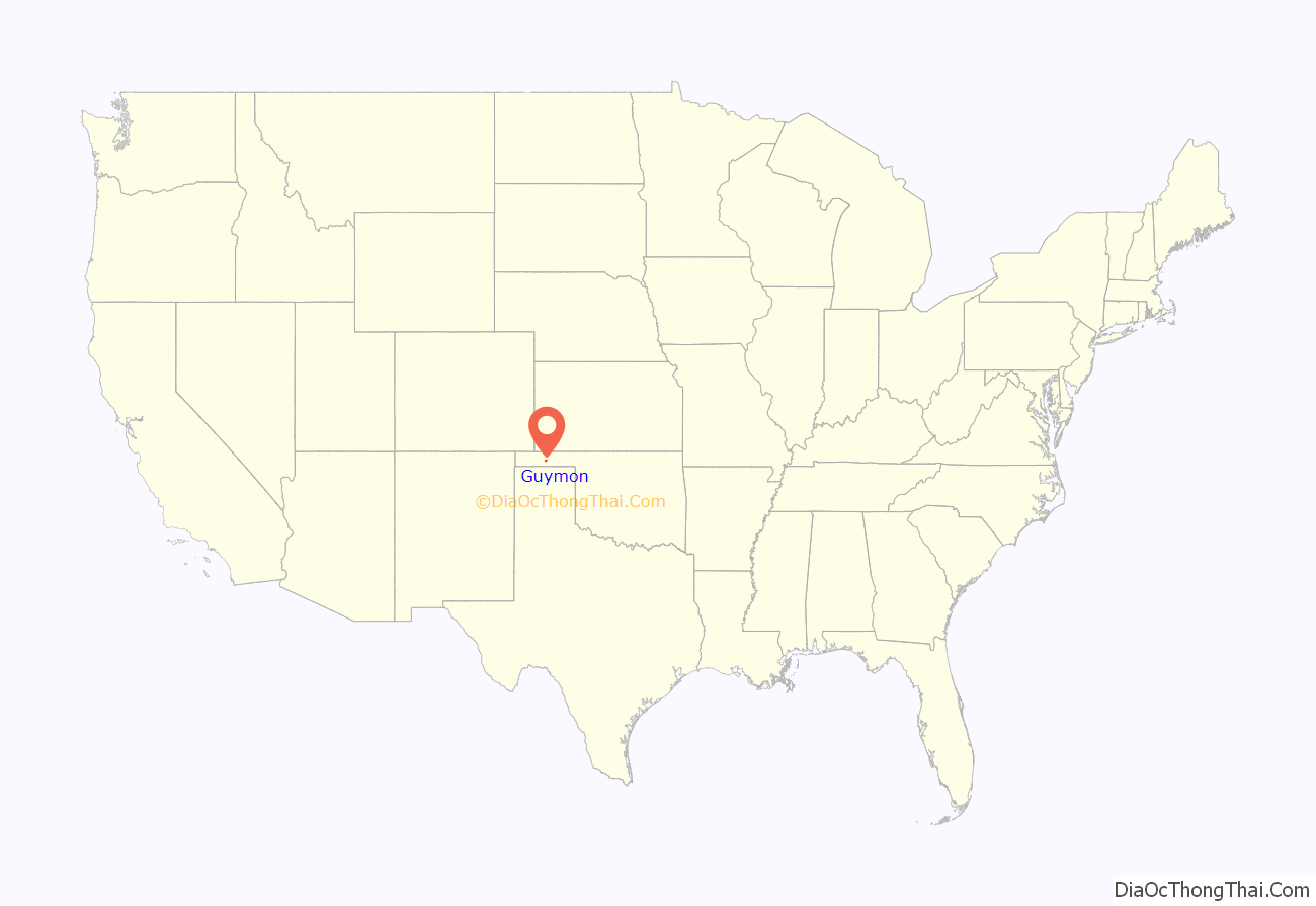
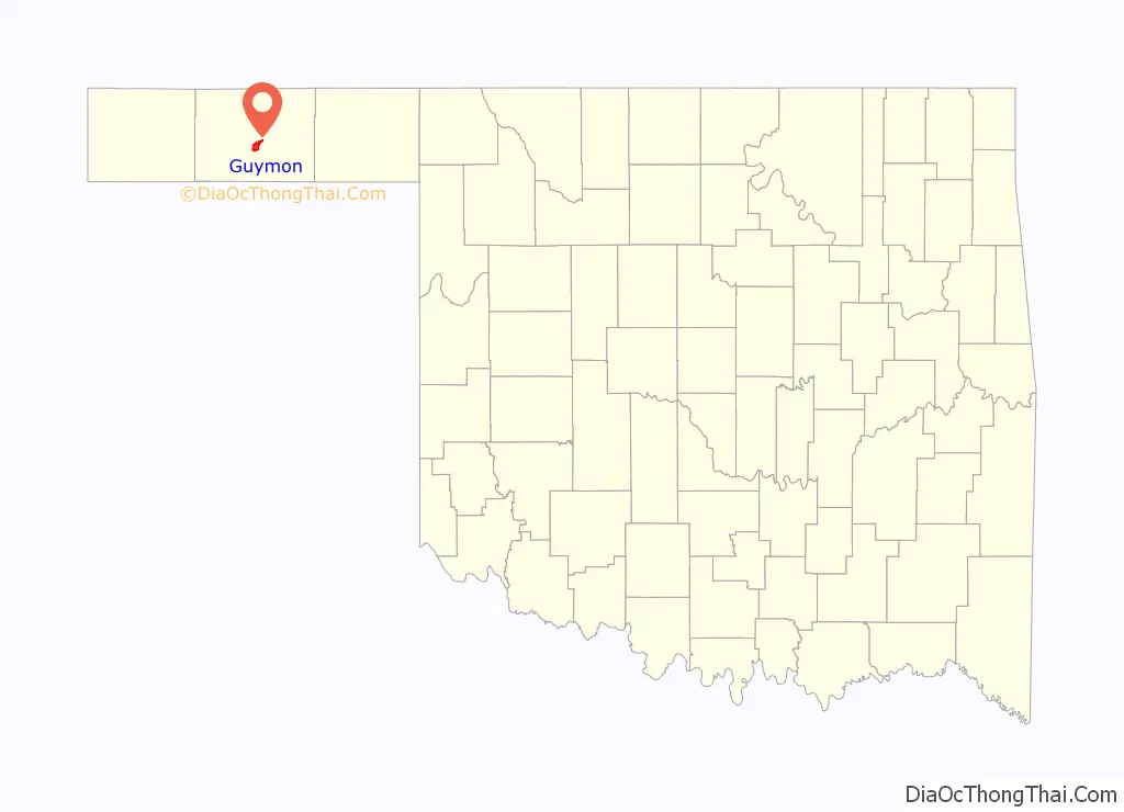
Guymon location map. Where is Guymon city?
History
In the 1890s, Edward T. “E.T.” Guymon, president of the Inter-State Land and Town Company, purchased a section of land west of the Beaver River, also known as the North Canadian River. The site grew very rapidly after the Chicago, Rock Island and Pacific Railway (Rock Island) built a line from Liberal, Kansas, to Texhoma, Texas, in 1901. A community, first named Sanford by the U.S. Post Office Department, was situated along the line. It was renamed Guymon a month later by postal officials to avoid confusion with the town of Stratford, Texas, which was further down the line. Guymon incorporated in 1901. The town plat was filed in Beaver County, Oklahoma Territory, in 1904.
Guymon’s growth was helped when most of the businesses moved there from the nearby town of Hardesty. One of these was the newspaper, Hardesty Herald, which owner Richard B. Quinn quickly renamed as the Guymon Herald. When Oklahoma became a state in 1907, Guymon claimed 839 residents, and was named county seat of the newly created Texas County. By the 1910 U.S. census, the town had 1,342 residents. It also had three banks, three hotels, four doctors, a flour mill, a grain company, and several retail establishments. A second newspaper, the Guymon Democrat, was in business. Agriculture became the basis of Guymon’s economy. The 1920 census recorded 1,507 residents, which grew to 2,181 in 1930. By 1932, the town had two cream stations and five grain elevators.
The Great Depression and the Dust Bowl of the 1930s had a negative effect on Guymon. Some old-time residents remember “Black Sunday”, April 14, 1935, as the day of the worst dust storm in the area’s history. However, discovery of the nearby Hugoton-Panhandle gas field created many new jobs, and brought Guymon’s population to 2,290 in 1940.
The Guymon Pioneer Days Rodeo has offered tributes to the community’s pioneer spirit every May since 1933. In 2014, the rodeo was inducted into the ProRodeo Hall of Fame of the Professional Rodeo Cowboys Association. In 2006, the rodeo had over 900 contestants with over $385,000 in prize money.
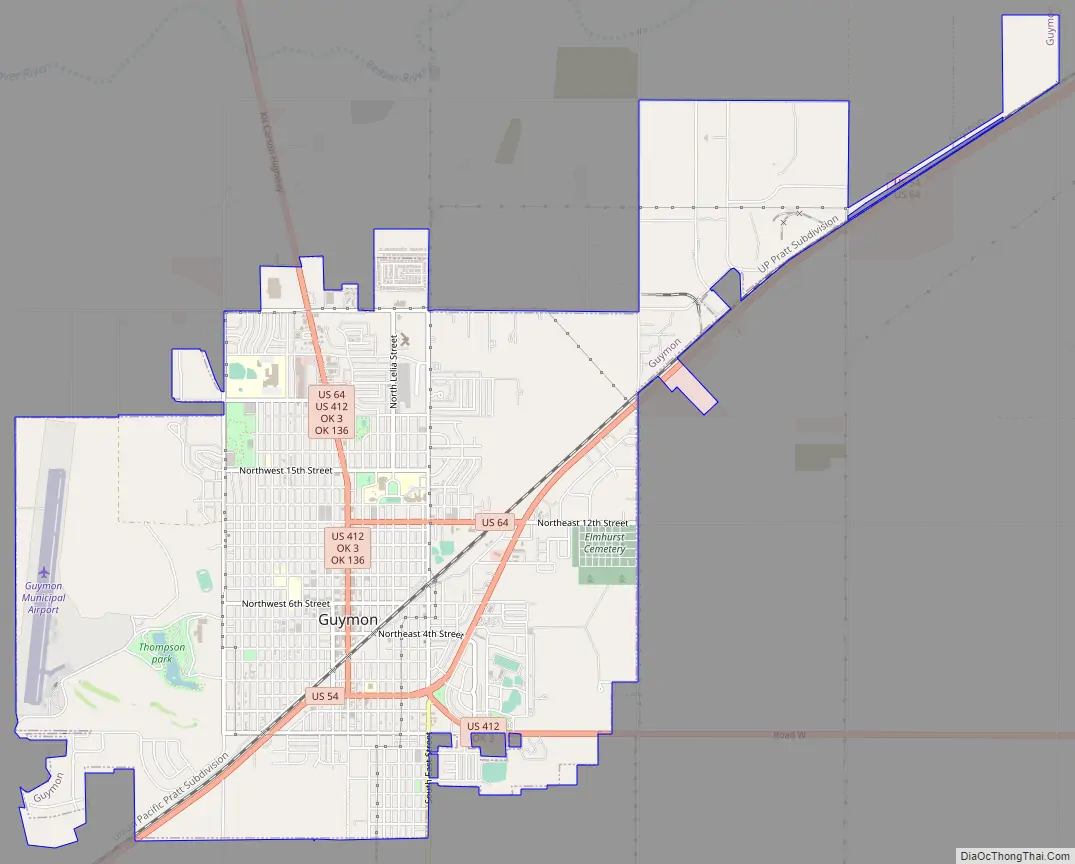
Guymon Road Map
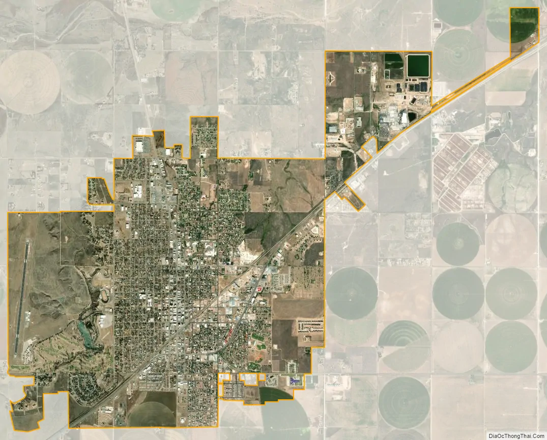
Guymon city Satellite Map
Geography
Located on the High Plains of the central Oklahoma Panhandle, Guymon sits 122 miles (196 km) north of Amarillo, Texas, and 120 miles (193 km) west-northwest of Woodward. Optima National Wildlife Refuge, Optima Lake, and the state-run Optima Wildlife Management Area lie roughly 16 miles (26 km) to the east along the North Canadian River.
Guymon is located at 36°40′58″N 101°28′54″W / 36.68278°N 101.48167°W / 36.68278; -101.48167 (36.6828041,-101.4815493) and sits at an elevation of 3,124 feet (952 m). According to the United States Census Bureau, the city has a total area of 7.3 square miles (18.9 km), of which 7.3 square miles (18.9 km) are land and 0.04 square miles (0.1 km) (0.27%) is covered by water.
Climate
See also
Map of Oklahoma State and its subdivision:- Adair
- Alfalfa
- Atoka
- Beaver
- Beckham
- Blaine
- Bryan
- Caddo
- Canadian
- Carter
- Cherokee
- Choctaw
- Cimarron
- Cleveland
- Coal
- Comanche
- Cotton
- Craig
- Creek
- Custer
- Delaware
- Dewey
- Ellis
- Garfield
- Garvin
- Grady
- Grant
- Greer
- Harmon
- Harper
- Haskell
- Hughes
- Jackson
- Jefferson
- Johnston
- Kay
- Kingfisher
- Kiowa
- Latimer
- Le Flore
- Lincoln
- Logan
- Love
- Major
- Marshall
- Mayes
- McClain
- McCurtain
- McIntosh
- Murray
- Muskogee
- Noble
- Nowata
- Okfuskee
- Oklahoma
- Okmulgee
- Osage
- Ottawa
- Pawnee
- Payne
- Pittsburg
- Pontotoc
- Pottawatomie
- Pushmataha
- Roger Mills
- Rogers
- Seminole
- Sequoyah
- Stephens
- Texas
- Tillman
- Tulsa
- Wagoner
- Washington
- Washita
- Woods
- Woodward
- Alabama
- Alaska
- Arizona
- Arkansas
- California
- Colorado
- Connecticut
- Delaware
- District of Columbia
- Florida
- Georgia
- Hawaii
- Idaho
- Illinois
- Indiana
- Iowa
- Kansas
- Kentucky
- Louisiana
- Maine
- Maryland
- Massachusetts
- Michigan
- Minnesota
- Mississippi
- Missouri
- Montana
- Nebraska
- Nevada
- New Hampshire
- New Jersey
- New Mexico
- New York
- North Carolina
- North Dakota
- Ohio
- Oklahoma
- Oregon
- Pennsylvania
- Rhode Island
- South Carolina
- South Dakota
- Tennessee
- Texas
- Utah
- Vermont
- Virginia
- Washington
- West Virginia
- Wisconsin
- Wyoming