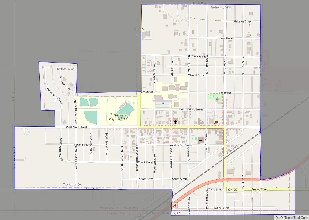
Texhoma is a town in Texas County, Oklahoma, United States. The population was 856 at the 2020 census. Texhoma is a divided city with the Texas–Oklahoma state border separating the town from Texhoma, Texas. The name of the town is a portmanteau of Texas and Oklahoma. Founded around the Rock Island Railroad laying tracks through the area, much of the town’s local economy is from ranching and livestock.
| Name: | Texhoma town |
|---|---|
| LSAD Code: | 43 |
| LSAD Description: | town (suffix) |
| State: | Oklahoma |
| County: | Texas County |
| Incorporated: | 1908 |
| Elevation: | 3,487 ft (1,063 m) |
| Total Area: | 0.64 sq mi (1.66 km²) |
| Land Area: | 0.64 sq mi (1.66 km²) |
| Water Area: | 0.00 sq mi (0.00 km²) |
| Total Population: | 856 |
| Population Density: | 1,335.41/sq mi (515.55/km²) |
| ZIP code: | 73949 |
| Area code: | 580 |
| FIPS code: | 4073100 |
| GNISfeature ID: | 2413378 |
| Website: | texhoma.us |
Online Interactive Map
Click on ![]() to view map in "full screen" mode.
to view map in "full screen" mode.
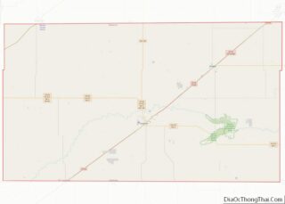
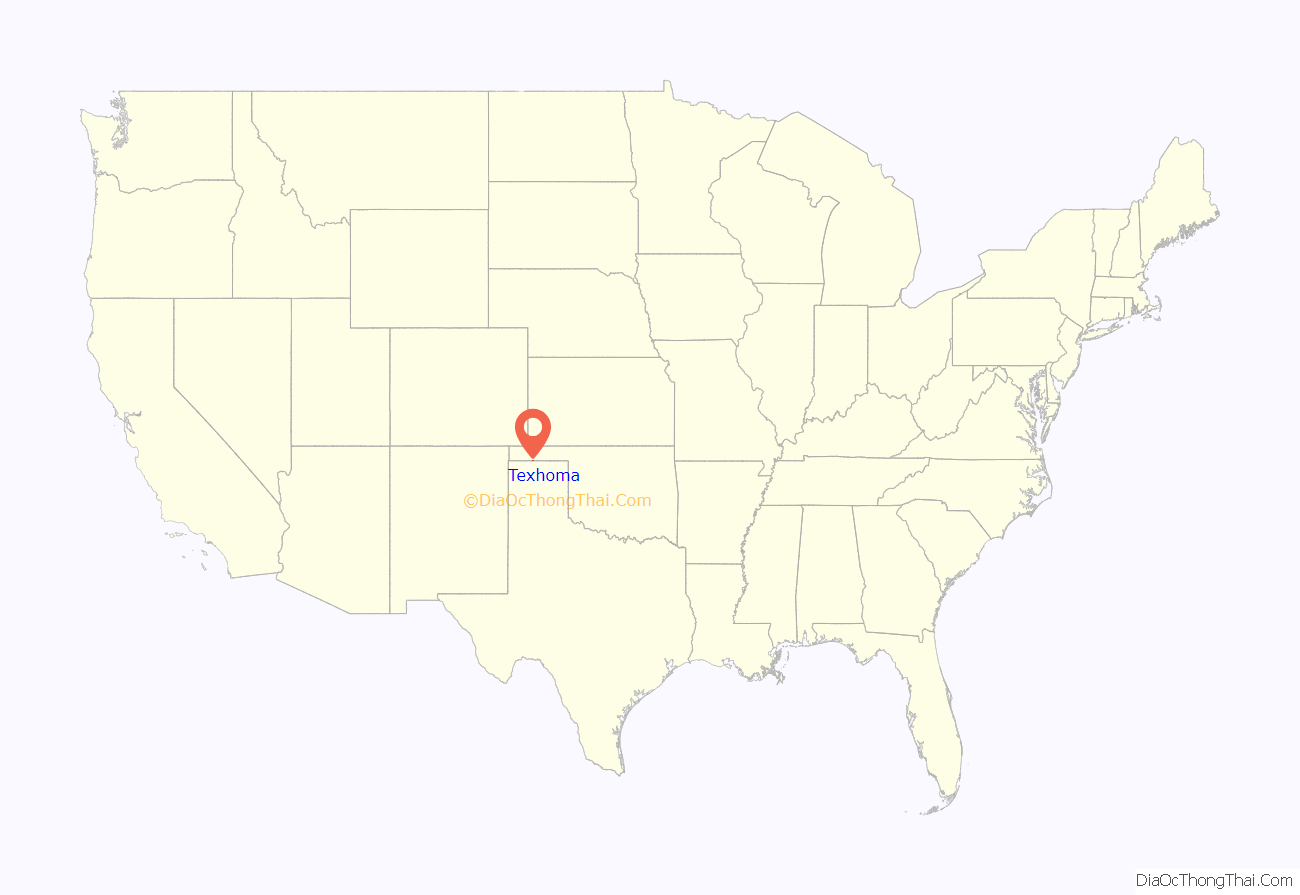
Texhoma location map. Where is Texhoma town?

History
Before No Man’s Land was opened for settlers in 1890, the area now known as the Oklahoma Panhandle was sparsely settled ranchland. After the opening, filing occurred on some of the land near the CCC Ranch, mostly by the cowboys, and sold to the ranch as soon as proved up. Expansion of the Rock Island Railroad tracks from Liberal, Kansas to Santa Rosa, New Mexico spurred the settlement’s formation.
A post office named Loretta was established May 7, 1898, but anticipating the railroad, the post office in 1901 moved and changed its name to Texhoma, said name referring to the community’s location on the state line. Very few claims were filed on until the railroad was assured. The town grew quickly to a population near 1,000, serving as the closest railroad town to the people who lived as far north and west as present Boise City, and south into the Texas Panhandle to the present town of Gruver.
The land was quickly homesteaded and proved to be a rich agricultural area.
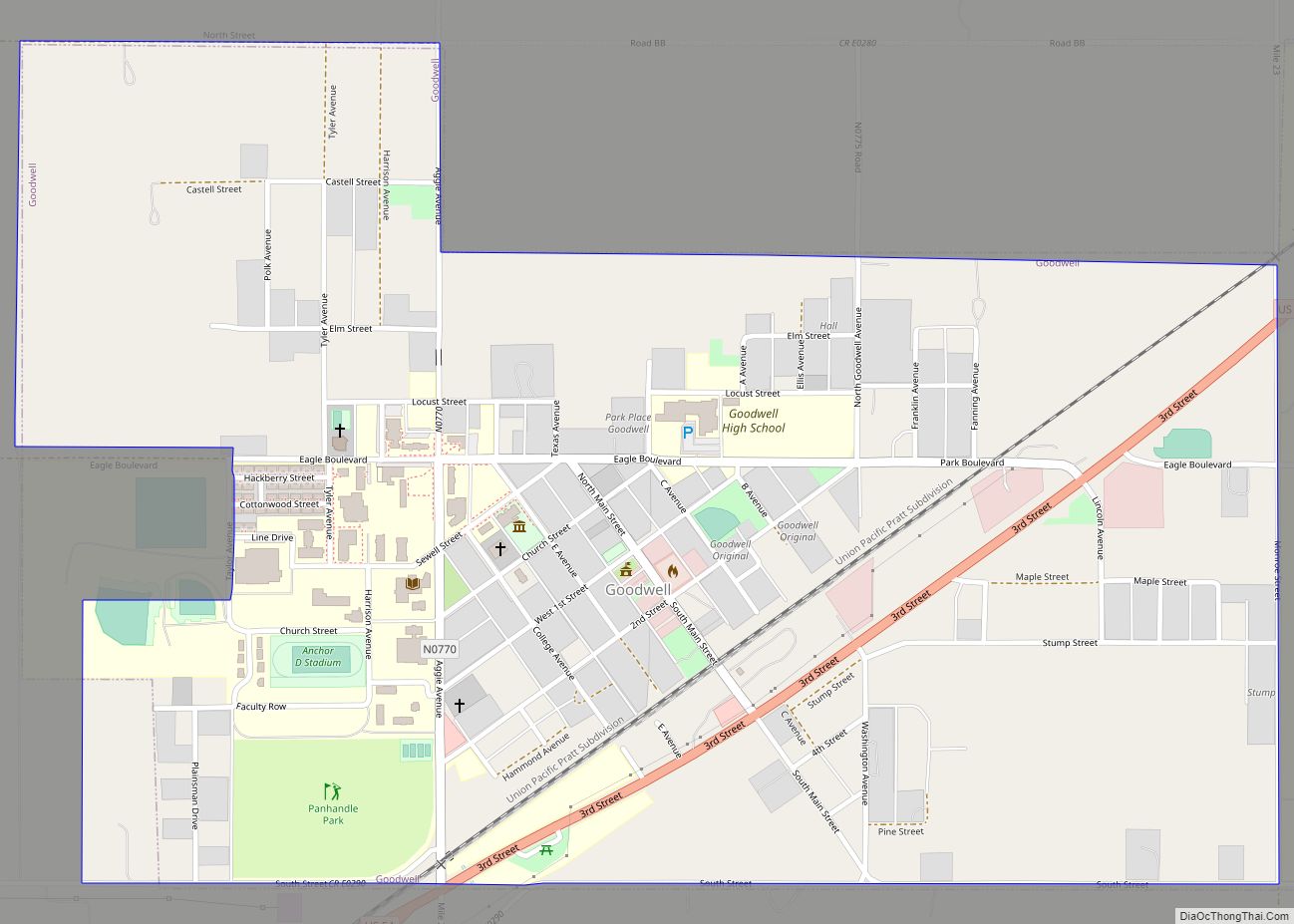
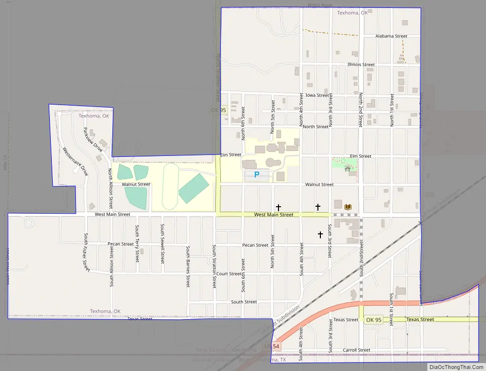
Texhoma Road Map
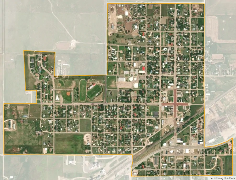
Texhoma city Satellite Map
Geography
Texhoma is located at 36°30′16″N 101°47′11″W / 36.50444°N 101.78639°W / 36.50444; -101.78639 (36.504421, -101.786517). According to the United States Census Bureau, the town has a total area of 0.6 square miles (1.6 km), all land.
See also
Map of Oklahoma State and its subdivision:- Adair
- Alfalfa
- Atoka
- Beaver
- Beckham
- Blaine
- Bryan
- Caddo
- Canadian
- Carter
- Cherokee
- Choctaw
- Cimarron
- Cleveland
- Coal
- Comanche
- Cotton
- Craig
- Creek
- Custer
- Delaware
- Dewey
- Ellis
- Garfield
- Garvin
- Grady
- Grant
- Greer
- Harmon
- Harper
- Haskell
- Hughes
- Jackson
- Jefferson
- Johnston
- Kay
- Kingfisher
- Kiowa
- Latimer
- Le Flore
- Lincoln
- Logan
- Love
- Major
- Marshall
- Mayes
- McClain
- McCurtain
- McIntosh
- Murray
- Muskogee
- Noble
- Nowata
- Okfuskee
- Oklahoma
- Okmulgee
- Osage
- Ottawa
- Pawnee
- Payne
- Pittsburg
- Pontotoc
- Pottawatomie
- Pushmataha
- Roger Mills
- Rogers
- Seminole
- Sequoyah
- Stephens
- Texas
- Tillman
- Tulsa
- Wagoner
- Washington
- Washita
- Woods
- Woodward
- Alabama
- Alaska
- Arizona
- Arkansas
- California
- Colorado
- Connecticut
- Delaware
- District of Columbia
- Florida
- Georgia
- Hawaii
- Idaho
- Illinois
- Indiana
- Iowa
- Kansas
- Kentucky
- Louisiana
- Maine
- Maryland
- Massachusetts
- Michigan
- Minnesota
- Mississippi
- Missouri
- Montana
- Nebraska
- Nevada
- New Hampshire
- New Jersey
- New Mexico
- New York
- North Carolina
- North Dakota
- Ohio
- Oklahoma
- Oregon
- Pennsylvania
- Rhode Island
- South Carolina
- South Dakota
- Tennessee
- Texas
- Utah
- Vermont
- Virginia
- Washington
- West Virginia
- Wisconsin
- Wyoming