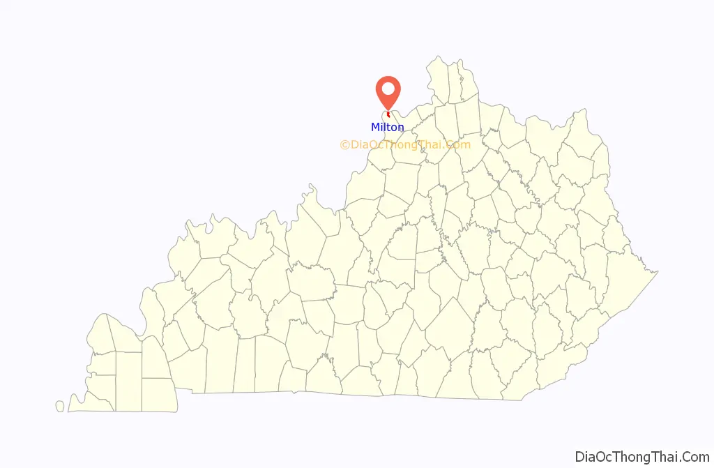
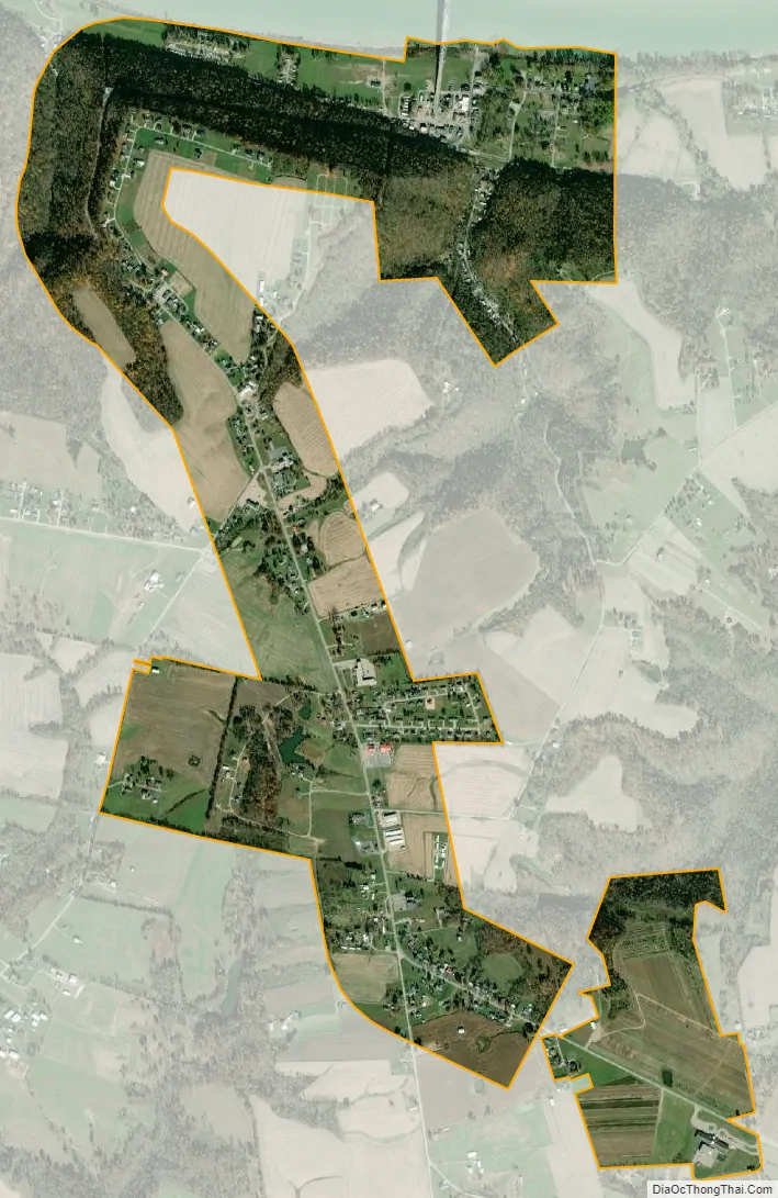
Milton is a home rule-class city along the south bank of the Ohio River in Trimble County, Kentucky, United States. The population was 597 at the time of the 2020 Census, making it the largest city in Trimble County. The Milton-Madison Bridge connects it to Madison, Indiana, and is the only road link between the two states for 40 miles (64 km) in either direction.
It was part of the setting for the 1958 film Some Came Running starring Frank Sinatra, Dean Martin, and Shirley MacLaine.
| Name: | Milton city |
|---|---|
| LSAD Code: | 25 |
| LSAD Description: | city (suffix) |
| State: | Kentucky |
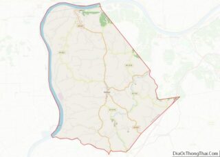
| County: | Trimble County |
| Incorporated: | 1846 |
| Elevation: | 459 ft (140 m) |
| Total Area: | 1.48 sq mi (3.84 km²) |
| Land Area: | 1.48 sq mi (3.83 km²) |
| Water Area: | 0.00 sq mi (0.01 km²) |
| Total Population: | 590 |
| Population Density: | 399.19/sq mi (154.13/km²) |
| ZIP code: | 40045 |
| Area code: | 502 |
| FIPS code: | 2152590 |
| GNISfeature ID: | 0498397 |
| Website: | milton.ky.gov |
Online Interactive Map
Click on ![]() to view map in "full screen" mode.
to view map in "full screen" mode.
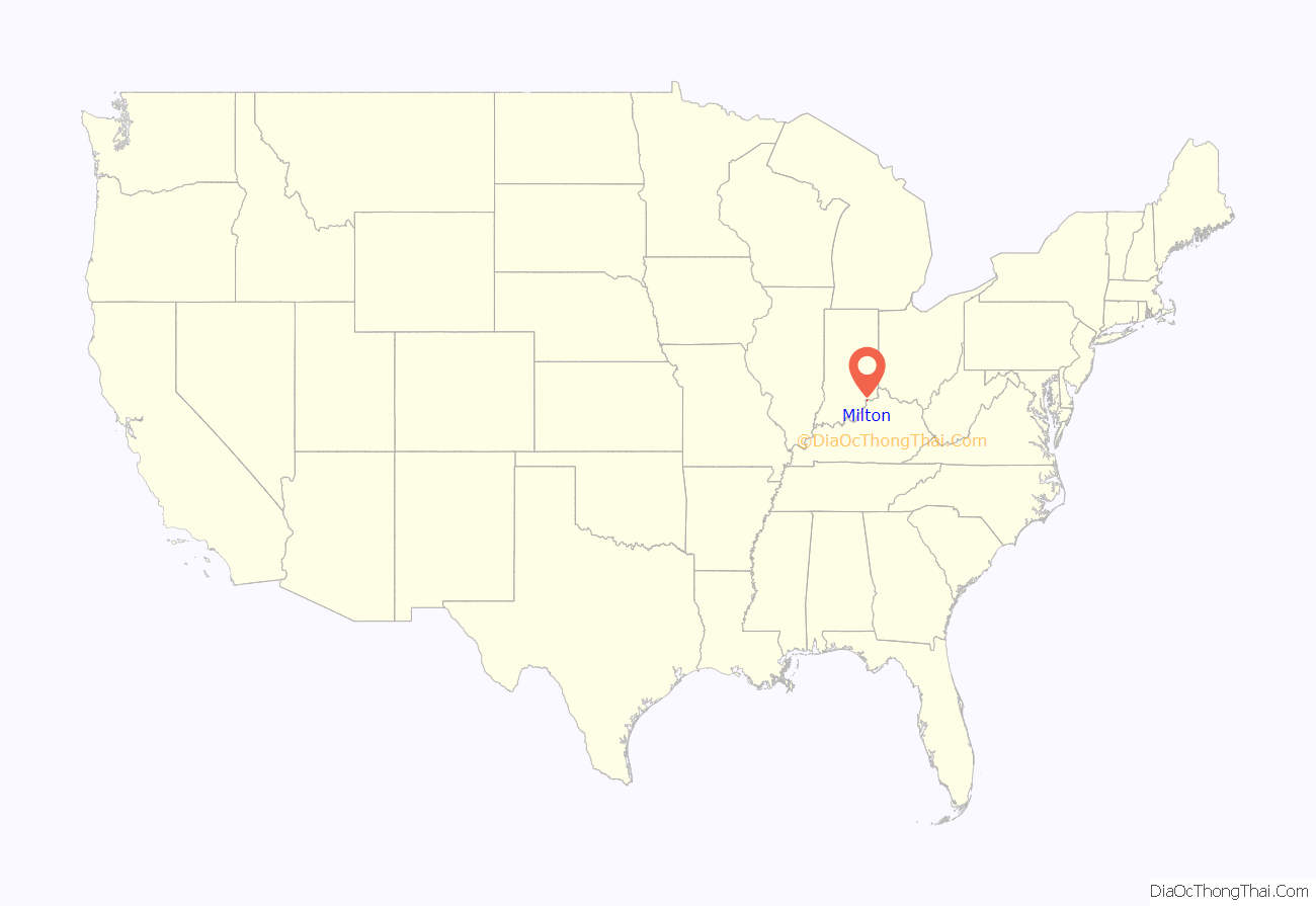
Milton location map. Where is Milton city?
History
Milton was settled in 1785 and founded in 1789, at which time it was still part of Virginia. A ferry with Madison, Indiana, on the opposite side of the Ohio began service in 1804. A bridge connecting them was constructed in 1929.
One of Milton’s earliest newspapers, the Milton Free Press, was established in 1879 by Lewis P. Sarlls.
The city has endured many floods and most of its riverside downtown has been repeatedly destroyed, leaving little historic architecture. Some exceptions are Ginn’s Furniture Store, Rowlett’s Grocery, and County General Store, all of which are located on Main Street.
Milton was hit by a tornado on March 2, 2012. The Milton Fire and Rescue firehouse #2 was destroyed.
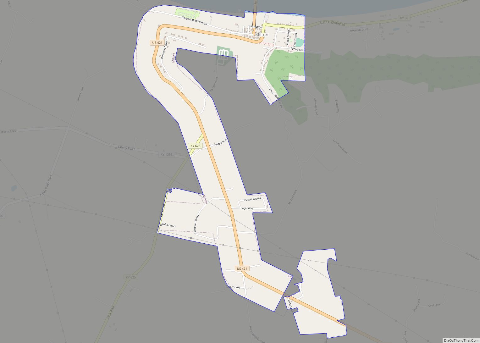
Milton Road Map

Milton city Satellite Map
Geography
Milton is located at 38°42.6′N 85°22.5′W / 38.7100°N 85.3750°W / 38.7100; -85.3750 (38.7095, -85.3742).
According to the United States Census Bureau, the city has a total area of 1.2 square miles (3.1 km), all land.
See also
Map of Kentucky State and its subdivision:- Adair
- Allen
- Anderson
- Ballard
- Barren
- Bath
- Bell
- Boone
- Bourbon
- Boyd
- Boyle
- Bracken
- Breathitt
- Breckinridge
- Bullitt
- Butler
- Caldwell
- Calloway
- Campbell
- Carlisle
- Carroll
- Carter
- Casey
- Christian
- Clark
- Clay
- Clinton
- Crittenden
- Cumberland
- Daviess
- Edmonson
- Elliott
- Estill
- Fayette
- Fleming
- Floyd
- Franklin
- Fulton
- Gallatin
- Garrard
- Grant
- Graves
- Grayson
- Green
- Greenup
- Hancock
- Hardin
- Harlan
- Harrison
- Hart
- Henderson
- Henry
- Hickman
- Hopkins
- Jackson
- Jefferson
- Jessamine
- Johnson
- Kenton
- Knott
- Knox
- Larue
- Laurel
- Lawrence
- Lee
- Leslie
- Letcher
- Lewis
- Lincoln
- Livingston
- Logan
- Lyon
- Madison
- Magoffin
- Marion
- Marshall
- Martin
- Mason
- McCracken
- McCreary
- McLean
- Meade
- Menifee
- Mercer
- Metcalfe
- Monroe
- Montgomery
- Morgan
- Muhlenberg
- Nelson
- Nicholas
- Ohio
- Oldham
- Owen
- Owsley
- Pendleton
- Perry
- Pike
- Powell
- Pulaski
- Robertson
- Rockcastle
- Rowan
- Russell
- Scott
- Shelby
- Simpson
- Spencer
- Taylor
- Todd
- Trigg
- Trimble
- Union
- Warren
- Washington
- Wayne
- Webster
- Whitley
- Wolfe
- Woodford
- Alabama
- Alaska
- Arizona
- Arkansas
- California
- Colorado
- Connecticut
- Delaware
- District of Columbia
- Florida
- Georgia
- Hawaii
- Idaho
- Illinois
- Indiana
- Iowa
- Kansas
- Kentucky
- Louisiana
- Maine
- Maryland
- Massachusetts
- Michigan
- Minnesota
- Mississippi
- Missouri
- Montana
- Nebraska
- Nevada
- New Hampshire
- New Jersey
- New Mexico
- New York
- North Carolina
- North Dakota
- Ohio
- Oklahoma
- Oregon
- Pennsylvania
- Rhode Island
- South Carolina
- South Dakota
- Tennessee
- Texas
- Utah
- Vermont
- Virginia
- Washington
- West Virginia
- Wisconsin
- Wyoming