Weaverville is a census-designated place and the county seat of Trinity County, California, United States. Its population is 3,667 as of the 2020 census, up from 3,600 from the 2010 census.
| Name: | Weaverville CDP |
|---|---|
| LSAD Code: | 57 |
| LSAD Description: | CDP (suffix) |
| State: | California |
| County: | Trinity County |
| Elevation: | 2,051 ft (625 m) |
| Total Area: | 10.424 sq mi (26.999 km²) |
| Land Area: | 10.424 sq mi (26.999 km²) |
| Water Area: | 0 sq mi (0 km²) 0% |
| Total Population: | 3,667 |
| Population Density: | 350/sq mi (140/km²) |
| ZIP code: | 96093 |
| Area code: | 530 |
| FIPS code: | 0683794 |
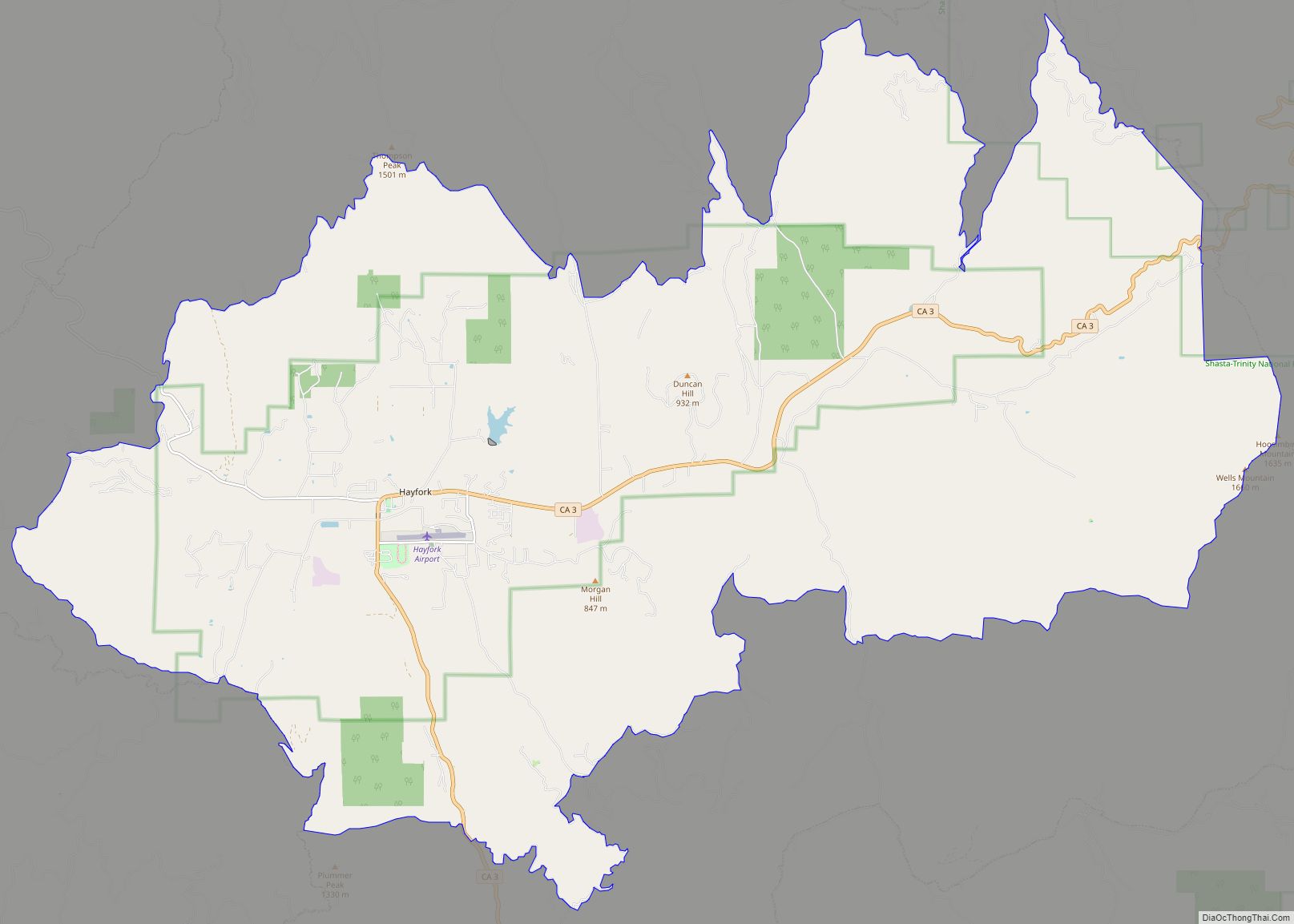
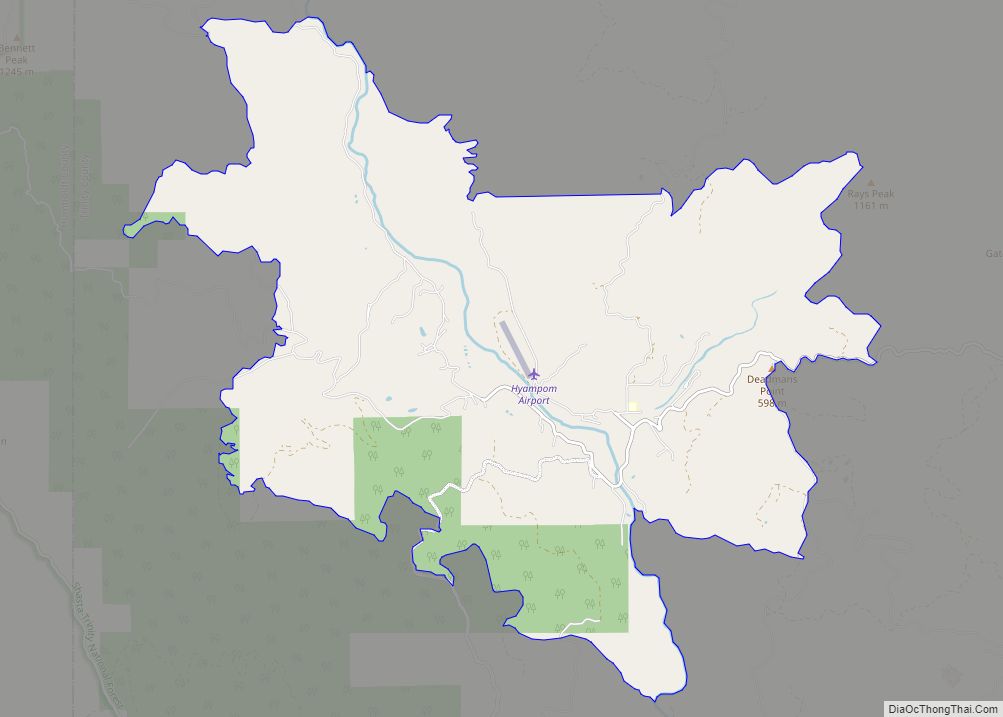
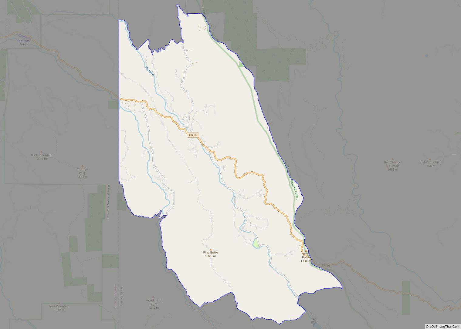
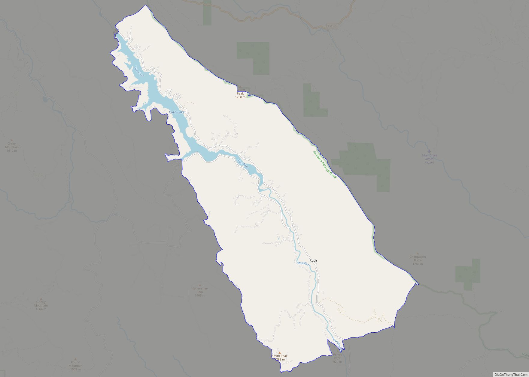
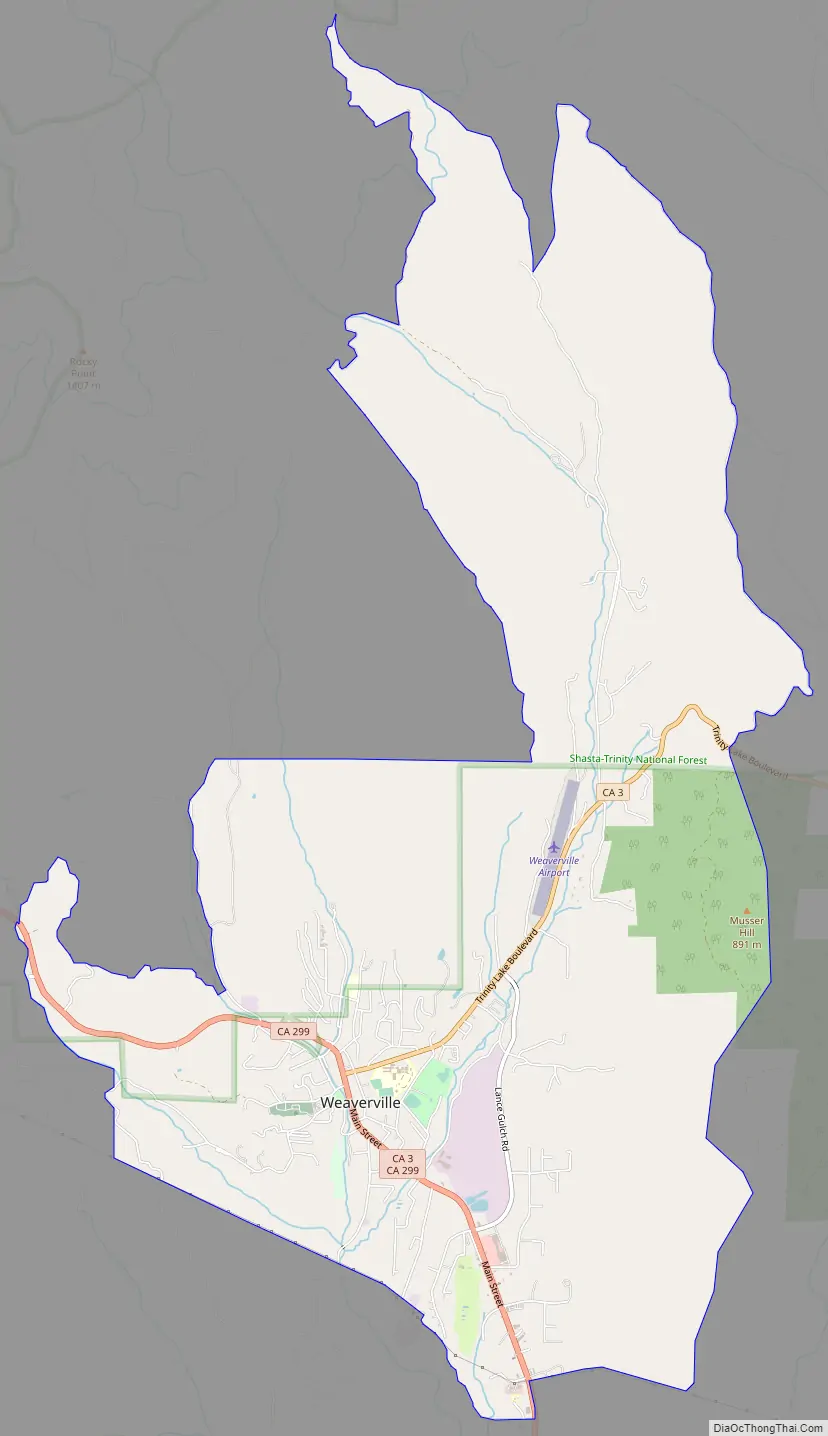
Online Interactive Map
Click on ![]() to view map in "full screen" mode.
to view map in "full screen" mode.
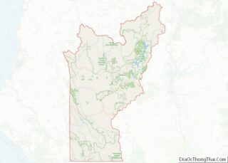
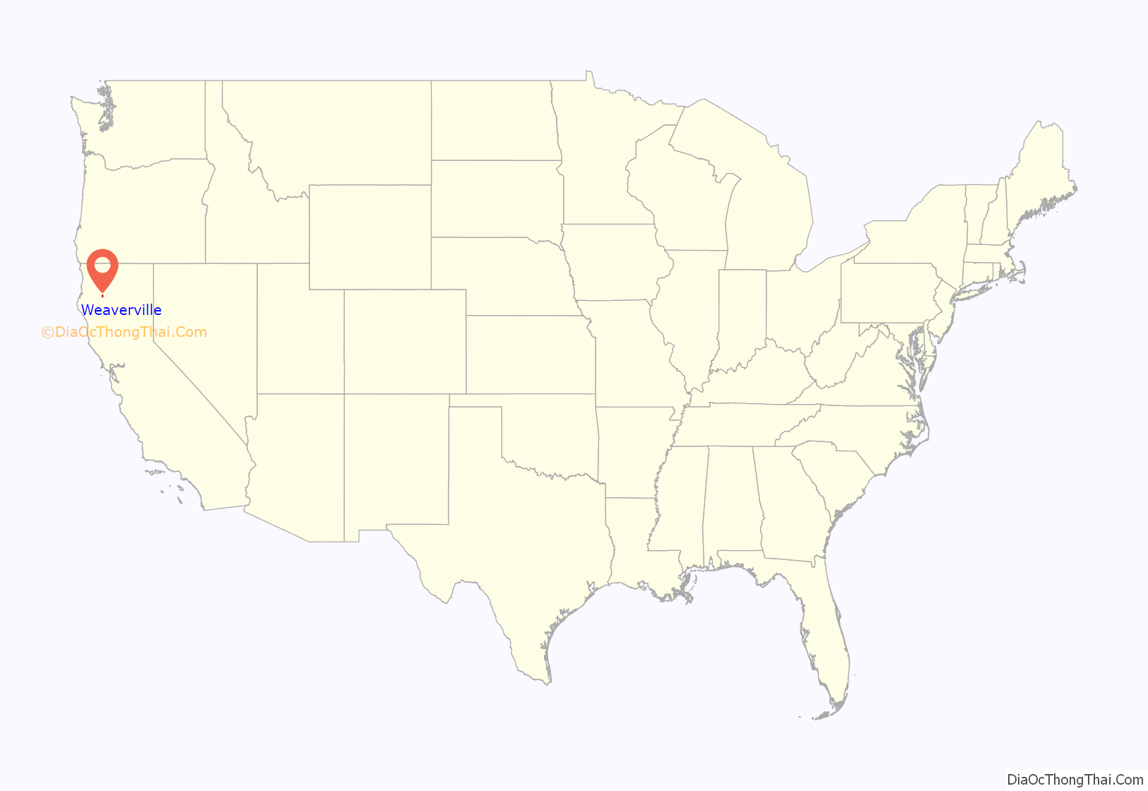
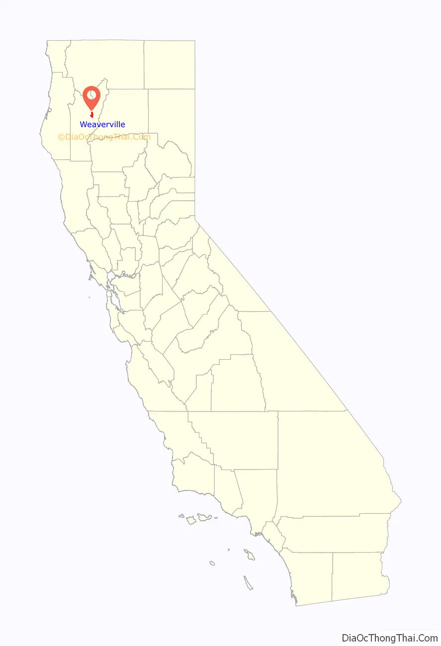
Weaverville location map. Where is Weaverville CDP?
History
Founded in 1850, Weaverville is a historic California Gold Rush town. Located at the foot of the current Trinity Alps Wilderness Area, Weaverville was once home to approximately 2,000 Chinese gold miners and had its own Chinatown. Logging and tourism were the economic mainstays of Weaverville for many years. The regional economy has been in steady decline for many years, with only a small uplift brought about by the global real estate bubble. Since 1990, the unemployment rate in the county has ranged from 4.3% in September 2018 to 25.0% in January 1992. The county’s unemployment rate in July 2019 was 5.1%.
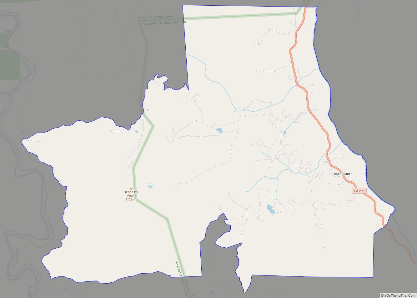
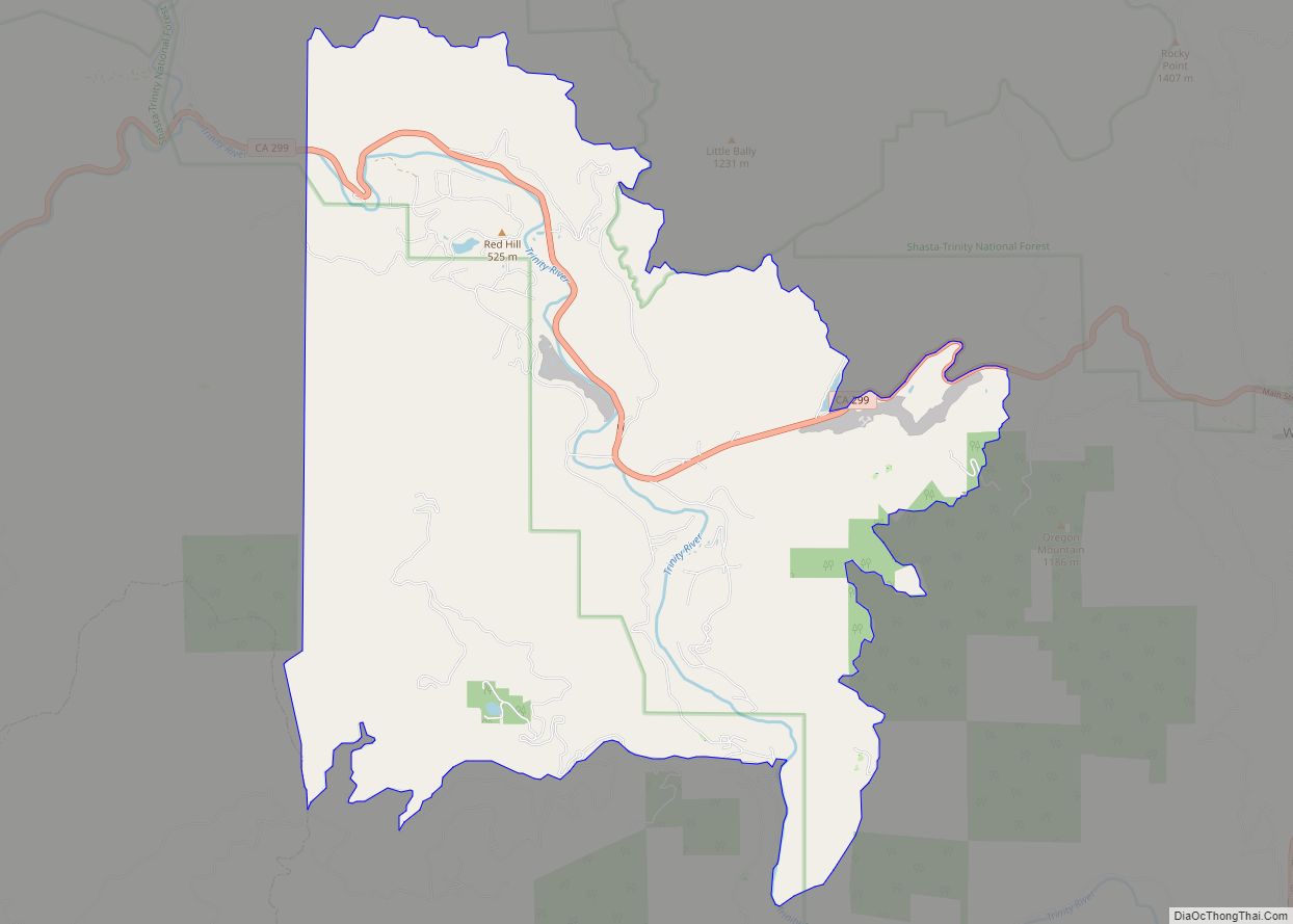
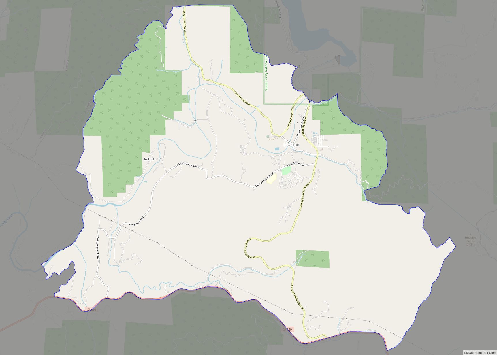
Weaverville Road Map
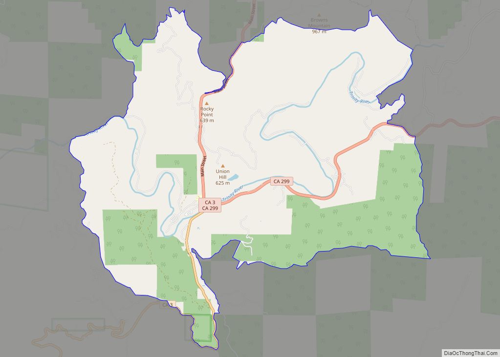
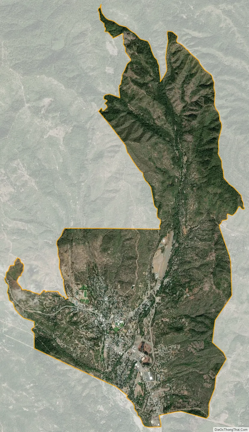
Weaverville city Satellite Map
Geography
Weaverville is located at 40°44′12″N 122°56′10″W / 40.73667°N 122.93611°W / 40.73667; -122.93611 (40.736687, -122.936208).
According to the United States Census Bureau, the CDP has a total area of 10.4 square miles (27 km), all of it land.
Weaverville has a Mediterranean climate (Köppen Csa, bordering on Csb), though owing to its inland valley location the town is wetter and observes much larger diurnal temperature variations, creating colder mornings, than considered prototypical for the climate type. The National Weather Service has had a cooperative weather station in Weaverville since 1894. Based on those records, average January temperatures are a maximum of 47.2 °F (8.4 °C) and a minimum of 27.4 °F (−2.6 °C), while July temperatures average a maximum of 94.1 °F (34.5 °C) and a minimum of 49.1 °F (9.5 °C). There are an average of 77.3 afternoons with highs of 90 °F (32 °C) or higher, plus an average of 126.8 mornings with lows of 32 °F (0 °C) or lower, although only two afternoons every three years fail to rise above freezing, and only one morning every three years will fall to 0 °F (−18 °C) or below. The record high temperature was 116 °F (46.7 °C) on August 4, 1932, and the record low temperature was −10 °F (−23.3 °C) on December 9, 1972.
Average annual precipitation is 35.45 inches (900 mm), with an average of 83 days annually with measurable precipitation. The most precipitation in one month was 20.86 inches (530 mm) in December 2005, while the wettest “rain year” was from July 1982 to June 1983 with at least 65.82 inches (1,672 mm) (several days missing) and the driest from July 1990 to June 1991 with 19.02 inches (483 mm) – although the 1976–77 “rain year” with many days in May missing had a recorded total of only 12.73 inches (323 mm). The most precipitation in 24 hours was 5.5 inches (140 mm) on January 4, 1982. Average annual snowfall is 8.7 inches (22 cm). The most snowfall in one month was 75.3 inches (191 cm) in January 1950.
See also
Map of California State and its subdivision:- Alameda
- Alpine
- Amador
- Butte
- Calaveras
- Colusa
- Contra Costa
- Del Norte
- El Dorado
- Fresno
- Glenn
- Humboldt
- Imperial
- Inyo
- Kern
- Kings
- Lake
- Lassen
- Los Angeles
- Madera
- Marin
- Mariposa
- Mendocino
- Merced
- Modoc
- Mono
- Monterey
- Napa
- Nevada
- Orange
- Placer
- Plumas
- Riverside
- Sacramento
- San Benito
- San Bernardino
- San Diego
- San Francisco
- San Joaquin
- San Luis Obispo
- San Mateo
- Santa Barbara
- Santa Clara
- Santa Cruz
- Shasta
- Sierra
- Siskiyou
- Solano
- Sonoma
- Stanislaus
- Sutter
- Tehama
- Trinity
- Tulare
- Tuolumne
- Ventura
- Yolo
- Yuba
- Alabama
- Alaska
- Arizona
- Arkansas
- California
- Colorado
- Connecticut
- Delaware
- District of Columbia
- Florida
- Georgia
- Hawaii
- Idaho
- Illinois
- Indiana
- Iowa
- Kansas
- Kentucky
- Louisiana
- Maine
- Maryland
- Massachusetts
- Michigan
- Minnesota
- Mississippi
- Missouri
- Montana
- Nebraska
- Nevada
- New Hampshire
- New Jersey
- New Mexico
- New York
- North Carolina
- North Dakota
- Ohio
- Oklahoma
- Oregon
- Pennsylvania
- Rhode Island
- South Carolina
- South Dakota
- Tennessee
- Texas
- Utah
- Vermont
- Virginia
- Washington
- West Virginia
- Wisconsin
- Wyoming