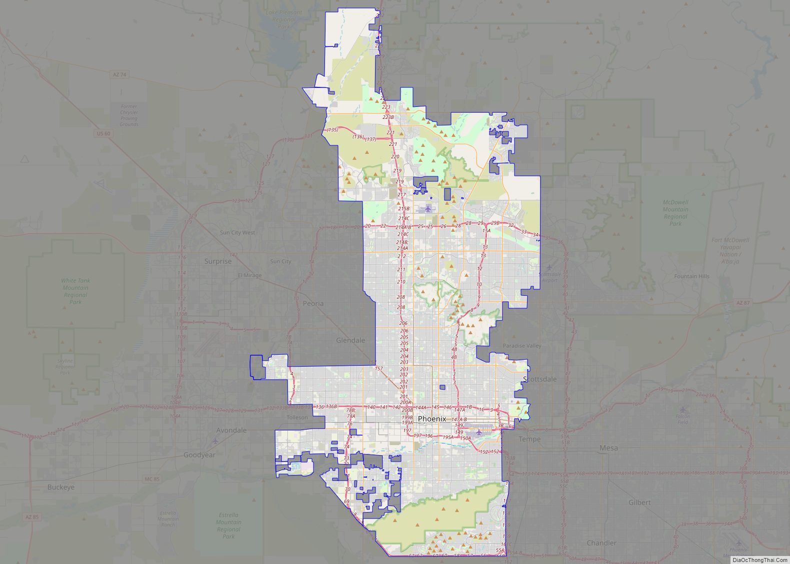
Phoenix (/ˈfiːnɪks/ FEE-niks; Navajo: Hoozdo; O’odham: S-ki:kigk; Spanish: Fénix or Fínix,; Walapai: Banyà:nyuwá) is the capital and most populous city of the U.S. state of Arizona, with 1,608,139 residents as of 2020. It is the fifth-most populous city in the United States, the most populous state capital in the country, and the only U.S. state ... Read more
Arizona Cities and Places
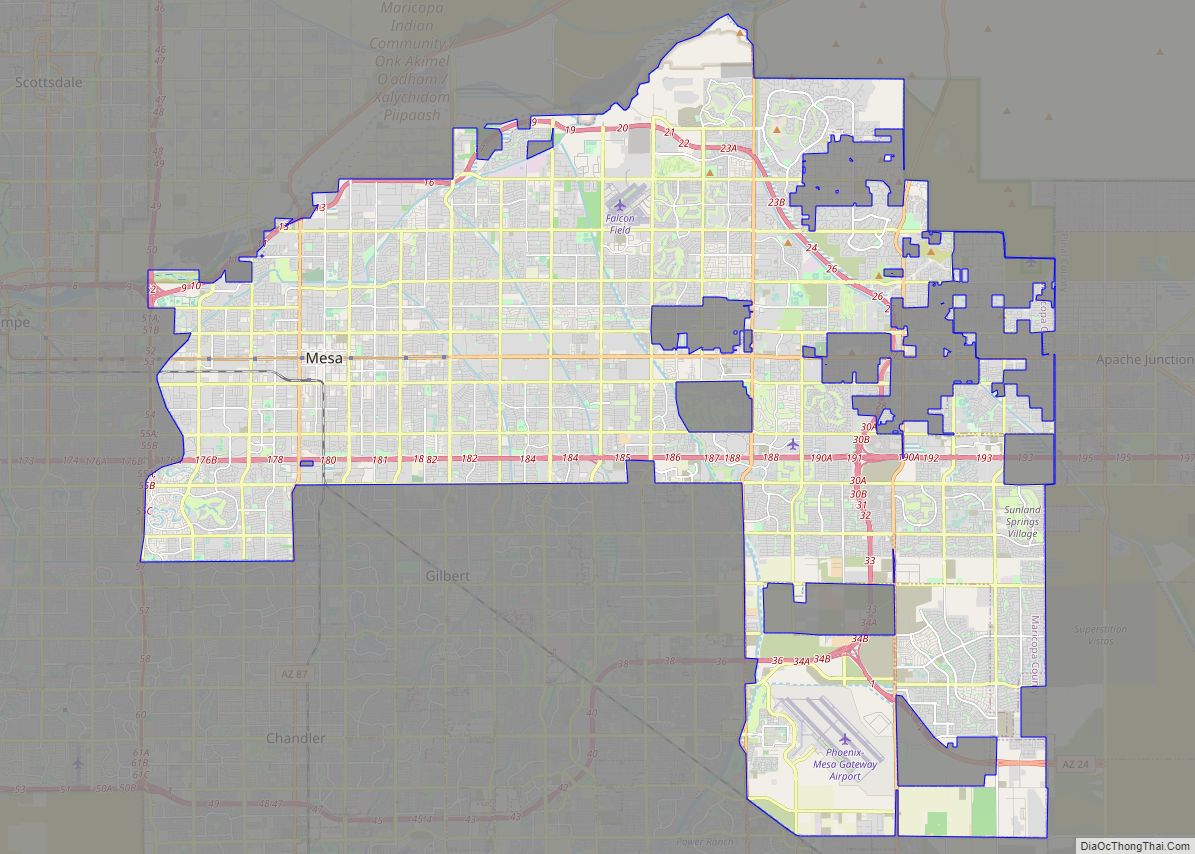
Mesa (/ˈmeɪsə/ MAY-sə) is a city in Maricopa County, in the U.S. state of Arizona. It is the most populous city in the East Valley section of the Phoenix Metropolitan Area. It is bordered by Tempe on the west, the Salt River Pima-Maricopa Indian Community on the north, Chandler and Gilbert on the south along ... Read more
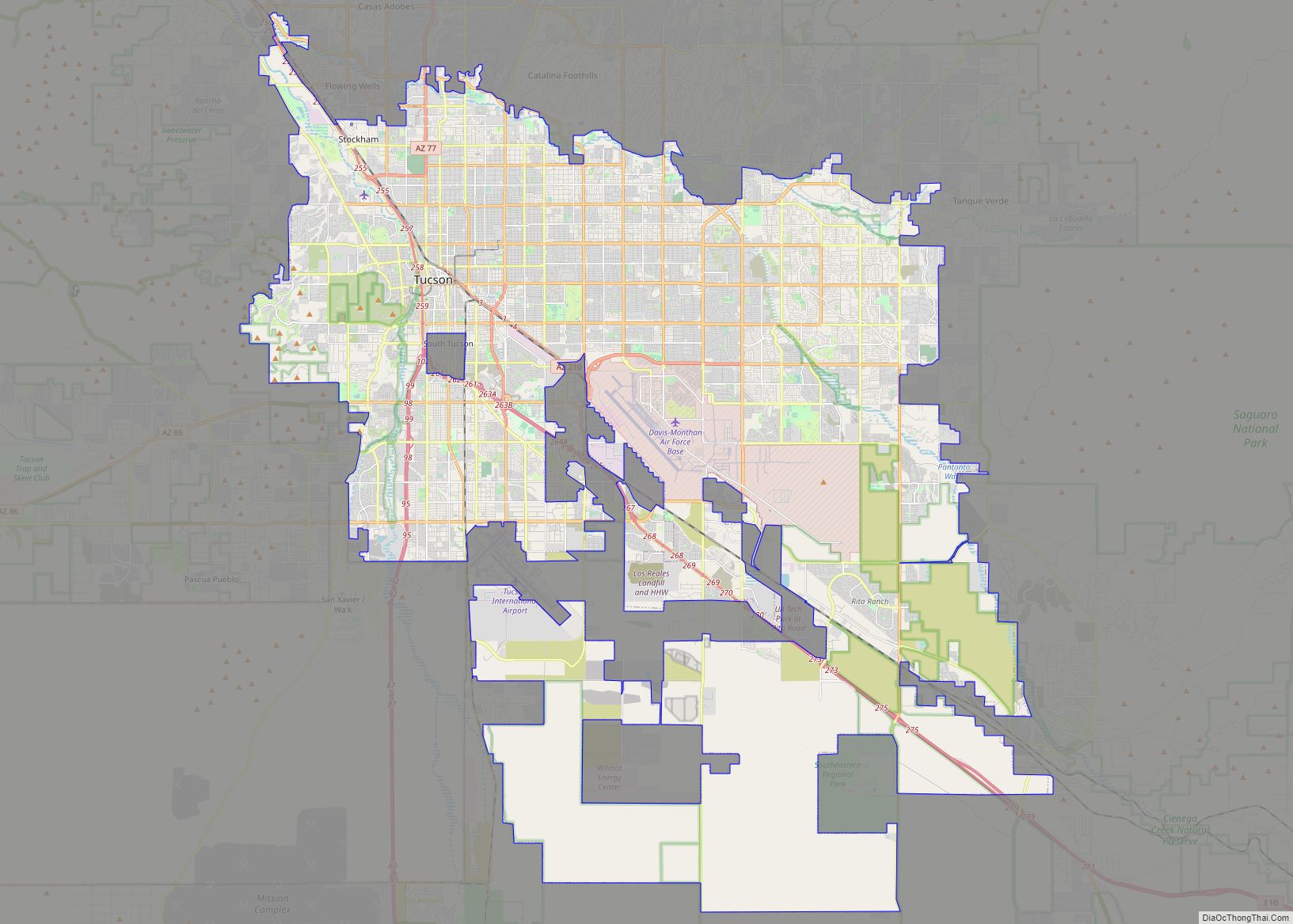
Tucson (/ˈtuːsɒn/; TOO-saun; Spanish: Tucson, O’odham: Cuk-Ṣon) is a city in and the county seat of Pima County, Arizona, United States, and is home to the University of Arizona. It is the second-largest city in Arizona behind Phoenix, with a population of 542,629 in the 2020 United States census, while the population of the entire ... Read more
Chandler is a city in Maricopa County, Arizona, United States, and a suburb in the Phoenix-Mesa-Chandler Metropolitan Statistical Area (MSA). It is bordered to the north and west by Tempe, to the north by Mesa, to the west by Phoenix, to the south by the Gila River Indian Community, and to the east by Gilbert. ... Read more
Gilbert is a town in Maricopa County, Arizona, United States, located southeast of Phoenix within the city’s metropolitan area. Incorporated on July 6, 1920, Gilbert was once known as the “Hay Shipping Capital of the World”. It is the fifth-largest municipality in Arizona, and the fourth-largest in the Phoenix metro area. It covers an area ... Read more
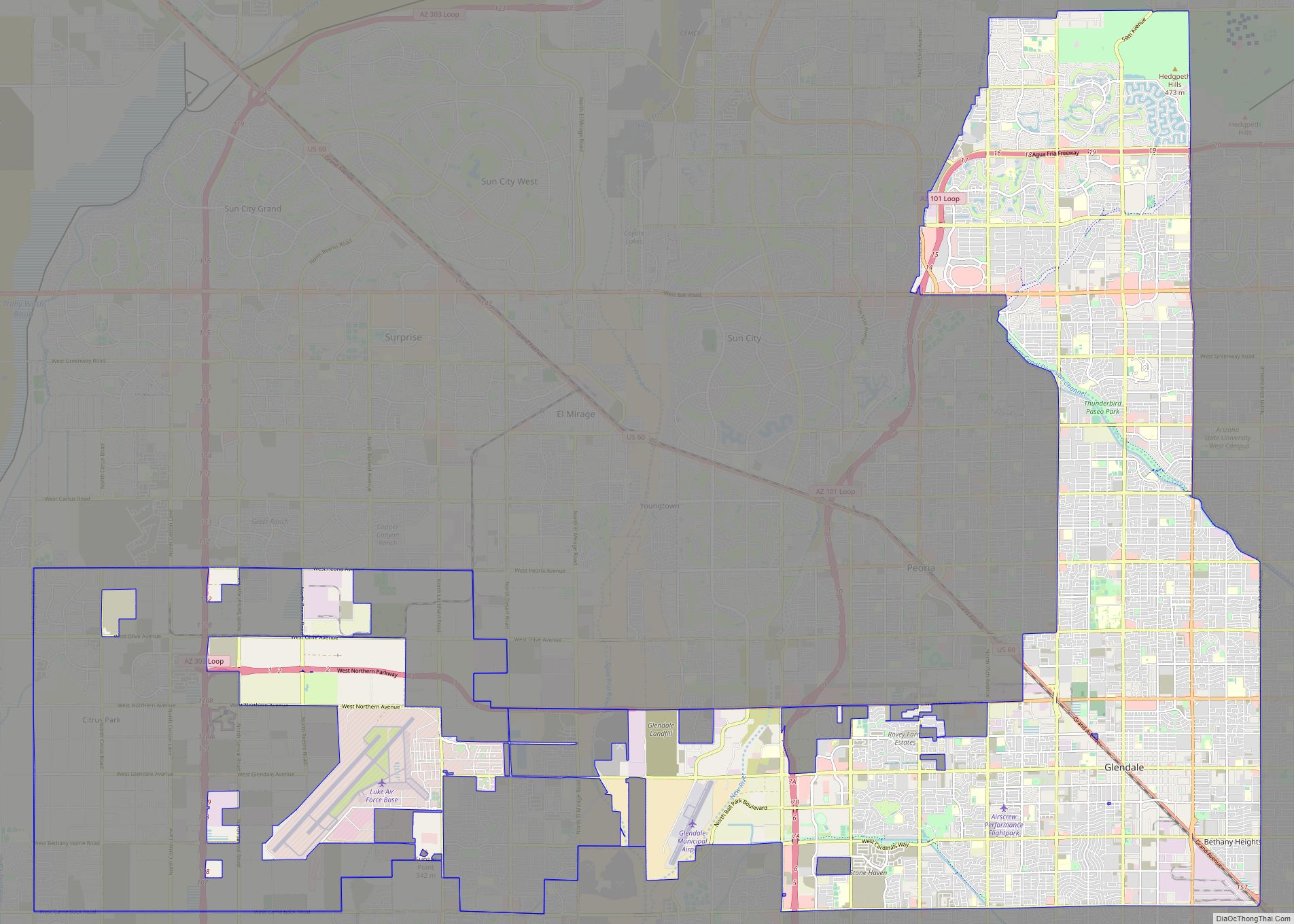
Glendale (/ˈɡlɛndeɪl/) is a city in Maricopa County, Arizona, United States, located approximately 9 miles (14 km) northwest of Downtown Phoenix. As of the 2020 census, it has a population of 248,325. Glendale city overview: Name: Glendale city LSAD Code: 25 LSAD Description: city (suffix) State: Arizona County: Maricopa County Elevation: 1,152 ft (351 m) Total Area: 65.09 sq mi ... Read more
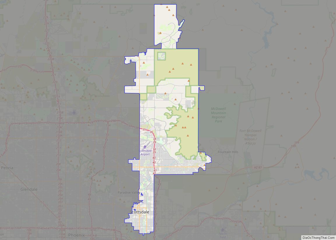
Scottsdale is a city in the eastern part of Maricopa County, Arizona, United States, and is part of the Phoenix metropolitan area. Named Scottsdale in 1894 after its founder Winfield Scott, a retired U.S. Army chaplain, the city was incorporated in 1951 with a population of 2,000. At the 2020 census, the population was 241,361, ... Read more
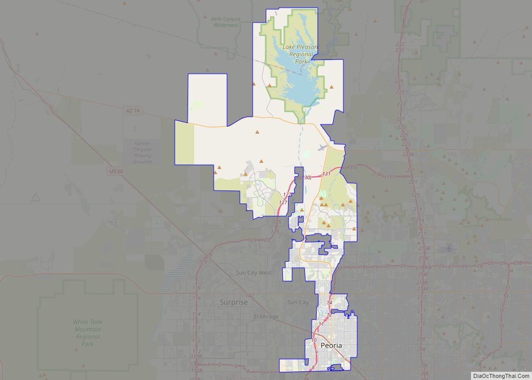
Peoria /piˈɔːriə/ is a city in Maricopa and Yavapai counties in the U.S. state of Arizona. Most of the city is located in Maricopa County, while a portion in the north is in Yavapai County. It is a major suburb of Phoenix. As of the 2020 census, the population of Peoria was 190,985, up from ... Read more
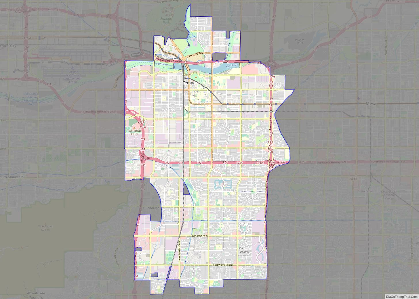
Tempe (/tɛmˈpiː/ tem-PEE; Oidbaḍ in O’odham) is a city in Maricopa County, Arizona, United States, with the Census Bureau reporting a 2020 population of 180,587. The city is named after the Vale of Tempe in Greece. Tempe is located in the East Valley section of metropolitan Phoenix; it is bordered by Phoenix and Guadalupe on ... Read more
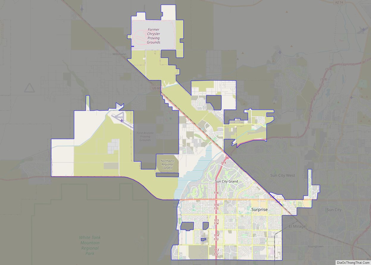
Surprise is a city in Maricopa County, in the U.S. state of Arizona. The population was 143,148 at the 2020 census, up from 117,517 in 2010 and just 30,848 in 2000. The city has a 10,562-square-foot (981.2 m) Aquatics Center and Maricopa County’s northwest regional library, a $5.5 million, 20,000-square-foot (1,900 m) library, along with a 100.3 ... Read more
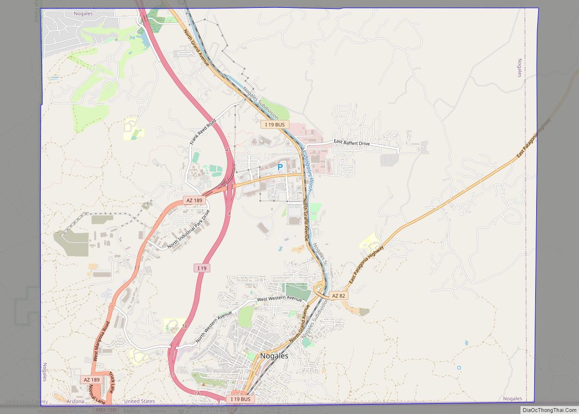
Nogales (Spanish for ‘walnut trees’; Spanish: [noˈɣales]; English: /nəˈɡɑːlɪs/ or /noʊˈɡɑːleɪs/) is a city in Santa Cruz County, Arizona. The population was 20,837 at the 2010 census and estimated 20,103 in 2019. Nogales forms part of the larger Tucson–Nogales combined statistical area, with a total population of 1,027,683 as of the 2010 Census. The city is ... Read more
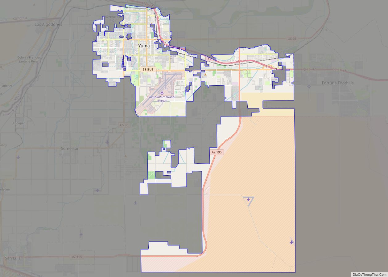
Yuma (Cocopah: Yuum) is a city in and the county seat of Yuma County, Arizona, United States. The city’s population was 93,064 at the 2010 census, up from the 2000 census population of 77,515. Yuma is the principal city of the Yuma, Arizona, Metropolitan Statistical Area, which consists of Yuma County. According to the United ... Read more
