Chandler is a city in Maricopa County, Arizona, United States, and a suburb in the Phoenix-Mesa-Chandler Metropolitan Statistical Area (MSA). It is bordered to the north and west by Tempe, to the north by Mesa, to the west by Phoenix, to the south by the Gila River Indian Community, and to the east by Gilbert. As of the 2021 census, the population of Chandler was 279,458, up from 236,123 at the 2010 census.
| Name: | Chandler city |
|---|---|
| LSAD Code: | 25 |
| LSAD Description: | city (suffix) |
| State: | Arizona |
| County: | Maricopa County |
| Founded: | May 17, 1912 |
| Incorporated: | 1920 |
| Elevation: | 1,211 ft (370 m) |
| Total Area: | 65.55 sq mi (169.77 km²) |
| Land Area: | 65.48 sq mi (169.58 km²) |
| Water Area: | 0.07 sq mi (0.18 km²) |
| Total Population: | 275,987 |
| Population Density: | 4,215.09/sq mi (1,627.45/km²) |
| Area code: | 480 |
| FIPS code: | 0412000 |
| GNISfeature ID: | 2409433 |
| Website: | www.chandleraz.gov |
Online Interactive Map
Click on ![]() to view map in "full screen" mode.
to view map in "full screen" mode.
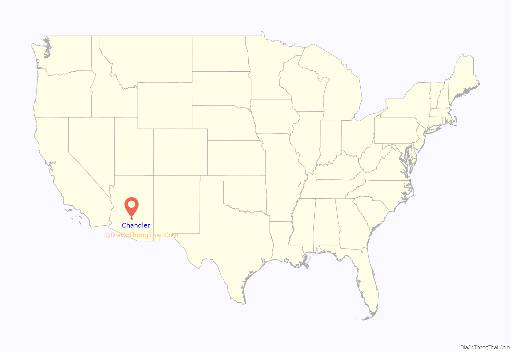
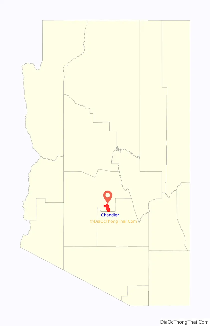
Chandler location map. Where is Chandler city?
History
In 1891, Dr. Alexander John Chandler, the first veterinary surgeon in Arizona Territory, settled on a ranch south of Mesa and studied irrigation engineering. By 1900, he had acquired 18,000 acres (73 km) of land and began drawing up plans for a townsite on what was then known as the Chandler Ranch. The townsite office opened on May 16, 1912.
(Soon after celebrating Chandler’s Centennial on May 17, 2012, Chandler Museum staff discovered that the city had been celebrating the wrong date. In May 1912, the Chandler Arizonan newspaper had erroneously published the founding day as May 17, and through the years residents had misremembered the correct date, which was Thursday, May 16, 1912.)
The original townsite was bounded by Galveston Street on the north, Frye Road on the south, Hartford Street on the west, and Hamilton Street on the east. By 1913, a town center had become established, featuring the Hotel San Marcos, which also had the first grass golf course in the state. Chandler High School was established in 1914. Chandler incorporated on February 16, 1920, after 186 residents petitioned the Maricopa County Board of Supervisors to approve incorporation. Town founder A.J. Chandler was chosen as the president of the first town council and the town’s first mayor.
Most of Chandler’s economy was sustained during the Great Depression (though the Depression was to blame for the cancellation of a second San Marcos hotel), but the cotton crash a few years later had a much deeper impact on the city’s residents. Later, the founding of Williams Air Force Base in 1941 led to a small surge in population, but Chandler still only held 3,800 people by 1950. By 1980, it had grown to 30,000, and it has since paced the Phoenix metropolitan area’s high rate of growth, with suburban residential areas swallowing former agricultural plots. Some of this growth was fueled by the establishment of manufacturing plants for communications and computing firms such as Microchip, Motorola and Intel.
Since the early 1990s, the city of Chandler has experienced exponential growth, ranking among the fastest-growing municipalities in the country. The population had grown to more than 275,000 residents in more than 100,000 homes as of 2020. The heart of Chandler remains its revitalized historic downtown, which includes the Chandler City Hall and the Chandler Center for the Arts. In 2010, Chandler was named an All-America City by the National Civic League. Chandler was the only Arizona winner for the 61st annual awards.
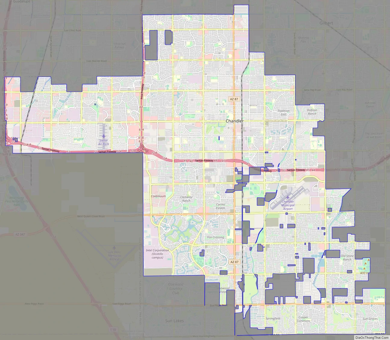
Chandler Road Map
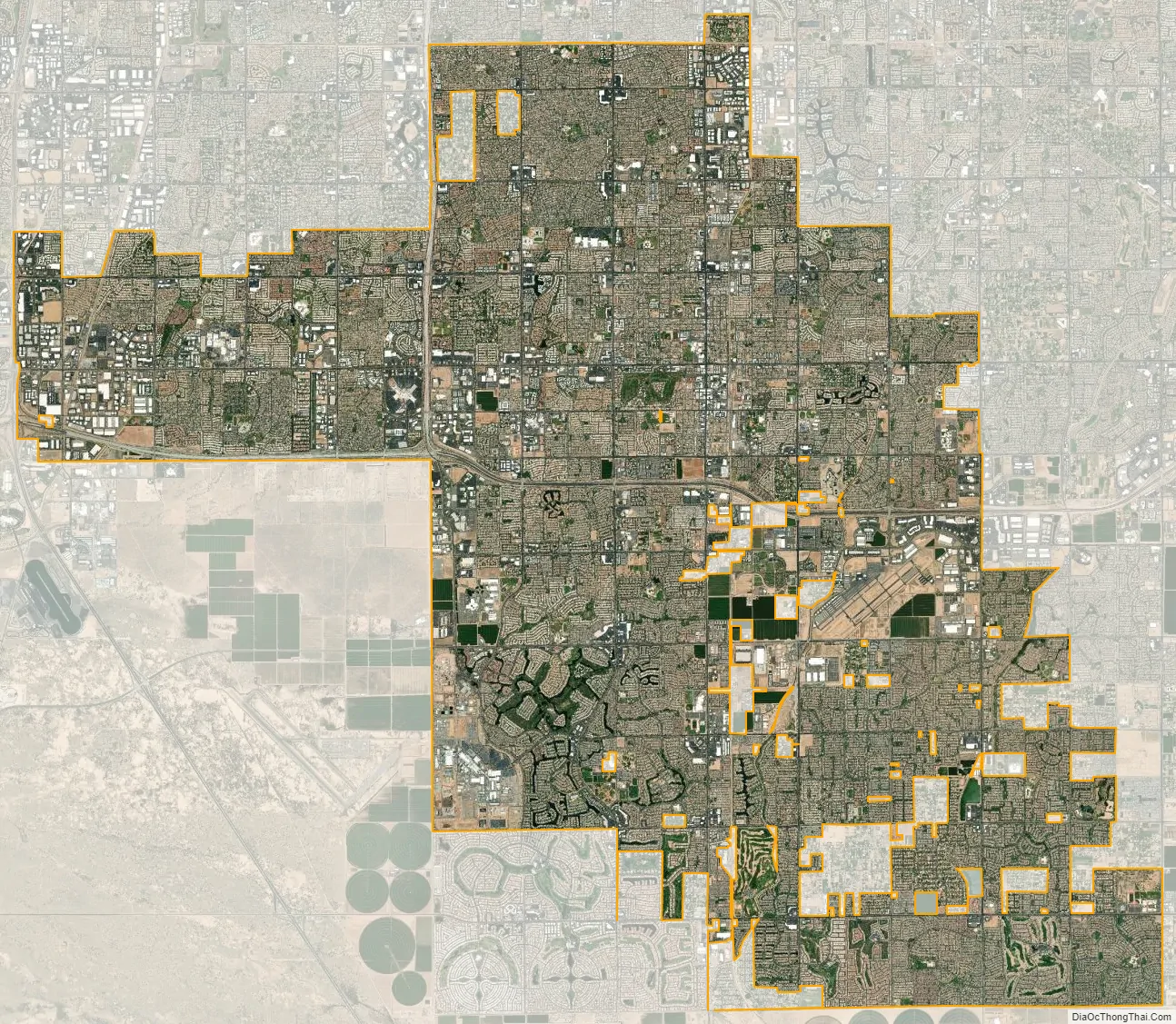
Chandler city Satellite Map
Geography
According to the United States Census Bureau, Chandler has a total area of 65.5 square miles (170 km), of which 0.07 square miles (0.18 km), or 0.11%, are listed as water. The center of the city, along Arizona State Route 87, is 22 miles (35 km) southeast of Downtown Phoenix.
Chandler has reached its physical limits save for some remaining county islands and cannot expand outward anymore due to being bound in by the Gila River Indian Community, Tempe, Mesa, Gilbert, and Phoenix.
Climate
See also
Map of Arizona State and its subdivision: Map of other states:- Alabama
- Alaska
- Arizona
- Arkansas
- California
- Colorado
- Connecticut
- Delaware
- District of Columbia
- Florida
- Georgia
- Hawaii
- Idaho
- Illinois
- Indiana
- Iowa
- Kansas
- Kentucky
- Louisiana
- Maine
- Maryland
- Massachusetts
- Michigan
- Minnesota
- Mississippi
- Missouri
- Montana
- Nebraska
- Nevada
- New Hampshire
- New Jersey
- New Mexico
- New York
- North Carolina
- North Dakota
- Ohio
- Oklahoma
- Oregon
- Pennsylvania
- Rhode Island
- South Carolina
- South Dakota
- Tennessee
- Texas
- Utah
- Vermont
- Virginia
- Washington
- West Virginia
- Wisconsin
- Wyoming


