Tempe (/tɛmˈpiː/ tem-PEE; Oidbaḍ in O’odham) is a city in Maricopa County, Arizona, United States, with the Census Bureau reporting a 2020 population of 180,587. The city is named after the Vale of Tempe in Greece. Tempe is located in the East Valley section of metropolitan Phoenix; it is bordered by Phoenix and Guadalupe on the west, Scottsdale and the Salt River Pima–Maricopa Indian Community on the north, Chandler on the south, and Mesa on the east. Tempe is also the location of the main campus of Arizona State University.
| Name: | Tempe city |
|---|---|
| LSAD Code: | 25 |
| LSAD Description: | city (suffix) |
| State: | Arizona |
| County: | Maricopa County |
| Incorporated: | October 15, 1892 |
| Elevation: | 1,181 ft (360 m) |
| Land Area: | 39.94 sq mi (103.45 km²) |
| Water Area: | 0.21 sq mi (0.54 km²) |
| Population Density: | 4,521.34/sq mi (1,745.72/km²) |
| ZIP code: | 85281–85285, 85287-85288 |
| FIPS code: | 0473000 |
| GNISfeature ID: | 2412045 |
| Website: | www.tempe.gov |
Online Interactive Map
Click on ![]() to view map in "full screen" mode.
to view map in "full screen" mode.
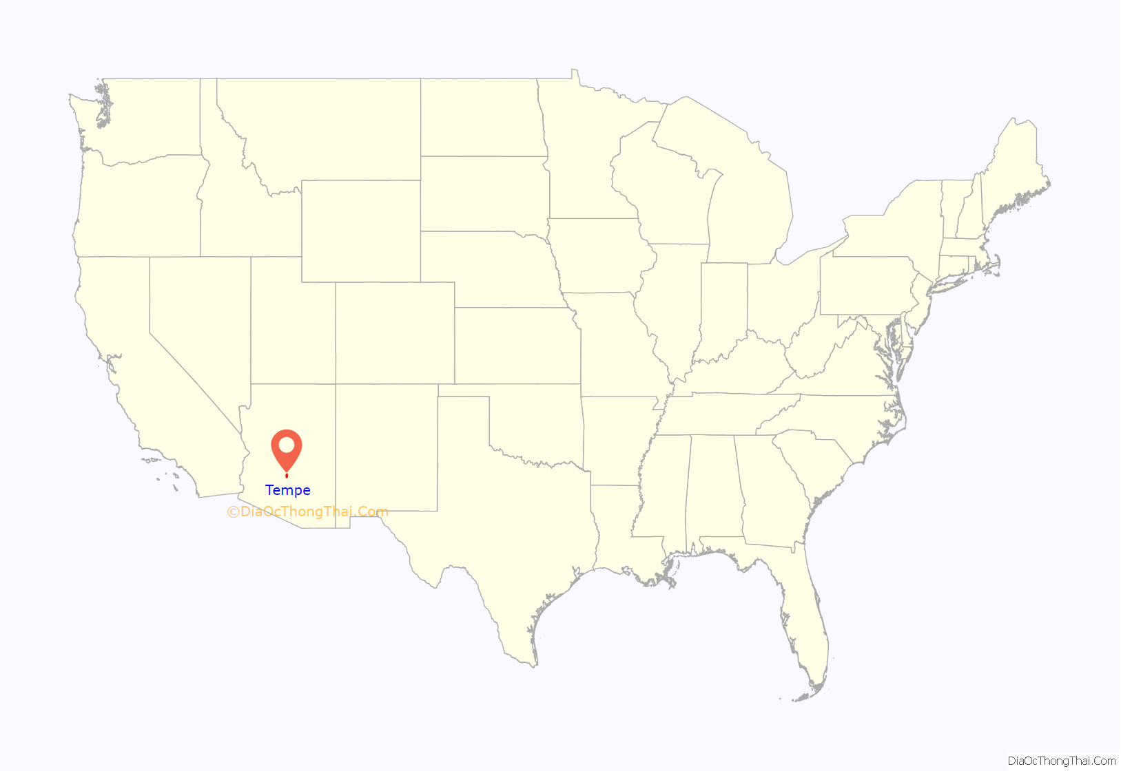
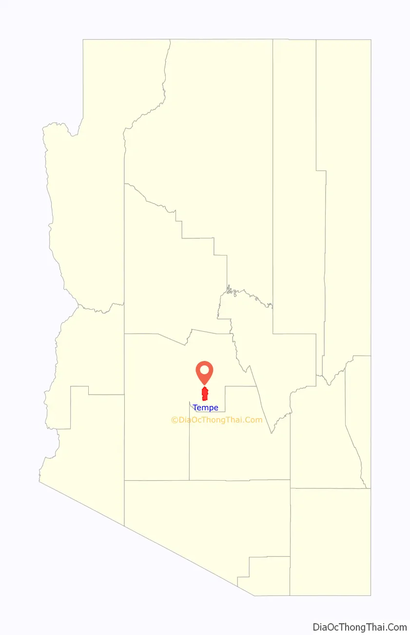
Tempe location map. Where is Tempe city?
History
The Hohokam lived in this area and built canals to support their agriculture. They abandoned their settlements during the 15th century, with a few individuals and families remaining nearby.
Fort McDowell was established approximately 25 mi (40 km) northeast of present downtown Tempe on the upper Salt River in 1865 allowing for new towns to be built farther down the Salt River. US military service members and Hispanic workers were hired to grow food and animal feed to supply the fort, and less than a year later, had set up small camps near the river that were the first permanent communities in the Valley after the fall of the Hohokam. (Phoenix was settled shortly afterward, by 1867–68.) The two settlements were ‘Hayden’s Ferry’, named after a ferry service operated by Charles T. Hayden, and ‘San Pablo’, and were located west and east of Hayden Butte respectively. The ferry became the key river crossing in the area. The Tempe Irrigating Canal Company was soon established by William Kirkland and James McKinney to provide water for alfalfa, wheat, barley, oats, and cotton.
Pioneer Darrell Duppa is credited with suggesting Tempe’s name, adopted in 1879, after comparing the Salt River valley near a 300-foot (91 m)-tall butte, to the Vale of Tempe near Mount Olympus in Greece.
Until the early 1960s, Tempe was a sundown town where African Americans were permitted to work but encouraged to live elsewhere. In 1965, Warren and Carol Livingston were the first African Americans to buy property in Tempe.
In 1885, the 13th Arizona Territorial Legislature chose Tempe for the site of the Territorial Normal School, which became Arizona Normal School, Arizona State Teachers College, Arizona State College and finally Arizona State University.
The Maricopa and Phoenix Railroad, built in 1887, crossed the Salt River at Tempe, linking the town to the nation’s growing transportation system. The Tempe Land and Improvement Company was formed to sell lots in the booming town. Tempe became an economic hub for the surrounding agricultural area. The city incorporated in 1894.
The completion of Roosevelt Dam in 1911 guaranteed enough water to meet the growing needs of Valley farmers. On his way to dedicate the dam, former President Theodore Roosevelt applauded the accomplishments of the people of central Arizona and predicted that their towns would be prosperous cities in the future. Less than a year later, Arizona was admitted as the 48th state, and the Salt River Valley continued to develop.
In 1971, Tempe was hit by a rare F2 tornado that injured 41 people, the most injuries recorded from a tornado in Arizona, and caused damage in upwards of $3 million. One indirect fatality occurred when a man died from a heart attack during the storm.
In the 20th and 21st centuries, Tempe has expanded as a suburb of Phoenix, and as a center of education and commerce.
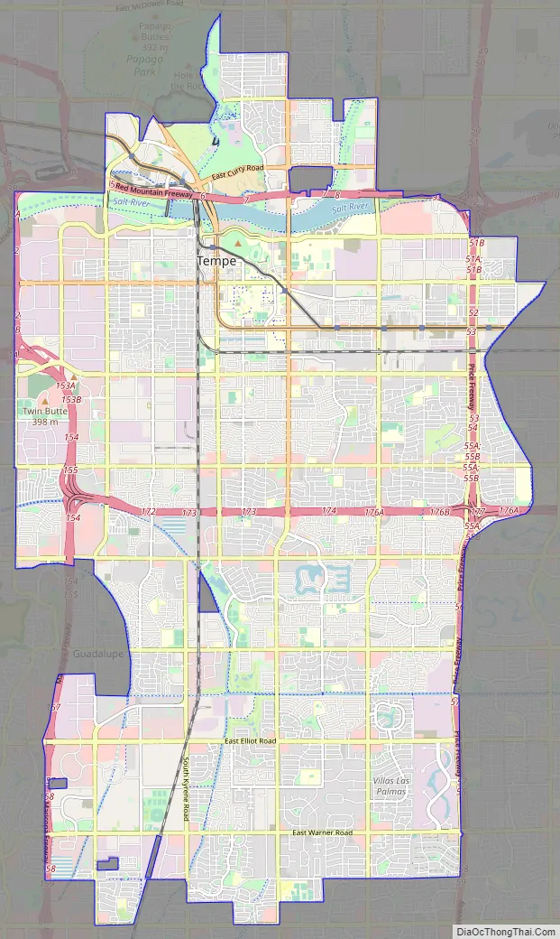
Tempe Road Map
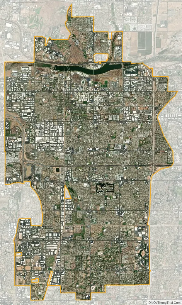
Tempe city Satellite Map
Geography
Tempe is an inner suburb, located between the core city of Phoenix and the rest of the East Valley. Due to this as well as being the home of the main campus of Arizona State University, Tempe has a fairly dense, urbanized development pattern in the northern part of the city especially in relation to the Valley Metro Line . Going south, development becomes less dense, consisting of single-family homes, strip malls and lower-density office parks.
The Salt River runs west through the northern part of Tempe; part of the river is dammed in two places to create Tempe Town Lake.
According to the United States Census Bureau, the landlocked city has a total area of 40.2 square miles (104 km), of which 40.1 square miles (104 km) is land and 0.1 square miles (0.26 km) is water. The total area is 0.32% water, including Tempe Town Lake. The city of Tempe is bordered by Mesa to the east, Scottsdale and the Salt River Pima–Maricopa Indian Community to the north, Phoenix and Guadalupe to the west, and Chandler to the south.
Tempe is generally flat, except for Tempe Butte or Hayden Butte (generally known as A-Mountain for Arizona State University’s “A” logo located on its south face), located next to Sun Devil Stadium, Twin Buttes and Bell Butte on the western edge of Tempe, and the buttes within Papago Park at northwest corner of Tempe. Elevation ranges from 1,140 feet (350 m) at Tempe Town Lake to 1,495 feet (456 m) atop Hayden Butte.
Climate
Tempe experiences a desert climate with a higher degree of diurnal temperature variation than neighboring Phoenix.
See also
Map of Arizona State and its subdivision: Map of other states:- Alabama
- Alaska
- Arizona
- Arkansas
- California
- Colorado
- Connecticut
- Delaware
- District of Columbia
- Florida
- Georgia
- Hawaii
- Idaho
- Illinois
- Indiana
- Iowa
- Kansas
- Kentucky
- Louisiana
- Maine
- Maryland
- Massachusetts
- Michigan
- Minnesota
- Mississippi
- Missouri
- Montana
- Nebraska
- Nevada
- New Hampshire
- New Jersey
- New Mexico
- New York
- North Carolina
- North Dakota
- Ohio
- Oklahoma
- Oregon
- Pennsylvania
- Rhode Island
- South Carolina
- South Dakota
- Tennessee
- Texas
- Utah
- Vermont
- Virginia
- Washington
- West Virginia
- Wisconsin
- Wyoming


