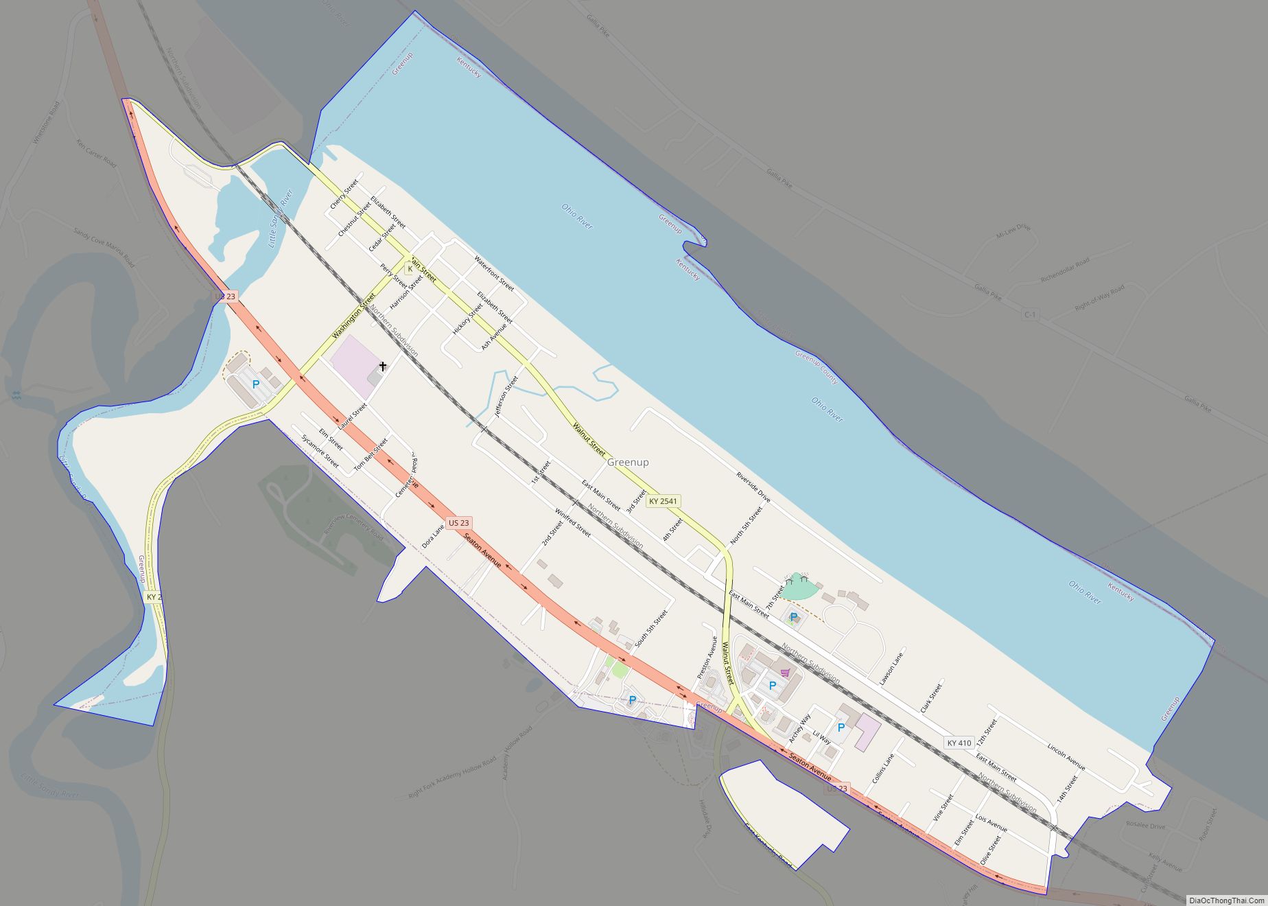
Map of Greenville city, Kentucky

Map of Greenville city, Kentucky

Greenville is a home rule-class city in Muhlenberg County, Kentucky, in the United States. It is the seat of its county. The population was 4,312 at the 2010 census. Greenville city overview: Name: Greenville city LSAD Code: 25 LSAD Description: city (suffix) State: Kentucky County: Muhlenberg County Incorporated: 1848 Elevation: 525 ft (160 m) Total Area: 5.27 sq mi … Read more

Map of Hardinsburg city, Kentucky

Map of Hardinsburg city, Kentucky

Hardinsburg is a home rule-class city in Breckinridge County, Kentucky, in the United States. It is the seat of its county. The population was 2,343 at the 2010 census. Hardinsburg was named after Captain William Hardin. Hardinsburg city overview: Name: Hardinsburg city LSAD Code: 25 LSAD Description: city (suffix) State: Kentucky County: Breckinridge County Founded: … Read more

Map of Hardin city, Kentucky

Map of Hardin city, Kentucky

Hardin is a home rule-class city in Marshall County, Kentucky, United States. The population was 580 at the 2020 census. Hardin city overview: Name: Hardin city LSAD Code: 25 LSAD Description: city (suffix) State: Kentucky County: Marshall County Elevation: 420 ft (130 m) Total Area: 0.70 sq mi (1.82 km²) Land Area: 0.70 sq mi (1.81 km²) Water Area: 0.00 sq mi (0.00 km²) Total Population: … Read more

Map of Hanson city

Map of Hanson city, Kentucky

Hanson is a home rule-class city in Hopkins County, Kentucky, in the United States. The population was 742 at the 2010 census, up from 625 at the 2000 census. The Hanson Historic District is located in the city. The companies that supply power to Hanson residents are Kentucky Utilities and Kenergy. Hanson city overview: Name: … Read more

Map of Harrodsburg city, Kentucky

Map of Harrodsburg city, Kentucky

Harrodsburg is a home rule-class city in Mercer County, Kentucky, United States. It is the seat of its county. The population was 9,064 at the 2020 census. Although Harrodsburg was formally established by the Virginia House of Burgesses after Boonesborough and was not incorporated by the Kentucky legislature until 1836, it was honored by President … Read more

Map of Harlan city, Kentucky

Map of Harlan city, Kentucky

Harlan is a home rule-class city in and the county seat of Harlan County, Kentucky, United States. The population was 1,745 at the 2010 census, down from 2,081 at the 2000 census. Harlan is one of three Kentucky county seats to share its name with its county, the others being Greenup and Henderson. Harlan city … Read more

Map of Hardyville CDP

Map of Hardyville CDP

Hardyville is a small unincorporated community and census-designated place (CDP) in Hart County, Kentucky, United States, located east of Munfordville on U.S. Route 31E. As of the 2010 census it had a population of 156. In the 2020 United States Census the population was 180. A post office was established in the community in 1868. … Read more

Map of Hazard city

Map of Hazard city, Kentucky

Hazard is a home rule-class city in, and the county seat of, Perry County, Kentucky, United States. The population was 5,263 at the 2020 Census. Hazard city overview: Name: Hazard city LSAD Code: 25 LSAD Description: city (suffix) State: Kentucky County: Perry County Incorporated: April 30, 1884 Elevation: 928 ft (283 m) Total Area: 7.60 sq mi (19.68 km²) Land … Read more

Map of Hawesville city

Map of Hawesville city

Hawesville is a home rule-class city on the south bank of the Ohio River in Hancock County, Kentucky, in the United States. It is the seat of its county. The population was 945 at the 2010 census. It is included in the Owensboro metropolitan area. Hawesville city overview: Name: Hawesville city LSAD Code: 25 LSAD … Read more

Map of Hartford city, Kentucky

Map of Hartford city, Kentucky

Hartford is a home rule-class city in Ohio County, Kentucky, in the United States. It is the seat of its county. The population was 2,668 at the 2020 census. The town slogan, “Home of 2,000 happy people and a few soreheads” welcomes visitors when entering the community. The Hartford, Kentucky website explains that ‘”soreheads’ are … Read more

Map of Hebron Estates city

Map of Hebron Estates city

Hebron Estates is a home rule-class city in Bullitt County, Kentucky, in the United States. The population was 1,087 at the 2010 census. Hebron Estates city overview: Name: Hebron Estates city LSAD Code: 25 LSAD Description: city (suffix) State: Kentucky County: Bullitt County Incorporated: 1984 Elevation: 515 ft (157 m) Total Area: 0.59 sq mi (1.53 km²) Land Area: 0.59 sq mi … Read more

Map of Hazel city

Map of Hazel city, Kentucky

Hazel is a home rule-class city in Calloway County, Kentucky, United States. The population was 410 at the 2010 census. Hazel city overview: Name: Hazel city LSAD Code: 25 LSAD Description: city (suffix) State: Kentucky County: Calloway County Incorporated: 1911 Elevation: 564 ft (172 m) Total Area: 0.35 sq mi (0.91 km²) Land Area: 0.35 sq mi (0.91 km²) Water Area: 0.00 sq mi (0.00 km²) … Read more