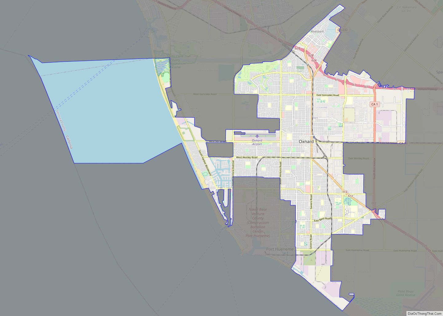
Oxnard (/ˈɒksnɑːrd/ (listen)) is a city in Ventura County, California, United States. On California’s South Coast, it is the most populous city in Ventura County and the 22nd-most-populous city in California. Incorporated in 1903, Oxnard lies approximately 60 miles (97 km) west of downtown Los Angeles and is part of the larger Greater Los Angeles area. ... Read more
Map of US Cities and Places
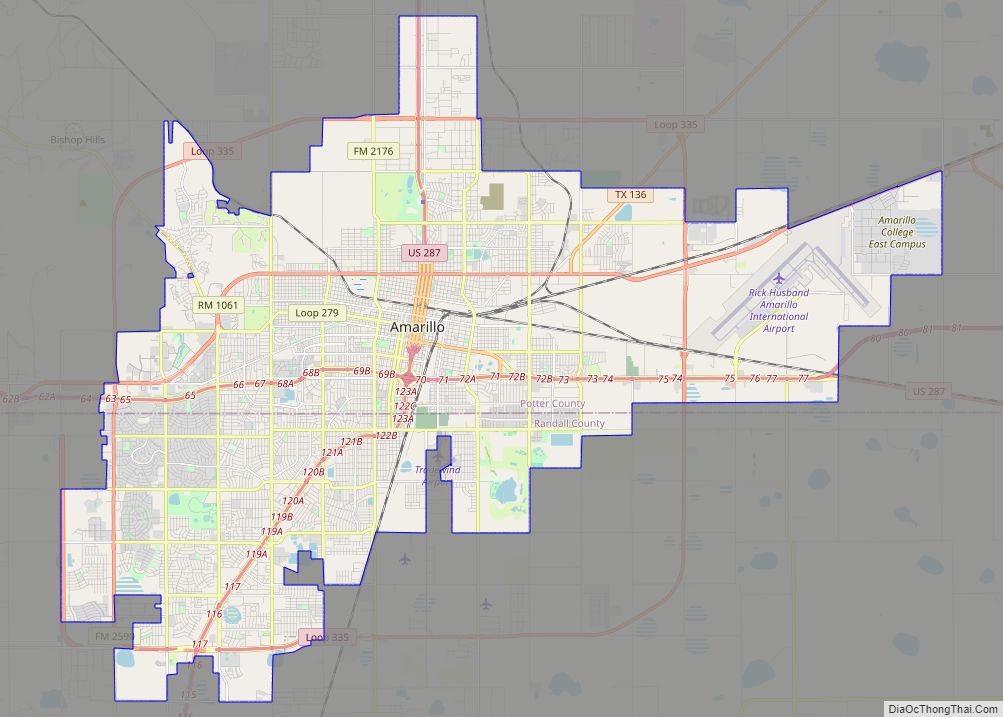
Amarillo (/ˌæməˈrɪloʊ/ AM-ə-RIL-oh; Spanish for “yellow”) is a city in the U.S. state of Texas and the seat of Potter County. It is the 14th-most populous city in Texas and the largest city in the Texas Panhandle. A portion of the city extends into Randall County. The estimated population of Amarillo was 200,393 as of ... Read more
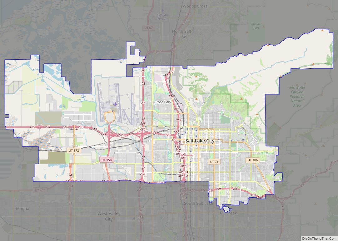
Salt Lake City, often shortened to Salt Lake, and colloquially called SLC, is the capital and most populous city of Utah, United States. It is the seat of Salt Lake County, the most populous county in Utah. With a population of 200,133 in 2020, the city is the core of the Salt Lake City metropolitan ... Read more
Birmingham city overview: Name: Birmingham city LSAD Code: 25 LSAD Description: city (suffix) State: Alabama County: Jefferson County, Shelby County Incorporated: December 19, 1871 Elevation: 597 ft (182 m) Land Area: 147.02 sq mi (380.77 km²) Water Area: 2.52 sq mi (6.53 km²) Population Density: 1,365.37/sq mi (527.17/km²) Area code: 205, 659 FIPS code: 0107000 GNISfeature ID: 2403868 Website: www.birminghamal.gov Discover the beauty of ... Read more
Montgomery is the capital city of the U.S. state of Alabama and the county seat of Montgomery County. Named for the Irish soldier Richard Montgomery, it stands beside the Alabama River, on the coastal Plain of the Gulf of Mexico. In the 2020 census, Montgomery’s population was 200,603. It is the second most populous city ... Read more
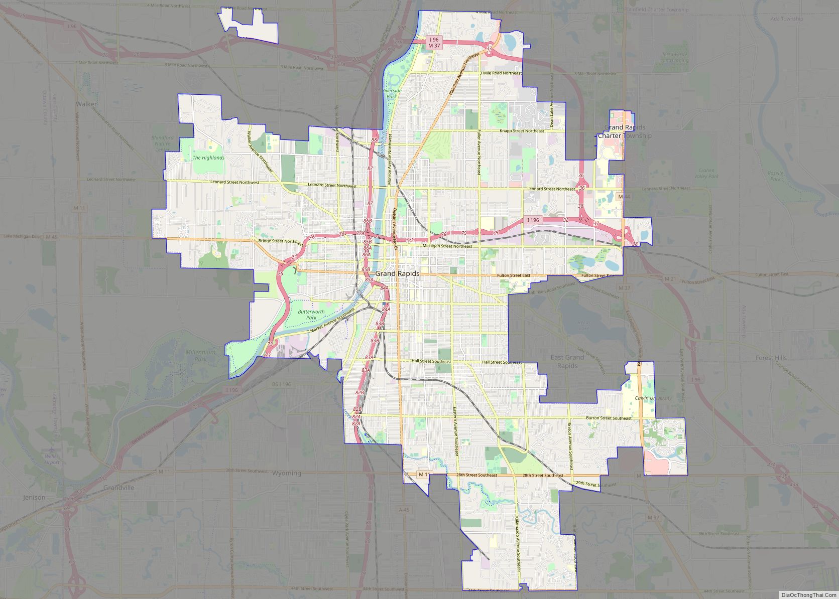
Grand Rapids is a city and county seat of Kent County in the U.S. state of Michigan. At the 2020 census, the city had a population of 198,917 which ranks it as the second most-populated city in the state after Detroit. Grand Rapids is the central city of the Grand Rapids metropolitan area, which has ... Read more
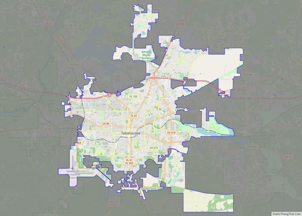
Tallahassee (/ˌtæləˈhæsi/ TAL-ə-HASS-ee) is the capital city of the U.S. state of Florida. It is the county seat and only incorporated municipality in Leon County. Tallahassee became the capital of Florida, then the Florida Territory, in 1824. In 2020, the population was 196,169, making it the eighth-largest city in the state of Florida. The population ... Read more
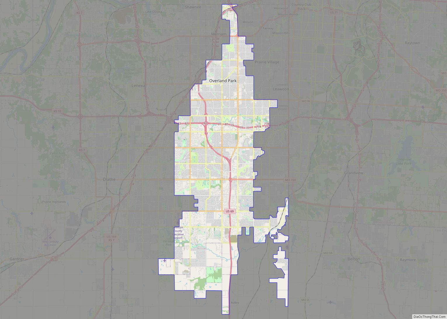
Overland Park (OH-vər-lend PARK) is a city in Johnson County, Kansas, United States, and the second-most populous city in the state of Kansas. It is one of four principal cities in the Kansas City metropolitan area and the most populous suburb of Kansas City, Missouri. As of the 2020 census, the population of the city ... Read more
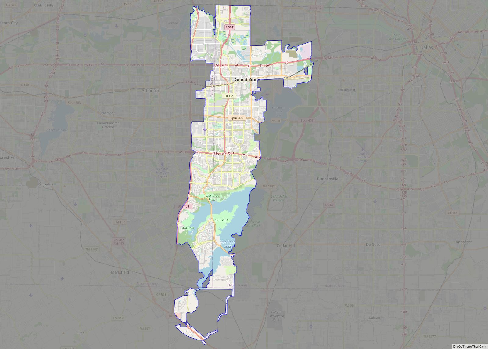
Grand Prairie is a city in Dallas, Tarrant, and Ellis counties of Texas, in the United States. It is part of the Mid-Cities region in the Dallas–Fort Worth metroplex. It had a population of 175,396 according to the 2010 census, making it the fifteenth most populous city in the state. Remaining the 15th-most populous city ... Read more
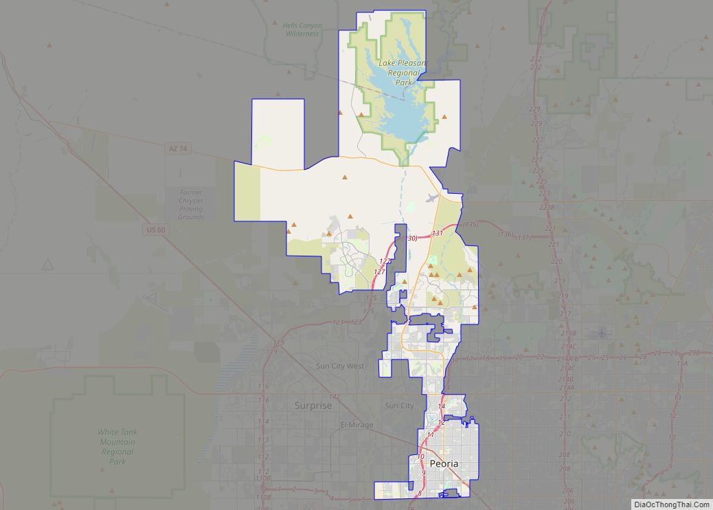
Peoria /piˈɔːriə/ is a city in Maricopa and Yavapai counties in the U.S. state of Arizona. Most of the city is located in Maricopa County, while a portion in the north is in Yavapai County. It is a major suburb of Phoenix. As of the 2020 census, the population of Peoria was 190,985, up from ... Read more
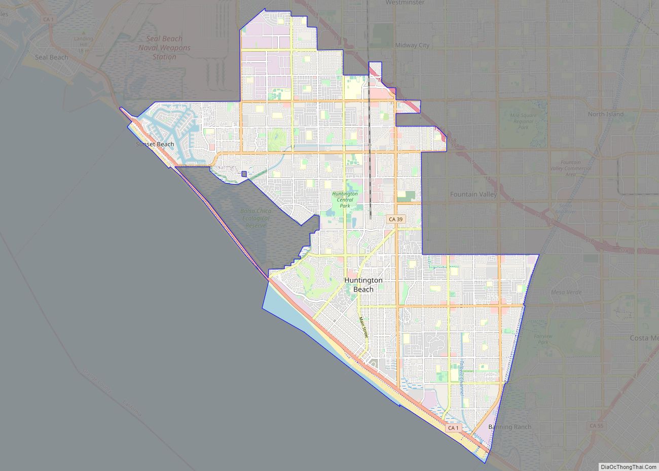
Huntington Beach is a seaside city in Orange County in Southern California, United States. The city is named after American businessman Henry E. Huntington. The population was 198,711 during the 2020 census, making it the fourth most populous city in Orange County, the most populous beach city in Orange County, and the seventh most populous ... Read more
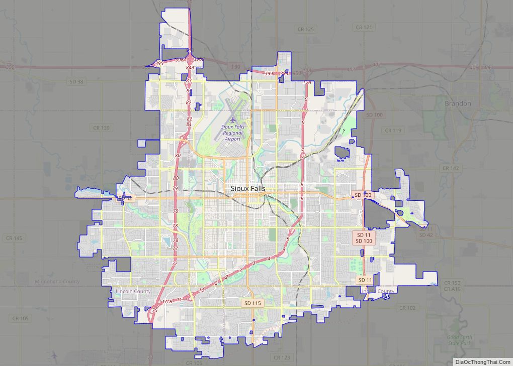
Sioux Falls (/ˌsuː ˈfɔːlz/) is the most populous city in the U.S. state of South Dakota and the 130th-most populous city in the United States. It is the county seat of Minnehaha County and also extends into Lincoln County to the south, which continues up to the Iowa state line. As of 2020, Sioux Falls ... Read more
