Amarillo (/ˌæməˈrɪloʊ/ AM-ə-RIL-oh; Spanish for “yellow”) is a city in the U.S. state of Texas and the seat of Potter County. It is the 14th-most populous city in Texas and the largest city in the Texas Panhandle. A portion of the city extends into Randall County. The estimated population of Amarillo was 200,393 as of April 1, 2020. The Amarillo-Pampa-Borger combined statistical area had an estimated population of 308,297 as of 2020.
The city of Amarillo, originally named Oneida, is situated in the Llano Estacado region. The availability of the railroad and freight service provided by the Fort Worth and Denver City Railroad contributed to the city’s growth as a cattle-marketing center in the late 19th century.
Amarillo was once the self-proclaimed “Helium Capital of the World” for having one of the country’s most productive helium fields. The city is also known as “The Yellow Rose of Texas” (as the city takes its name from the Spanish word for yellow), “Yellow City” for its name, and “Rotor City, USA” for its V-22 Osprey hybrid aircraft assembly plant. Amarillo operates one of the largest meat-packing areas in the United States. Pantex, the only nuclear weapons assembly and disassembly facility in the country, is also a major employer. The location of this facility also gave rise to the nickname “Bomb City”. The attractions Cadillac Ranch, and Big Texan Steak Ranch are located adjacent to Interstate 40. U.S. Highway 66 also passed through the city.
| Name: | Amarillo city |
|---|---|
| LSAD Code: | 25 |
| LSAD Description: | city (suffix) |
| State: | Texas |
| County: | Potter County, Randall County |
| Elevation: | 3,668 ft (1,118 m) |
| Land Area: | 102.30 sq mi (264.97 km²) |
| Water Area: | 1.56 sq mi (4.03 km²) |
| Population Density: | 1,948.81/sq mi (752.44/km²) |
| Area code: | 806 |
| FIPS code: | 4803000 |
| GNISfeature ID: | 1351066 |
| Website: | www.amarillo.gov |
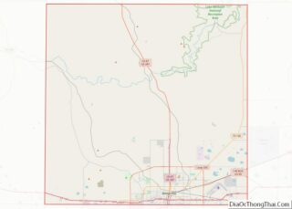
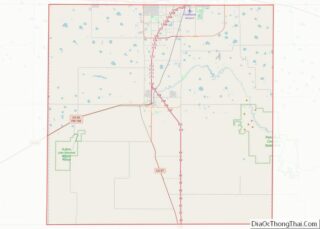
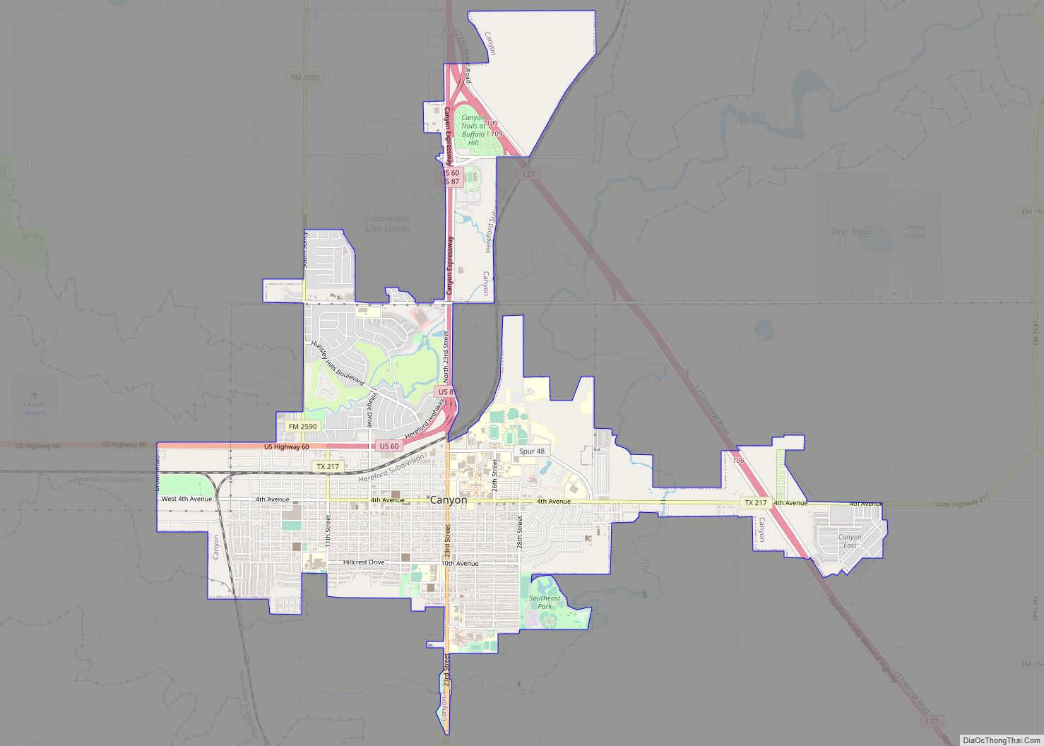
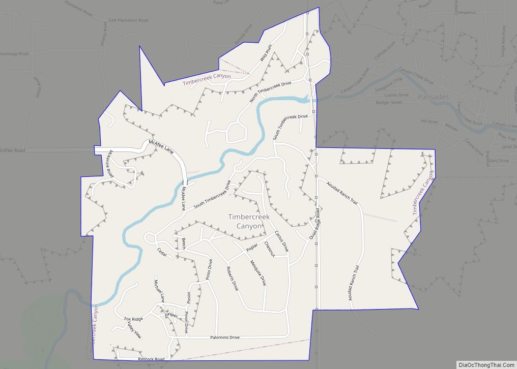
Online Interactive Map
Click on ![]() to view map in "full screen" mode.
to view map in "full screen" mode.
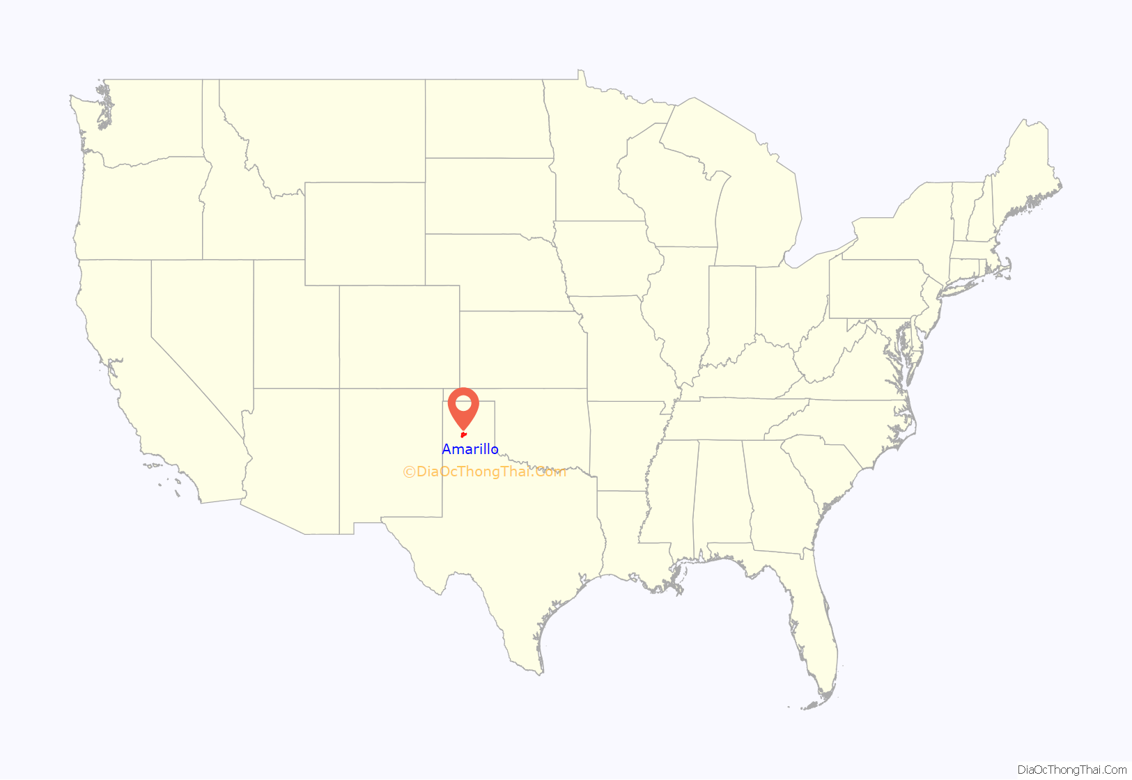
Amarillo location map. Where is Amarillo city?
History
During April 1887, J. I. Berry established a site for a town after he chose a well-watered section along the right-of-way of the Fort Worth and Denver City Railroad, which had begun building across the Texas Panhandle. Berry and Colorado City, Texas, merchants wanted to make their new town site the region’s main trading center. On August 30, 1887, Berry’s town site won the county seat election and was established in Potter County. Availability of the railroad and freight service after the county seat election made the town a fast-growing cattle-marketing center.
The settlement originally was called Oneida; it later changed its name to Amarillo, which probably derived from yellow wildflowers that were plentiful during the spring and summer or the nearby Amarillo Lake and Amarillo Creek, named in turn for the yellow soil along their banks and shores (Amarillo is the Spanish word for the color yellow). Early residents originally pronounced the city’s name more similar to the Spanish pronunciation /ˌɑːməˈriːjoʊ/ ah-mə-REE-yoh, which was later displaced by the current pronunciation.
On June 19, 1888, Henry B. Sanborn, who is given credit as the “Father of Amarillo”, and his business partner Joseph F. Glidden began buying land to the east to move Amarillo after arguing that Berry’s site was on low ground and would flood during rainstorms. Sanborn also offered to trade lots in the new location to businesses in the original city’s site and help with the expense of moving to new buildings. His incentives gradually won over people, who moved their businesses to Polk Street in the new commercial district. Heavy rains almost flooded Berry’s part of the town in 1889, prompting more people to move to Sanborn’s location. This eventually led to another county seat election making Sanborn’s town the new county seat in 1893.
By the late 1890s, Amarillo had emerged as one of the world’s busiest cattle-shipping points, and its population grew significantly. The city became a grain elevator, milling, and feed-manufacturing center after an increase in production of wheat and small grains during the early 1900s. Discovery of natural gas in 1918 and oil three years later brought oil and gas companies to the Amarillo area.
The United States government bought the Cliffside Gas Field with high helium content in 1927 and the Federal Bureau of Mines began operating the Amarillo Helium plant two years later. The plant was the sole producer of commercial helium in the world for a number of years. The U.S. National Helium Reserve is stored in the Bush Dome Reservoir at the Cliffside facility.
Following the lead of the Fort Worth and Denver City Railroad, the Atchison, Topeka and Santa Fe Railway and Chicago, Rock Island and Pacific Railroad established services to and from Amarillo. Each of these three carriers maintained substantial freight and passenger depots and repair facilities in the city through most of the 20th century and were major employers within the community.
Amarillo was hit by the Dust Bowl and entered an economic depression. U.S. Routes 60, 87, 287, and 66 intersected at Amarillo, making it a major tourist stop with numerous motels, restaurants, and curio shops. World War II led the establishment of Amarillo Army Air Field in east Amarillo and the nearby Pantex Army Ordnance Plant, which produced bombs and ammunition. After the end of the war, both of the facilities were closed. The Pantex Plant was reopened in 1950 and produced nuclear weapons throughout the Cold War.
In 1949, a deadly F4 tornado devastated much of Amarillo, shortly after nightfall on May 15, tearing through the south and east sides of the city, killing seven people, and injuring more than 80 others. The tornado touched down southwest of Amarillo, near the town of Hereford, then tracked its way northward, on a collision course with Amarillo. The tornado, shortly after 8 pm, ripped through Amarillo’s most densely populated areas, demolishing almost half of the city, causing catastrophic damage and loss of life.
In 1951, the army air base was reactivated as Amarillo Air Force Base and expanded to accommodate a Strategic Air Command B-52 Stratofortress wing. The arrival of servicemen and their families ended the city’s depression. Between 1950 and 1960, Amarillo’s population grew from 74,443 to 137,969. However, the closure of Amarillo Air Force Base on December 31, 1968, contributed to a decrease in population to 127,010 by 1970.
In 1970, the U.S. Census Bureau reported Amarillo’s population as 6.1% Hispanic and 88.5% non-Hispanic white. In the 1980s, ASARCO, Iowa Beef Processors (present day Tyson Foods), Owens-Corning, and Weyerhaeuser built plants at Amarillo. The Eastridge neighborhood houses many immigrants from countries such as Vietnam, Laos, and Burma. Many of them found employment at the nearby Iowa Beef Processors plant. The following decade, Amarillo’s city limits encompassed 60 square miles (155 km) in Potter and Randall Counties. Interstate 27 highway connecting Lubbock to Amarillo was built mostly during the 1980s.
In May 1982, a strong F3 tornado struck Amarillo’s western suburbs, devastating parts of Dawn, and Bushland. No fatalities were reported.
Amarillo has celebrated National CleanUp Day on the third Saturday of September annually since 2018.
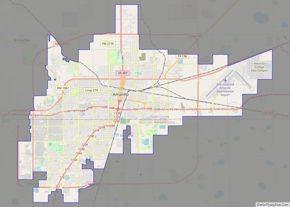
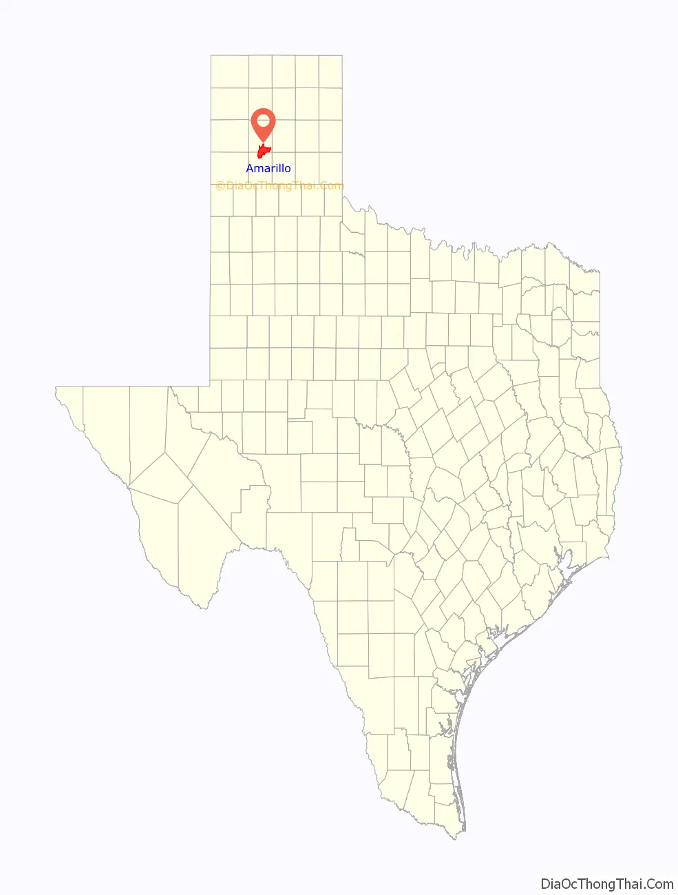
Amarillo Road Map
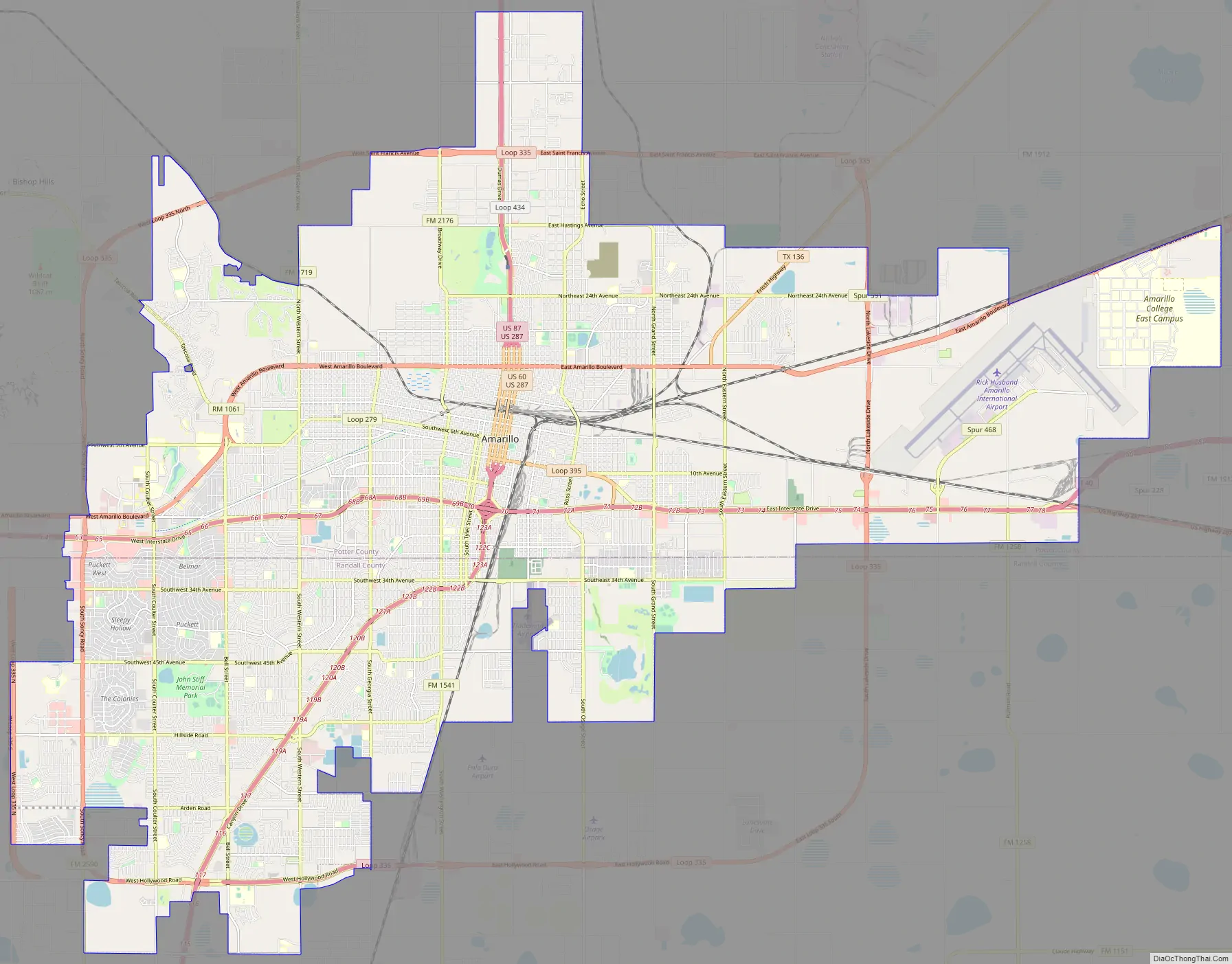
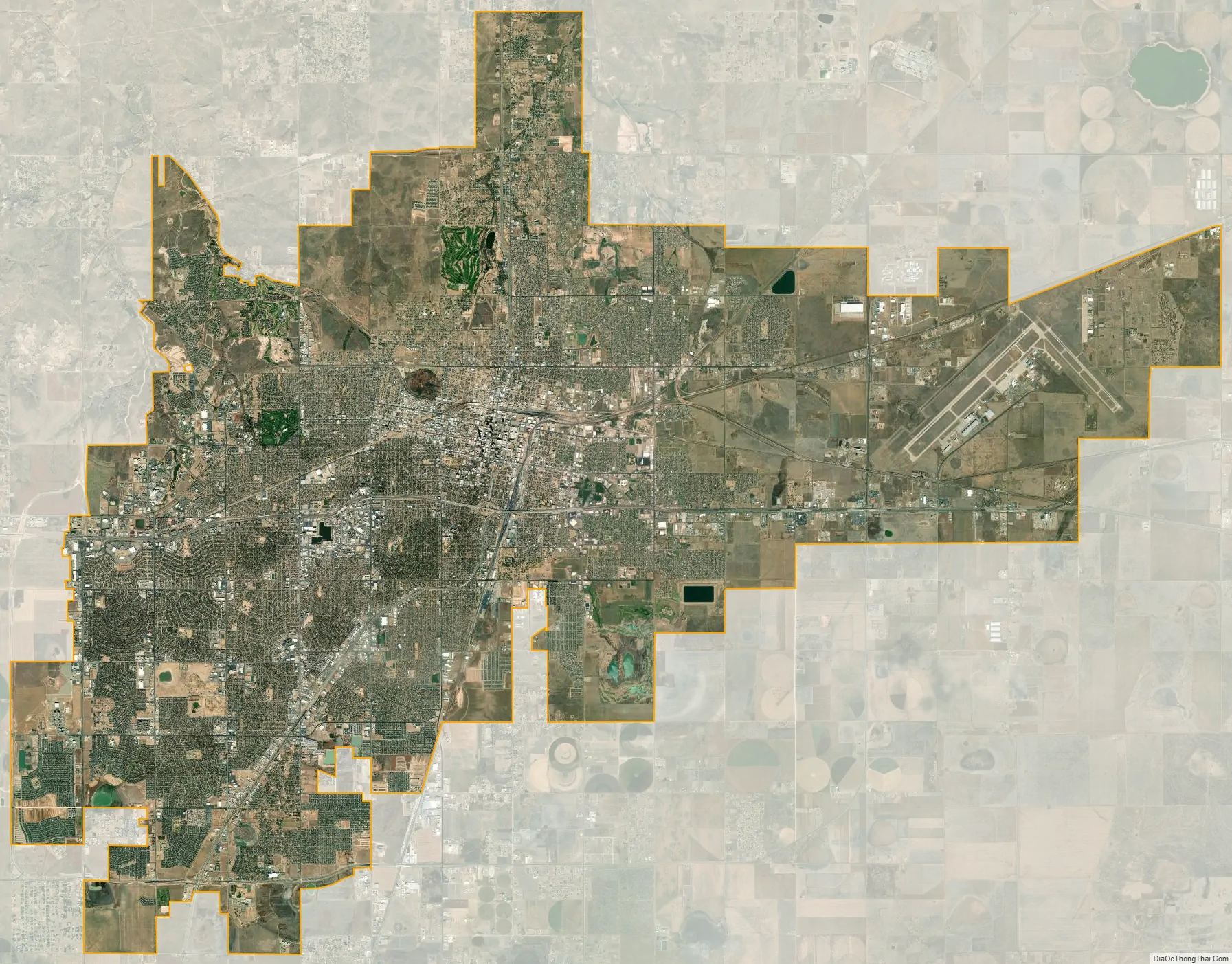
Amarillo city Satellite Map
Geography
Amarillo is located near the middle of the Texas Panhandle. It does not share similar weather characteristics with south and east Texas. It is situated in the grasslands of the Texas Panhandle, and is surrounded by dense prairie. Amarillo is infamous for its unpredictable weather patterns, with massive temperature changes on a daily basis, raging winds, devastating hailstorms and “northers”, long periods of drought, late frosts, spring tornadoes, dust-storms, and floods.
Though urbanization, agricultural farming, and construction have occurred over the last century in and around Amarillo, the native grasslands that dominate this region have remained largely untouched. Amarillo sits closer in proximity to the Oklahoma, New Mexico and Colorado state capitals than it does to Austin. The region’s surface is relatively flat and has little soil drainage. Due to the lack of developed drainage, much of the rainfall either evaporates, infiltrates into the ground, or accumulates in playa lakes. According to the United States Census Bureau, the city has a total area of 90.3 square miles (234 km), with 89.9 sq mi (233 km) of it land and 0.4 sq mi (1.0 km) of it (0.50%) covered by water. The Amarillo metropolitan area covers four counties: Armstrong, Carson, Potter, and Randall.
About 20 miles (32 km) northeast of Amarillo is the Canadian River, which divides the Western High Plains ecological region. The southern divide of the Western High Plains is the Llano Estacado or Staked Plains geographical region. The river is dammed to form Lake Meredith, a major source of drinking water in the Texas Panhandle region. The city is situated near the Panhandle Field, in a productive gas and oil area, covering 200,000 acres (81,000 ha) in Hartley, Potter, Moore, Hutchinson, Carson, Gray, Wheeler, and Collingsworth Counties. The Potter County portion had the nation’s largest natural gas reserve. Approximately 25 miles (40 km) south of Amarillo is the canyon system, Palo Duro Canyon. The tallest peak is reported to be 2,500 feet (760 m) underground in northeast Potter County under the Alibates Flint Quarries National Monument.
Cityscape
Most of Amarillo’s population growth and commercial development are occurring in the southern and northwestern parts of the city. Similar to many towns in the Texas Panhandle, the city’s downtown has suffered economic deterioration throughout the years. To help revitalize it, the organization Center City of Amarillo was formed to establish partnerships with groups who have a large presence in the city. Since its conception in the 1990s, Center City has sponsored public art projects and started block parties in the downtown area.
The 31-story FirstBank Southwest Tower was opened in Amarillo’s downtown in 1971. Completed in the same year as the FirstBank Southwest Tower, the Amarillo National Bank Plaza One building houses the headquarters of Amarillo National Bank, the city’s largest financial institution. The Santa Fe Building, completed in 1930, was the regional offices of the Atchison, Topeka and Santa Fe Railway, but was vacant for several years until Potter County bought the building for $426,000 in 1995 to gain new office spaces.
Amarillo’s historic homes and buildings listed on the National Register of Historic Places reflect the economic growth from around 1900 to the start of World War II. Polk Street contains many of the city’s historic downtown buildings and homes. The large historic homes on this street were built close to downtown, and homes were located on the west side of the street as a symbol of status because they would be greeted with the sunrise every morning.
The city of Amarillo’s Parks and Recreation Department operates over 50 municipal parks, including a skatepark west of the city. Amarillo’s largest parks are Medical Park, Thompson Memorial Park, and Memorial Park, near Amarillo College’s Washington Street Campus. From 1978 to 2002, the Junior League of Amarillo and the city of Amarillo’s Parks and Recreation Department co-sponsored Funfest, a family entertainment festival, benefiting the city parks and the league’s Community Chest Trust Fund. Funfest was held in Thompson Memorial Park during Memorial Day weekend. At the time, the festival included Amarillo’s only 42.2-kilometre (26.2 mi) foot race, the Funfest Marathon.
Tallest buildings
Climate
Like most of the Texas Panhandle, Amarillo has a temperate semi-arid climate (Köppen climate classification BSk). Both the city and most of the county as a whole lie in USDA Plant Hardiness Zone 7a. Amarillo is characterized by a winter season featuring large diurnal temperature variation, great day-to-day variability, possible sudden and/or severe Arctic air outbreaks (in Texas, called “blue northers”), possible blizzards and hot summers with generally low humidity. The average annual precipitation is 20.4 inches or 520 millimetres. Much of Amarillo’s precipitation falls during heavy convective showers and thunderstorms during the late spring and summer months.
According to ‘Cities Ranked and Rated’ (Bert Sperling and Peter Sander), Amarillo averages 48 days per year during which thunder and lightning is reported. This is above the national average. These storms can be severe: Amarillo and the Texas Panhandle are situated in the western portion of “Tornado Alley” and are prone to severe weather events, occurring primarily between April and July. Severe thunderstorms can produce damaging straight-line winds, large hail, tornadoes, and flash flooding. Amarillo is no stranger to devastating tornadoes. Tornadoes have occurred in and around the city in 1968, 1970, 1982, 1986, 2001, 2007, and most recently in 2013, 2015 and 2016. The strongest tornado to ever hit Amarillo was a deadly F4 tornado that struck the city in the night time hours of May 15, 1949. Amarillo suffered a direct hit, causing catastrophic damage and loss of life in Amarillo’s most densely populated areas. The tornado devastated the south and east sides of the city, killing 7 people, and injuring more than 80 others. The monthly daily average temperature ranges from 37.0 °F (2.8 °C) in January to 78.3 °F (25.7 °C) in July. Sunny weather prevails year-round, with nearly 3300 hours of bright sunshine annually. The National Weather Service in Amarillo forecasts and provides climatic data for the city.
Extreme temperatures range from −16 °F (−26.7 °C) on February 12, 1899 to 111 °F (43.9 °C) on June 26, 2011, but lows do not typically dip to 0 °F or −17.8 °C in most years, while highs above 100 °F or 37.8 °C are seen on 4.7 days on average. On average, there are 5.9 days of lows at or below 10 °F or −12.2 °C, 8.8 days where the temperature fails to rise above freezing, and 61 days of 90 °F (32.2 °C)+ highs. Unlike in the Rio Grande Valley or eastern portions of Texas, days where the low does not fall below 70 °F or 21.1 °C are relatively rare, due to the aridity and elevation. Blizzards occur occasionally, but snowfall is typically light, averaging nearly 18 inches or 46 centimetres seasonally and the median figure is near 10 inches or 25 centimetres. Amarillo is also recorded as the windiest city in the U.S. by the Weather Channel.
- ^ Mean monthly maxima and minima (i.e. the expected highest and lowest temperature readings at any point during the year or given month) calculated based on data at said location from 1981 to 2010.
See also
Map of Texas State and its subdivision:- Anderson
- Andrews
- Angelina
- Aransas
- Archer
- Armstrong
- Atascosa
- Austin
- Bailey
- Bandera
- Bastrop
- Baylor
- Bee
- Bell
- Bexar
- Blanco
- Borden
- Bosque
- Bowie
- Brazoria
- Brazos
- Brewster
- Briscoe
- Brooks
- Brown
- Burleson
- Burnet
- Caldwell
- Calhoun
- Callahan
- Cameron
- Camp
- Carson
- Cass
- Castro
- Chambers
- Cherokee
- Childress
- Clay
- Cochran
- Coke
- Coleman
- Collin
- Collingsworth
- Colorado
- Comal
- Comanche
- Concho
- Cooke
- Coryell
- Cottle
- Crane
- Crockett
- Crosby
- Culberson
- Dallam
- Dallas
- Dawson
- Deaf Smith
- Delta
- Denton
- Dewitt
- Dickens
- Dimmit
- Donley
- Duval
- Eastland
- Ector
- Edwards
- El Paso
- Ellis
- Erath
- Falls
- Fannin
- Fayette
- Fisher
- Floyd
- Foard
- Fort Bend
- Franklin
- Freestone
- Frio
- Gaines
- Galveston
- Garza
- Gillespie
- Glasscock
- Goliad
- Gonzales
- Gray
- Grayson
- Gregg
- Grimes
- Guadalupe
- Hale
- Hall
- Hamilton
- Hansford
- Hardeman
- Hardin
- Harris
- Harrison
- Hartley
- Haskell
- Hays
- Hemphill
- Henderson
- Hidalgo
- Hill
- Hockley
- Hood
- Hopkins
- Houston
- Howard
- Hudspeth
- Hunt
- Hutchinson
- Irion
- Jack
- Jackson
- Jasper
- Jeff Davis
- Jefferson
- Jim Hogg
- Jim Wells
- Johnson
- Jones
- Karnes
- Kaufman
- Kendall
- Kenedy
- Kent
- Kerr
- Kimble
- King
- Kinney
- Kleberg
- Knox
- La Salle
- Lamar
- Lamb
- Lampasas
- Lavaca
- Lee
- Leon
- Liberty
- Limestone
- Lipscomb
- Live Oak
- Llano
- Loving
- Lubbock
- Lynn
- Madison
- Marion
- Martin
- Mason
- Matagorda
- Maverick
- McCulloch
- McLennan
- McMullen
- Medina
- Menard
- Midland
- Milam
- Mills
- Mitchell
- Montague
- Montgomery
- Moore
- Morris
- Motley
- Nacogdoches
- Navarro
- Newton
- Nolan
- Nueces
- Ochiltree
- Oldham
- Orange
- Palo Pinto
- Panola
- Parker
- Parmer
- Pecos
- Polk
- Potter
- Presidio
- Rains
- Randall
- Reagan
- Real
- Red River
- Reeves
- Refugio
- Roberts
- Robertson
- Rockwall
- Runnels
- Rusk
- Sabine
- San Augustine
- San Jacinto
- San Patricio
- San Saba
- Schleicher
- Scurry
- Shackelford
- Shelby
- Sherman
- Smith
- Somervell
- Starr
- Stephens
- Sterling
- Stonewall
- Sutton
- Swisher
- Tarrant
- Taylor
- Terrell
- Terry
- Throckmorton
- Titus
- Tom Green
- Travis
- Trinity
- Tyler
- Upshur
- Upton
- Uvalde
- Val Verde
- Van Zandt
- Victoria
- Walker
- Waller
- Ward
- Washington
- Webb
- Wharton
- Wheeler
- Wichita
- Wilbarger
- Willacy
- Williamson
- Wilson
- Winkler
- Wise
- Wood
- Yoakum
- Young
- Zapata
- Zavala
- Alabama
- Alaska
- Arizona
- Arkansas
- California
- Colorado
- Connecticut
- Delaware
- District of Columbia
- Florida
- Georgia
- Hawaii
- Idaho
- Illinois
- Indiana
- Iowa
- Kansas
- Kentucky
- Louisiana
- Maine
- Maryland
- Massachusetts
- Michigan
- Minnesota
- Mississippi
- Missouri
- Montana
- Nebraska
- Nevada
- New Hampshire
- New Jersey
- New Mexico
- New York
- North Carolina
- North Dakota
- Ohio
- Oklahoma
- Oregon
- Pennsylvania
- Rhode Island
- South Carolina
- South Dakota
- Tennessee
- Texas
- Utah
- Vermont
- Virginia
- Washington
- West Virginia
- Wisconsin
- Wyoming