Overland Park (OH-vər-lend PARK) is a city in Johnson County, Kansas, United States, and the second-most populous city in the state of Kansas. It is one of four principal cities in the Kansas City metropolitan area and the most populous suburb of Kansas City, Missouri. As of the 2020 census, the population of the city was 197,238.
| Name: | Overland Park city |
|---|---|
| LSAD Code: | 25 |
| LSAD Description: | city (suffix) |
| State: | Kansas |
| County: | Johnson County |
| Incorporated: | 1960 |
| Elevation: | 1,083 ft (330 m) |
| Total Area: | 75.64 sq mi (195.91 km²) |
| Land Area: | 75.18 sq mi (194.72 km²) |
| Water Area: | 0.46 sq mi (1.19 km²) |
| Total Population: | 197,238 |
| Population Density: | 2,600/sq mi (1,000/km²) |
| Area code: | 913 |
| FIPS code: | 2053775 |
| Website: | opkansas.org |
Online Interactive Map
Click on ![]() to view map in "full screen" mode.
to view map in "full screen" mode.
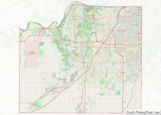
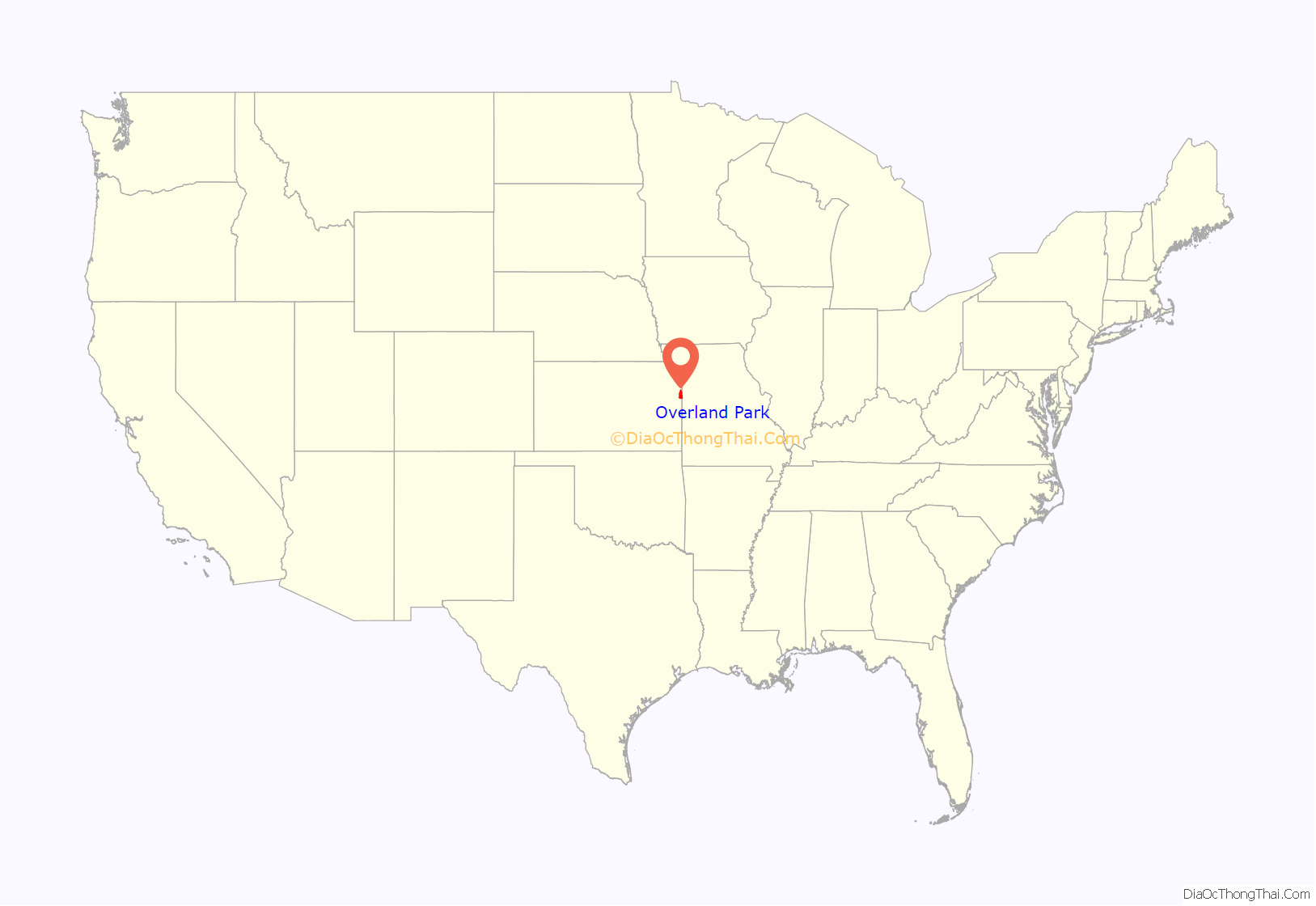
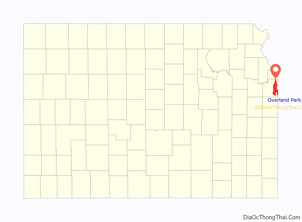
Overland Park location map. Where is Overland Park city?
History
In 1905, William B. Strang Jr. arrived and began to plot subdivisions along an old military roadway, which later became the city’s principal thoroughfare. He developed large portions of what would later become downtown Overland Park.
On May 20, 1960, Overland Park was officially incorporated as a “city of first class”, with a population of 28,085. Less than thirty years later, the population had nearly quadrupled to 111,790 in 1990, increasing to 173,250 as of the 2010 census. Overland Park officially became the second largest city in the state, following Wichita, Kansas, after passing Kansas City, Kansas in the early 2000s.
Population growth in the city can mainly be attributed to the traditional greenfield suburban development, appreciated on the city’s annexation map. Overland Park’s last annexation attempt, in 2008, garnered widespread news coverage after massive outcry from affected residents. Overland Park now has a combined land area of 75.37 square miles (195.21 km) and spans nearly the full North-South length of Johnson County. Since the expansion of Overland Park, state legislators have amended laws governing annexations to require a majority vote of affected residents in all future annexations over 40 acres (0.16 km).
On April 13, 2014, a pair of shootings committed by a lone gunman occurred at the local Jewish Community Center of Greater Kansas City and Village Shalom, a local Jewish retirement community. A total of three people were killed in both shootings. The suspected gunman, described as a man in his seventies, later identified as Neo-Nazi Frazier Glenn Miller, Jr., was taken into custody.
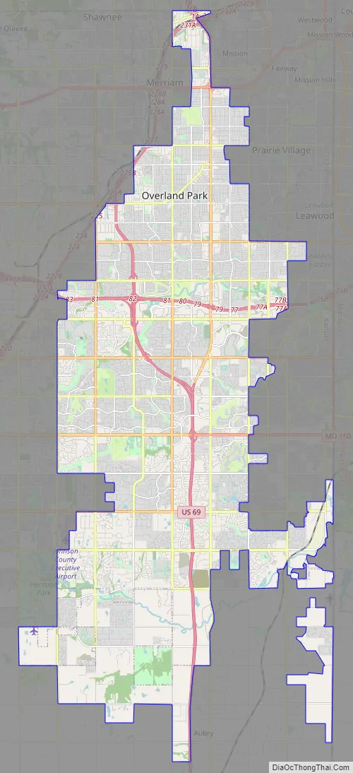
Overland Park Road Map
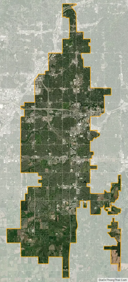
Overland Park city Satellite Map
Geography
Overland Park is located in northeastern Kansas at the junction of Interstate 435 and U.S. Route 69 immediately east of Olathe, the county seat. The city center is roughly 13 miles (21 km) south-southwest of downtown Kansas City, Missouri.
The city lies on the northern edge of the Osage Plains a few miles south of the Kansas River. One of the river’s tributaries, Turkey Creek, flows northeast through the extreme northern part of the city. South of Turkey Creek, the majority of the city lies in the watershed of the Blue River. Several of the river’s tributaries run east-northeast across the city; from north to south, these include Indian Creek, Tomahawk Creek, and Negro Creek. In the far southern part of the city, two more tributaries, Coffee Creek and Wolf Creek, join to form the main stem of the Blue River itself.
According to the United States Census Bureau, the city has a total area of 75.37 square miles (195.21 km) of which 74.84 square miles (193.83 km) is land and 0.53 square mile (1.38 km) is water.
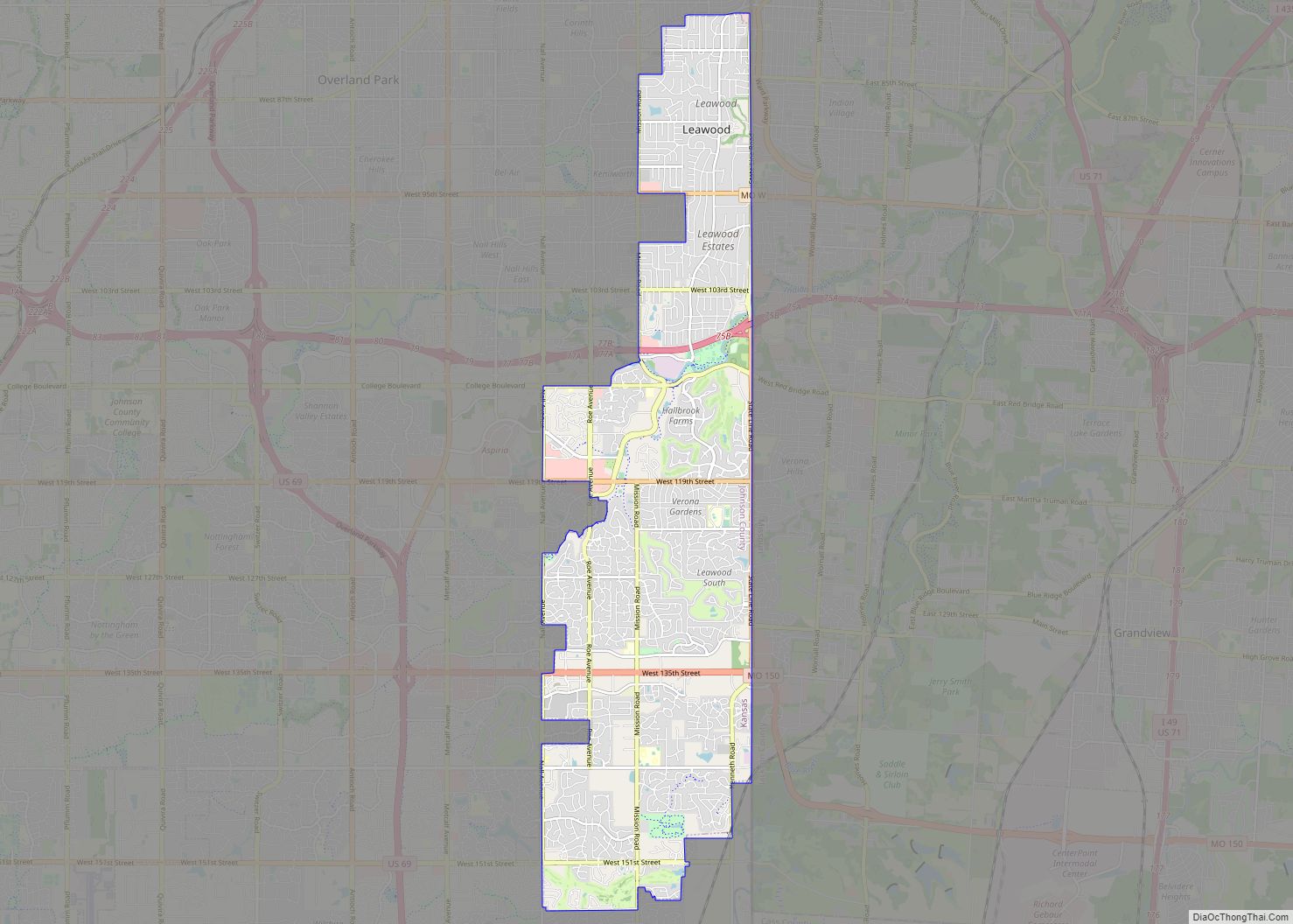
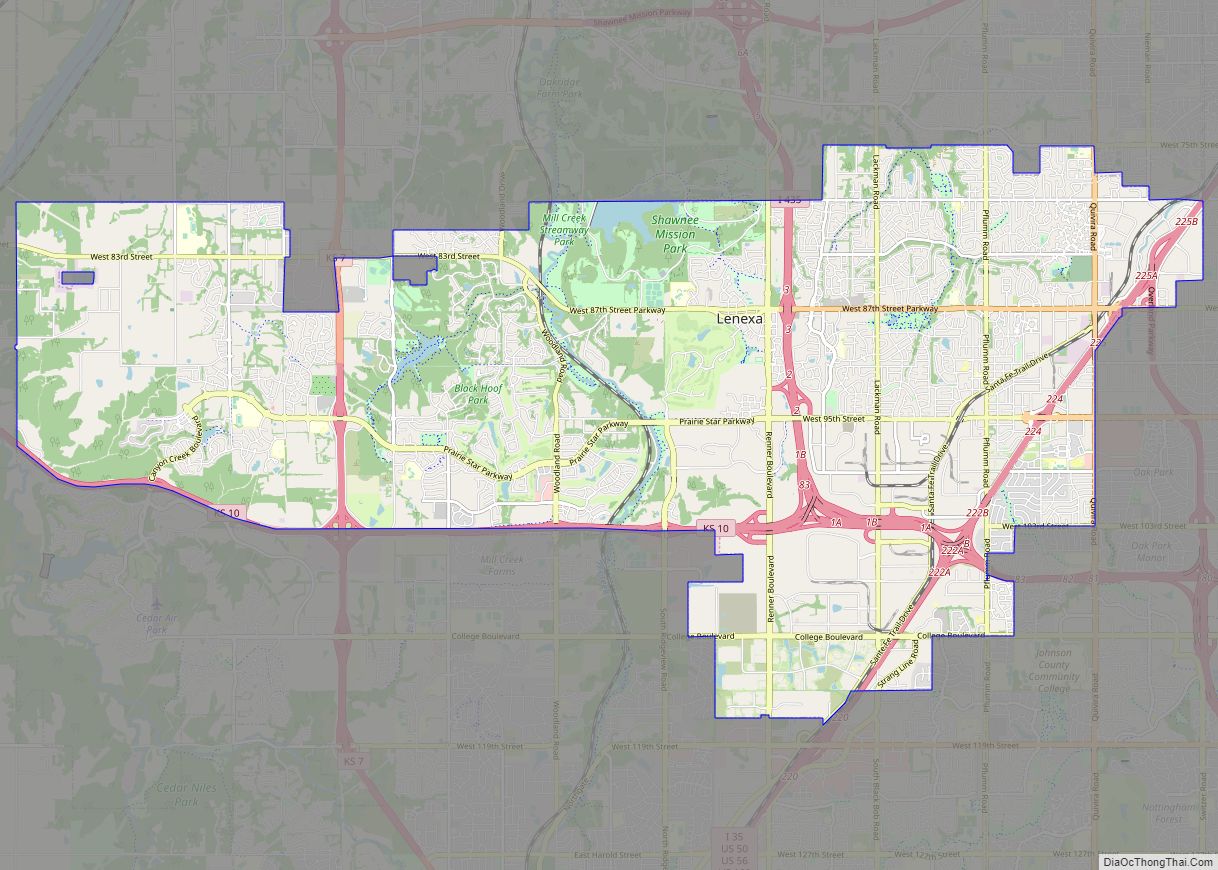
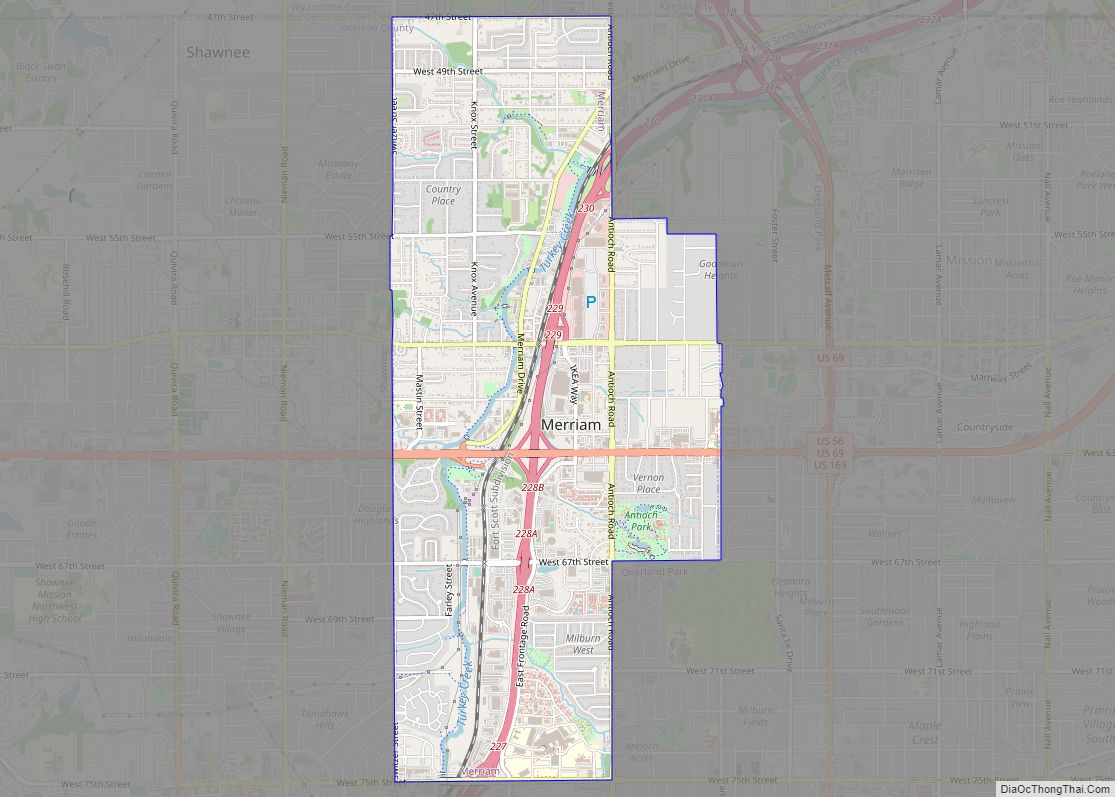
Overland Park is a principal city of the Kansas City metropolitan area, and it borders other communities on all sides. These include Kansas City, Kansas, to the north, Mission and Prairie Village to the northeast, Leawood to the east, Stilwell to the south, Olathe and Lenexa to the west, and Shawnee and Merriam to the northwest. Most of Overland Park, specifically the part of it lying north of 159th Street, lies within the area of Johnson County referred to as Shawnee Mission.
Climate
Overland Park lies in the transition zone between North America’s humid subtropical climate and humid continental climate zones, typically experiencing hot, humid summers and cold, dry winters.
Surrounding cities
See also
Map of Kansas State and its subdivision:- Allen
- Anderson
- Atchison
- Barber
- Barton
- Bourbon
- Brown
- Butler
- Chase
- Chautauqua
- Cherokee
- Cheyenne
- Clark
- Clay
- Cloud
- Coffey
- Comanche
- Cowley
- Crawford
- Decatur
- Dickinson
- Doniphan
- Douglas
- Edwards
- Elk
- Ellis
- Ellsworth
- Finney
- Ford
- Franklin
- Geary
- Gove
- Graham
- Grant
- Gray
- Greeley
- Greenwood
- Hamilton
- Harper
- Harvey
- Haskell
- Hodgeman
- Jackson
- Jefferson
- Jewell
- Johnson
- Kearny
- Kingman
- Kiowa
- Labette
- Lane
- Leavenworth
- Lincoln
- Linn
- Logan
- Lyon
- Marion
- Marshall
- McPherson
- Meade
- Miami
- Mitchell
- Montgomery
- Morris
- Morton
- Nemaha
- Neosho
- Ness
- Norton
- Osage
- Osborne
- Ottawa
- Pawnee
- Phillips
- Pottawatomie
- Pratt
- Rawlins
- Reno
- Republic
- Rice
- Riley
- Rooks
- Rush
- Russell
- Saline
- Scott
- Sedgwick
- Seward
- Shawnee
- Sheridan
- Sherman
- Smith
- Stafford
- Stanton
- Stevens
- Sumner
- Thomas
- Trego
- Wabaunsee
- Wallace
- Washington
- Wichita
- Wilson
- Woodson
- Wyandotte
- Alabama
- Alaska
- Arizona
- Arkansas
- California
- Colorado
- Connecticut
- Delaware
- District of Columbia
- Florida
- Georgia
- Hawaii
- Idaho
- Illinois
- Indiana
- Iowa
- Kansas
- Kentucky
- Louisiana
- Maine
- Maryland
- Massachusetts
- Michigan
- Minnesota
- Mississippi
- Missouri
- Montana
- Nebraska
- Nevada
- New Hampshire
- New Jersey
- New Mexico
- New York
- North Carolina
- North Dakota
- Ohio
- Oklahoma
- Oregon
- Pennsylvania
- Rhode Island
- South Carolina
- South Dakota
- Tennessee
- Texas
- Utah
- Vermont
- Virginia
- Washington
- West Virginia
- Wisconsin
- Wyoming