Oxnard (/ˈɒksnɑːrd/ (listen)) is a city in Ventura County, California, United States. On California’s South Coast, it is the most populous city in Ventura County and the 22nd-most-populous city in California. Incorporated in 1903, Oxnard lies approximately 60 miles (97 km) west of downtown Los Angeles and is part of the larger Greater Los Angeles area.
It is at the western edge of the fertile Oxnard Plain, adjacent to agricultural fields with strawberries, lima beans and other vegetable crops. Oxnard is also a major transportation hub in Southern California, with Amtrak, Union Pacific, Metrolink, Greyhound, and Intercalifornias stopping there. It also has a small regional airport, Oxnard Airport (OXR). The town also has significant connections to the nearby oil fields Oxnard Oil Field and the West Montalvo Oil Field. The high density of oil, industry and agricultural activities around the city, have led to several environmental issues.
Oxnard’s population was 202,063 in 2020, and is largely Latino. It is the most populous city in the Oxnard–Thousand Oaks–Ventura, CA Metropolitan Statistical Area.
| Name: | Oxnard city |
|---|---|
| LSAD Code: | 25 |
| LSAD Description: | city (suffix) |
| State: | California |
| County: | Ventura County |
| Incorporated: | June 30, 1903 |
| Elevation: | 52 ft (16 m) |
| Land Area: | 26.53 sq mi (68.70 km²) |
| Water Area: | 12.62 sq mi (32.68 km²) 31.41% |
| Population Density: | 7,616.40/sq mi (2,940.71/km²) |
| FIPS code: | 0654652 |
| Website: | www.oxnard.org |
Online Interactive Map
Click on ![]() to view map in "full screen" mode.
to view map in "full screen" mode.
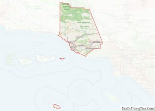
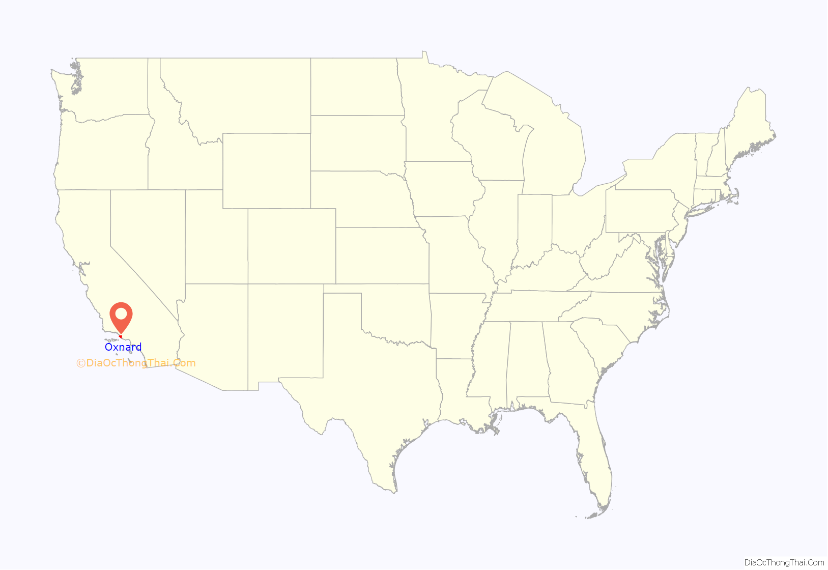
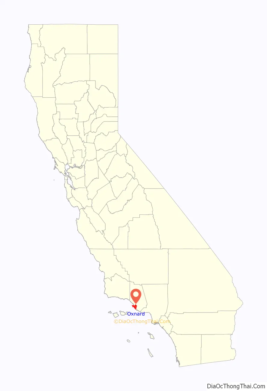
Oxnard location map. Where is Oxnard city?
History
Before the arrival of Europeans, the area was inhabited by Chumash Native Americans. The first European to encounter the area was explorer João Rodrigues Cabrilho, who claimed it for Spain in 1542. During the mission period, Mission San Buenaventura, established in 1782, used the area for raising cattle.
Ranching began to take hold among Californio settlers, who lost their regional influence when California became a US state in 1850. At about the same time, the area was settled by American farmers, who cultivated barley and lima beans.
The Gottfried Maulhardt/Albert Pfeiler Farm site is now an historic farm park.
Henry T. Oxnard, founder of Moorhead, Minnesota-based American Crystal Sugar Company who operated a successful sugar beet factory with his three brothers (Benjamin, James, and Robert) in Chino, California, was enticed to build a $2 million factory on the plain inland from Port Hueneme. Shortly after the 1897 beet campaign, a new town emerged, now commemorated on the National Register of Historic Places as the Henry T. Oxnard Historic District. Oxnard intended to name the settlement after the Greek word for “sugar”, zachari, but frustrated by bureaucracy, named it after himself. Given the potential growth of the town of Oxnard, in the spring of 1898, a railroad station was built to service the plant, which attracted a population of Chinese, Japanese, and Mexican laborers and enough commerce to merit the designation of a town. The Oxnard brothers, who never lived in their namesake city, sold both the Chino and the giant red-brick Oxnard factory in 1899 for nearly $4 million. The Oxnard factory with its landmark twin smokestacks operated from August 19, 1899, until October 26, 1959. Factory operations were interrupted in the Oxnard Strike of 1903.
Oxnard was incorporated as a California city on June 30, 1903, and the public library was opened in 1907. Prior to and during World War II, the naval bases of Point Mugu and Port Hueneme were established in the area to take advantage of the only major navigable port on California’s coast between the Port of Los Angeles and San Francisco Bay, and the bases in turn encouraged the development of the defense-based aerospace and communications industries.
In the mid-20th century Oxnard grew and developed the areas outside the downtown with homes, industry, retail, and a new harbor named Channel Islands Harbor. Martin V. (“Bud”) Smith (1916–2001) became an influential developer. Smith’s first enterprise in 1941 was the Colonial House Restaurant (demolished 1988) and then the Wagon Wheel Junction in 1947, (demolished 2011). He was also involved in the development of the high-rise towers at the Topa Financial Plaza, the Channel Islands Harbor, Casa Sirena Resort, the Esplanade Shopping Mall, Fisherman’s Wharf, the Carriage Square Shopping Center, the Maritime Museum, and many other hotel, restaurant and retail projects.
In June 2004, the Oxnard Police Department and the Ventura County Sheriff imposed a gang injunction over a 6.6-square-mile (17 km) area of the central district of the city, in order to restrict gang activity. The injunction was upheld in the Ventura County Superior Court and made a permanent law in 2005. A similar injunction was imposed in September 2006 over a 4.26-square-mile (11.0 km) area of the south side of the city. Prohibited activities include associating with other known gang members, witness intimidation, possessing firearms or using gang gestures. Since then, court decisions have made adding people to the civil orders more stringent, stemming from lawsuits in Los Angeles and Orange counties. Judges determined that it was unconstitutional for people to be added to a gang injunction without a due-process hearing. As a result of budget cuts due to the COVID-19 pandemic, the Oxnard police stopped maintaining and enforcing the injunction in 2020.
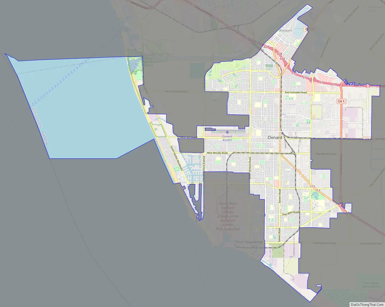
Oxnard Road Map
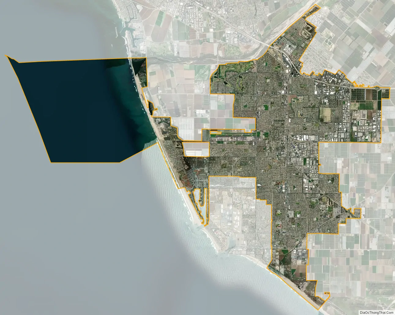
Oxnard city Satellite Map
Geography
Oxnard is located on the Oxnard Plain, an area with fertile soil. With its beaches, dunes, wetlands, creeks and the Santa Clara River, the area contains a number of important biological communities. Native plant communities include: coastal sage scrub, California Annual Grassland, and Coastal Dune Scrub species; however, most native plants have been eliminated from within the city limits to make way for agriculture and urban and industrial development. Also native to the region is the endangered Ventura Marsh Milkvetch, and the last self-sustaining population is in Oxnard in the center of an approved housing development.
Rivers
The Santa Clara River separates Oxnard and Ventura. Tributaries to this river include Sespe Creek, Piru Creek, and Castaic Creek.
Geology
Oxnard is on a tectonically active plate, since most of Coastal California is near the boundaries between the Pacific and North American Plates. The San Andreas Fault, which demarcates this boundary, is about 40 miles away.
One active fault that transverses Oxnard is the Oak Ridge Fault, which straddles the Santa Clara River Valley westward from the Santa Susana Mountains, crosses the Oxnard Plain through Oxnard, and extends into the Santa Barbara Channel. The coastline is subject to inundation by a tsunami up to 23 feet in height.
The fault has proven to be a significant contributor to seismic activity in the Oxnard region and beyond. The 6.7 Mw Northridge earthquake that occurred on January 17, 1994, is believed to have occurred in the Santa Clarita extension of the Oak Ridge Fault. Landslides and ridge-top shattering resulting from the Northridge earthquake were observed above Moorpark, a city 19.6 mi (31.5 km) east of Oxnard.
Climate
Oxnard is the location of the National Weather Service forecast office that serves the Los Angeles area. The city is situated in a Mediterranean (dry subtropical) climate zone, experiencing mild and relatively wet winters, and warm, dry summers, in a climate called the warm-summer Mediterranean climate. Onshore breezes keep the communities of Oxnard cooler in summer and warmer in winter than those further inland. The average mean temperature is 61 °F (16 °C). The average minimum temperature is 52 °F (11 °C) and the average maximum temperature is 69 °F (21 °C). Generally the weather is mild and dry, with around 300 days of sunshine annually. The average annual precipitation is 15.62 in (397 mm).
Wildlife and ecology
The area contains a number of important biological communities. Native plant communities include coastal sage scrub, California Annual Grassland, and Coastal Dune Scrub species; however, most native plants have been eliminated from within the city limits to make way for development. Also native to the region is the endangered Ventura Marsh Milkvetch, with the last self-sustaining population in Oxnard being at the center of a housing development.
The balance of wildlife in Oxnard is similar to that of most places in southern California, with small mammals being common in urbanized areas, like squirrels, raccoons, and skunks. Coyotes prey on these smaller mammals. Small birds and mammals can be food for stray, feral, and pet dogs and cats.
Environmental issues
Oxnard has more coastal power plants than any other city in California, with three fossil-fuel power plants providing energy for cities in both Ventura and Santa Barbara Counties. The California Environmental Protection Agency (CalEPA) has identified Oxnard as a city excessively burdened by multiple sources of pollution. Two of the power plants use ocean water cooling. The Office of Environmental Health Hazard Assessment has categorized much of Oxnard in the top 10 percent of ZIP codes most negatively impacted by pollution in the state. In May 2015, the Oxnard City Council unanimously voted to extend the city moratorium on power plant construction. This moratorium extension occurred due to NRG/Southern California Edison’s proposal, also referred to as the Puente Power Project, to construct a new fossil-fuel power plant. The next morning, a NRG representative stated their case to replace the old power generation plant at Mandalay beach with a new, hi-tech, much cleaner and more efficient plant.
Pesticides are used in the agricultural fields surrounding Oxnard, as the area is one of the nation’s leading strawberry producers, with agriculture being one of the top contributors to Oxnard’s economy. Strawberries depend on large applications of fumigants containing pesticides. The Center for Health Journalism reported four ZIP codes with the highest pesticide use in the state clustered around Oxnard.
Rio Mesa High School, surrounded by agricultural fields of the Oxnard Plain, has been at the center of a Title VI Civil Rights Act complaint since 1999, covering three generations. Title VI prohibits recipients of federal funding from discriminating on the basis of race, color or national origin. The U.S. Environmental Protection Agency (EPA) routinely awards California pesticide regulators millions of dollars in grants. The EPA is required to ensure the recipients of its funding to be in compliance with Title VI. The plaintiffs argue that California pesticide regulators violated Title VI, by approving permits for toxins that disproportionately impacted Latino schoolchildren, who attended schools adjacent to fields with the highest methyl bromide levels in the state.
Architecture
The historical architectural styles of Oxnard ranch family homes are Victorian era, Italian style, and Carpenter Gothic. In the Henry T. Oxnard Historic District, there are five Prairie School and eight Tudor Revival homes. The district includes Mission/Spanish Revival, Bungalow/craftsman, Colonial Revival, and other architecture.
Cityscape
Oxnard is a combination of neighborhoods, and urban development focused on the downtown, coastline, and harbor areas. The city’s main land uses are industrial, residential, commercial, and open space. The city is characterized by one and two-story buildings. The two tallest buildings in the county are in the northern part of the city at Topa Financial Plaza. The fourteen floor high-rise was built in 1973 and the 21 floor high-rise was built in 1986. The city is surrounded by agricultural land and the Pacific Ocean, as well as the Santa Clara River. The city’s primary development lies along Highway 101 and the other main roads.
The Henry T. Oxnard Historic District is a 70-acre (28 ha) historic district that was listed on the National Register of Historic Places in Oxnard. Covering approximately F and G Sts., between Palm and 5th Sts., in the city, the district includes 139 contributing buildings and includes homes mostly built before 1925. It contains Craftsman and Revival architecture in abundance.
Ormond Beach is a beach along the Oxnard coast. The beach, which stretches for two miles, adjoins the Ormond Wetlands, some farmland, and power plant remains. It covers the area in between Points Hueneme and Mugu, and is a well-known birding area. The beach historically contained marshes, salt flat, sloughs, and lagoons, but surrounding agriculture and industry have drained, filled, and degraded the beach and wetlands. However, there is still a dune-transition zone-marsh system along much of the beach.
See also
Map of California State and its subdivision:- Alameda
- Alpine
- Amador
- Butte
- Calaveras
- Colusa
- Contra Costa
- Del Norte
- El Dorado
- Fresno
- Glenn
- Humboldt
- Imperial
- Inyo
- Kern
- Kings
- Lake
- Lassen
- Los Angeles
- Madera
- Marin
- Mariposa
- Mendocino
- Merced
- Modoc
- Mono
- Monterey
- Napa
- Nevada
- Orange
- Placer
- Plumas
- Riverside
- Sacramento
- San Benito
- San Bernardino
- San Diego
- San Francisco
- San Joaquin
- San Luis Obispo
- San Mateo
- Santa Barbara
- Santa Clara
- Santa Cruz
- Shasta
- Sierra
- Siskiyou
- Solano
- Sonoma
- Stanislaus
- Sutter
- Tehama
- Trinity
- Tulare
- Tuolumne
- Ventura
- Yolo
- Yuba
- Alabama
- Alaska
- Arizona
- Arkansas
- California
- Colorado
- Connecticut
- Delaware
- District of Columbia
- Florida
- Georgia
- Hawaii
- Idaho
- Illinois
- Indiana
- Iowa
- Kansas
- Kentucky
- Louisiana
- Maine
- Maryland
- Massachusetts
- Michigan
- Minnesota
- Mississippi
- Missouri
- Montana
- Nebraska
- Nevada
- New Hampshire
- New Jersey
- New Mexico
- New York
- North Carolina
- North Dakota
- Ohio
- Oklahoma
- Oregon
- Pennsylvania
- Rhode Island
- South Carolina
- South Dakota
- Tennessee
- Texas
- Utah
- Vermont
- Virginia
- Washington
- West Virginia
- Wisconsin
- Wyoming