Awendaw is a small fishing town in Charleston County, South Carolina, United States. The population was 1,294 at the 2010 census. Awendaw is part of the Charleston, South Carolina metropolitan area.
| Name: | Awendaw town |
|---|---|
| LSAD Code: | 43 |
| LSAD Description: | town (suffix) |
| State: | South Carolina |
| County: | Charleston County |
| Elevation: | 20 ft (6 m) |
| Total Area: | 17.60 sq mi (45.57 km²) |
| Land Area: | 17.35 sq mi (44.93 km²) |
| Water Area: | 0.25 sq mi (0.65 km²) |
| Total Population: | 1,399 |
| Population Density: | 80.65/sq mi (31.14/km²) |
| ZIP code: | 29429 |
| FIPS code: | 4503385 |
| GNISfeature ID: | 1229363 |
| Website: | www.awendawsc.org |
Online Interactive Map
Click on ![]() to view map in "full screen" mode.
to view map in "full screen" mode.
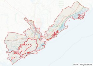
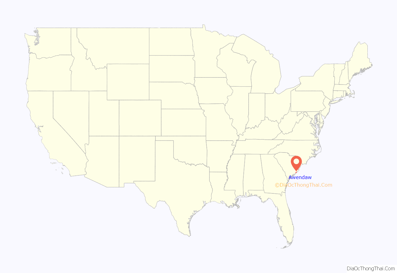
Awendaw location map. Where is Awendaw town?

History
Awendaw was named by the Sewee tribe. Awendaw is thought to mean “Red Clay”. It is also home to an oyster shell mound created by the Sewee tribe. It is the northernmost shell ring in a group that stretches south to the tip of Florida. Most of the mound is still intact. The rest of it was destroyed to construct roads and homes for the citizens of Awendaw. Awendaw was settled in 1696 as Wappetaw by settlers from Salem, Massachusetts, who had left after the Salem Witch Trials. The town was heavily damaged by Hurricane Hugo in September 1989, but did not receive as significant damage in 2004 when Hurricane Gaston made landfall in the region. In 1992, the town of Awendaw was first incorporated and elected Willam H. Alston as the first mayor. Alston served as mayor until 2009.
The Sewee Mound was listed on the National Register of Historic Places in 1970.
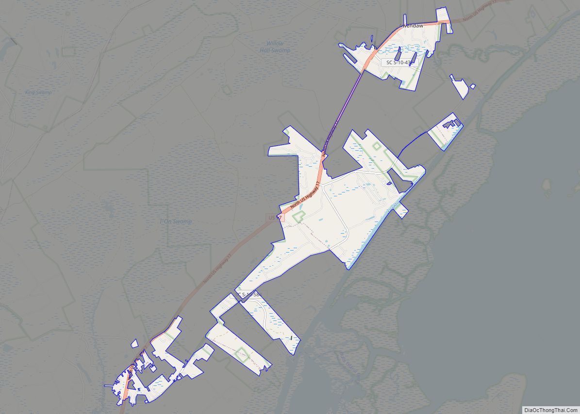
Awendaw Road Map

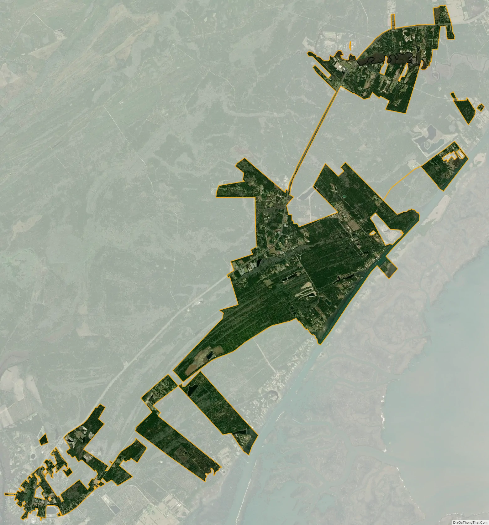
Awendaw city Satellite Map
Geography
Awendaw is located in northeastern Charleston County, along U.S. Route 17 at 32°59′11″N 79°38′36″W / 32.98639°N 79.64333°W / 32.98639; -79.64333 (32.986445, -79.643451). US 17 leads southwest 28 miles (45 km) to Charleston and northeast 32 miles (51 km) to Georgetown.
According to the United States Census Bureau, Awendaw has a total area of 9.7 square miles (25.1 km), of which 9.5 square miles (24.5 km) is land and 0.2 square miles (0.5 km), or 2.13%, is water.
See also
Map of South Carolina State and its subdivision:- Abbeville
- Aiken
- Allendale
- Anderson
- Bamberg
- Barnwell
- Beaufort
- Berkeley
- Calhoun
- Charleston
- Cherokee
- Chester
- Chesterfield
- Clarendon
- Colleton
- Darlington
- Dillon
- Dorchester
- Edgefield
- Fairfield
- Florence
- Georgetown
- Greenville
- Greenwood
- Hampton
- Horry
- Jasper
- Kershaw
- Lancaster
- Laurens
- Lee
- Lexington
- Marion
- Marlboro
- McCormick
- Newberry
- Oconee
- Orangeburg
- Pickens
- Richland
- Saluda
- Spartanburg
- Sumter
- Union
- Williamsburg
- York
- Alabama
- Alaska
- Arizona
- Arkansas
- California
- Colorado
- Connecticut
- Delaware
- District of Columbia
- Florida
- Georgia
- Hawaii
- Idaho
- Illinois
- Indiana
- Iowa
- Kansas
- Kentucky
- Louisiana
- Maine
- Maryland
- Massachusetts
- Michigan
- Minnesota
- Mississippi
- Missouri
- Montana
- Nebraska
- Nevada
- New Hampshire
- New Jersey
- New Mexico
- New York
- North Carolina
- North Dakota
- Ohio
- Oklahoma
- Oregon
- Pennsylvania
- Rhode Island
- South Carolina
- South Dakota
- Tennessee
- Texas
- Utah
- Vermont
- Virginia
- Washington
- West Virginia
- Wisconsin
- Wyoming