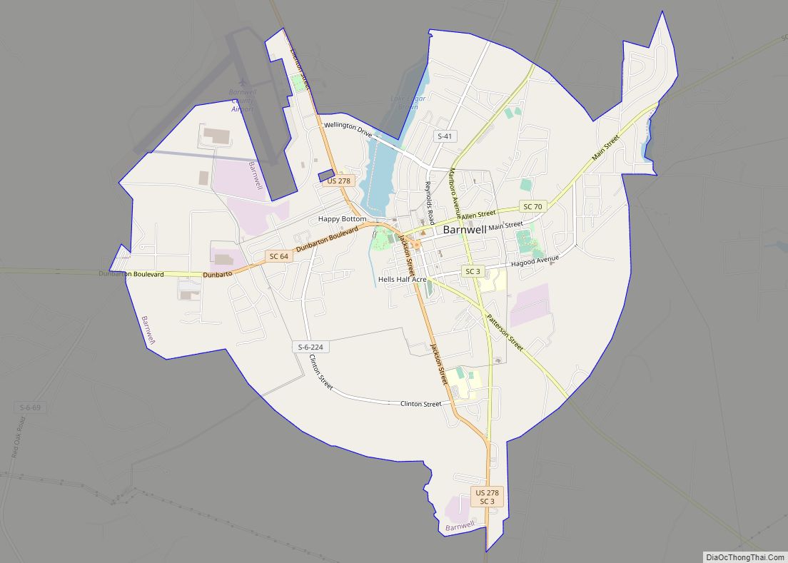
Barnwell is a city in and county seat of Barnwell County, South Carolina, United States, located along U.S. Route 278. The population was 4,750 at the 2010 census.
| Name: | Barnwell city |
|---|---|
| LSAD Code: | 25 |
| LSAD Description: | city (suffix) |
| State: | South Carolina |
| County: | Barnwell County |
| Elevation: | 217 ft (66 m) |
| Total Area: | 7.99 sq mi (20.70 km²) |
| Land Area: | 7.84 sq mi (20.31 km²) |
| Water Area: | 0.15 sq mi (0.38 km²) |
| Total Population: | 4,652 |
| Population Density: | 593.22/sq mi (229.03/km²) |
| ZIP code: | 29812-29813 |
| FIPS code: | 4504060 |
| GNISfeature ID: | 1244965 |
| Website: | www.cityofbarnwell.com |
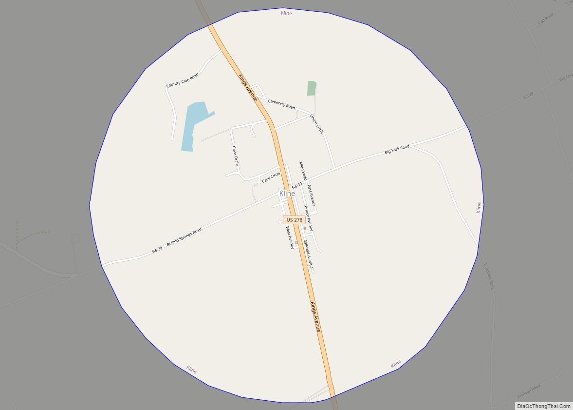
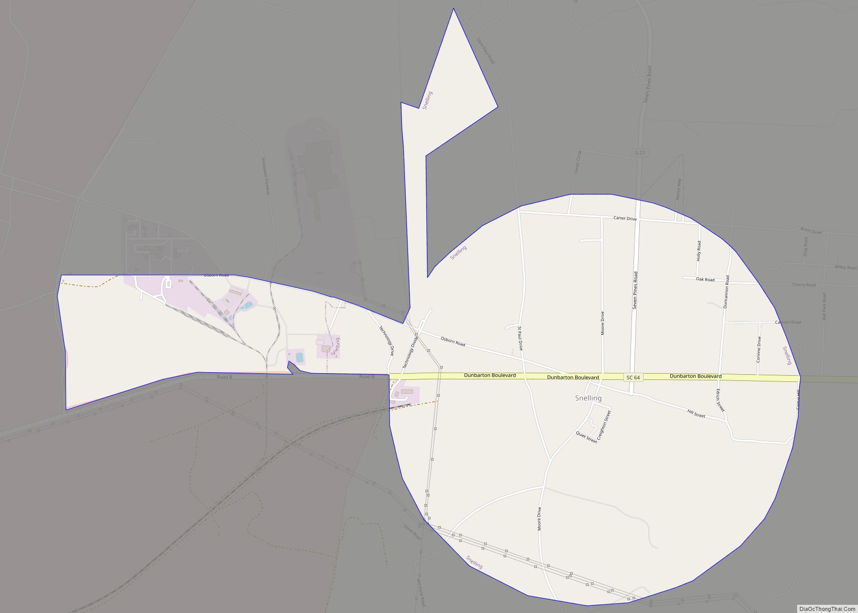
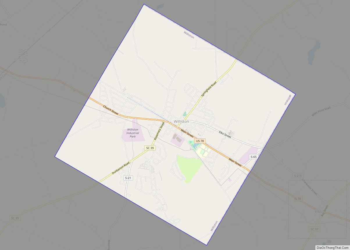
Online Interactive Map
Click on ![]() to view map in "full screen" mode.
to view map in "full screen" mode.
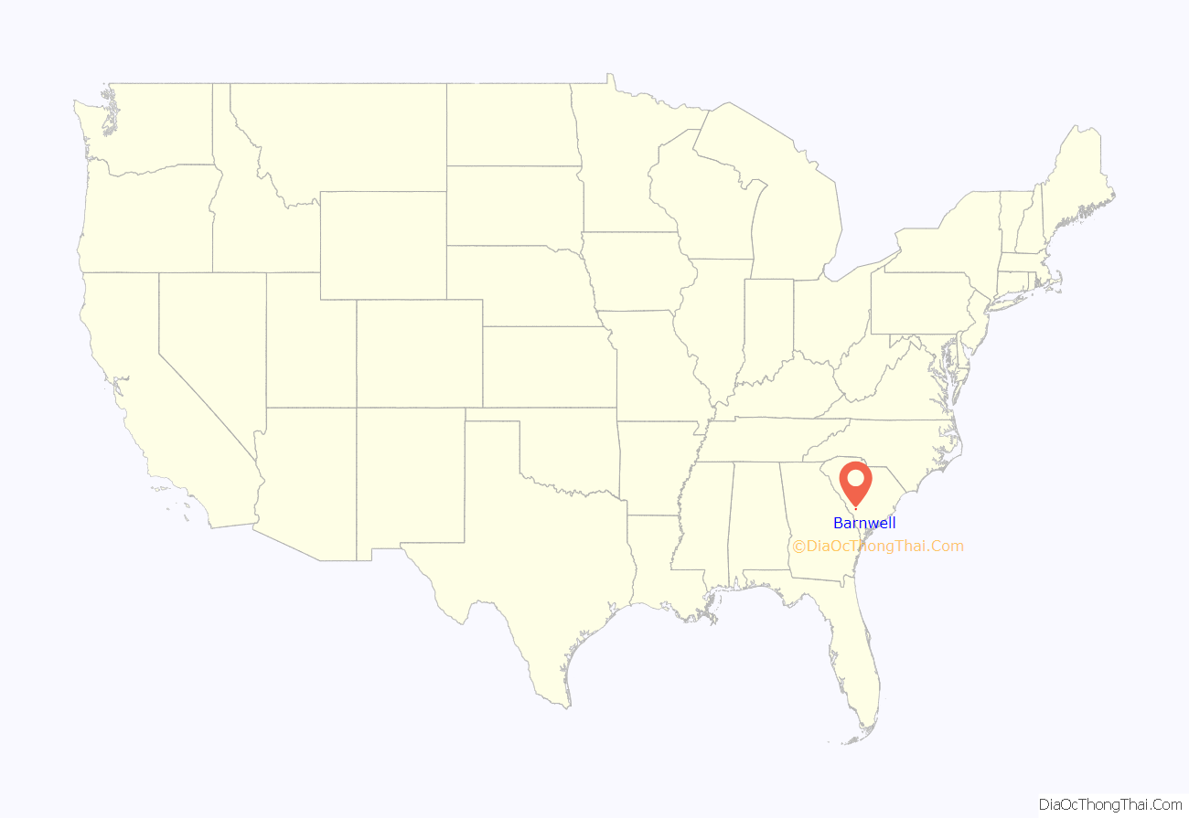
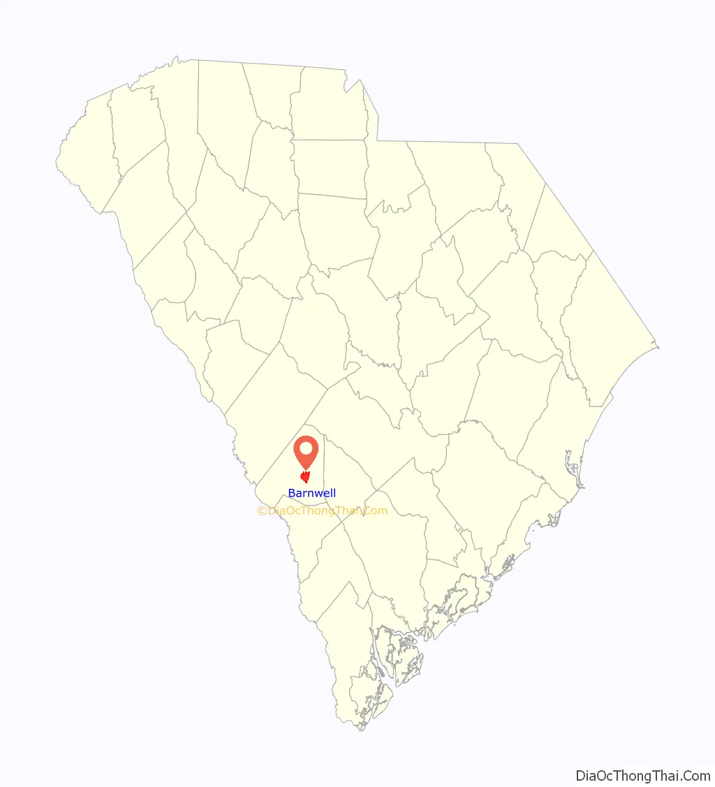
Barnwell location map. Where is Barnwell city?
History
In 1785 the district of Winton County was formed from a portion of the Orangeburg District in order to create another judicial circuit. It was given its current name in 1798 when the county and its seat were named for Revolutionary War leader John Barnwell (1748–1800), who headed a militia in South Carolina. Barnwell County originally stretched from the Savannah River on the west almost to the Atlantic Ocean.
Built in 1832, the South Carolina Railroad connected Charleston to Hamburg, near Augusta, Georgia, upriver on the Savannah River. The designation of two stops on the railroad led to the development of the towns of Blackville and Williston in the mid-nineteenth century.
Civil War
Barnwell gave generously to the Confederate cause. Its most distinguished participant was Confederate General Johnson Hagood, who was later elected as governor of South Carolina, serving.
When Union General Judson Kilpatrick was in Barnwell, as part of General Sherman’s March to the Sea, his horses were stabled in the Episcopal Church of the Holy Apostles; the baptismal font in the church was used to water the horses.
Registered historic sites
Banksia Hall, Bethlehem Baptist Church, Church of the Holy Apostles Rectory, Church of the Holy Apostles, Episcopal, and Old Presbyterian Church are listed on the National Register of Historic Places.
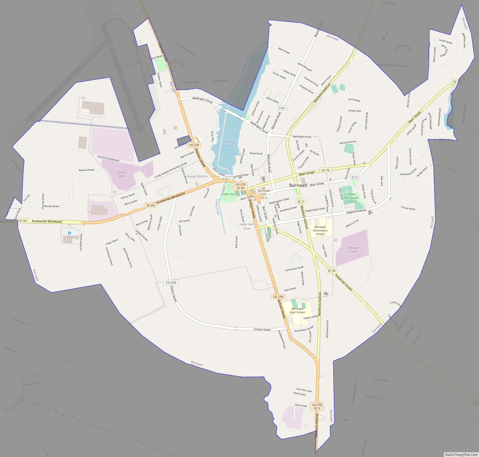
Barnwell Road Map
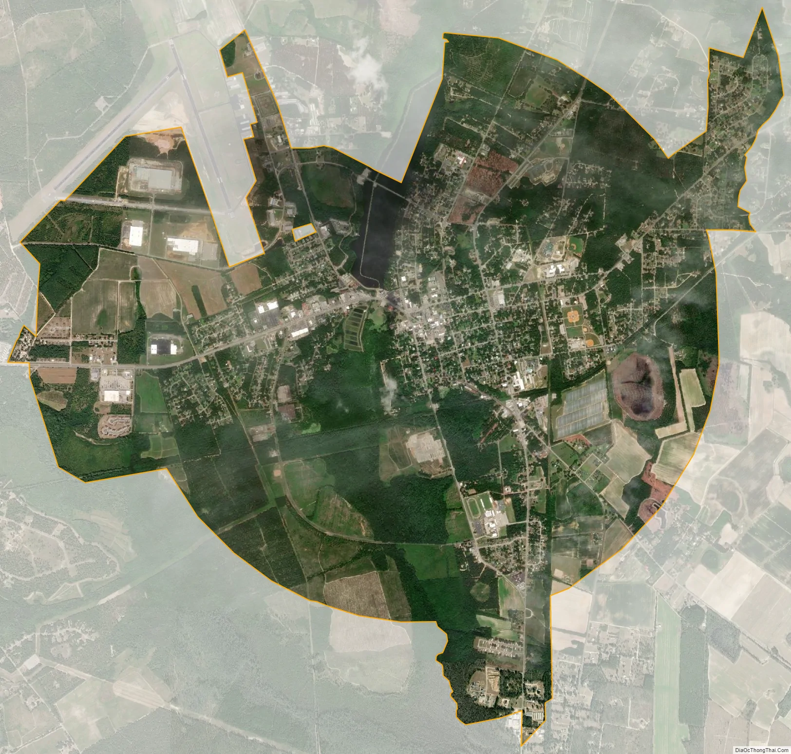
Barnwell city Satellite Map
Geography
Barnwell is located east of the center of Barnwell County at 33°14′40″N 81°21′48″W / 33.24444°N 81.36333°W / 33.24444; -81.36333 (33.244534, −81.363214). Turkey Creek, a tributary of the Salkehatchie River, runs through the city just west of the downtown, and includes a small impoundment known as Lake Brown in the north part of the city.
U.S. Route 278 passes through the city, leading south 17 miles (27 km) to Allendale and northwest 42 miles (68 km) to Augusta, Georgia. State highways 3, 70, 64 also pass through the city; SC 64 leads west 6 miles (10 km) to the east entrance of the Savannah River Site, which is a nuclear reservation.
According to the United States Census Bureau, Barnwell has a total area of 8.0 square miles (20.7 km), of which 7.8 square miles (20.3 km) is land and 0.15 square miles (0.4 km), or 1.86%, is water.
See also
Map of South Carolina State and its subdivision:- Abbeville
- Aiken
- Allendale
- Anderson
- Bamberg
- Barnwell
- Beaufort
- Berkeley
- Calhoun
- Charleston
- Cherokee
- Chester
- Chesterfield
- Clarendon
- Colleton
- Darlington
- Dillon
- Dorchester
- Edgefield
- Fairfield
- Florence
- Georgetown
- Greenville
- Greenwood
- Hampton
- Horry
- Jasper
- Kershaw
- Lancaster
- Laurens
- Lee
- Lexington
- Marion
- Marlboro
- McCormick
- Newberry
- Oconee
- Orangeburg
- Pickens
- Richland
- Saluda
- Spartanburg
- Sumter
- Union
- Williamsburg
- York
- Alabama
- Alaska
- Arizona
- Arkansas
- California
- Colorado
- Connecticut
- Delaware
- District of Columbia
- Florida
- Georgia
- Hawaii
- Idaho
- Illinois
- Indiana
- Iowa
- Kansas
- Kentucky
- Louisiana
- Maine
- Maryland
- Massachusetts
- Michigan
- Minnesota
- Mississippi
- Missouri
- Montana
- Nebraska
- Nevada
- New Hampshire
- New Jersey
- New Mexico
- New York
- North Carolina
- North Dakota
- Ohio
- Oklahoma
- Oregon
- Pennsylvania
- Rhode Island
- South Carolina
- South Dakota
- Tennessee
- Texas
- Utah
- Vermont
- Virginia
- Washington
- West Virginia
- Wisconsin
- Wyoming