Map of Calhoun town, Tennessee

Map of Calhoun town, Tennessee

Calhoun is a town in McMinn County, Tennessee, United States. It is part of the Athens Micropolitan Statistical Area . The population was estimated at 536 in 2020. Calhoun town overview: Name: Calhoun town LSAD Code: 43 LSAD Description: town (suffix) State: Tennessee County: McMinn County Founded: 1820 Incorporated: 1961 Elevation: 712 ft (217 m) Total Area: … Read more

Map of Byrdstown town

Map of Byrdstown town

Byrdstown is a town in Pickett County, Tennessee, United States. The population was 798 at the 2020 census. It is the county seat of Pickett County. Byrdstown town overview: Name: Byrdstown town LSAD Code: 43 LSAD Description: town (suffix) State: Tennessee County: Pickett County Founded: 1879 Incorporated: 1917 Elevation: 1,037 ft (316 m) Total Area: 1.49 sq mi (3.85 km²) … Read more

Map of Burns town, Tennessee

Map of Burns town, Tennessee

Burns is a town in Dickson County, Tennessee, in the United States. It is part of the Nashville-Davidson–Murfreesboro–Franklin Metropolitan Statistical Area. The population was 1,468 at the 2010 census. Burns town overview: Name: Burns town LSAD Code: 43 LSAD Description: town (suffix) State: Tennessee County: Dickson County Elevation: 801 ft (244 m) Total Area: 3.39 sq mi (8.77 km²) Land … Read more

Map of Burlison town

Map of Burlison town

Burlison is a town in Tipton County, Tennessee. The population was 425 at the 2010 census. Burlison town overview: Name: Burlison town LSAD Code: 43 LSAD Description: town (suffix) State: Tennessee County: Tipton County Elevation: 410 ft (125 m) Total Area: 1.05 sq mi (2.72 km²) Land Area: 1.05 sq mi (2.72 km²) Water Area: 0.00 sq mi (0.00 km²) Total Population: 367 Population Density: 349.52/sq mi … Read more

Map of Bulls Gap town

Map of Bulls Gap town

Bulls Gap is a town in Hawkins County, Tennessee, United States. The population was 756 at the 2020 census. It is part of the Kingsport–Bristol (TN)–Bristol (VA) Metropolitan Statistical Area, which is a component of the Johnson City–Kingsport–Bristol, TN-VA Combined Statistical Area – commonly known as the “Tri-Cities” region. The downtown area is listed on … Read more

Map of Bruceton town

Map of Bruceton town

Bruceton is a town in Carroll County, Tennessee, United States. The population was 1,507 in the 2020 census. Bruceton and neighboring town Hollow Rock share a school district, the Hollow Rock-Bruceton Special School District. Bruceton town overview: Name: Bruceton town LSAD Code: 43 LSAD Description: town (suffix) State: Tennessee County: Carroll County Incorporated: 1925 Elevation: … Read more

Map of Brownsville city, Tennessee

Map of Brownsville city, Tennessee

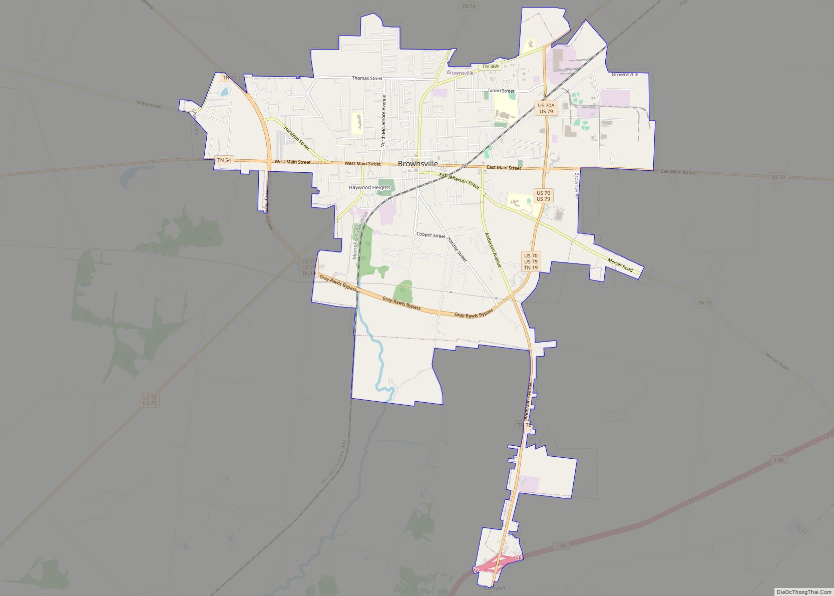
Brownsville is a city in and the county seat of Haywood County, Tennessee, United States, located in the western Tennessee Delta. Its population as of the 2010 census was 10,292, with a decrease to 9,788 at the 2020 census. The city is named after General Jacob Jennings Brown, an American officer of the War of … Read more

Map of Bristol city, Tennessee

Map of Bristol city, Tennessee

Bristol is a city in Sullivan County, Tennessee, United States. The population was 27,147 at the 2020 census. It is the twin city of Bristol, Virginia, which lies directly across the state line between Tennessee and Virginia. The boundary between the two cities is also the state line, which runs along State Street in their … Read more

Map of Brighton town, Tennessee

Map of Brighton town, Tennessee

Brighton is a town in Tipton County, Tennessee, United States. The population was 2,735 at the 2010 census. Brighton town overview: Name: Brighton town LSAD Code: 43 LSAD Description: town (suffix) State: Tennessee County: Tipton County Elevation: 341 ft (104 m) Total Area: 3.04 sq mi (7.86 km²) Land Area: 3.04 sq mi (7.86 km²) Water Area: 0.00 sq mi (0.00 km²) Total Population: 2,888 Population … Read more

Map of Brentwood city, Tennessee

Map of Brentwood city, Tennessee

Brentwood is a city in Williamson County, Tennessee, United States. The population was 45,373 as of the 2020 United States census. It is a suburb of Nashville and included in the Nashville metropolitan area. Brentwood city overview: Name: Brentwood city LSAD Code: 25 LSAD Description: city (suffix) State: Tennessee County: Williamson County Incorporated: 1969 Elevation: … Read more

Map of Chapel Hill town, Tennessee

Map of Chapel Hill town, Tennessee

Chapel Hill is a town in northeastern Marshall County, Tennessee, United States. The town was named after Chapel Hill, North Carolina, by settlers from that area. The population was 1,717 as of the 2020 census. Chapel Hill town overview: Name: Chapel Hill town LSAD Code: 43 LSAD Description: town (suffix) State: Tennessee County: Marshall County … Read more

Map of Central CDP, Tennessee

Map of Central CDP, Tennessee

Central is an unincorporated community and census-designated place (CDP) in western Carter County, Tennessee, United States. The population was 2,717 at the 2000 census and 2,279 at the 2010 census. It is part of the Johnson City Metropolitan Statistical Area, which is a component of the Johnson City–Kingsport–Bristol, TN-VA Combined Statistical Area – commonly known … Read more