Calhoun is a town in McMinn County, Tennessee, United States. It is part of the Athens Micropolitan Statistical Area . The population was estimated at 536 in 2020.
| Name: | Calhoun town |
|---|---|
| LSAD Code: | 43 |
| LSAD Description: | town (suffix) |
| State: | Tennessee |
| County: | McMinn County |
| Founded: | 1820 |
| Incorporated: | 1961 |
| Elevation: | 712 ft (217 m) |
| Total Area: | 1.25 sq mi (3.23 km²) |
| Land Area: | 1.19 sq mi (3.08 km²) |
| Water Area: | 0.06 sq mi (0.15 km²) |
| Total Population: | 536 |
| Population Density: | 451.56/sq mi (174.29/km²) |
| ZIP code: | 37309 |
| Area code: | 423 |
| FIPS code: | 4710440 |
| GNISfeature ID: | 1279325 |
Online Interactive Map
Click on ![]() to view map in "full screen" mode.
to view map in "full screen" mode.
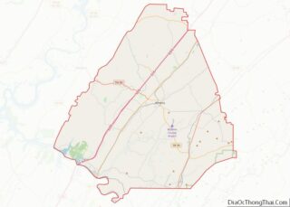
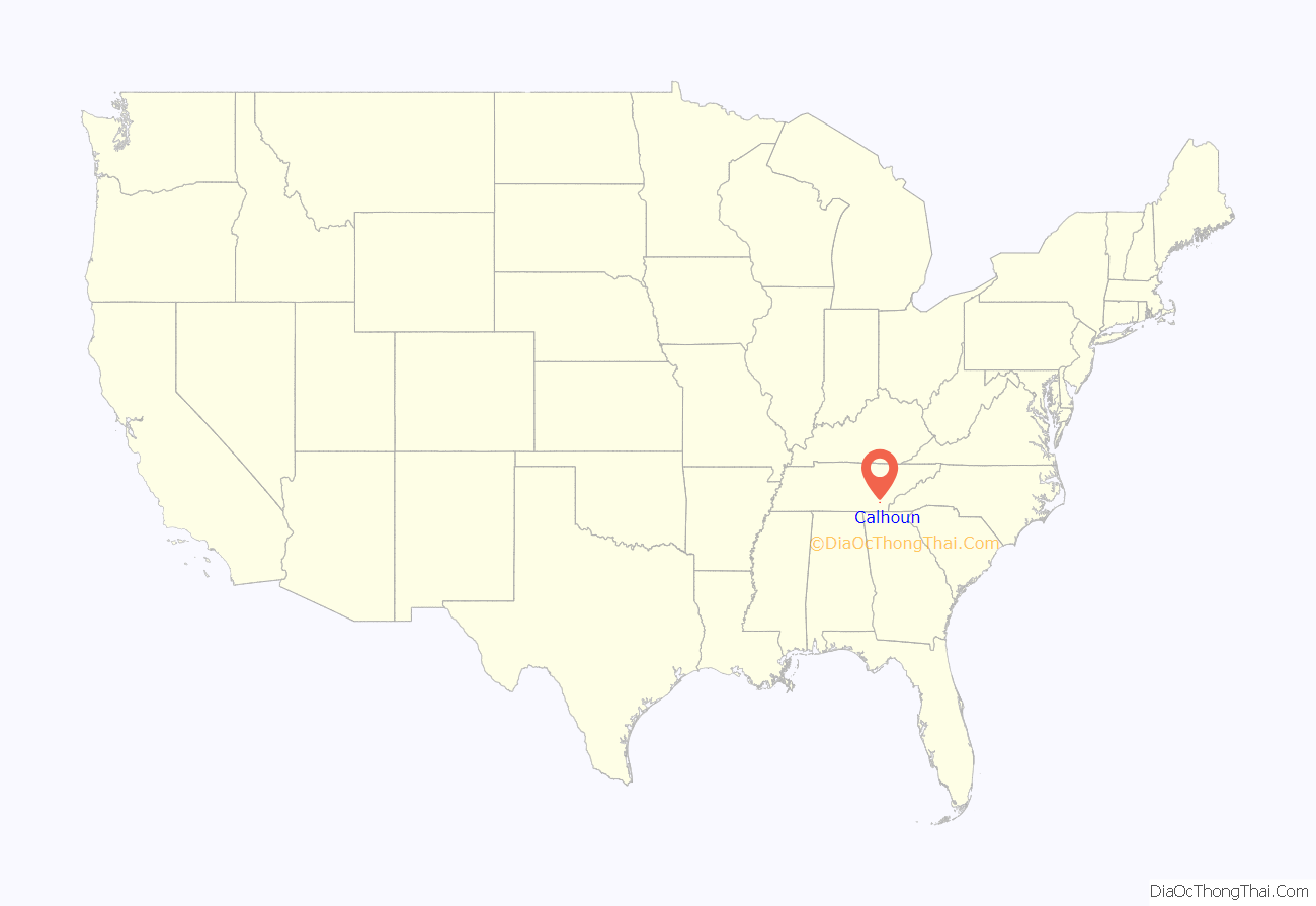
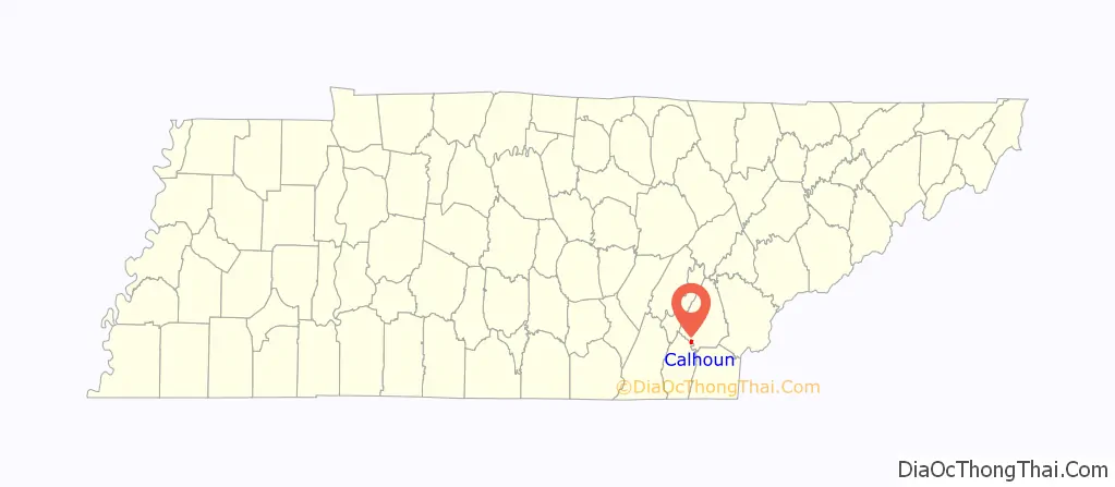
Calhoun location map. Where is Calhoun town?
History
The area where Calhoun is located was settled by John Walker (c. 1770-1834), a part-Cherokee grandson of Nancy Ward and a prominent figure in the formation of McMinn County. Walker helped contract the Cherokee Turnpike Company in 1808 to maintain a road between Knoxville and Georgia. What is now Cahoun began around 1808, when Walker established a ferry across the Hiwassee River between the present locations of Calhoun and Charleston. In 1819, Walker helped negotiate the Calhoun Treaty, where the Cherokee ceded the remaining lands between the Hiwassee River and the Little Tennessee River to the U.S. government. That same year McMinn County was organized at Walker’s home in Calhoun. In 1820, Walker laid out the town of Calhoun, which he named for John C. Calhoun, the Calhoun Treaty’s chief U.S. negotiator. Walker’s son, John “Jack” Walker Jr., would eventually be assassinated by two anti-removal Cherokees, who felt he had betrayed the Cherokee Nation.
Joseph McMinn, governor of Tennessee from 1815 to 1821, spent the last few years of his life in Calhoun, and is buried in the Shiloh Presbyterian Cemetery, which is located in Calhoun.
In 1954, the pulp and paper giant Bowater (now Resolute Forest Products) established a plant in Calhoun that soon grew to become one of the largest newsprint mills in North America. The mill, which dominates the western half of Calhoun, produces 750,000 metric tons of newsprint and specialty paper per year.
There is one government building in the city which functions as the town’s library, courthouse, police station, and fire station. Directly across the road from this building is a baseball field where Little League games are held.
Calhoun had its own high school that shut down in 1980. They had some very successful baseball teams. They also had basketball teams. Their cross river rivals were the Charleston panthers who also later closed their high school in 2001.
On December 11, 1990, a heavy fog led to a crash involving 99 vehicles along Interstate 75 near Calhoun, killing 12 and injuring 42. As a result, electronic speed limit signs equipped with fog sensors have been installed along the Calhoun section of the interstate.
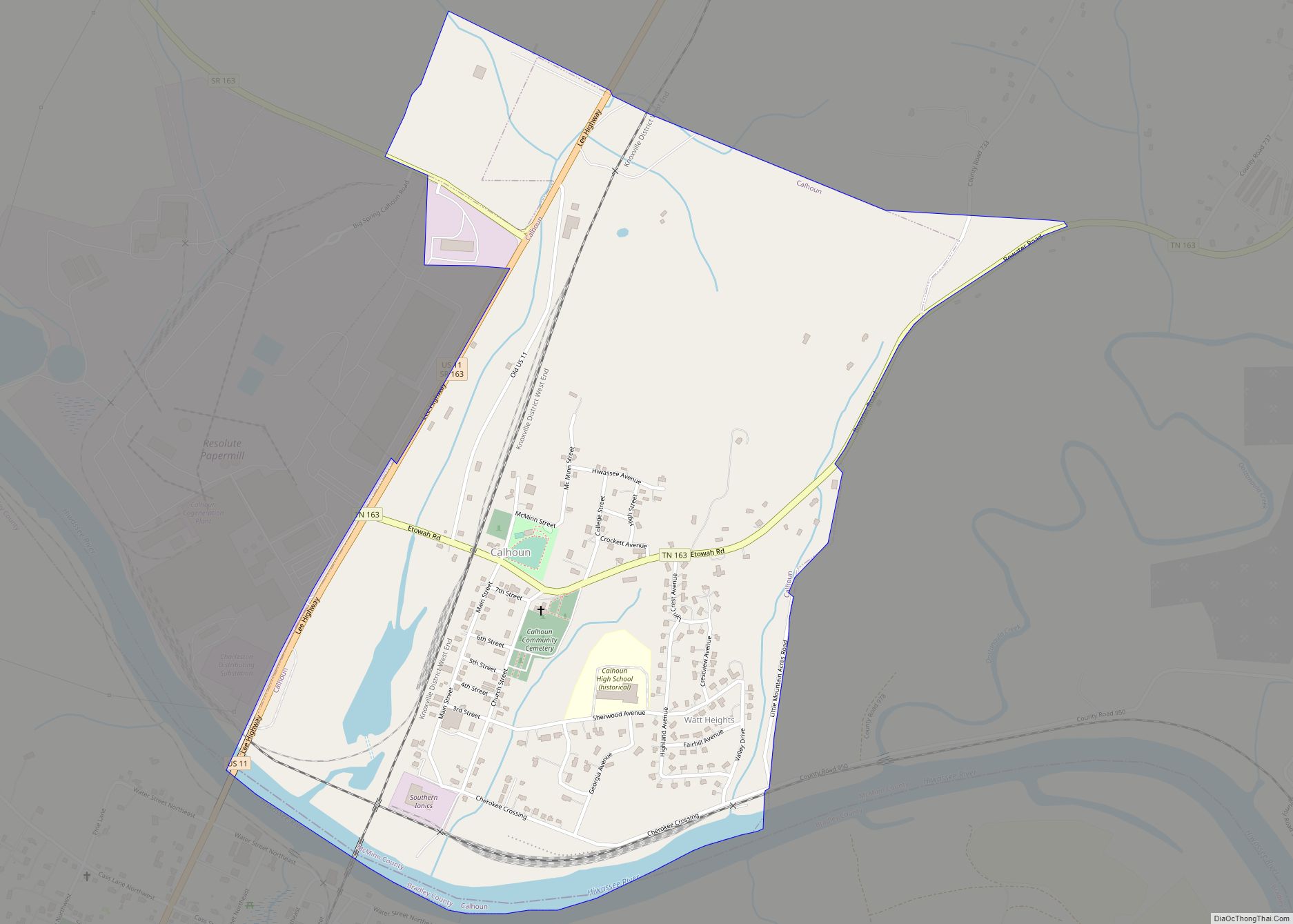
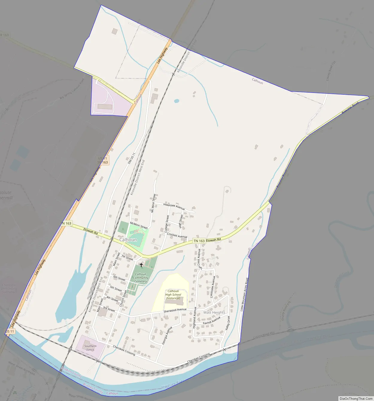
Calhoun Road Map
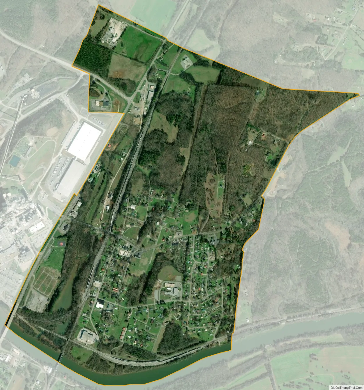
Calhoun city Satellite Map
Geography
Calhoun is situated along the north bank of the Hiwassee River, which flows from the Appalachian Mountains to the east and empties into the Chickamauga Lake impoundment of the Tennessee River a few miles to the west. The river forms the boundary between McMinn County and Bradley County. The town of Charleston is located across the river to the south, on the Bradley County side.
Calhoun is situated around the junction of U.S. Route 11, which connects the town to Athens to the north and Charleston and Cleveland to the south, and State Route 163 (Bowater Road), which connects Calhoun to U.S. Route 411 in Delano to the east and Interstate 75 (Exit 36) to the west.
According to the United States Census Bureau, the town has a total area of 1.1 square miles (2.8 km), of which 1.0 square mile (2.6 km) is land and 0.1 square miles (0.26 km) (4.67%) is water.
See also
Map of Tennessee State and its subdivision:- Anderson
- Bedford
- Benton
- Bledsoe
- Blount
- Bradley
- Campbell
- Cannon
- Carroll
- Carter
- Cheatham
- Chester
- Claiborne
- Clay
- Cocke
- Coffee
- Crockett
- Cumberland
- Davidson
- Decatur
- DeKalb
- Dickson
- Dyer
- Fayette
- Fentress
- Franklin
- Gibson
- Giles
- Grainger
- Greene
- Grundy
- Hamblen
- Hamilton
- Hancock
- Hardeman
- Hardin
- Hawkins
- Haywood
- Henderson
- Henry
- Hickman
- Houston
- Humphreys
- Jackson
- Jefferson
- Johnson
- Knox
- Lake
- Lauderdale
- Lawrence
- Lewis
- Lincoln
- Loudon
- Macon
- Madison
- Marion
- Marshall
- Maury
- McMinn
- McNairy
- Meigs
- Monroe
- Montgomery
- Moore
- Morgan
- Obion
- Overton
- Perry
- Pickett
- Polk
- Putnam
- Rhea
- Roane
- Robertson
- Rutherford
- Scott
- Sequatchie
- Sevier
- Shelby
- Smith
- Stewart
- Sullivan
- Sumner
- Tipton
- Trousdale
- Unicoi
- Union
- Van Buren
- Warren
- Washington
- Wayne
- Weakley
- White
- Williamson
- Wilson
- Alabama
- Alaska
- Arizona
- Arkansas
- California
- Colorado
- Connecticut
- Delaware
- District of Columbia
- Florida
- Georgia
- Hawaii
- Idaho
- Illinois
- Indiana
- Iowa
- Kansas
- Kentucky
- Louisiana
- Maine
- Maryland
- Massachusetts
- Michigan
- Minnesota
- Mississippi
- Missouri
- Montana
- Nebraska
- Nevada
- New Hampshire
- New Jersey
- New Mexico
- New York
- North Carolina
- North Dakota
- Ohio
- Oklahoma
- Oregon
- Pennsylvania
- Rhode Island
- South Carolina
- South Dakota
- Tennessee
- Texas
- Utah
- Vermont
- Virginia
- Washington
- West Virginia
- Wisconsin
- Wyoming