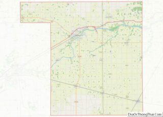
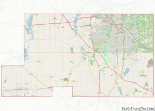
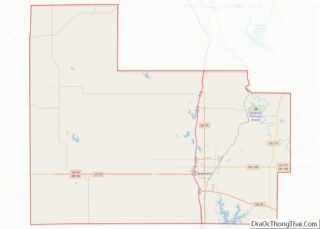
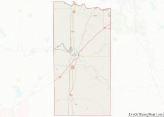
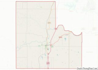
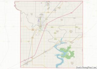
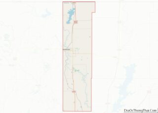
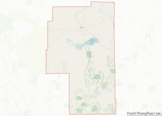
Map of Polk County

Map of Polk County, Florida

Polk County is located in the central portion of the U.S. state of Florida. The county population was 725,046, as of the 2020 census. Its county seat is Bartow, and its largest city is Lakeland. Polk County comprises the Lakeland–Winter Haven Metropolitan Statistical Area. This MSA is the 81st-most populous metropolitan statistical area and the … Read more

Map of Atkinson County

Map of Atkinson County, Georgia

Atkinson County is a county located in the southeastern portion of the U.S. state of Georgia. As of the 2020 census, the population was 8,286. The county seat is Pearson. The county was formed in 1917 from parts of Coffee and Clinch Counties. It is named for William Yates Atkinson, Democratic governor of Georgia from … Read more

Map of Butts County

Map of Butts County, Georgia

Butts County is a county located in the central part of the U.S. state of Georgia. As of the 2020 census, the population was 25,434, up from 23,655 in 2010. The county seat is Jackson. The county was created on December 24, 1825. Butts County is included in the Atlanta-Sandy Springs-Roswell, GA Metropolitan Statistical Area. … Read more

Map of Coffee County

Map of Coffee County, Georgia

Coffee County is a county located in the southeastern part of the U.S. state of Georgia. As of the 2020 census, the population was 43,092, up from 37,413 at the 2010 census. The county seat is Douglas. Coffee County comprises the Douglas, GA Micropolitan Statistical Area. Coffee County overview: Name: Coffee County FIPS code: 13-069 … Read more

Map of Echols County

Map of Echols County, Georgia

Echols County (/ˈɛkʊz/) is a county located in the southeastern part of the U.S. state of Georgia. As of the 2020 census, the population was 3,697. The county seat is Statenville. Statenville is a disincorporated municipality. Echols and Webster counties are the only two counties in Georgia to currently have no incorporated municipalities. The county … Read more

Map of Greene County

Map of Greene County, Georgia

Greene County overview: Name: Greene County FIPS code: 13-133 State: Georgia Founded: 1786 Named for: Nathanael Greene Seat: Greensboro Largest city: Greensboro Total Area: 406 sq mi (1,050 km²) Land Area: 387 sq mi (1,000 km²) Total Population: 18,915 Population Density: 49/sq mi (19/km²) Time zone: UTC−5 (Eastern) Summer Time Zone (DST): UTC−4 (EDT) Website: www.greenecountyga.gov Greene County location map. Where is … Read more

Map of Jenkins County

Map of Jenkins County, Georgia

Jenkins County is a county located in the southeastern area of the U.S. state of Georgia. As of the 2020 census, the population was 8,674. The county seat is Millen. The county was created on August 17, 1905, and named after the 44th Governor of Georgia, Charles Jones Jenkins. Jenkins County overview: Name: Jenkins County … Read more

Map of McIntosh County

Map of McIntosh County, Georgia

McIntosh County overview: Name: McIntosh County FIPS code: 13-191 State: Georgia Founded: 1793 Named for: Lachlan McIntosh Seat: Darien Largest city: Darien Total Area: 574 sq mi (1,490 km²) Land Area: 424 sq mi (1,100 km²) Total Population: 10,975 Population Density: 26/sq mi (10/km²) Time zone: UTC−5 (Eastern) Summer Time Zone (DST): UTC−4 (EDT) Website: www.mcintoshcountyga.com McIntosh County location map. Where is … Read more

Map of Pike County

Map of Pike County, Georgia

Pike County is a county located in the west central portion of the U.S. state of Georgia. As of the 2020 census, the population was 18,889. The county seat is Zebulon. Pike County overview: Name: Pike County FIPS code: 13-231 State: Georgia Founded: 1822 Named for: Zebulon Pike Seat: Zebulon Largest city: Zebulon Total Area: … Read more

Map of Talbot County

Map of Talbot County, Georgia

Talbot County is a county located in the west central portion of the U.S. state of Georgia. The 2020 census showed a population of 5,733. The county seat and largest city is Talbotton. Talbot County overview: Name: Talbot County FIPS code: 13-263 State: Georgia Founded: 1827 Named for: Matthew Talbot Seat: Talbotton Largest city: Talbotton … Read more

Map of Walker County

Map of Walker County, Georgia

Walker County is a county located in the northwestern part of the U.S. state of Georgia. As of the 2020 census, the population was 67,654, down from 68,756 in 2010. The county seat is LaFayette. The county was created on December 18, 1833, from land formerly belonging to the Cherokee Indian Nation. Walker County is … Read more

Map of Kalawao County

Map of Kalawao County, Hawaii

Kalawao County (Hawaiian: Kalana o Kalawao) is a county in the U.S. state of Hawaii. It is the smallest county in the 50 states by land area and the second-smallest county by population, after Loving County, Texas. The county encompasses the Kalaupapa or Makanalua Peninsula, on the north coast of the island of Molokaʻi. The … Read more